© Unbekannt - Christian Perret

© Ferienregion Andermatt - Andermatt-Urserntal Tourismus GmbH

© Ferienregion Andermatt - Andermatt-Urserntal Tourismus GmbH

© Ferienregion Andermatt - Andermatt-Urserntal Tourismus GmbH

© Ferienregion Andermatt - Andermatt-Urserntal Tourismus GmbH

© Ferienregion Andermatt - Andermatt-Urserntal Tourismus GmbH

© Ferienregion Andermatt - Andermatt-Urserntal Tourismus GmbH

© Ferienregion Andermatt - Andermatt-Urserntal Tourismus GmbH

© Ferienregion Andermatt - Andermatt-Urserntal Tourismus GmbH

© Ferienregion Andermatt - Andermatt-Urserntal Tourismus GmbH


- Brief description
-
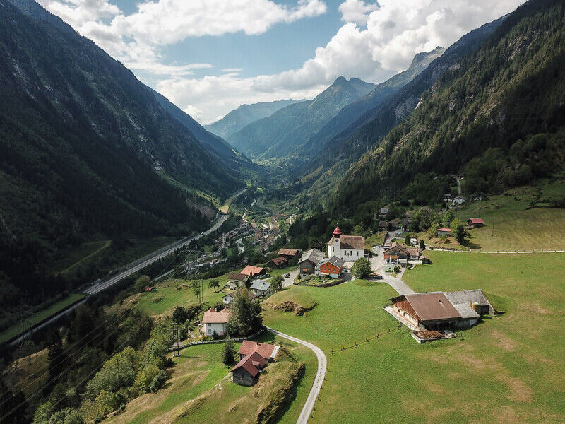
The easy hike from Arni to Gurtnellen village leads through gnarled mountain forests and colourful flower-spangled meadows, past rustic Alpine buildings and picturesque farmhouses.
- Difficulty
-
easy
- Rating
-
- Starting point
-
Arni
- Route
-
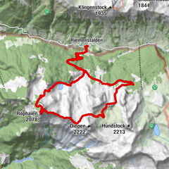
Arnisee (1,372 m)0.0 kmBerggasthaus Alpenblick0.0 kmArni1.1 kmTorli1.5 kmSchipfenberg4.6 kmRuepelingen4.9 kmFottigen5.3 kmBitzi6.4 kmGasthaus im Feld6.5 kmSt. Michael6.5 km
- Best season
-
JanFebMarAprMayJunJulAugSepOctNovDec
- Description
-
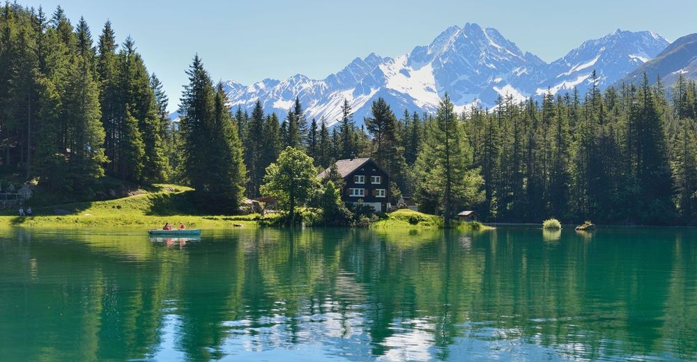
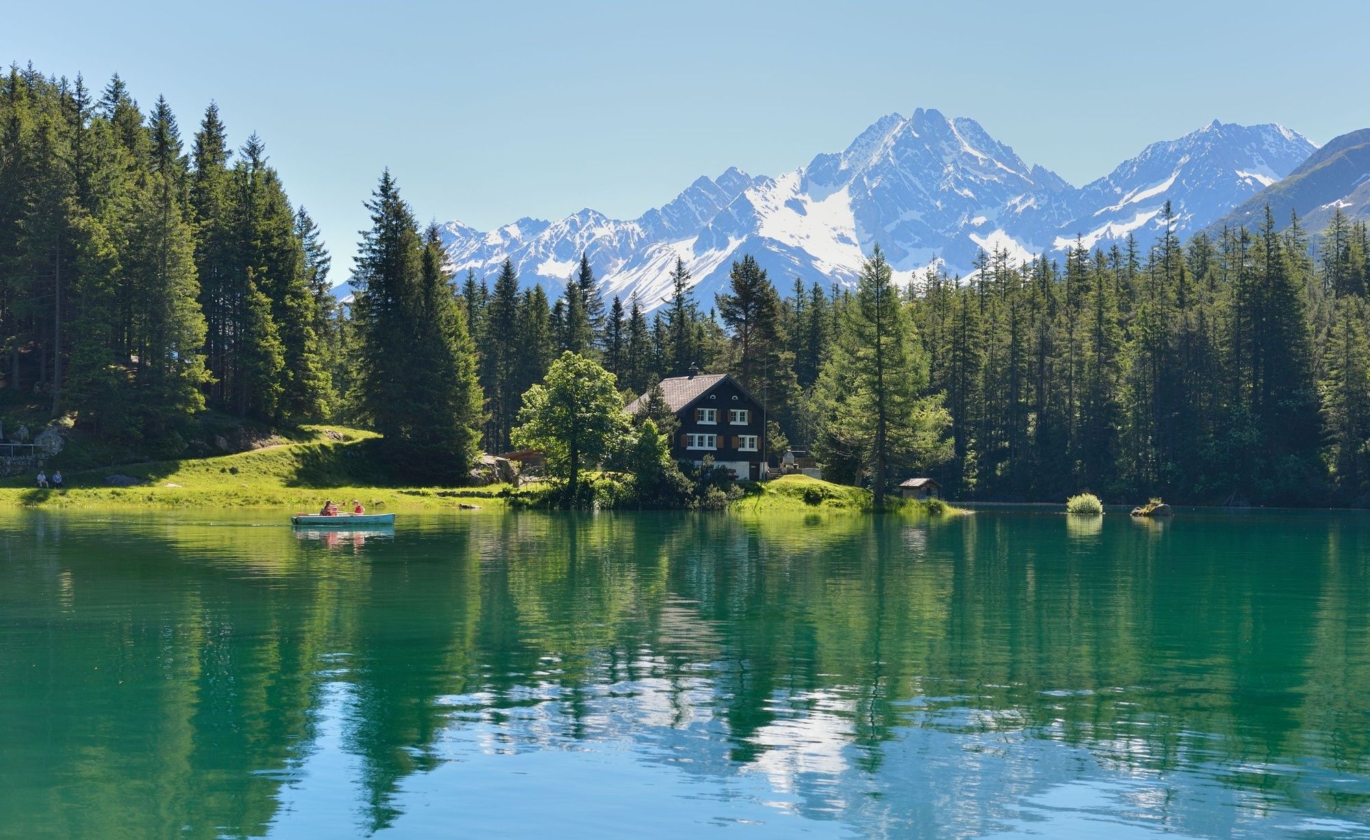
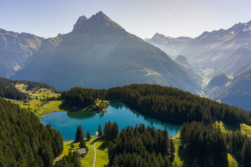
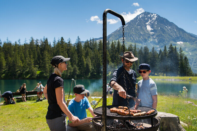
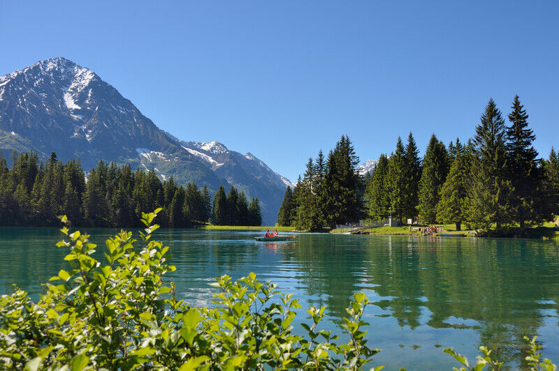
The idyllically-situated Arni sun terrace, high above Gurtnellen, offers a place of complete relaxation. The small, crystal-clear reservoir invites you to stay a little longer and enjoy yourself. The view into the Maderanen valley with the Bristenstock is truly magnificent. The route continues along a wide gravel road, taking you to Gurtnellen village.
- Highest point
- 1,408 m
- Endpoint
-
Gurtnellen Dorf/Wiler
- Height profile
-
 © outdooractive.com
 - Tips
-
Fireplace and playground Arnisee
Chapel Mariahilf
Restaurants Arnisee and Alpenblick
Mountain hut with local products
Arnisee circular trail - Additional information
- Author
-
The tour Arni-Gurtnellen Dorf is used by outdooractive.com provided.
GPS Downloads


General info
Refreshment stop
A lot of view
Other tours in the regions
-
Uri
1542
-
Urner Unterland
858
-
Silenen – Amsteg – Bristen
133