© Ferienregion Andermatt - Andermatt-Urserntal Tourismus GmbH

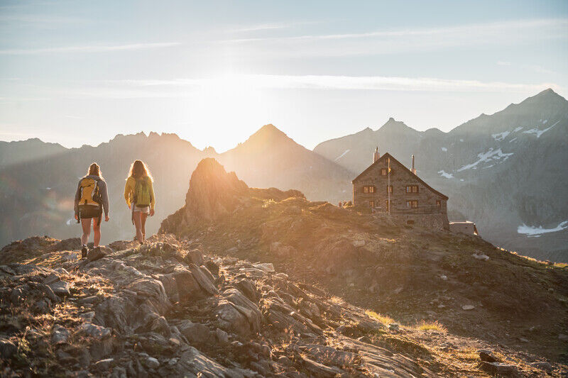
© Benedikt Schenker

- Brief description
-
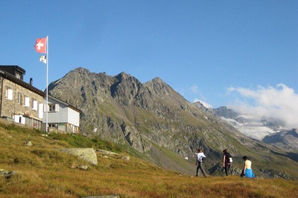
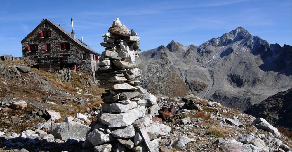
Im Sommer bietet das Gebiet diverse Wandermöglichkeiten im Urner Alpenkranz oder Überschreitungen zum mächtigen Furka- und Gotthardmassiv.
- Difficulty
-
medium
- Rating
-
- Route
-
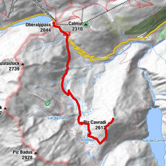
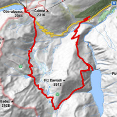
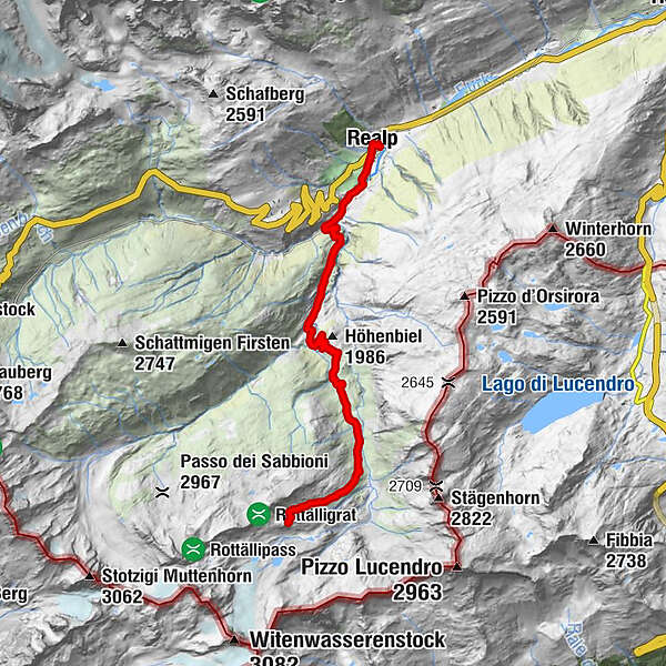
Realp (1,538 m)0.0 kmPfarrkirche Heilig Kreuz0.2 kmRealp (1,538 m)0.2 kmRealp DFB (1,538 m)0.5 kmWitenwasserntal1.5 kmSchweig3.1 kmRotondohütte (2,570 m)9.1 kmSchweig15.1 kmWitenwasserntal16.7 kmRealp DFB (1,538 m)17.6 kmPfarrkirche Heilig Kreuz18.1 kmRealp (1,538 m)18.1 kmRealp (1,538 m)18.2 km
- Best season
-
JanFebMarAprMayJunJulAugSepOctNovDec
- Highest point
- 2,564 m
- Endpoint
-
Bahnhof Realp
- Height profile
-
 © outdooractive.com
- Author
-
The tour Rotondohütte SAC is used by outdooractive.com provided.
GPS Downloads


General info
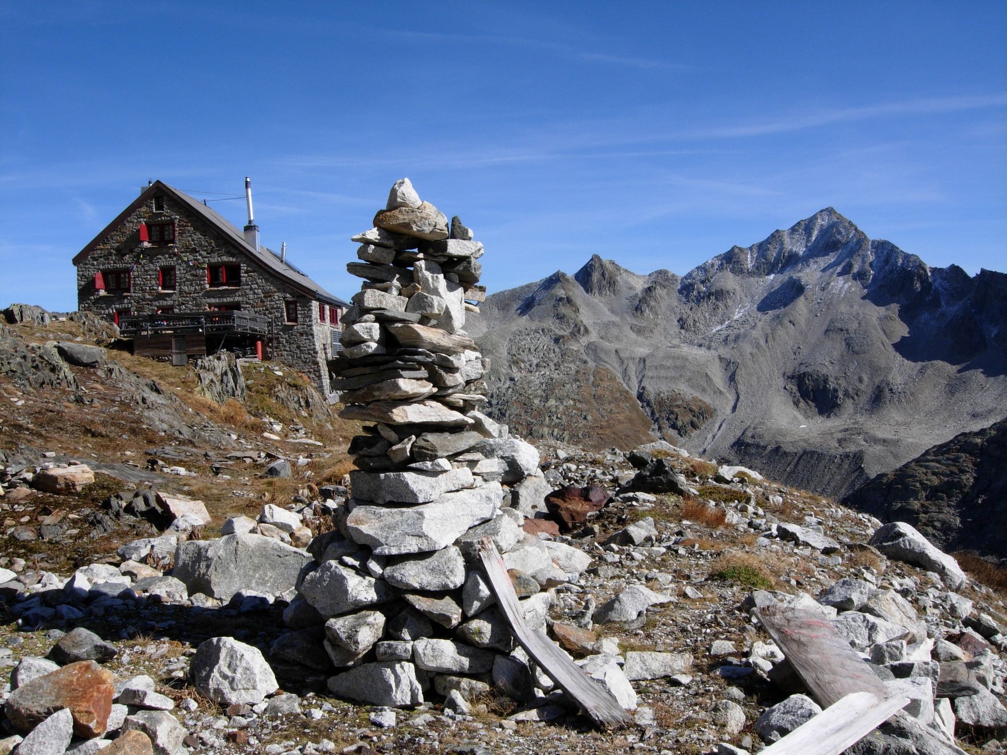
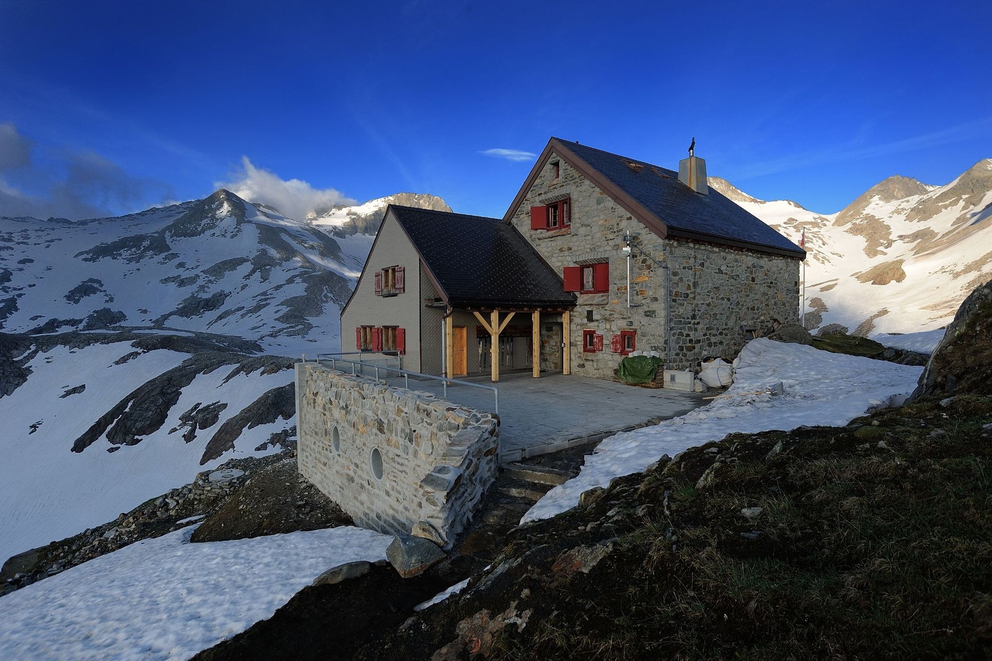
Refreshment stop
Flora
A lot of view