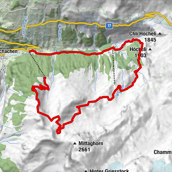
Tour data
13.27km
1,070
- 2,157m
582hm
1,084hm
03:19h
- Brief description
-
Höhentour im Schächental
- Difficulty
-
medium
- Rating
-
- Starting point
-
Bergstation Wannelen
- Route
-
Alpwirtschaft Wannelen0.1 kmWannelen0.1 kmOberalp6.9 kmLandfrauenstube Oberalp6.9 kmAlp Aesch10.4 kmGasthöfli Aesch10.5 kmObermattli13.1 kmRibi13.1 km
- Highest point
- 2,157 m
- Endpoint
-
Talstation Ribi
- Rest/Retreat
-
Alpbeizli Oberalp, Gasthöfli Äsch
GPS Downloads


Trail conditions
Asphalt
Gravel
Meadow
Forest
Rock
Exposed
Other tours in the regions
-
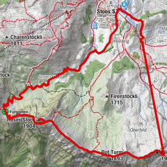
Uri
1548
-
Stoos-Muotatal
846
-
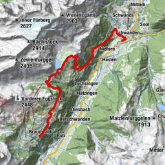
Unterschächen
132