© UNESCO Biosphäre Entlebuch - Christian Perret

© UNESCO Biosphäre Entlebuch - Christian Perret


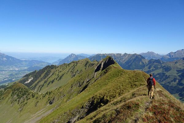
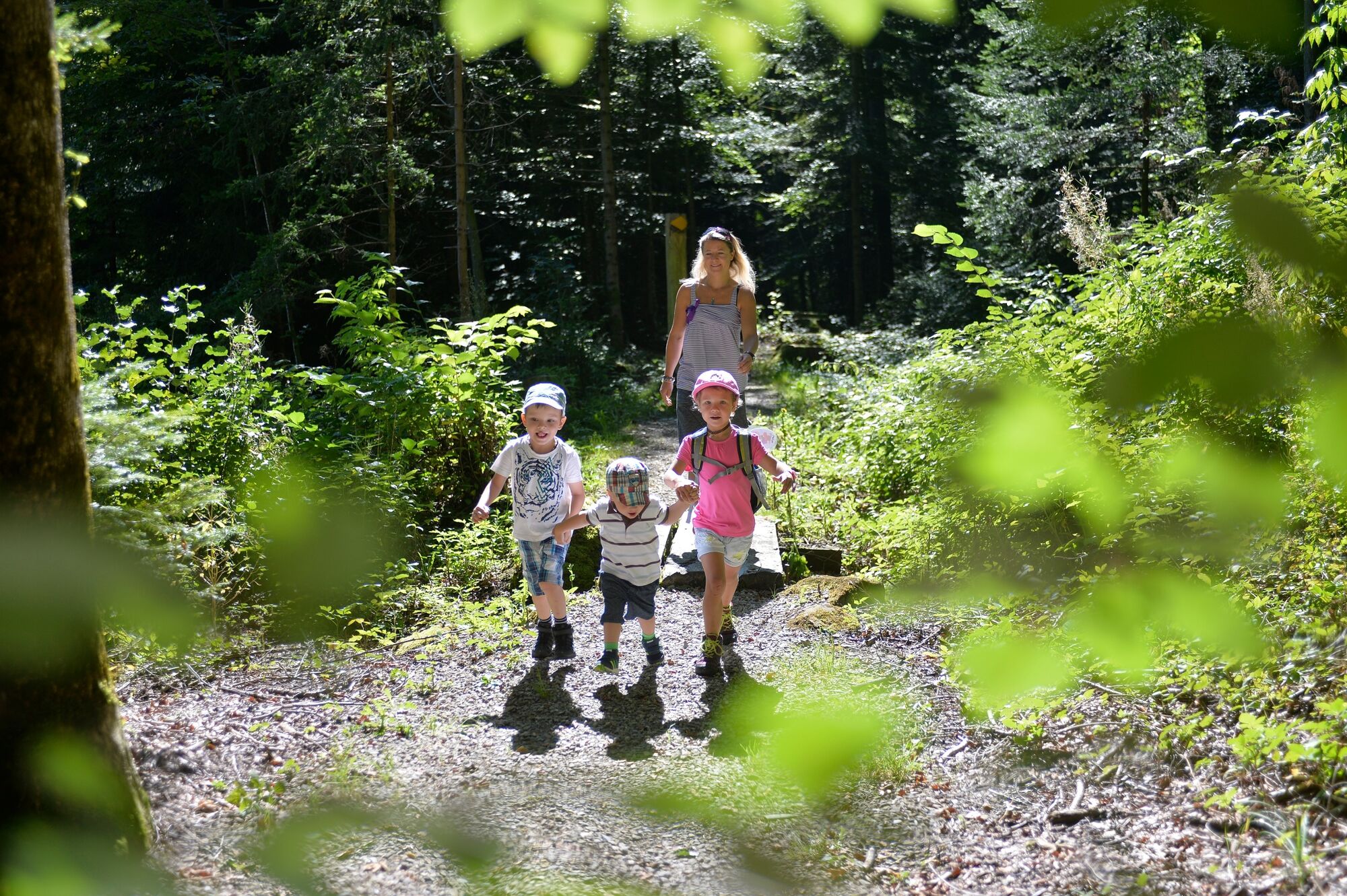
© UNESCO Biosphäre Entlebuch - Guido Küng

© UNESCO Biosphäre Entlebuch - Christian Perret
- Brief description
-
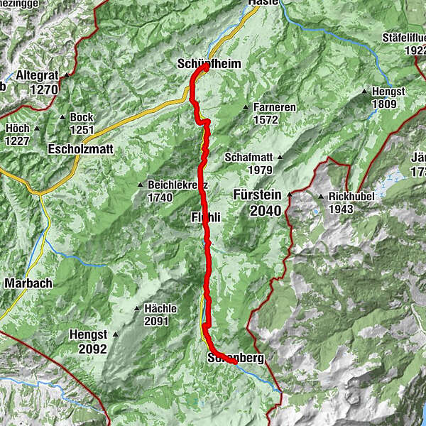
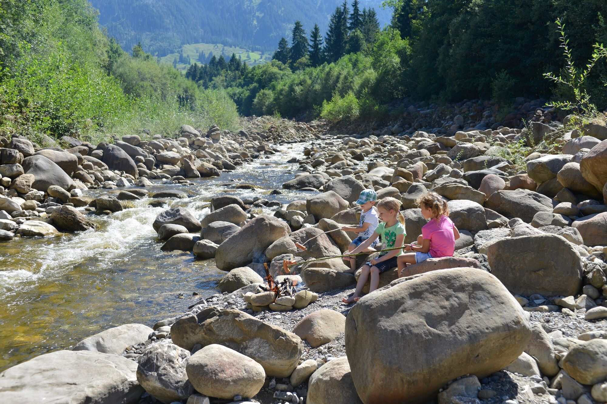
Die zweite Etappe des Emmenuferweges ist zugleich die wildeste. Von Sörenberg schlängelt sich der Wanderweg entlang von tiefen Schluchten und hohen Felswänden hinunter ins Entlebucher Haupttal nach Schüpfheim.
- Difficulty
-
medium
- Rating
-
- Starting point
-
Railwaystation Schuepfheim
- Route
-
Sörenberg0.0 kmAlpenrösli0.1 kmChäs Stübli Ochsenweid1.1 kmHüttlenen7.6 kmFlühli (882 m)8.7 kmKatholische Kirche St. Josef8.8 kmStutz8.9 kmSpierbergli9.9 kmStaufe13.3 kmSt. Niklaus14.0 kmChlusbode14.7 kmGasthaus Bad16.5 kmSchüpfheim (719 m)18.3 kmLe Bistro18.4 kmSchüpfheim (717 m)18.5 km
- Best season
-
JanFebMarAprMayJunJulAugSepOctNovDec
- Description
-
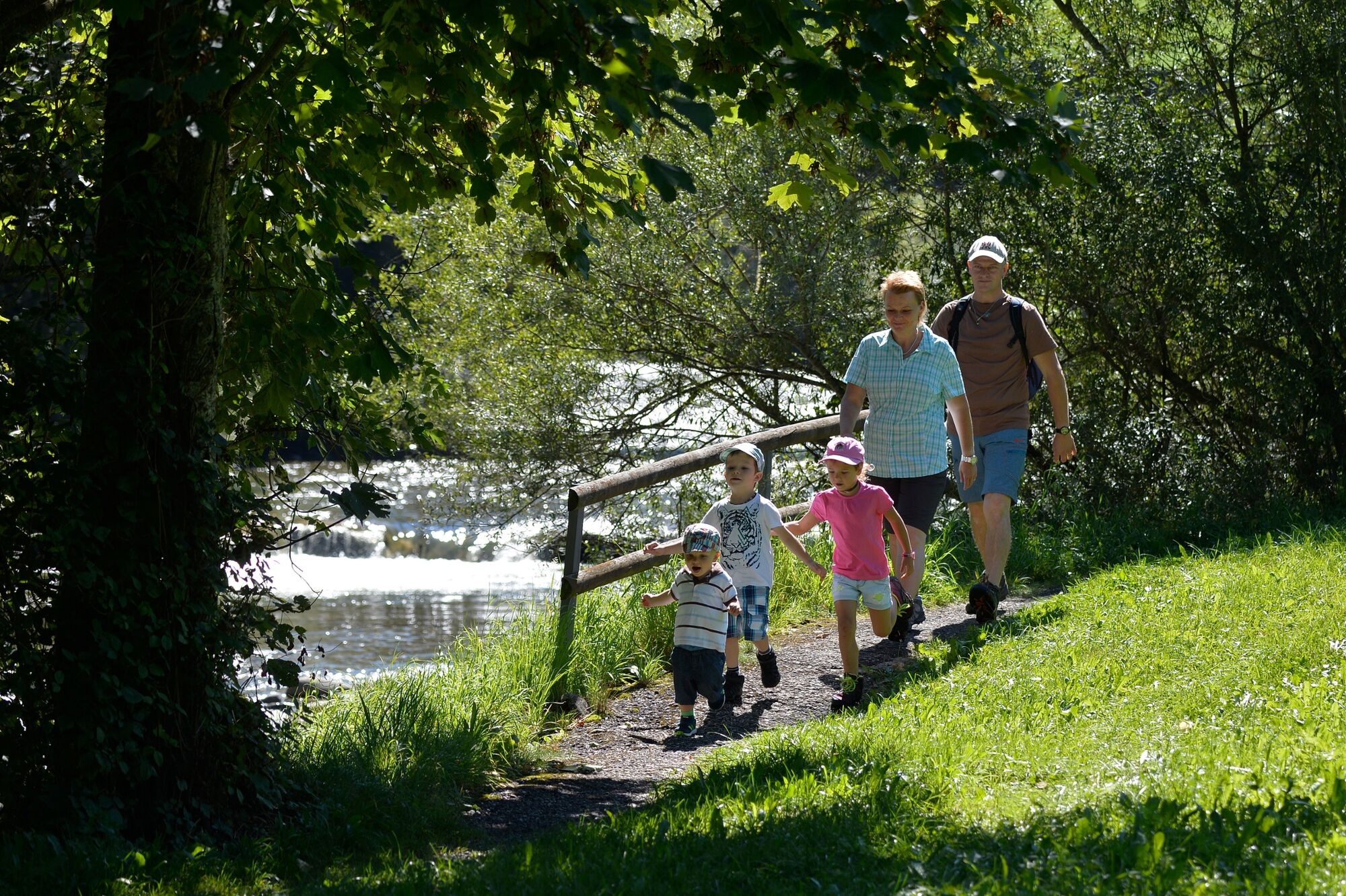
The Emmenuferweg taps a charming region of our canton. It leads along the Kleine Emme from Emmenbruecke until the wellspring behind Soerenberg. The fact, that the path leads to all railwaystations of the route Lucerne - Schuepfheim, acts also very simpatico. The Emmenuferweg offers a welcome possibility to walk all parts of the path separate. The whole Emmenuferweg is easy to go, only the part between Schuepfheim and Fluehli is a little bit demanding.
Schuepfheim - Soerenberg:
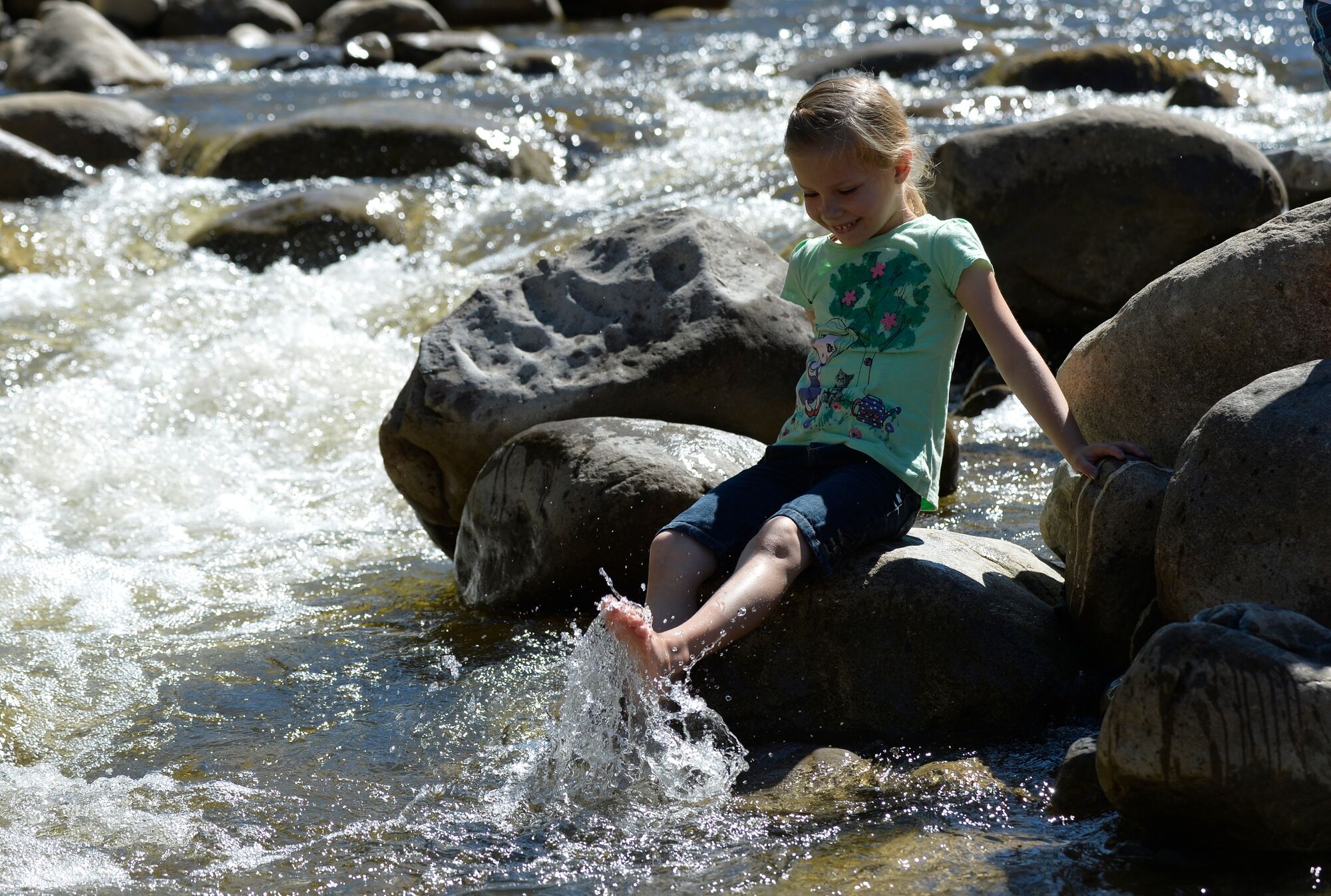
The last part of the Emmenuferweg, which shows again another and wild side of the Kleine Emme, leads through the wild romantic Lammschlucht until the spring of the Emme. On this part you have the possibility to experience closely the power of the water.
Note(s)
You can take the bus back to your starting point. Since the path is situated next to the bus route you can finish the tour whenever you like (bus timetable under www.postauto.ch).
The GPS-reception is eventually disturbed in the Lammschlucht.
See also
Further informations (Prospekt «Emmenuferweg»):
UNESCO Biosphäre Entlebuch
Biosphärenmanagement
Chlosterbüel 28
CH-6170 Schüpfheim
Telefon: 0041 (0)41 485 88 50
Mail: zentrum@biospaere.ch
page: www.biosphaere.ch - Highest point
- 1,150 m
- Endpoint
-
Schüpfheim Bahnhof
- Height profile
-
 © outdooractive.com
-

-
AuthorThe tour Emmenuferweg: Sörenberg-Schüpfheim is used by outdooractive.com provided.
GPS Downloads


General info
Refreshment stop
Other tours in the regions
-
Obwalden
2014
-
UNESCO Biosphäre Entlebuch
630
-
Flühli
179