© Wiege der Schweiz - Stefan Zürrer

© Wiege der Schweiz - Stefan Zürrer

© Wiege der Schweiz - Stefan Zürrer

© Wiege der Schweiz - Stefan Zürrer

© Wiege der Schweiz

© Wiege der Schweiz

- Brief description
-
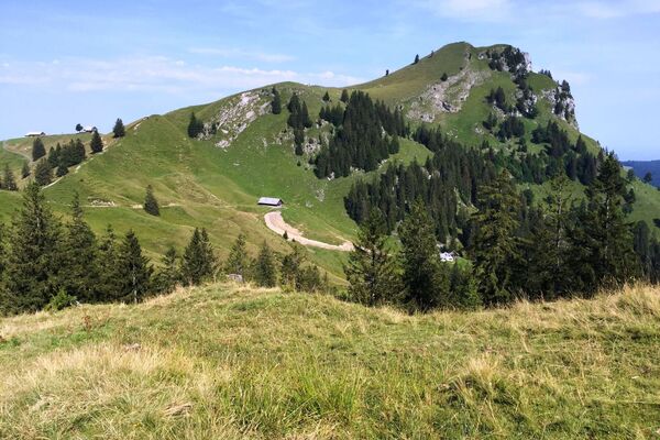
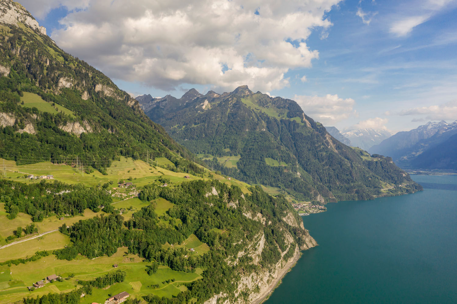
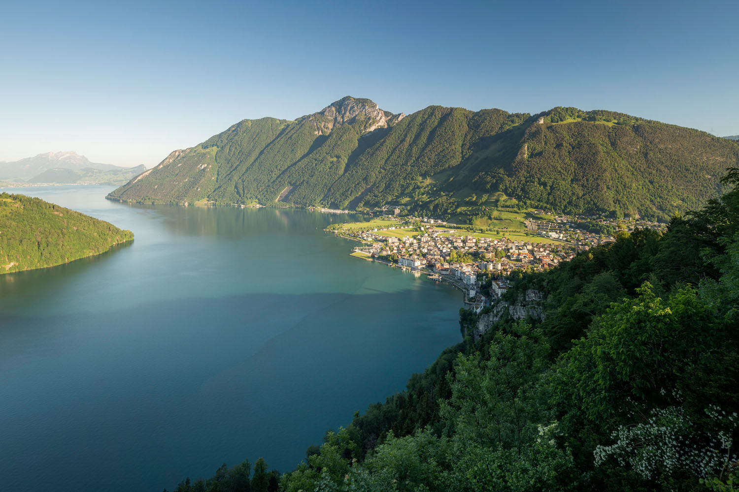
Steady climb through forest and open meadows to Morschach scenic plateau. The Rütli can be seen across the lake. Partly along former rack railway route to Axenstein-Känzeli with views to Mt Pilatus. Gentle descent through Ingenbohlerwald.
- Difficulty
-
medium
- Rating
-
- Route
-
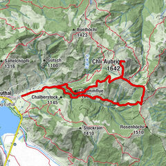
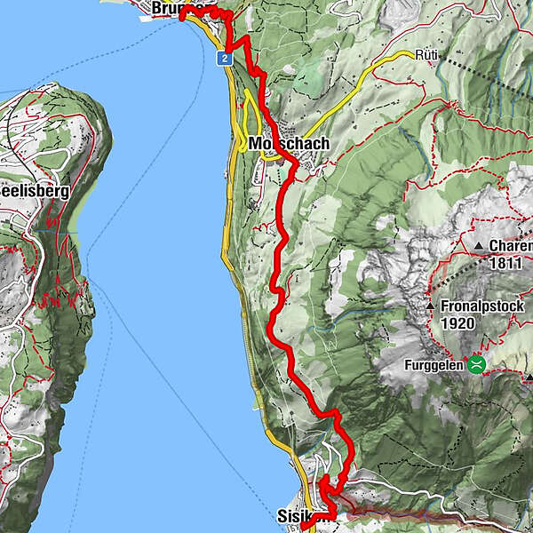
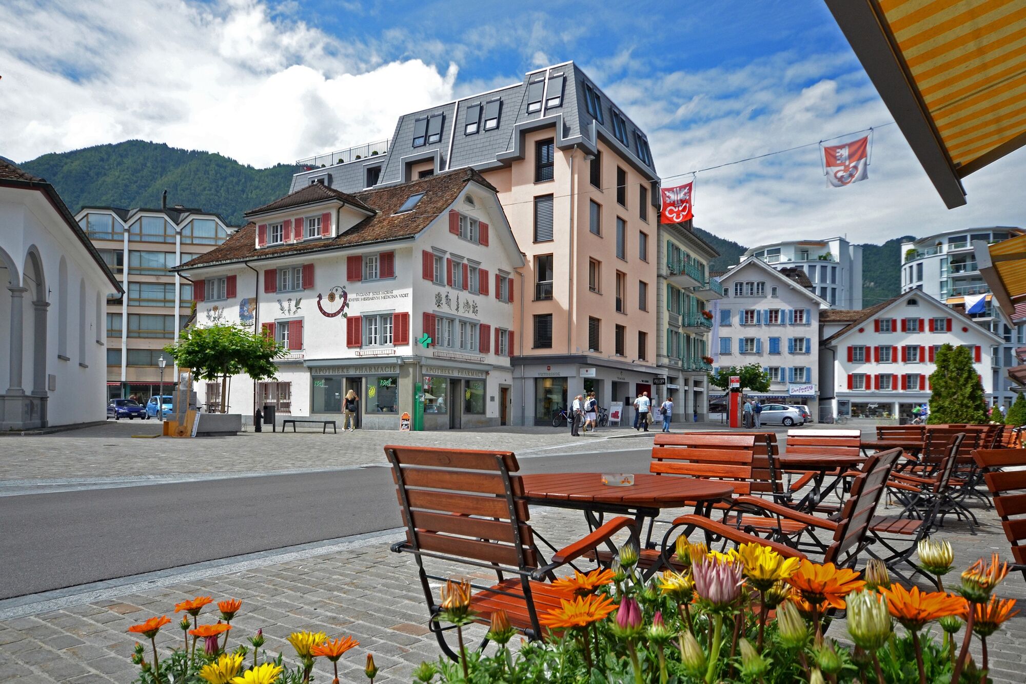
Sisikon (453 m)Hotel Restaurant Eden0.1 kmRistorante Pizzeria Laterne0.1 kmRied1.2 kmBinzenegg1.4 kmKapelle Franz-Xaverius4.5 kmMorschach5.3 kmAxenstein6.0 kmChänzeli7.1 kmNothelferkapelle8.1 kmBundeskapelle8.2 kmBrunnen8.2 kmLandungssteg SGV Brunnen8.3 km
- Best season
-
JanFebMarAprMayJunJulAugSepOctNovDec
- Highest point
- 820 m
- Endpoint
-
Brunnen
- Height profile
-
 © outdooractive.com
 - Additional information
-
The Swiss Path was founded with a forward-looking vision: it is intended to represent an example of nature conservation, whilst remaining a simple place of encounter. To this day, its main features remain the mountains, the lake and the glorious views. www.weg-der-schweiz.ch
The Swiss Path leads you through the homeland of William Tell. En route, you will spot traces of the past and encounter mythical heroes. You can engage with different images of Switzerland and rediscover the country for yourself. www.wiegederschweiz.ch

- Author
-
The tour The Swiss Path – Section 4: Sisikon - Brunnen is used by outdooractive.com provided.
GPS Downloads


General info
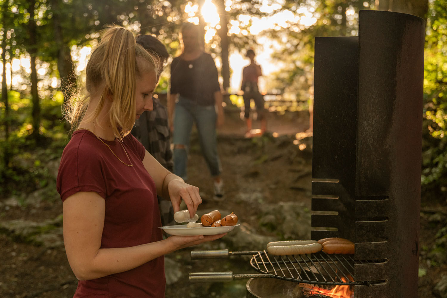
Refreshment stop
Cultural/Historical
A lot of view
Other tours in the regions
-
Schwyz
1748
-
Mythenregion
899
-
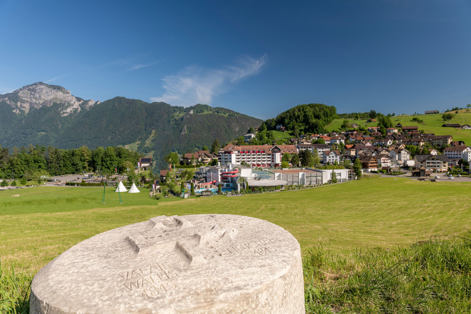
Morschach
427