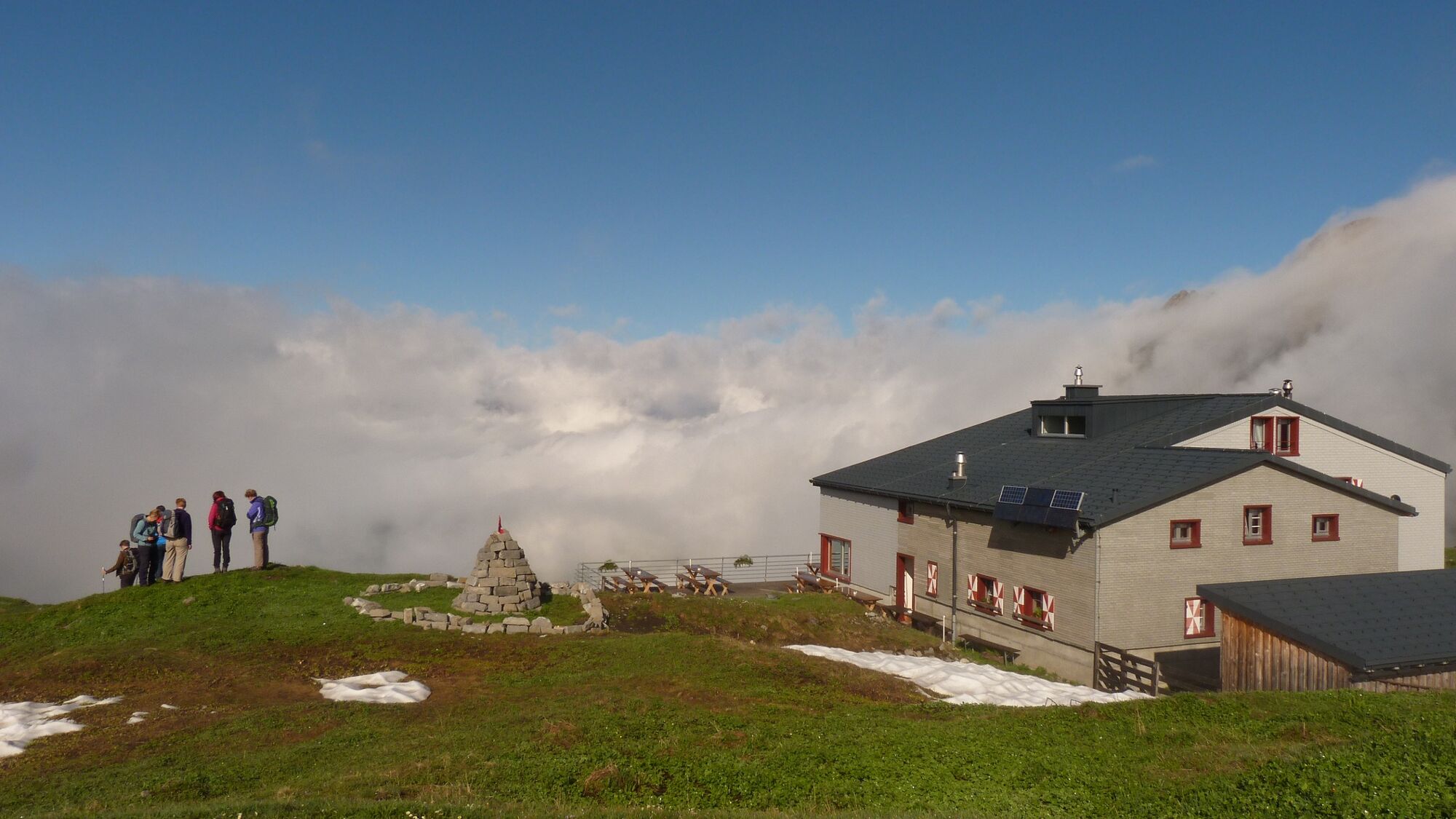
© Nidwalden Tourismus - Brunni-Bahnen Engelberg AG

- Difficulty
-
medium
- Rating
-
- Starting point
-
Ristis
- Route
-
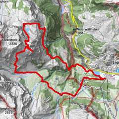
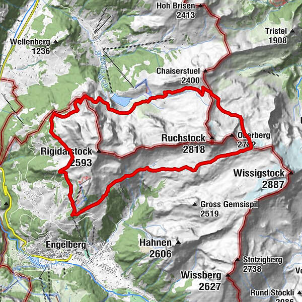
RistisBergrestaurant Ristis0.0 kmÄlplerbeizli Rigidalstafel1.6 kmPlanggenstafel (1,964 m)3.9 kmRugghubelhütte SAC5.5 kmRugghubel (2,296 m)5.6 kmRot Grätli (2,559 m)7.9 kmStation Räckholteren12.6 kmBerggasthaus Urnerstafel13.5 kmStation Urnerstafel13.6 kmOberfeld15.6 kmWalegg (1,943 m)16.7 kmWalenalp18.7 kmTalstation Hüttismatt22.5 kmBergrestaurant Ristis23.3 kmRistis23.3 km
- Best season
-
JanFebMarAprMayJunJulAugSepOctNovDec
- Description
-
On the official mountain running course, the route leads up to the Rugghubel Hut and on to Rotgrätli. On stony ground, over alpine meadows you cross the Bannalper-Schonegg and have a beautiful view of the Bannalp lake. Along the southern shore up to Walegg, from where a breathtaking view over the lower Engelberg valley awaits you. Via Walenalp one returns to the valley basin of Engelberg.
- Directions
-
Rugghubel, Rotgrätli, Bannalper-Schonegg, Urnerstafel, Walegg, Risits
- Highest point
- 2,551 m
- Endpoint
-
Walegg
- Height profile
-
 © outdooractive.com
 - Tips
-
The Tuifelsstei restaurant, the Bannalp lake and Walegg
- Additional information
-

-
AuthorThe tour Walenstock Loop is used by outdooractive.com provided.
GPS Downloads


Other tours in the regions