
- Brief description
-
Iron trail
- Difficulty
-
medium
- Rating
-
- Route
-
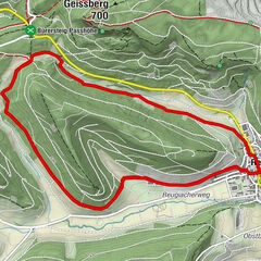
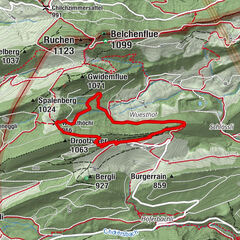
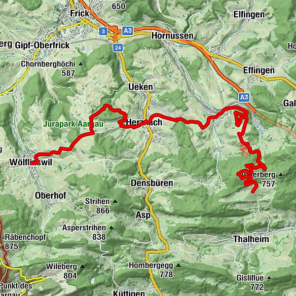
Zeiher Homberg (782 m)1.6 kmSigenacher4.3 kmLütihuse4.6 kmChümmler4.7 kmFondel4.7 kmChripfen5.0 kmEichwald5.3 kmRütene5.6 kmStygli7.3 kmStation Effingen7.4 kmZeihen (441 m)8.5 kmLöwen11.8 kmHerznach (417 m)11.9 kmKornberg15.0 kmHumpel18.2 kmLandgasthof Ochsen18.4 kmWölflinswil (437 m)18.4 km
- Description
-
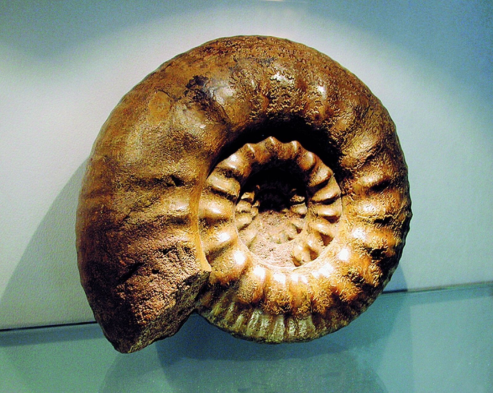
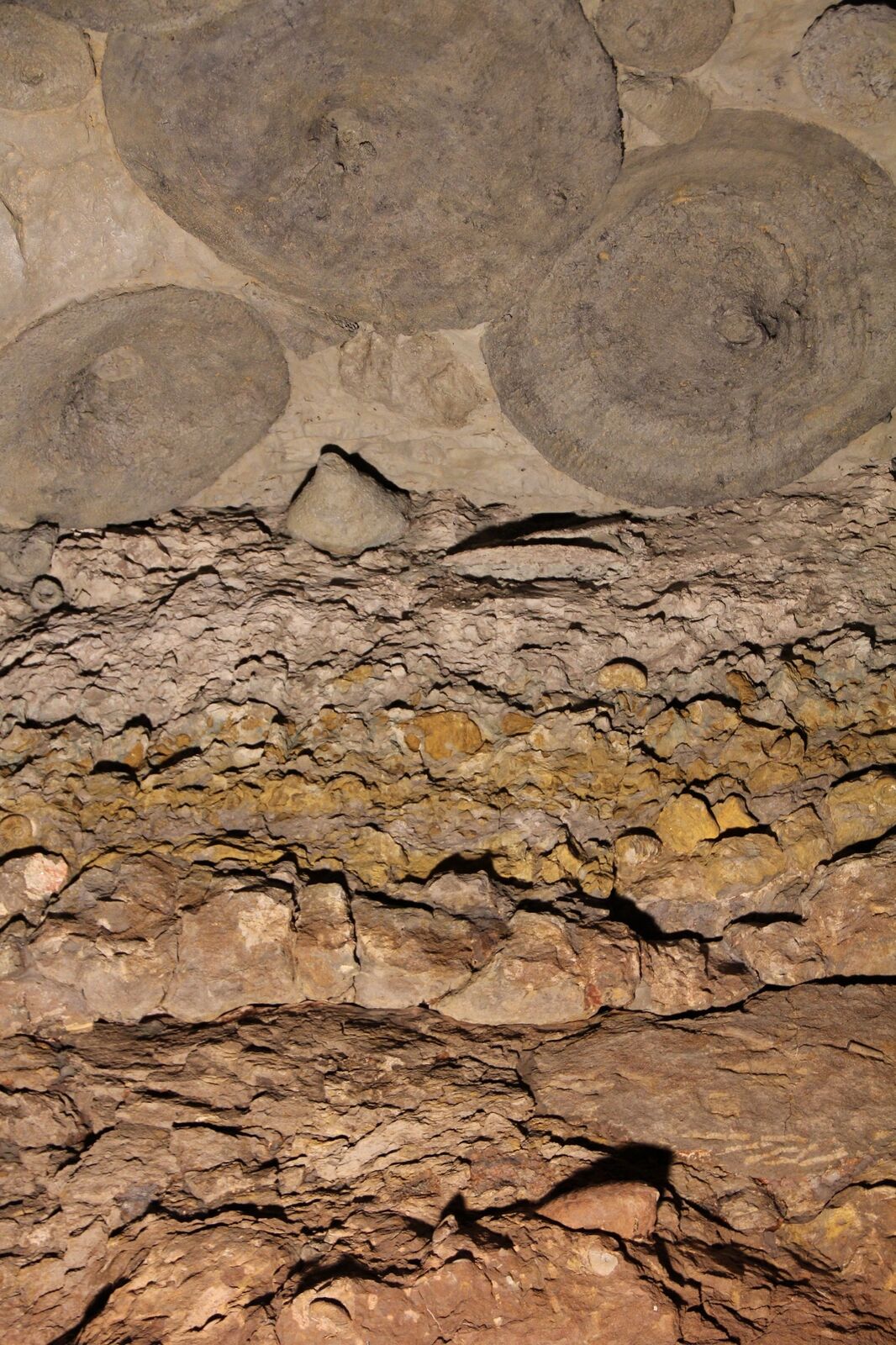
For hundreds of years iron ore was quarried between Herznach and Wölflinswil. Follow the tracks of the miners. But not only iron lay beneath the surface of the picturesque Jura landscape. There are also numerous fossils along the iron trail.
- Directions
-
The complete Iron Trail is 14 km long. The stages go from Wölflinswil to Herznach, from Herznach to Zeihen and from Zeihen up to the Homberg. The path is easy for walking and the trail between Wölflinswil and Zeihen is suitable for prams and pushchairs.
- Highest point
- 777 m
- Endpoint
-
Chillholz, möglicher Anschluss an Jurahöhenweg
- Height profile
-
 © outdooractive.com
- Author
-
The tour Iron trail is used by outdooractive.com provided.
GPS Downloads


Other tours in the regions
-
Kanton Aargau
1491
-
Fricktal
853
-
Zeihen
260