
- Brief description
-
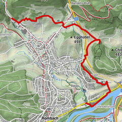
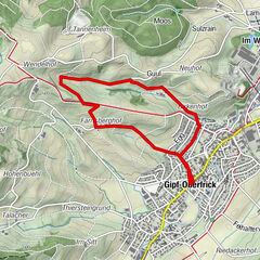
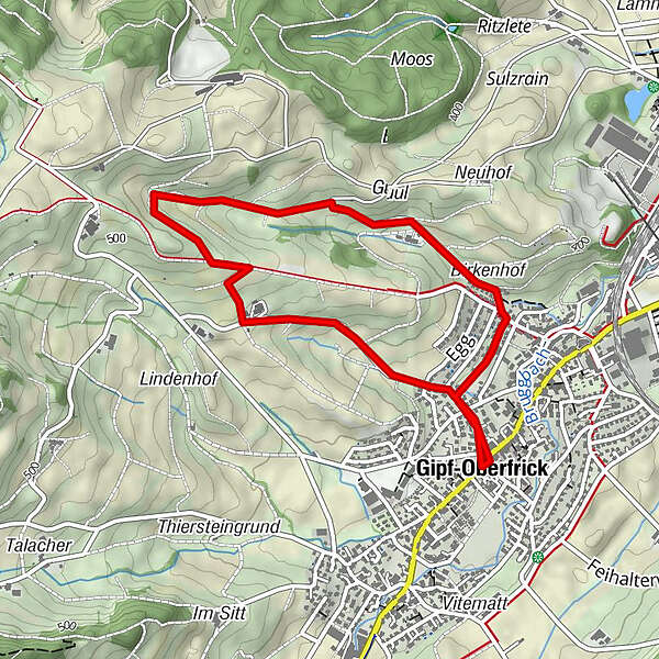
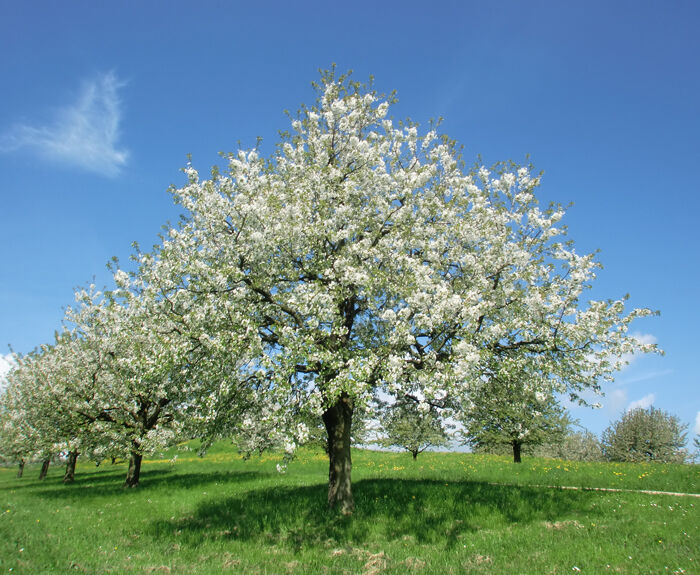
Chriesiwäg, Gipf-Oberfrick
- Difficulty
-
easy
- Rating
-
- Route
-
Gipf-Oberfrick (368 m)Gipf-Oberfrick (368 m)4.2 km
- Description
-
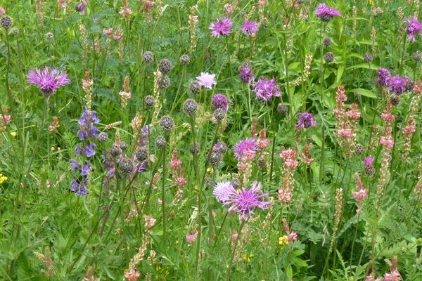
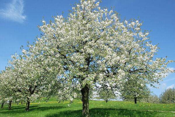
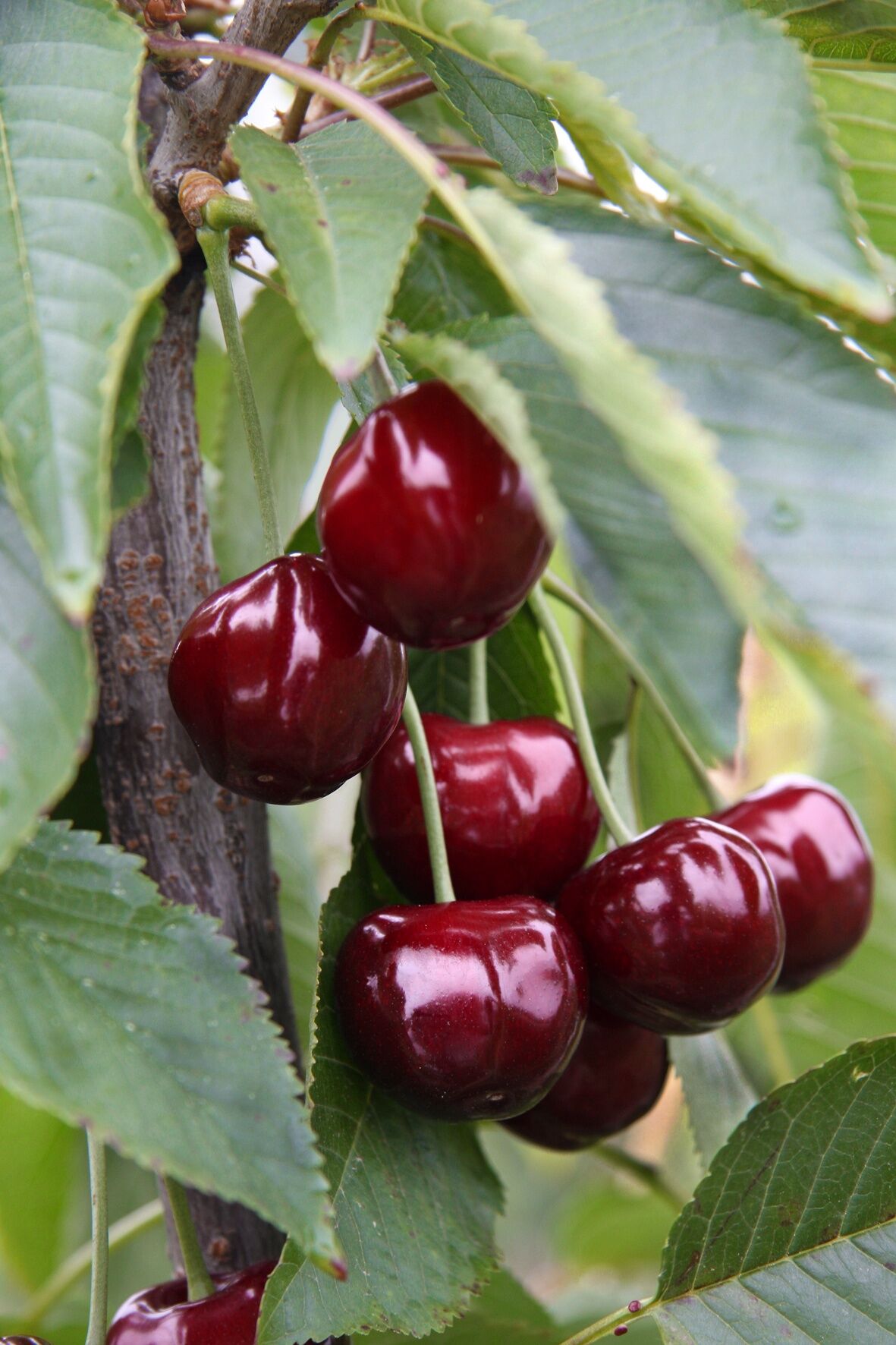
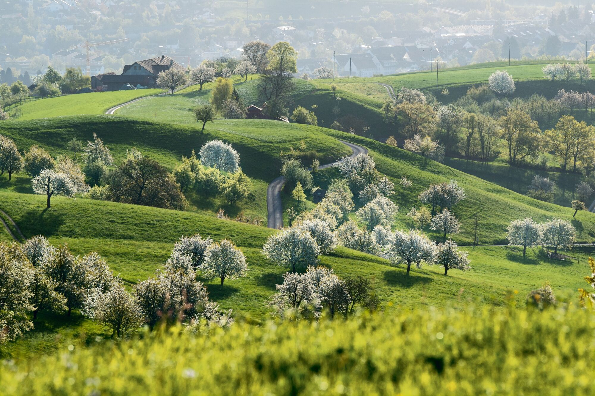
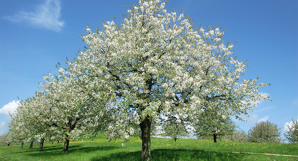
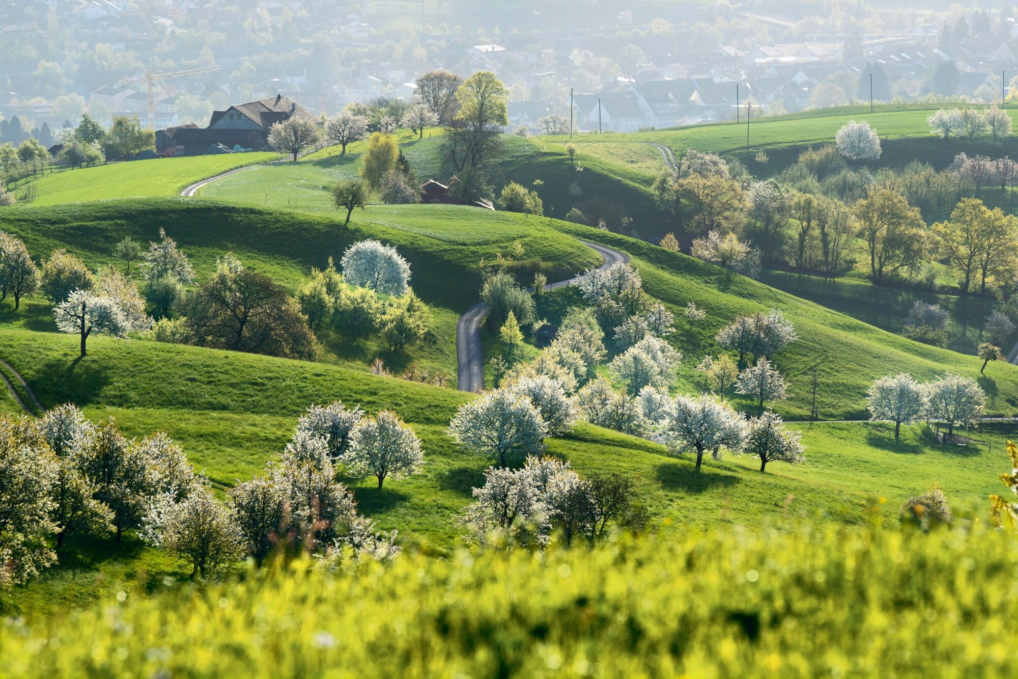
The five kilometre "Chriesiwäg" (cherry trail) goes through the beautiful landscape of the Frick valley and provides interesting information about cherry-growing.
- Highest point
- 491 m
- Endpoint
-
Gipf-Oberfrick, Gemeindehaus
- Height profile
-
 © outdooractive.com
- Author
-
The tour Chriesiwäg is used by outdooractive.com provided.
GPS Downloads


Other tours in the regions
-
Kanton Aargau
1492
-
Fricktal
854
-
Gipf-Oberfrick
256