
- Brief description
-
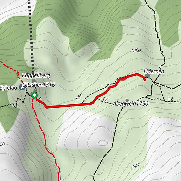
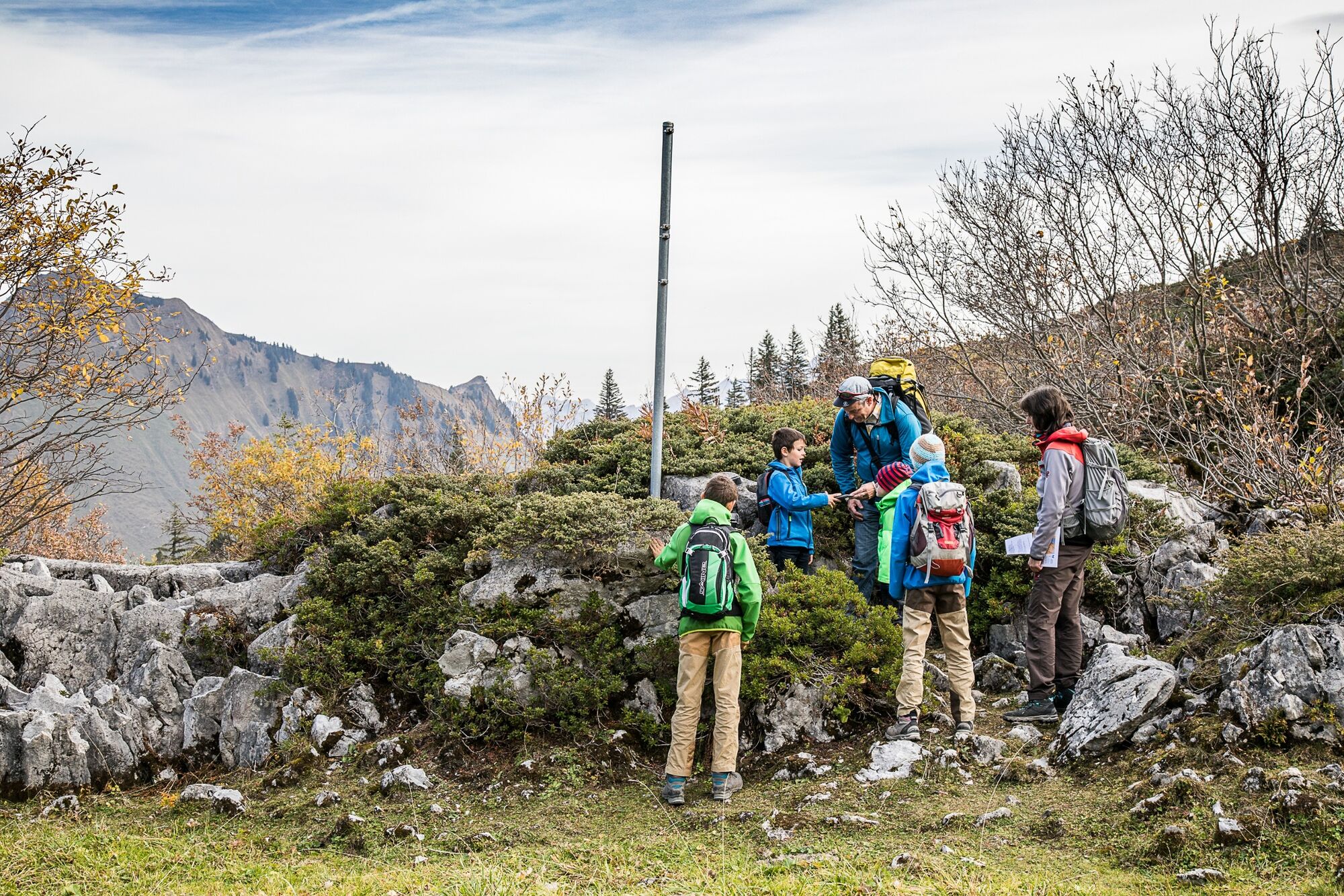
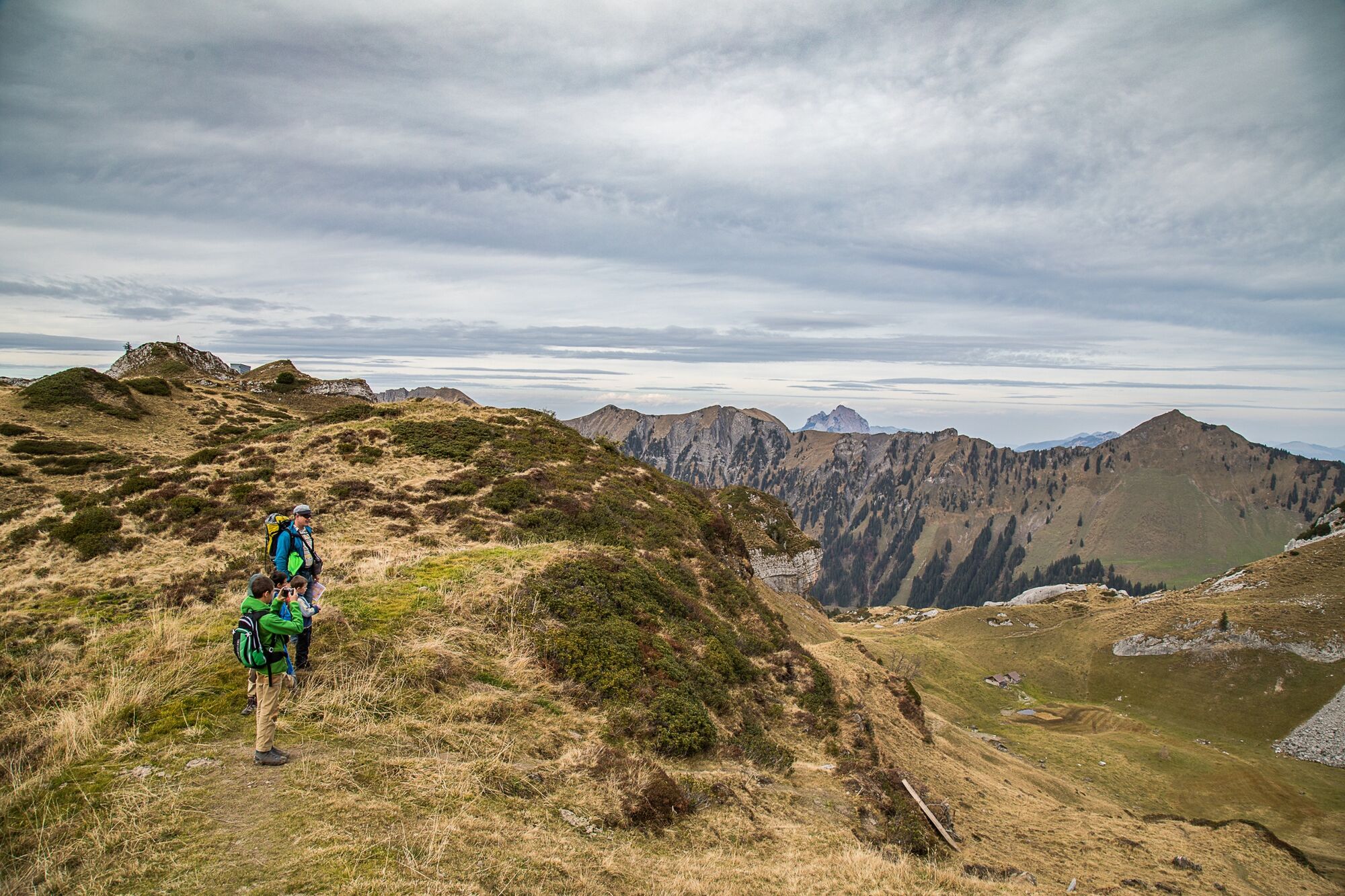
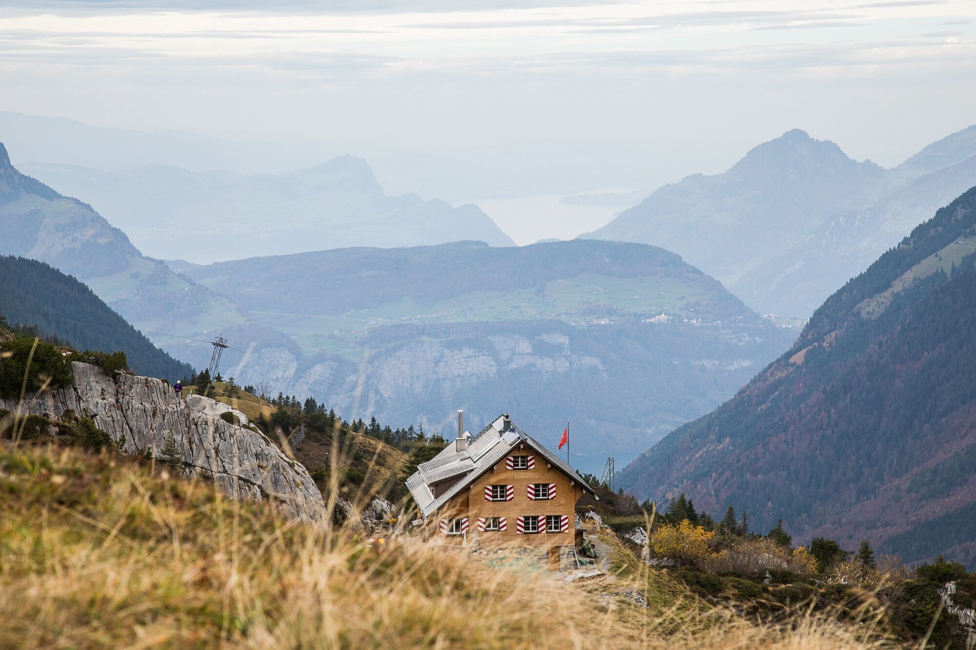
Wer hat da bei der Lidernenhütte seinen Pfotenabdruck hinterlassen? Zusammen mit dem WWF-Panda und einer OL-Karte machen sich die Kinder auf die Suche und lernen viel über die Alpentiere.
- Difficulty
-
easy
- Rating
-
- Route
-
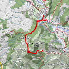
Lidernen0.0 kmLidernenhütte SAC0.0 kmGitschen (1,716 m)0.4 km
- Best season
-
JanFebMarAprMayJunJulAugSepOctNovDec
- Highest point
- 1,723 m
- Endpoint
-
Lidernenhütte
- Height profile
-
 © outdooractive.com

- Author
-
The tour Fährtensuche mit dem Panda is used by outdooractive.com provided.
GPS Downloads


General info
Refreshment stop
Flora
Fauna
A lot of view
Other tours in the regions
-
Schwyz
1748
-
Mythenregion
899
-
Biel-Kinzig / Bürglen
198