- Brief description
-
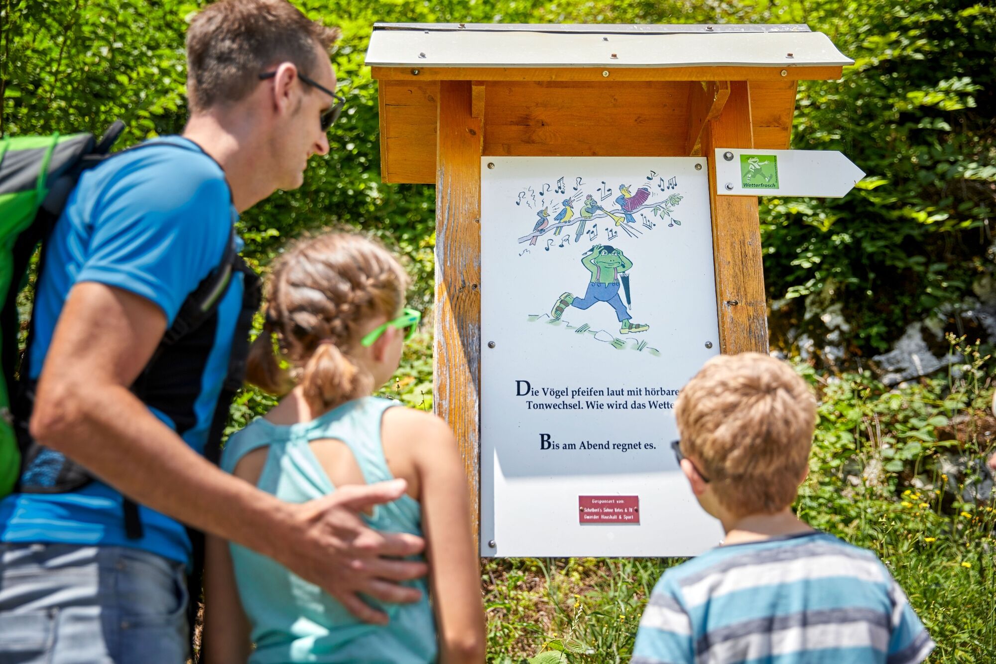
The Weatherman Walk features info-panels that explain how observing the weather helps establish forecasting guidelines.
- Difficulty
-
easy
- Rating
-
- Starting point
-
Muota school
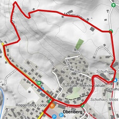
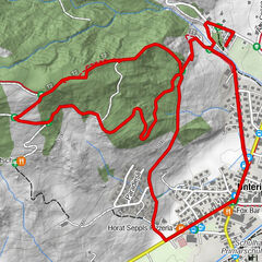
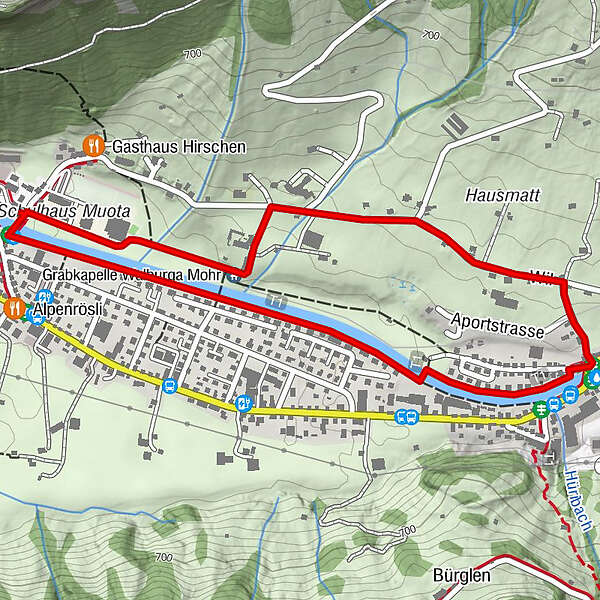
- Route
-
Grabkapelle Walburga Mohr0.5 kmMuotathal2.2 km
- Best season
-
JanFebMarAprMayJunJulAugSepOctNovDec
- Description
-
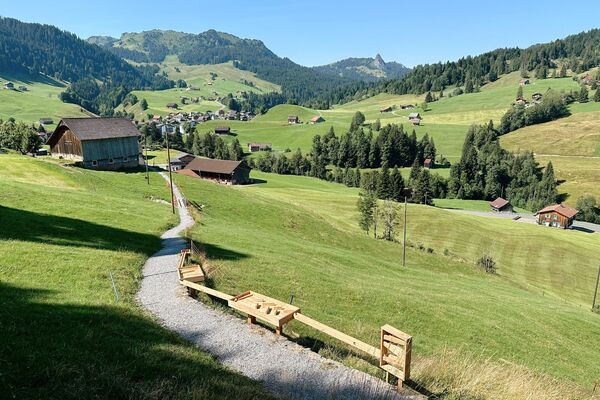
Enjoy the unique Weatherman Trail hiking trail in Switzerland!
At a number of points along the way, you're shown how the Muota valley's famous meteorologists observe nature and forecast the weather six months ahead.
The walk is about enjoyment, observing nature and returning home richer for a wonderful experience.
- Directions
-
Muota school - convent - nursing home - Aport/Schwert - Hintere Brücke - Tschalun - Gampelisteg - dam - Kirchenbrücke - Muota school
- Highest point
- 647 m
- Endpoint
-
Muota school
- Height profile
-
 © outdooractive.com
 - Equipment
-
Hiking shoes with good tread or trekking shoes, rain jacket, drink, food, possibly poles.
- Safety instructions
-
The path is pushchair friendly.
- Additional information
-
Free brochures with information about the Witzwanderweg are available at the Stoos cable car stations.
- Directions
-
Leave the motorway by the Schwyz exit and follow the signs for "Muotathal".
- Public transportation
-
Train to Schwyz then bus no. 501 to "Muota, Post".
Then a short walk to Muota school.
- Parking
-
Large free car park at Muota school.

- Author
-
The tour Weatherman Walk short is used by outdooractive.com provided.


General info
-
Schwyz
1748
-
Stoos-Muotatal
846
-
Muotathal
259