- Brief description
-
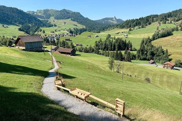
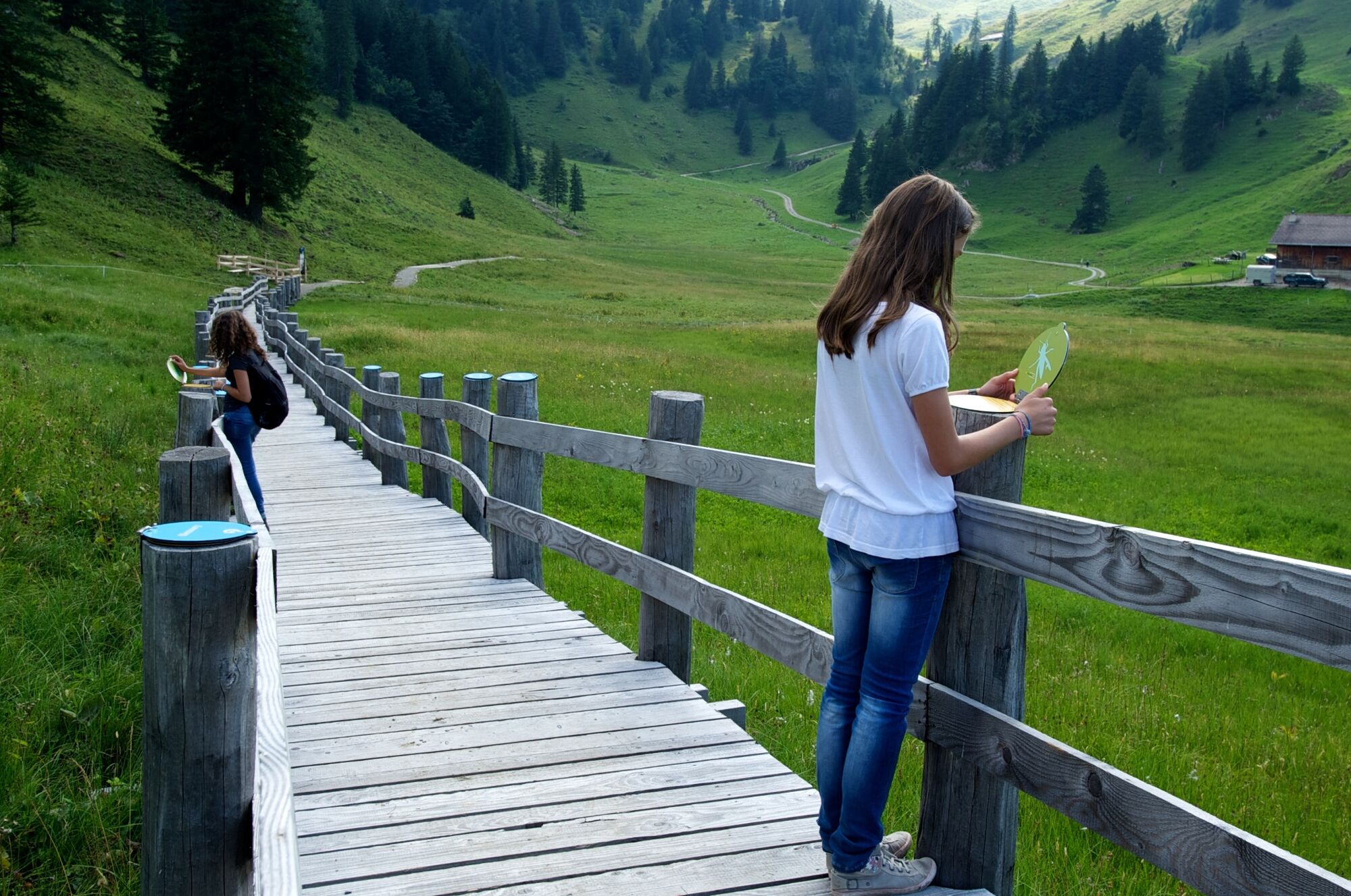
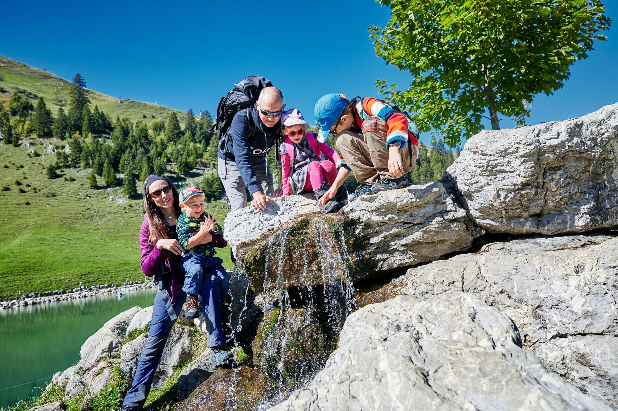
The installations on the Moor trail make the Moor Teufböni an eventful highlight in the mountain landscape. The playful path provides extensive information about the moor.
- Difficulty
-
easy
- Rating
-
- Starting point
-
200m after the valley station of the Sternegg ski lift
- Route
-
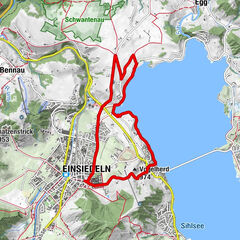
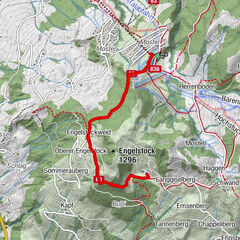
Stoos SZ (1,305 m)1.4 km
- Best season
-
JanFebMarAprMayJunJulAugSepOctNovDec
- Description
-
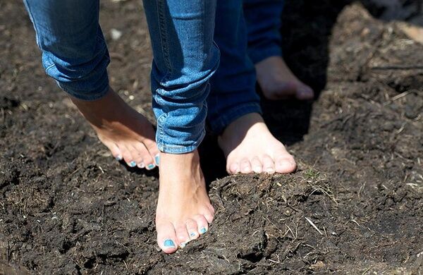
Do you already know everything about the moor? You can test your knowledge and climbing ability at the Moorleiterlispiel! How does the moor feel? Run barefoot through the moor bath! Do you know which animals live in the moor? Learn more about the fauna at Memory. On the large boards of the Moor Experience Trail you will find 8 Moorse signs which can be scratched freely on the collection card in the brochure. For children and adults who enjoy collecting, there is a little surprise at the top station of the Morschach-Stoos aerial cableway when you hand in your full Moorsezeichen collection card. The brochure Moorerlebnis Stoos is available at the Moorweg and at the mountain railway stations.
The installations on the Moorweg are in operation from the beginning of May to the end of October.
- Directions
-
From the top station of the funicular railway you walk in the direction of Sternegg to the beginning of the Moorerlebnisweg. From there, the whole way via Teufböni to Stoos-Seeli is signposted.
From Stoos-Seeli you walk back to the starting point.
- Highest point
- 1,343 m
- Endpoint
-
200m after the valley station of the Sternegg ski lift
- Height profile
-
 © outdooractive.com
 - Equipment
-
Good running shoes, rain jacket, drink & food.
- Tips
-
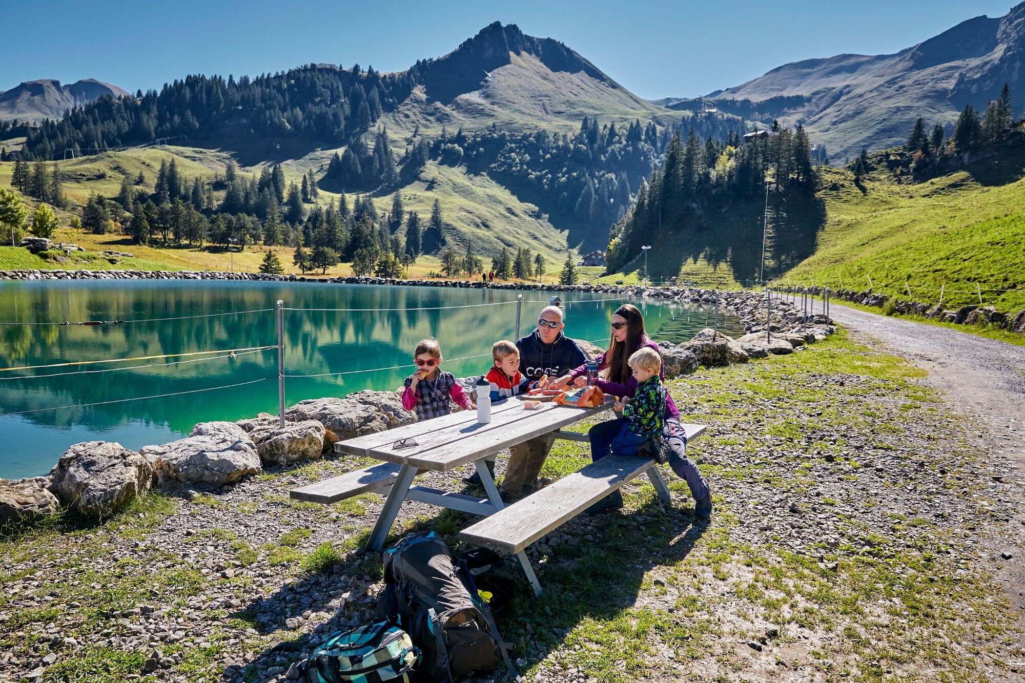
Little Stoos lake and surrounding
- Additional information
- Directions
-
By car on the A4 to the Schwyz exit, then in the direction of Muotathal to the valley station of the large Schwyz-Stoos funicular or by car turn onto Morschacherstrasse (at Wolfsprung), then follow the signs to Morschach and continue to the valley station of the small Morschach-Stoos aerial cableway.
- Public transportation
-
By train to Schwyz-Seewen station, then by bus to the valley station of the large Schwyz-Stoos cable car (line 501 Schwyz - Muotathal) or by train to SBB Brunnen station, then by bus to the valley station of the small Morschach-Stoos cable car.
- Parking
-
Parking is available at the valley station of the Schwyz-Stoos funicular and the Morschach-Stoos aerial cableway.


- Author
-
The tour The Moor trail is used by outdooractive.com provided.


General info
-
Schwyz
1748
-
Mythenregion
899
-
Stoos
340