- Difficulty
-
easy
- Rating
-
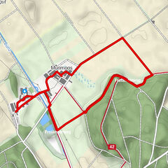
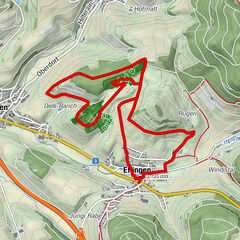
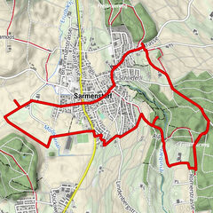
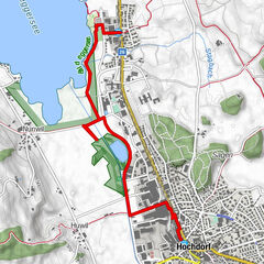
- Route
-
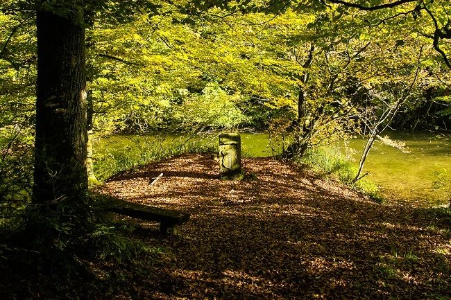
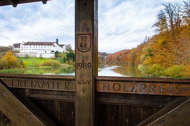
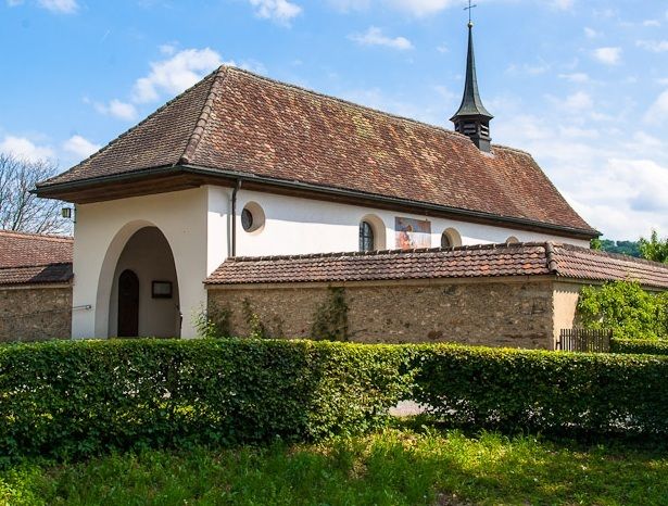
Bremgarten (386 m)2.7 kmEinsiedelei St. Antonius zu Emaus3.8 km
- Highest point
- 400 m
- Height profile
-
 © outdooractive.com

- Author
-
The tour Waldlehrpfad Emauswald is used by outdooractive.com provided.
GPS Downloads


General info
Refreshment stop
Other tours in the regions
-
Kanton Aargau
1492
-
Freiamt
548
-
Bremgarten
145