
- Brief description
-
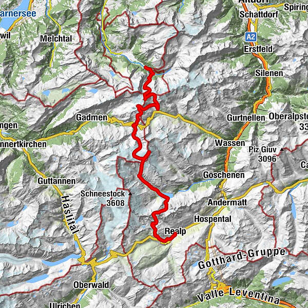
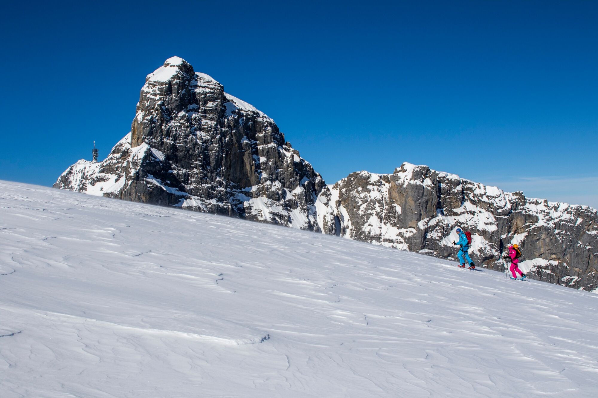
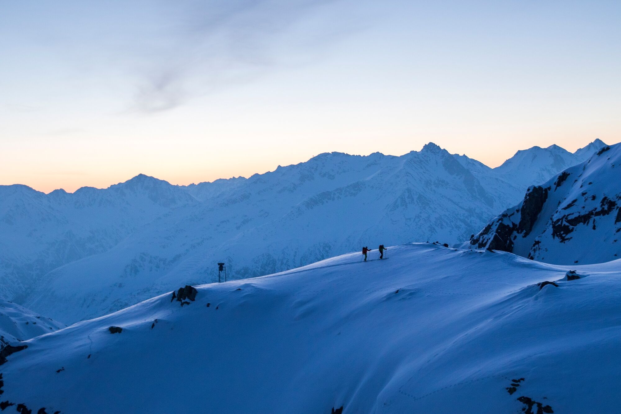
Urner Haute Route, with its many historical associations crosses a particularly desolate stretch of land between Andermatt and Engelberg.
- Starting point
-
Andermatt
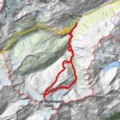
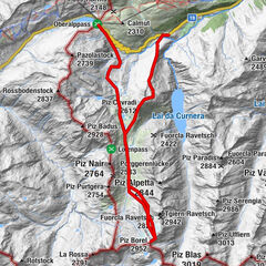
- Route
-
Realp (1,538 m)Pfarrkirche Heilig Kreuz0.0 kmTalstation Skilift Realp0.1 kmAlbert-Heim-Hütte SAC5.6 kmLochberg (3,079 m)8.6 kmKehlenalptal15.1 kmChelenalphütte (2,350 m)17.5 kmSustenhorn (3,503 m)21.0 kmSteingletscher29.2 kmFünffingerstöck (2,994 m)32.6 kmUratstock (2,911 m)33.0 kmSustlihütte SAC (2,257 m)36.4 kmStössensattel38.8 kmGrassen (2,946 m)40.3 kmTalstation Herrenrüti45.6 kmTalstation Herrenrüti45.8 km
- Description
-
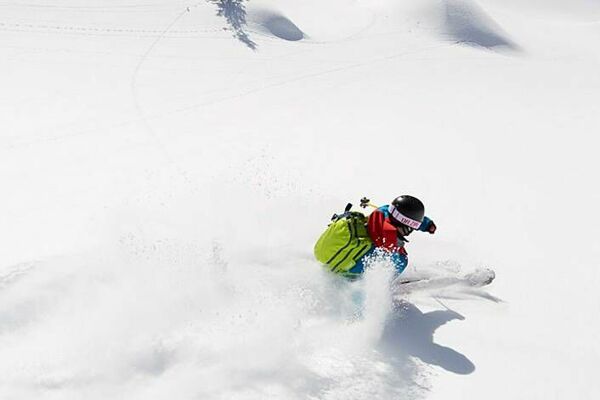
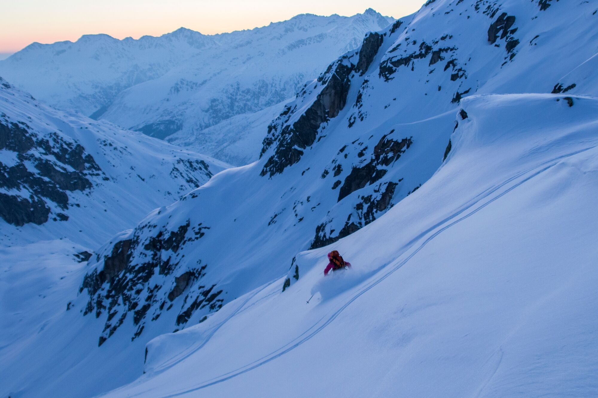
A touch of adventure is in the air as you make your way along the impressive stages from hut to hut. Summit tours from Gemsstock to Lochberg, Sustenhorn (3,503 m), Uratstock and Grassen (2,946 m) ending with a dream descent to Engelberg.
This impressive route through the Central Swiss Alps was once one of the major Alpine crossings. The ascent and descent totals approximately 5,500 altitude metres and can be covered in four to five days.
- Highest point
- 3,466 m
- Endpoint
-
Engelberg
- Height profile
-
 © outdooractive.com
 - Equipment
-
The equipment can be rented in the sports shops of Engelberg.
- Safety instructions
-
As the route is not signposted, we strongly recommend that you are accompanied by a mountain guide.
Safety tips for off-piste skiing
Please note that you are travelling at your own risk. A ski tour must be carefully planned. Appropriate equipment (avalanche transceiver, probe, shovel, airbag) and clothing are essential safety factors. The local ski and mountain guides will take you safely to your destination and back home. Emergency call REGA telephone number 1414 - Additional information
-

-
AuthorThe tour Urner Haute Route is used by outdooractive.com provided.


-
Uri
85
-
Engelberg Titlis
25
-
Gadmen
5