- Brief description
-
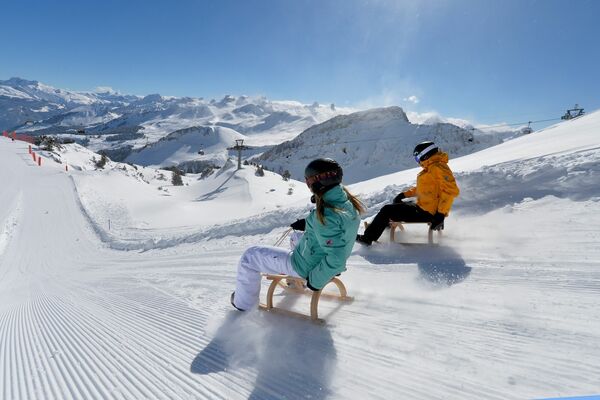
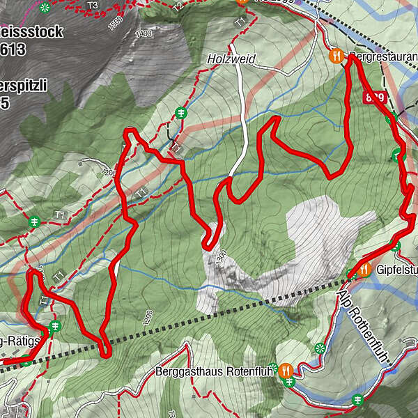
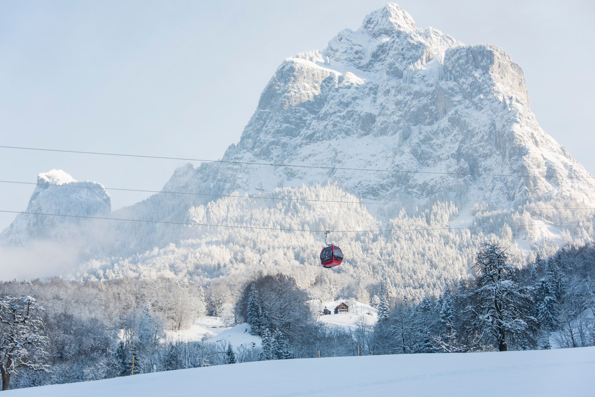
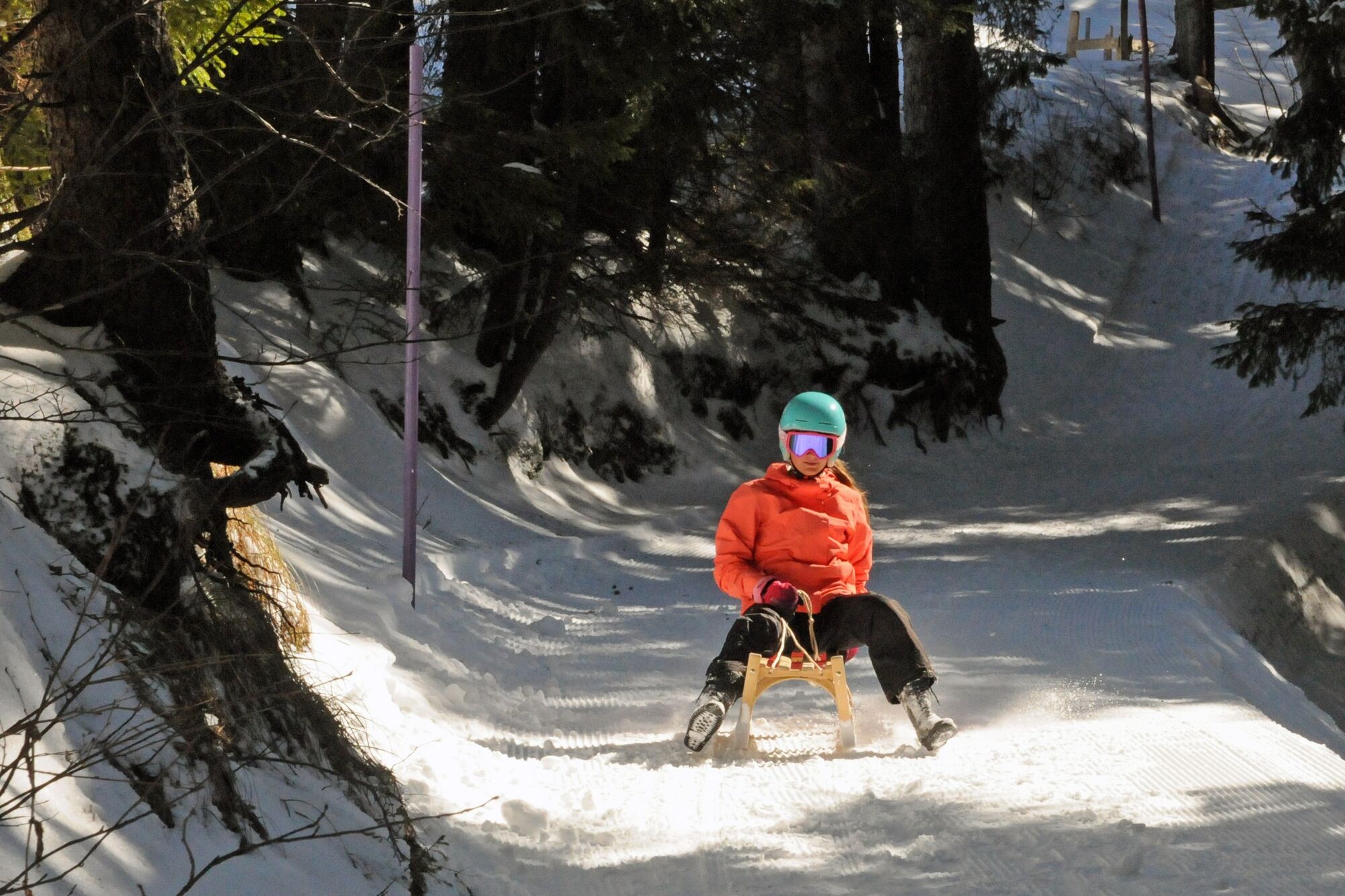
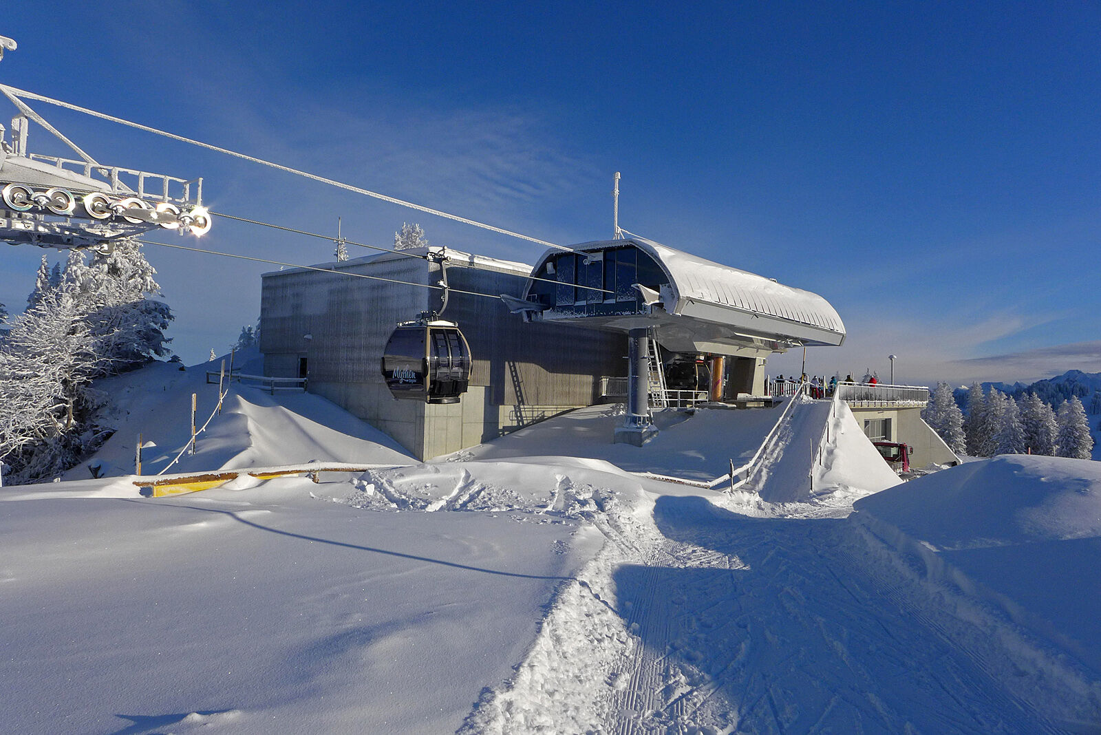
Rasanter Rutschspass am Fusse des Grossen Mythen: Die Strecke verläuft von der Bergstation der Rotenfluebahn zur Mittelstation Rätigs. Ein steilerer Abschnitt am Anfang und eine kurvige Passage im Wald sorgen für Abwechslung. Dennoch bleibt genügend Zeit, um das Voralpenpanorama zu geniessen.
- Difficulty
-
medium
- Rating
-
- Route
-
Gipfelstubli0.0 kmBergrestaurant Skihaus Holzegg0.9 kmMittelstation Rotenflue4.3 kmBerg-Rätigs4.3 km
- Best season
-
AugSepOctNovDecJanFebMarAprMayJunJul
- Highest point
- 1,568 m
- Endpoint
-
Rätgis - Rotenflue Mittelstation
- Height profile
-
 © outdooractive.com

- Author
-
The tour Schlittelweg Rotenflue - Rätigs is used by outdooractive.com provided.
GPS Downloads


General info
Refreshment stop
Insider tip
A lot of view
Other tours in the regions
-
Schwyz
37
-
Mythenregion
20
-
Brunni-Alpthal
7