- Brief description
-
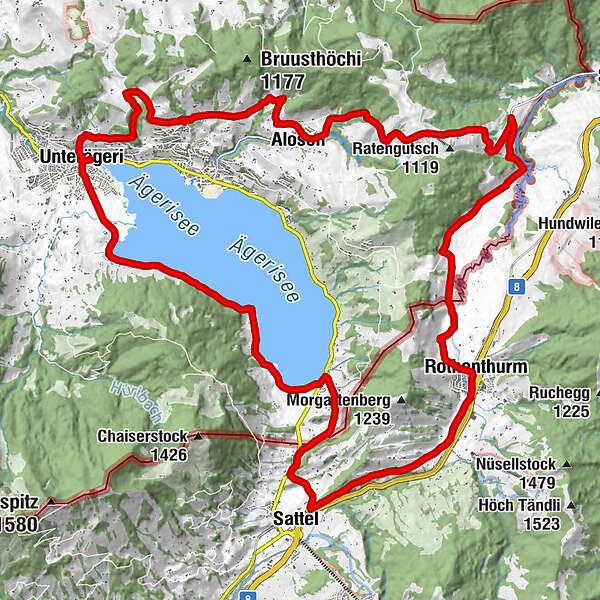
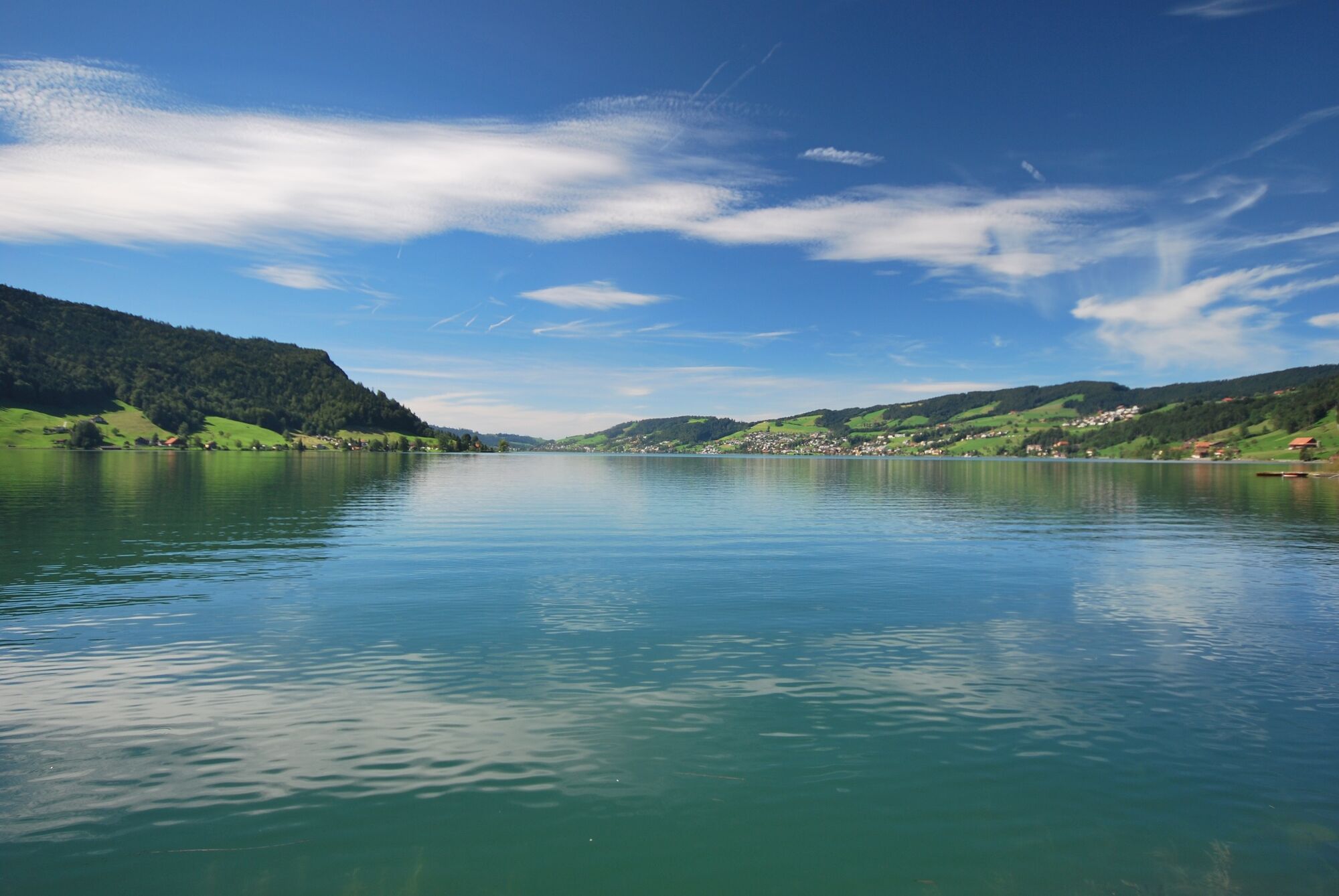
Entdecken Sie das herrliche Gebiet des Ägeritals auf dem E-Bike!
Gestartet werden kann in Sattel bei der Talstation der Drehgondelbahn Stuckli Rondo oder in Unterägeri beim Seminarhotel am Ägerisee. Die ganze Strecke umfasst ca. 30 Kilometer und man benötigt rund 2 Stunden. Die Rundstrecke kann vom Schwierigkeitsgrad als Mittel bezeichnet werden.
- Difficulty
-
medium
- Rating
-
- Route
-
Oberdorf0.2 kmUnterägeri0.2 kmNaas (See) (728 m)4.5 kmNaas4.7 kmHotel Restaurant Morgarten7.1 kmMorgarten Hotel (See) (729 m)7.1 kmMorgarten7.2 kmSchornen8.7 kmSchlachtkapelle9.1 kmSattel10.1 kmPfarrkirche St. Peter und Paul10.2 kmSattel (932 m)12.8 kmRothenthurm14.0 kmRossboden16.7 kmSteinstoss-Stubli18.1 kmAlosen25.2 kmGrund28.3 kmSchneit29.0 kmBergwirtschaft Kistenpass29.4 kmOberdorf32.2 kmUnterägeri32.2 km
- Description
-
Discover the wonderful Ägeri valley region by E-Bike!
You can start in Sattel by the lower station of the revolving cable cars Stuckli Rondo or in Unterägeri by the Seminarhotel am Ägerisee. The whole route covers approx. 30 kms and takes about 2 hours: the degree of difficulty can be classed as medium.
Route from Unterägeri:
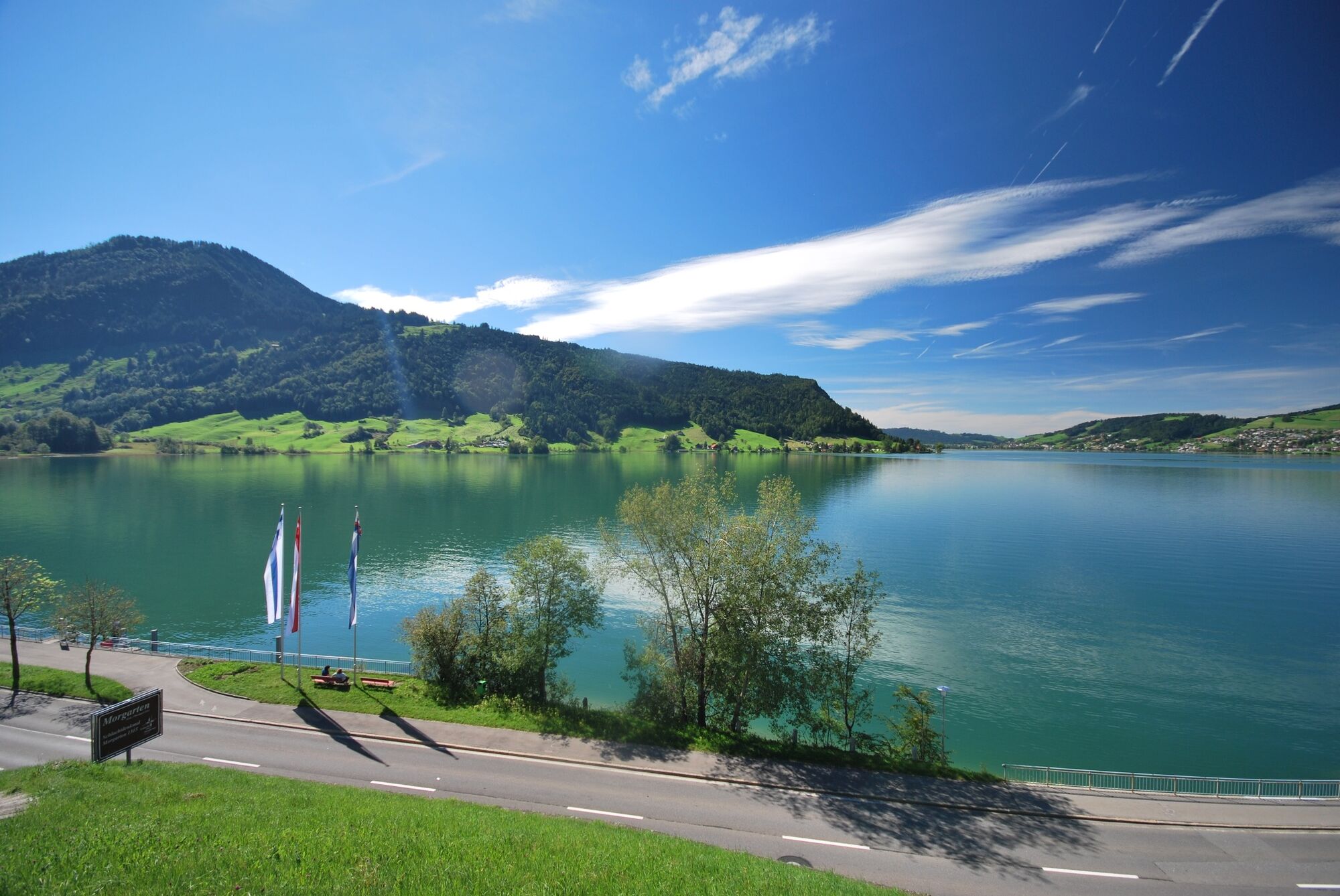
From the Seminarhotel am Ägerisee ride along Lidostrasse in the direction of the camp site. Pass the camp site on your left and follow the shores of Lake Aegeri. At the end of the lake in Morgarten, you reach the main road: turn left here and then immediately up right after Restaurant Morgarten. Follow this road as far as Restaurant Schornen. When you get there, go up left in the direction of Sattel on the main road. Pass the chapel and then after a good 200 metres turn off the main road left in the direction of Sattel village. In the village, turn left and follow the road all the way to Rothenthurm. Finally, follow the Cycle Route 9 as far as Ratenstrasse. Once there, follow the main road up to the Raten pass. From there the route is a speedy run down to Alosen, where you follow Cycle Route 22. At the main road turn left and follow the road in the direction of Oberägeri-Unterägeri back to the Seminarhotel am Ägerisee.
Route from Sattel:
From the lower station in Sattel you follow the main road as far as the Guesthouse Krone in the direction of Rothenthurm. By the guesthouse, turn left and then straightaway up right: direction Sattel village. Follow the road all the way to Rothenthurm. Finally, follow Cycle Route 9 as far as Ratenstrasse. Once there, follow the main road to the Raten pass. After a speedy run down to Alosen, follow the Cycle Route 22 to Unterägeri. Turn left at the main road and follow it as far as the Zumbach Bakery. Here turn into the Lidostrasse in the direction of the camp site. Pass the camp site on your left and follow the shores of Lake Aegeri. At the end of the lake in Morgarten, you reach the main road: here turn left and then after Restaurant Morgarten go up right. Follow this road as far as Restaurant Schornen. Once there, go up left in the direction of Sattel on the main road. Pass the chapel and turn off the main road a good 200 metres further on, direction Sattel village. In the village, turn right and go down as far as the main road. Here follow the brown road sign Sattel-Hochstuckli as far as the lower station of the cable cars.
Sights to see and other places of interest:
- Morgarten Monument
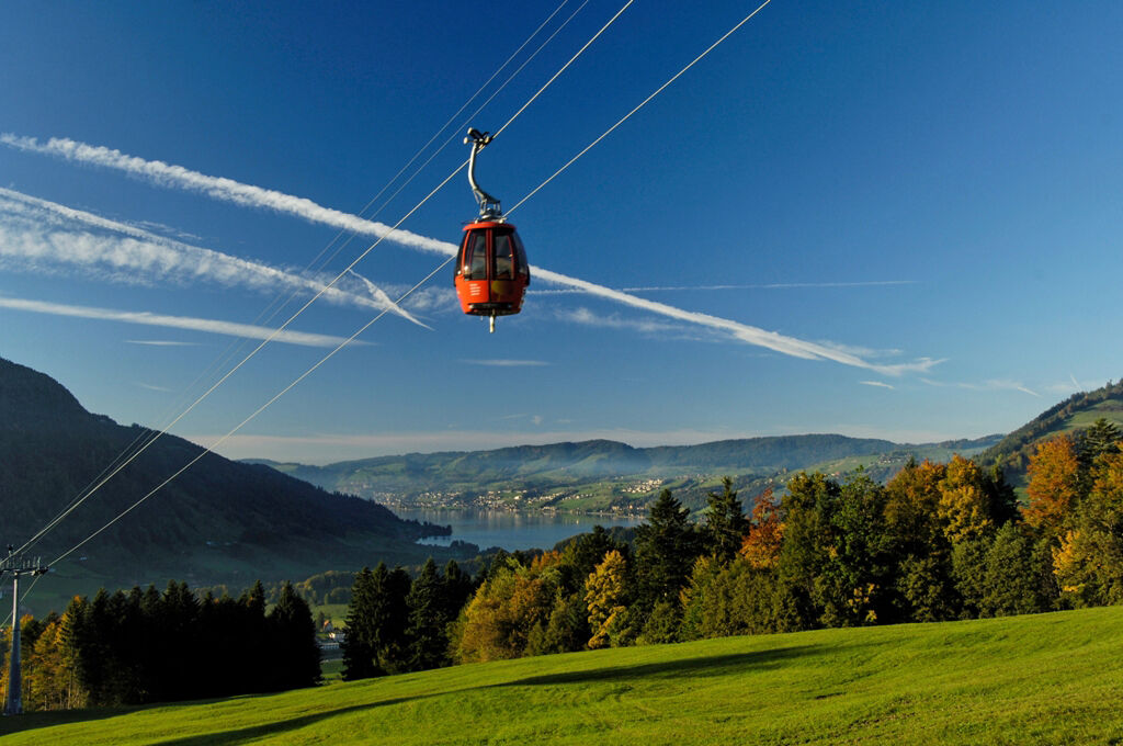
- Funicular Sattel-Hochstuckli: E-Bike-Station
- Restaurant Bären, Sattel
- High moor Rothenthurm
- Raten Restaurant
- Seminarhotel am Ägerisee: E-Bike-Station
Note(s)
This route can, of course, also be undertaken by mountain bike.
See also
For Supported Areas
GEO-Tracks GmbH
Zugerstrasse 1
CH-6330 Cham
Web: www.gps-tracks.com
E-Mail: touren@gps-tracks.com - Highest point
- 1,075 m
- Endpoint
-
Unterägeri, Seminarhotel am Ägerisee
- Height profile
-
 © outdooractive.com

- Author
-
The tour The idyllic Ägeri valley-Sattel Region is used by outdooractive.com provided.
GPS Downloads


General info
Refreshment stop
Other tours in the regions
-
Schwyz
115
-
Ägerital - Sattel
62
-
Oberägeri
12