© Verein slowUp Hochrhein - Wendel Hilti

© Werbeagentur Erdenbrink, Dogern

© Unbekannt

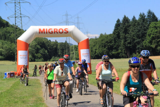
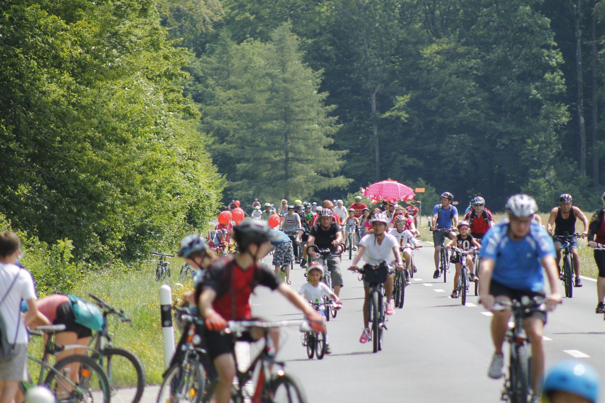
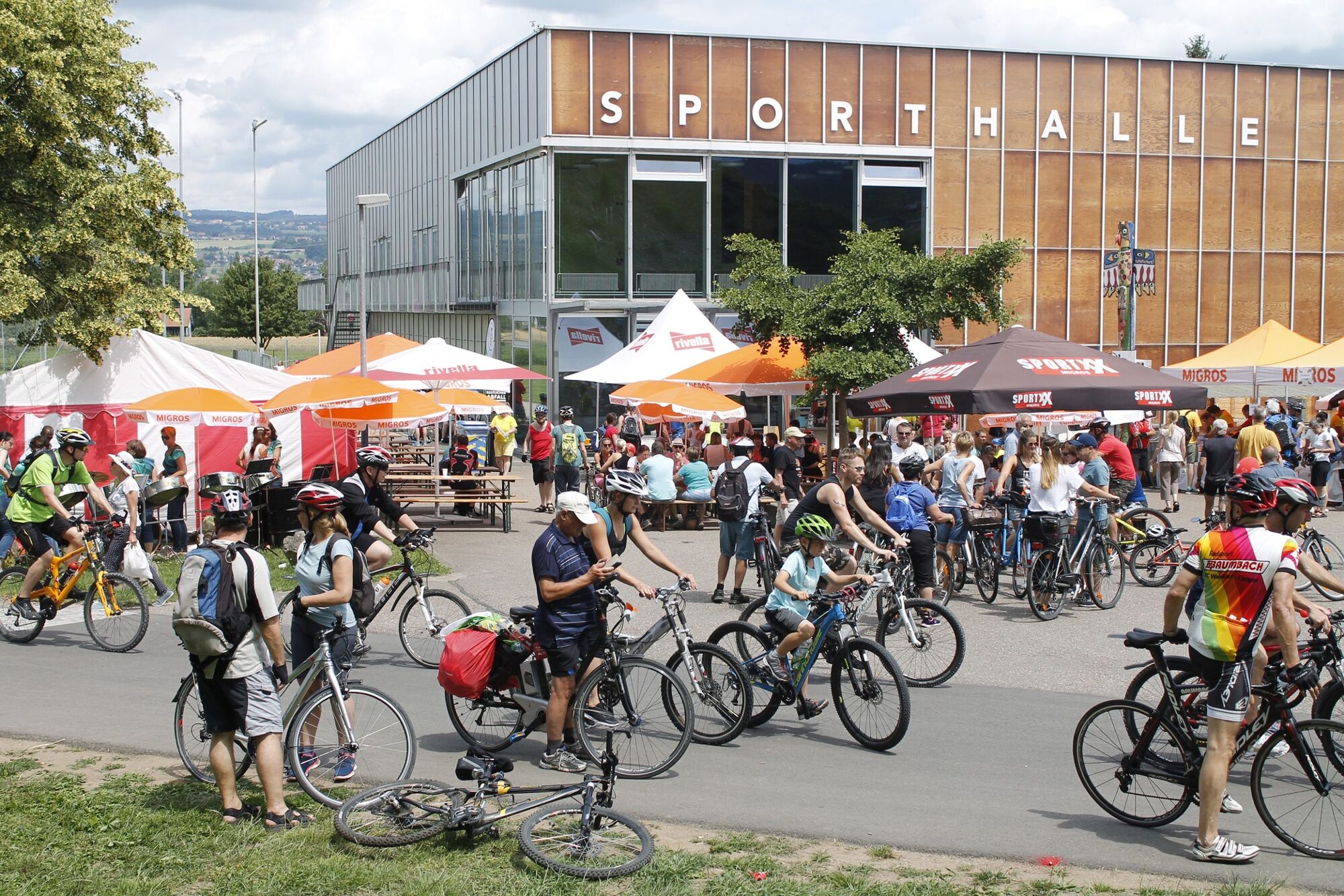
© Verein slowUp Hochrhein - Wendel Hilti

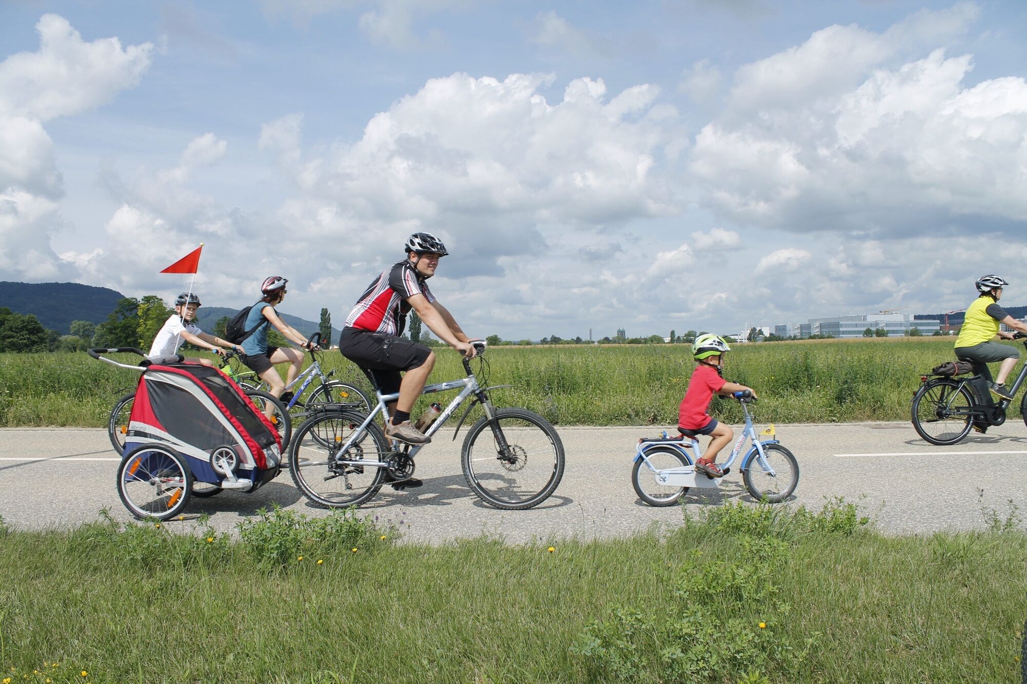
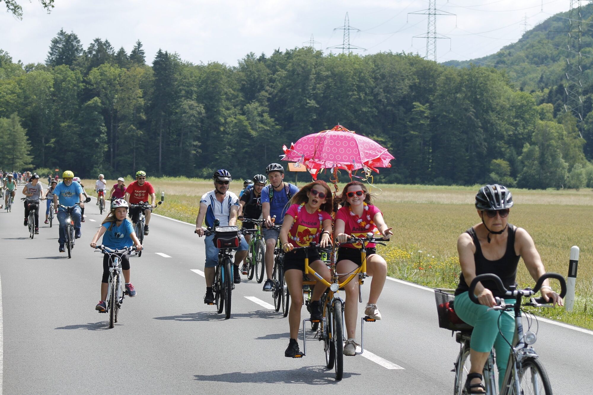
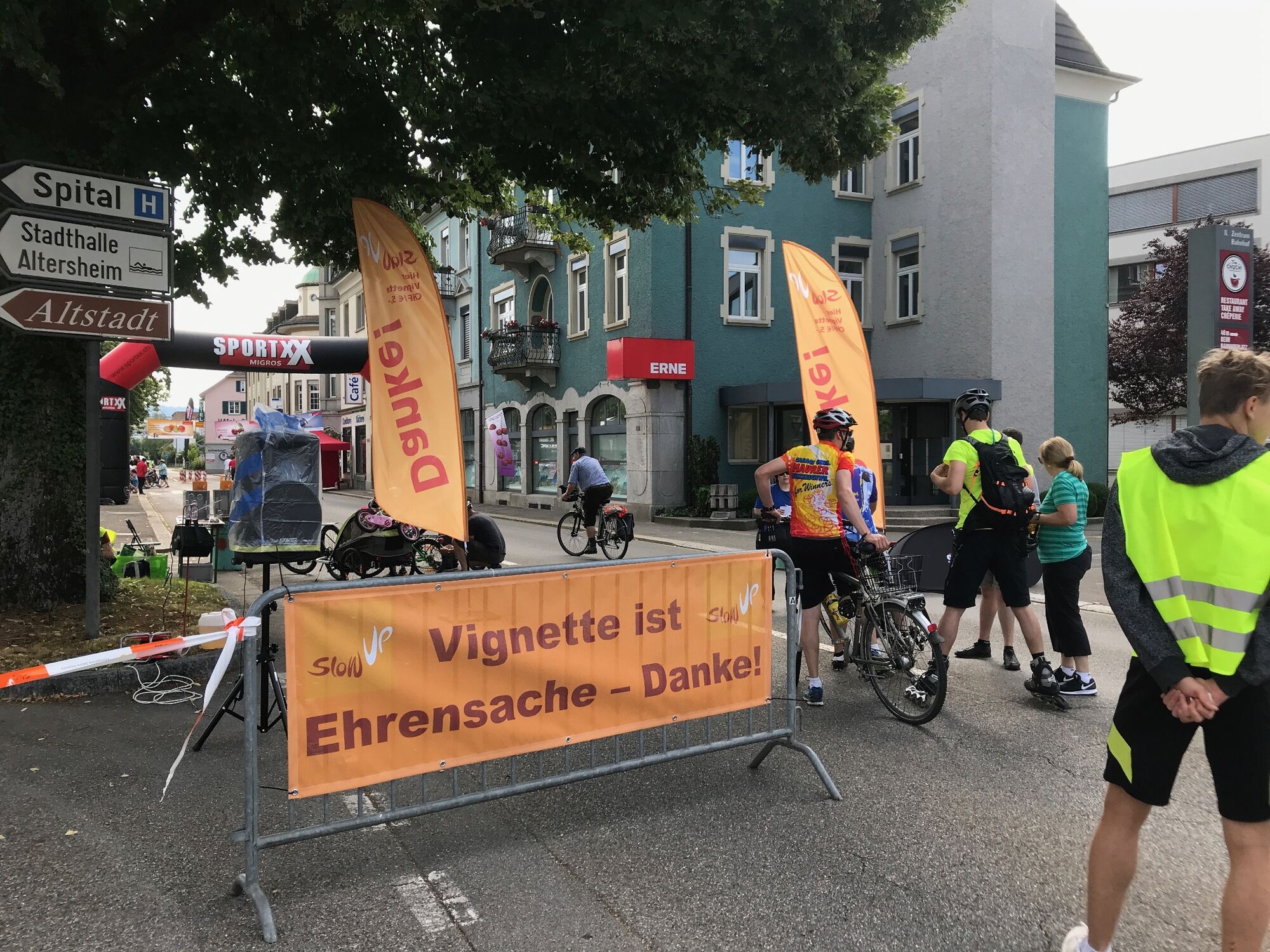
© Verein slowUp Hochrhein - Wendel Hilti

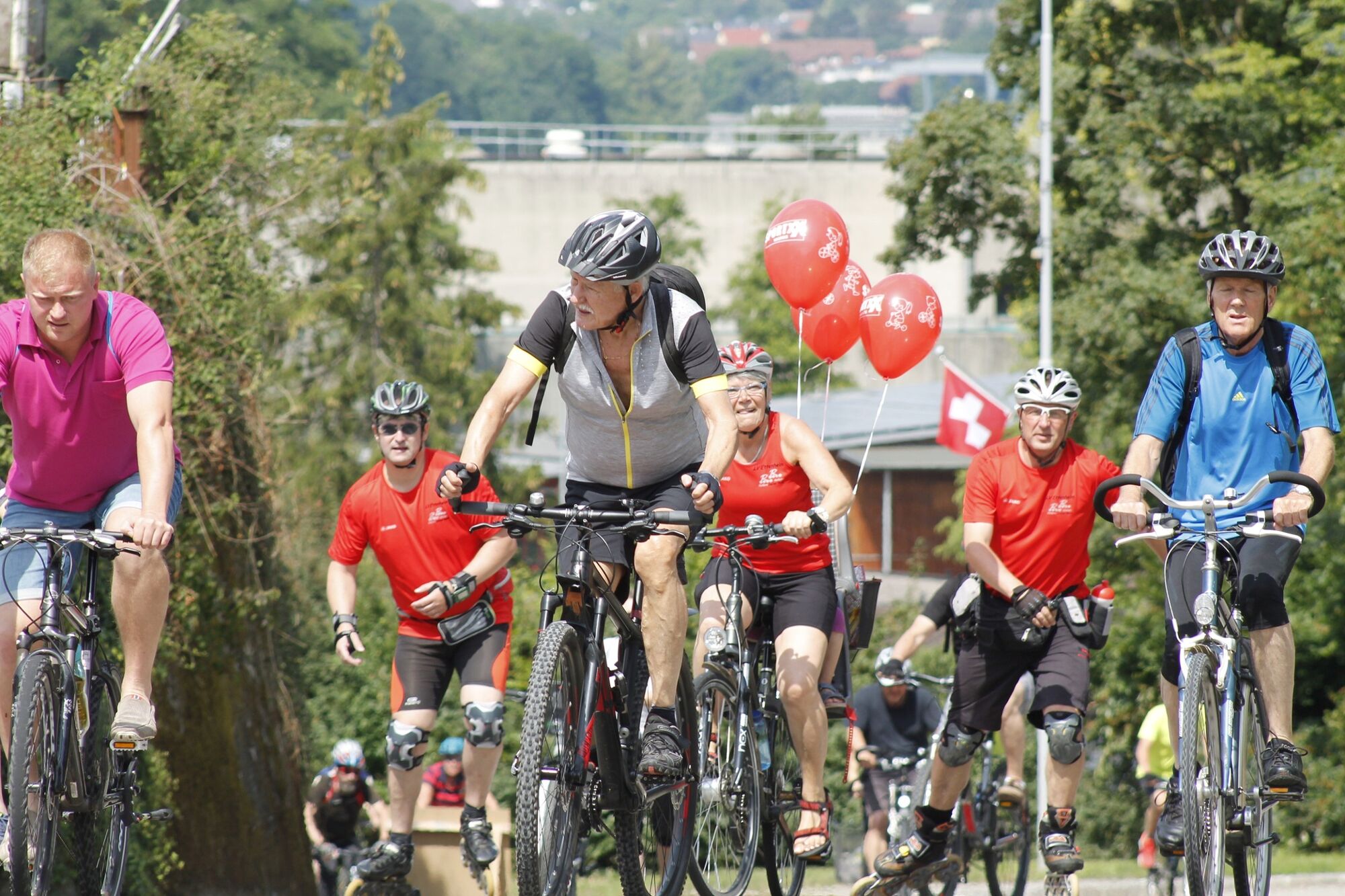
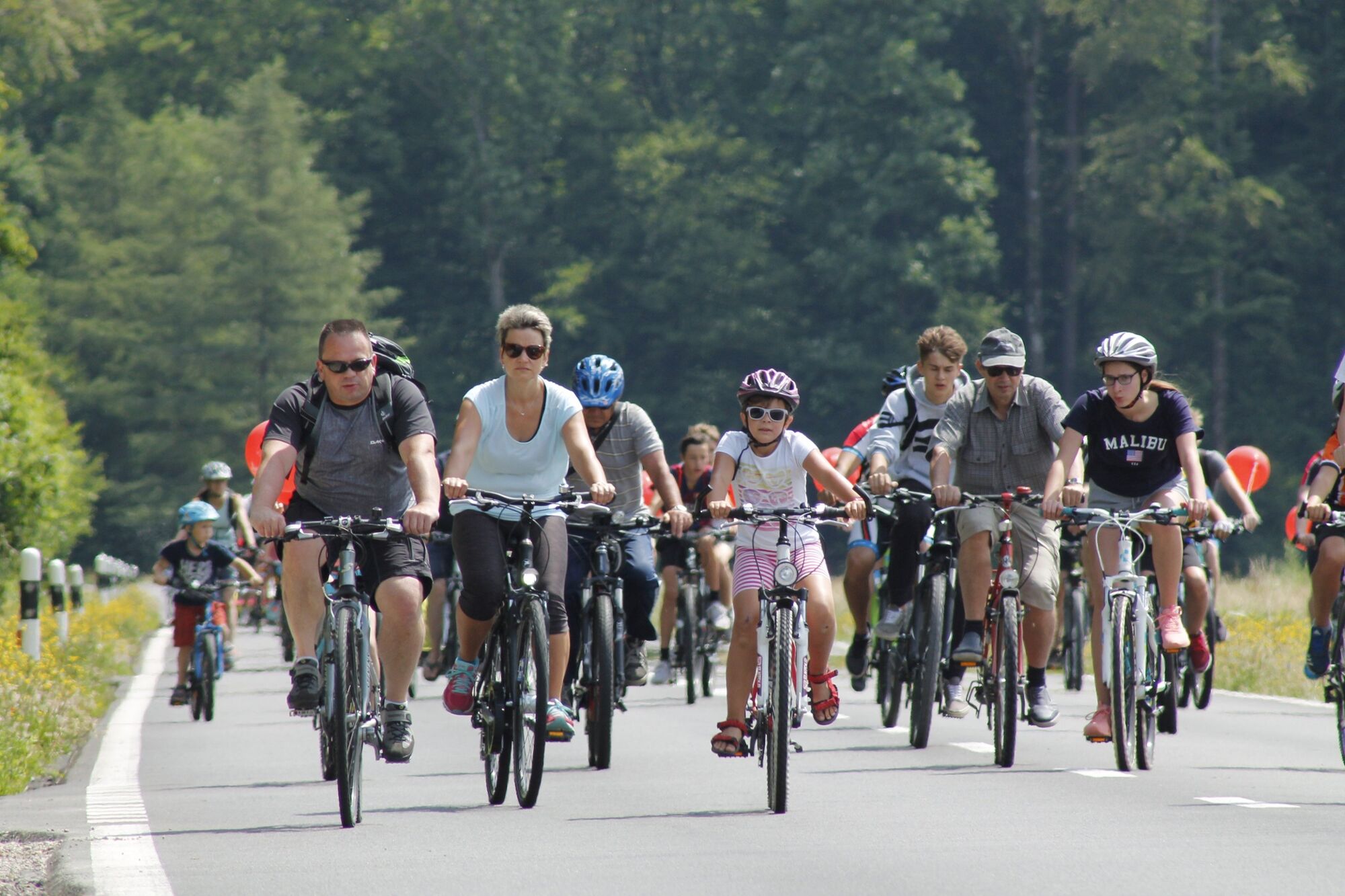
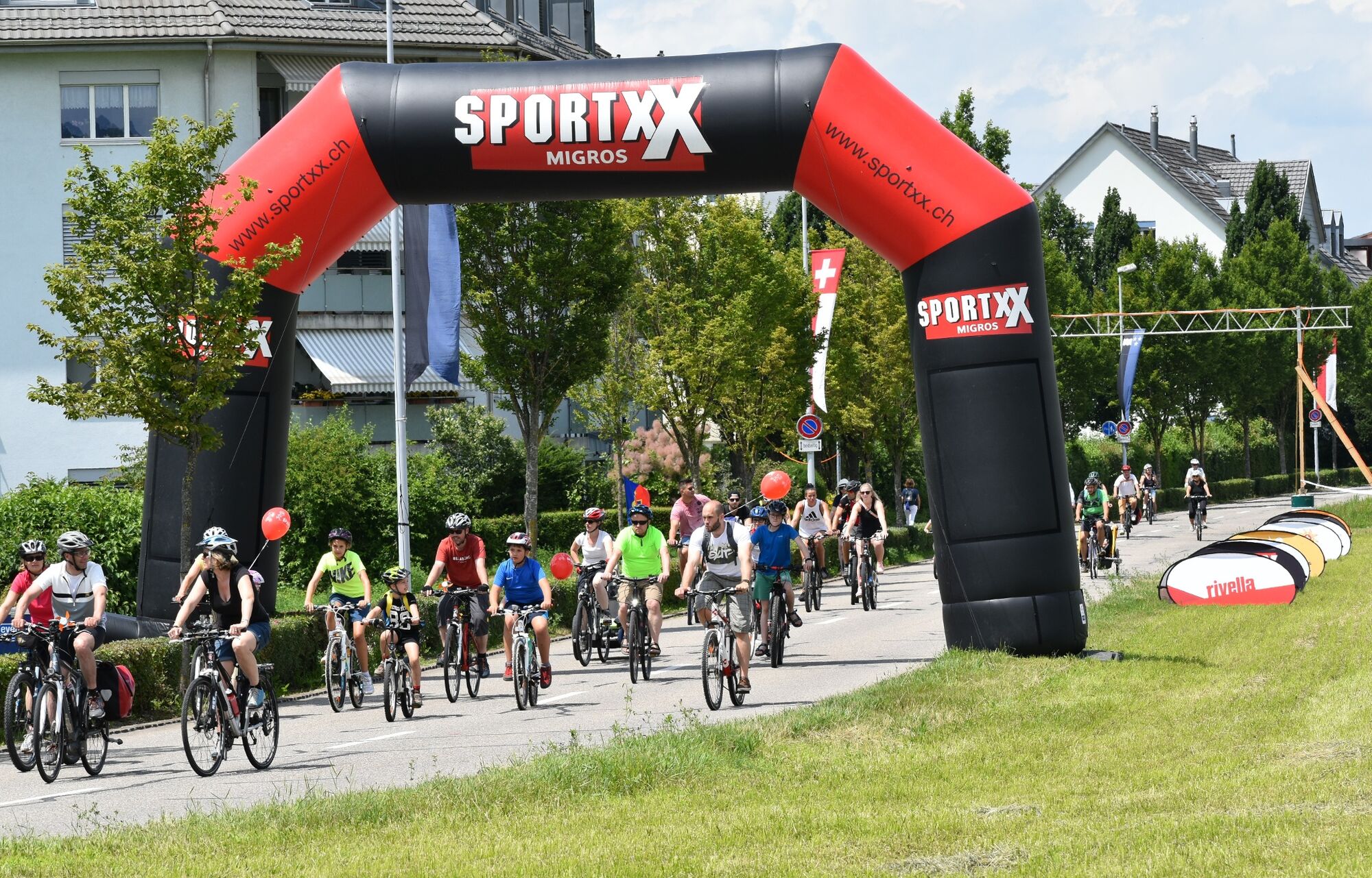
© Verein slowUp Hochrhein - Wendel Hilti

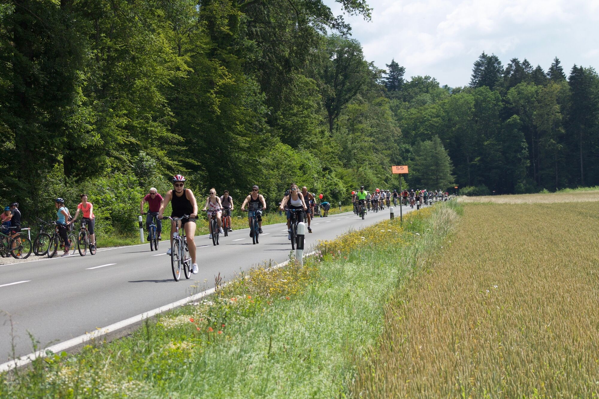
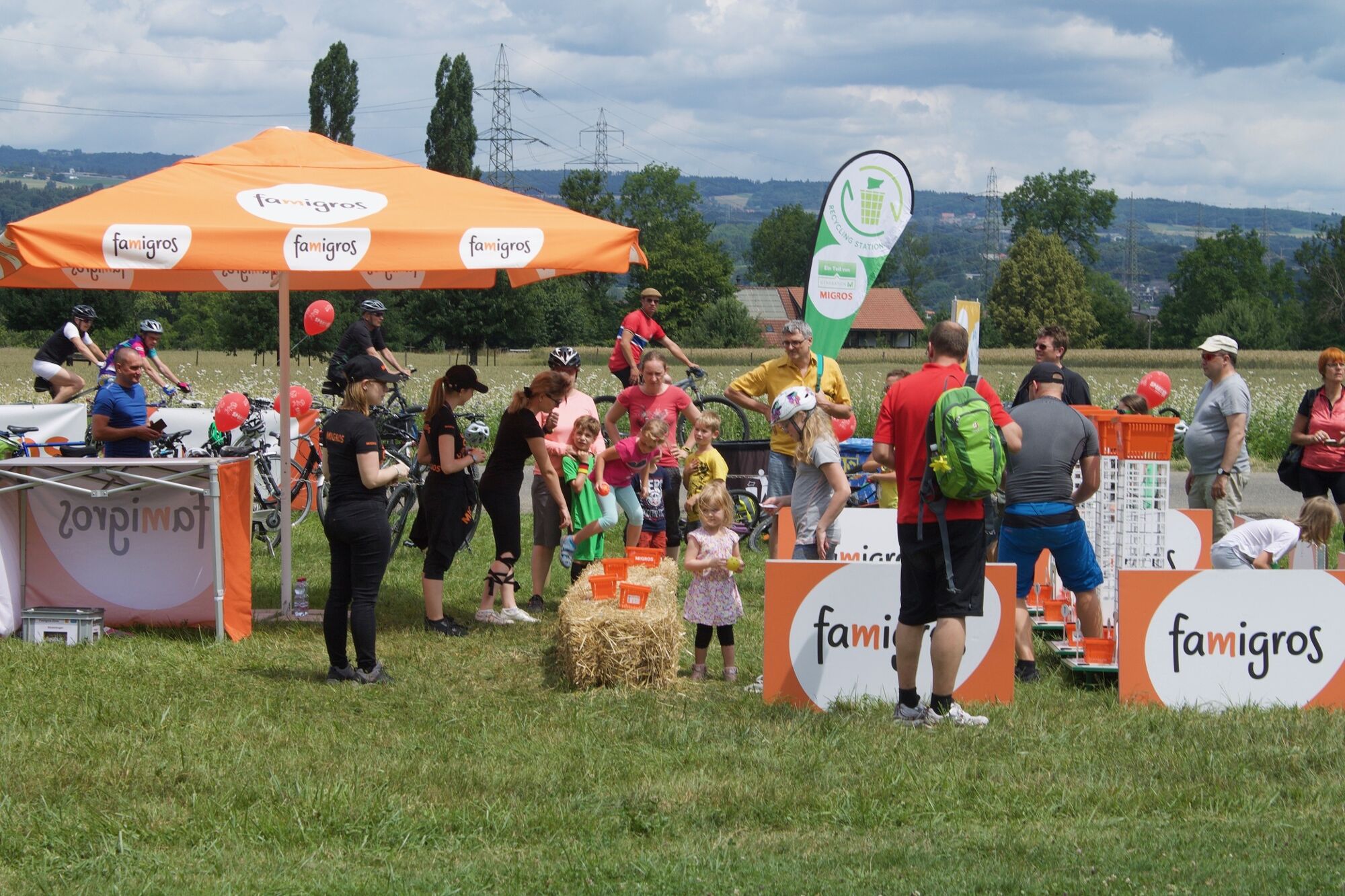
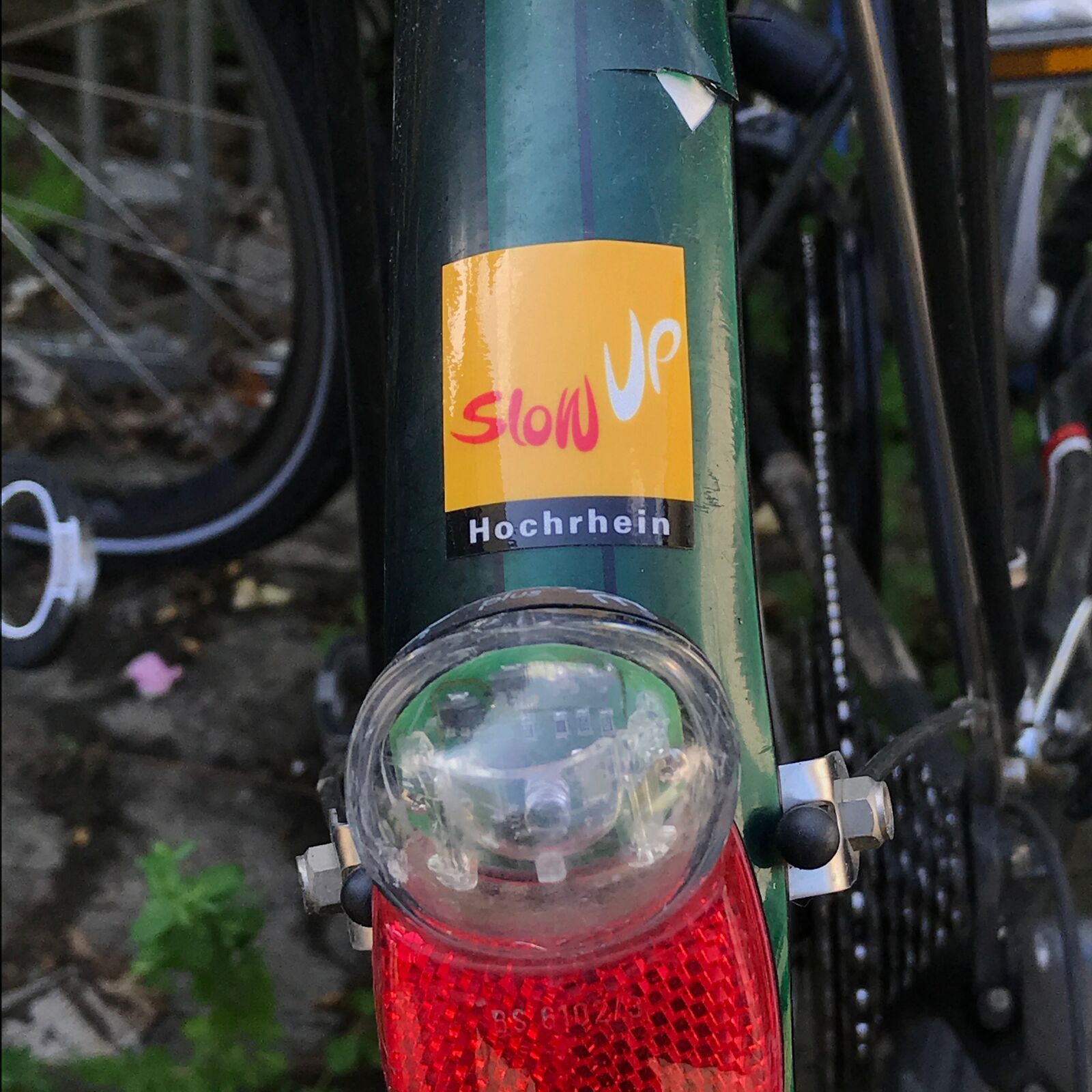
© Verein slowUp Hochrhein - Wendel Hilti

© Verein slowUp Hochrhein - Wendel Hilti

© Verein slowUp Hochrhein - Wendel Hilti

© Verein slowUp Hochrhein - Wendel Hilti

- Brief description
-
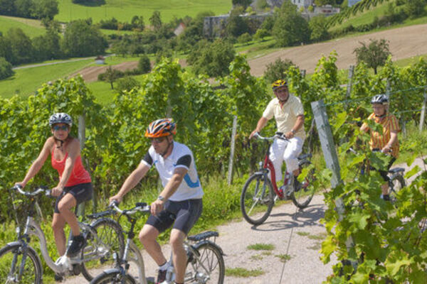
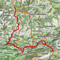
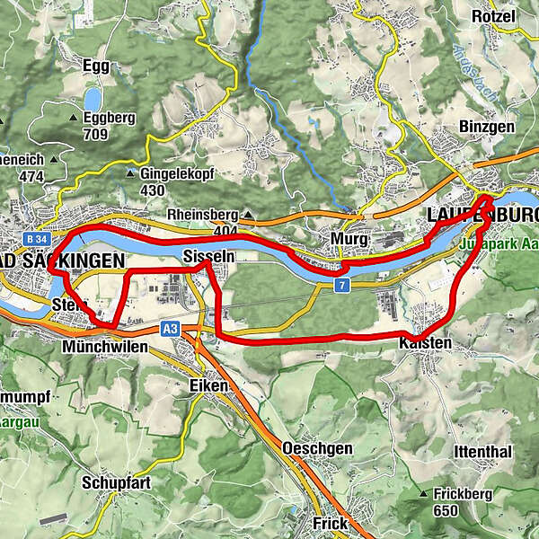
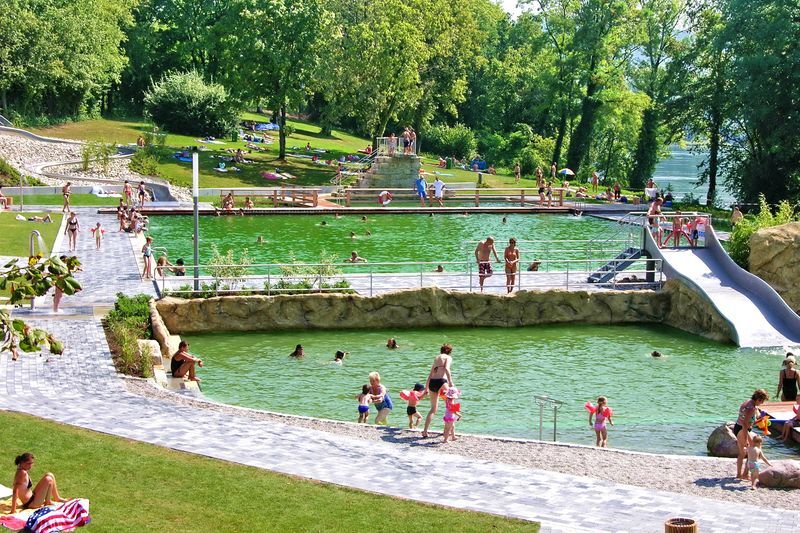
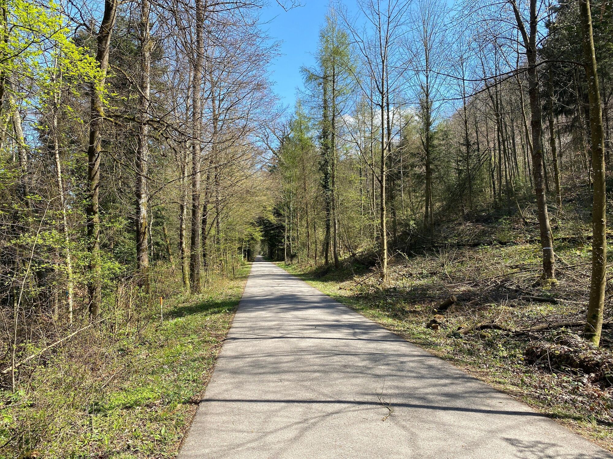
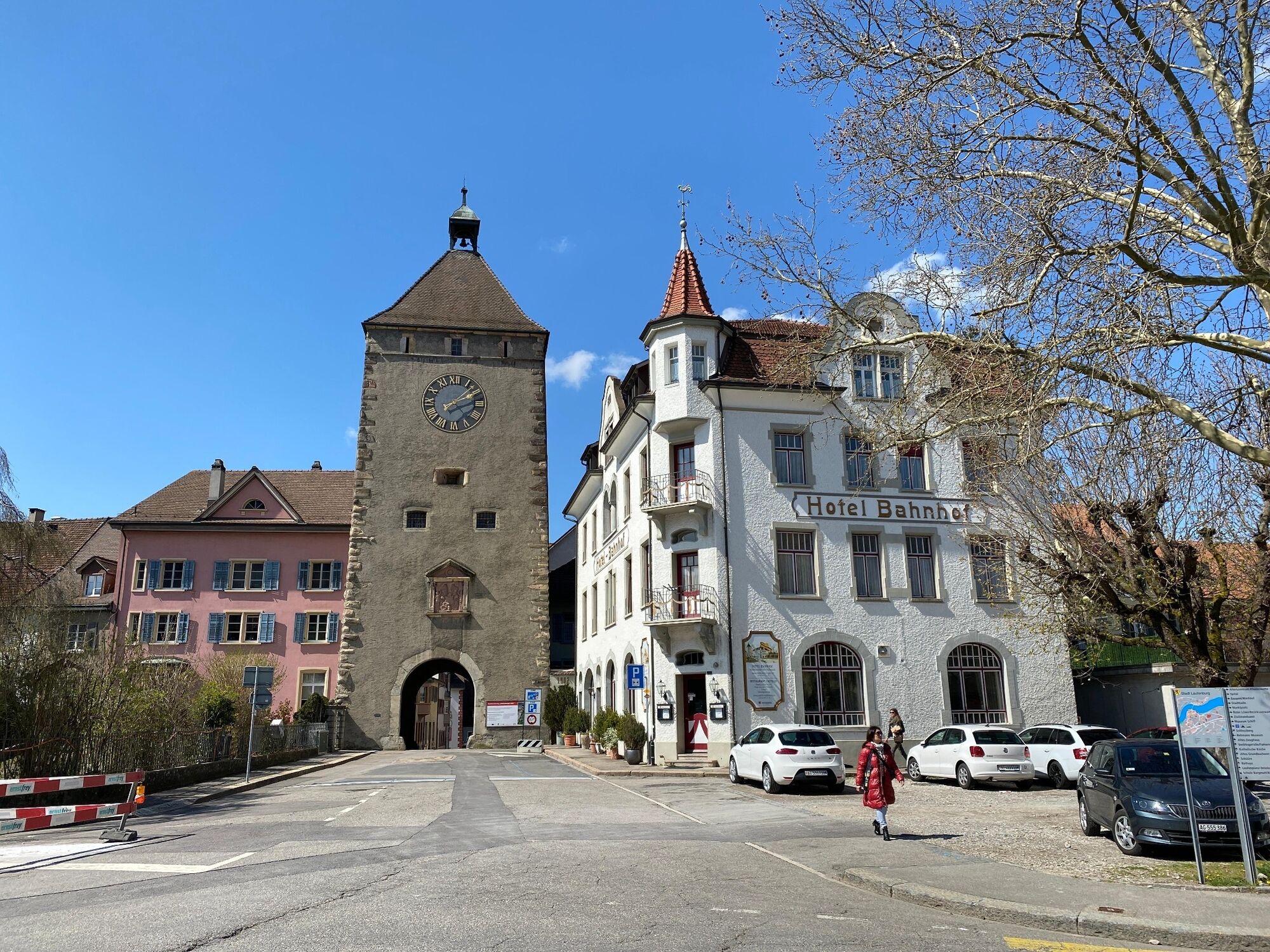
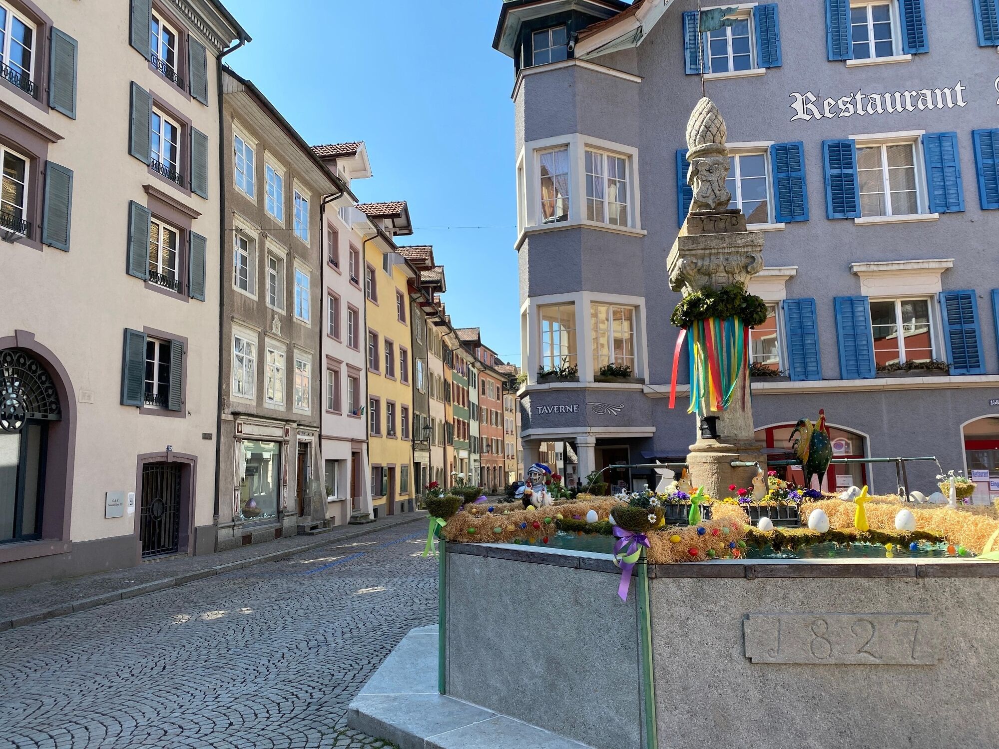
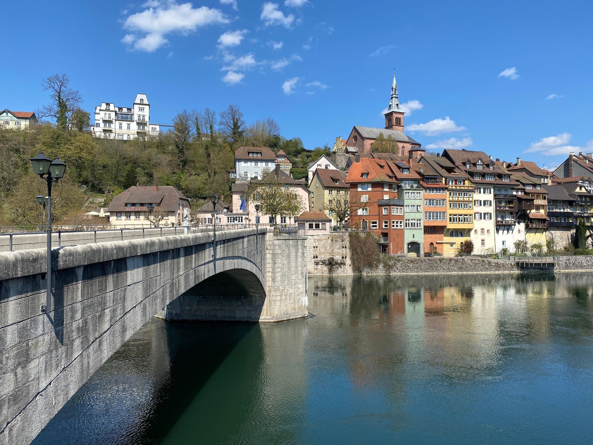
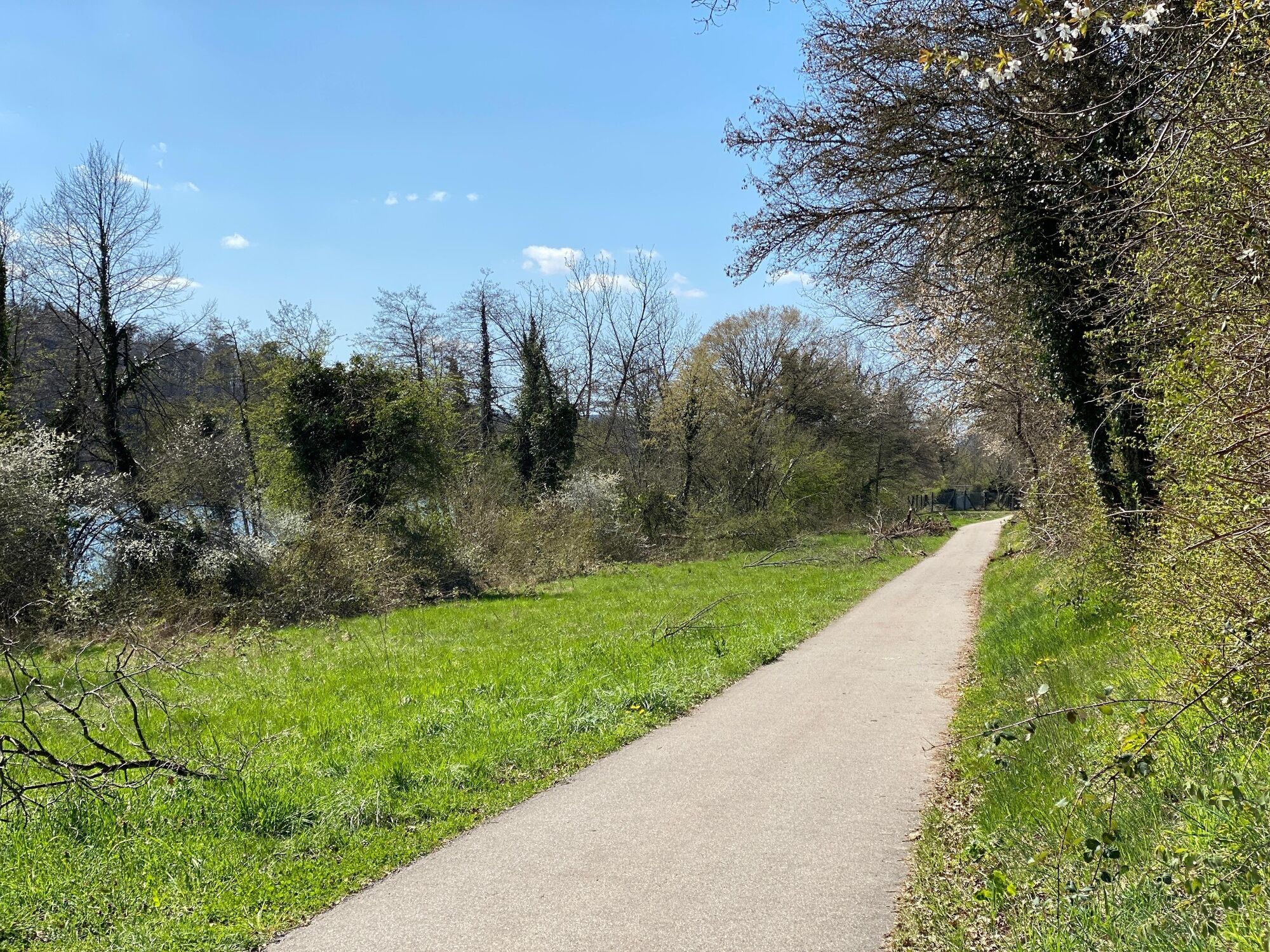
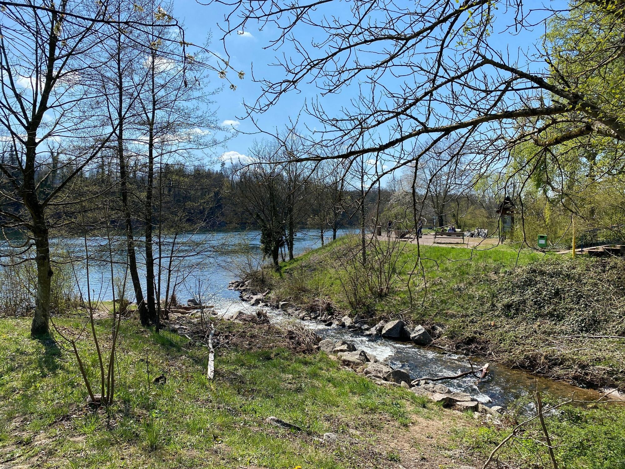
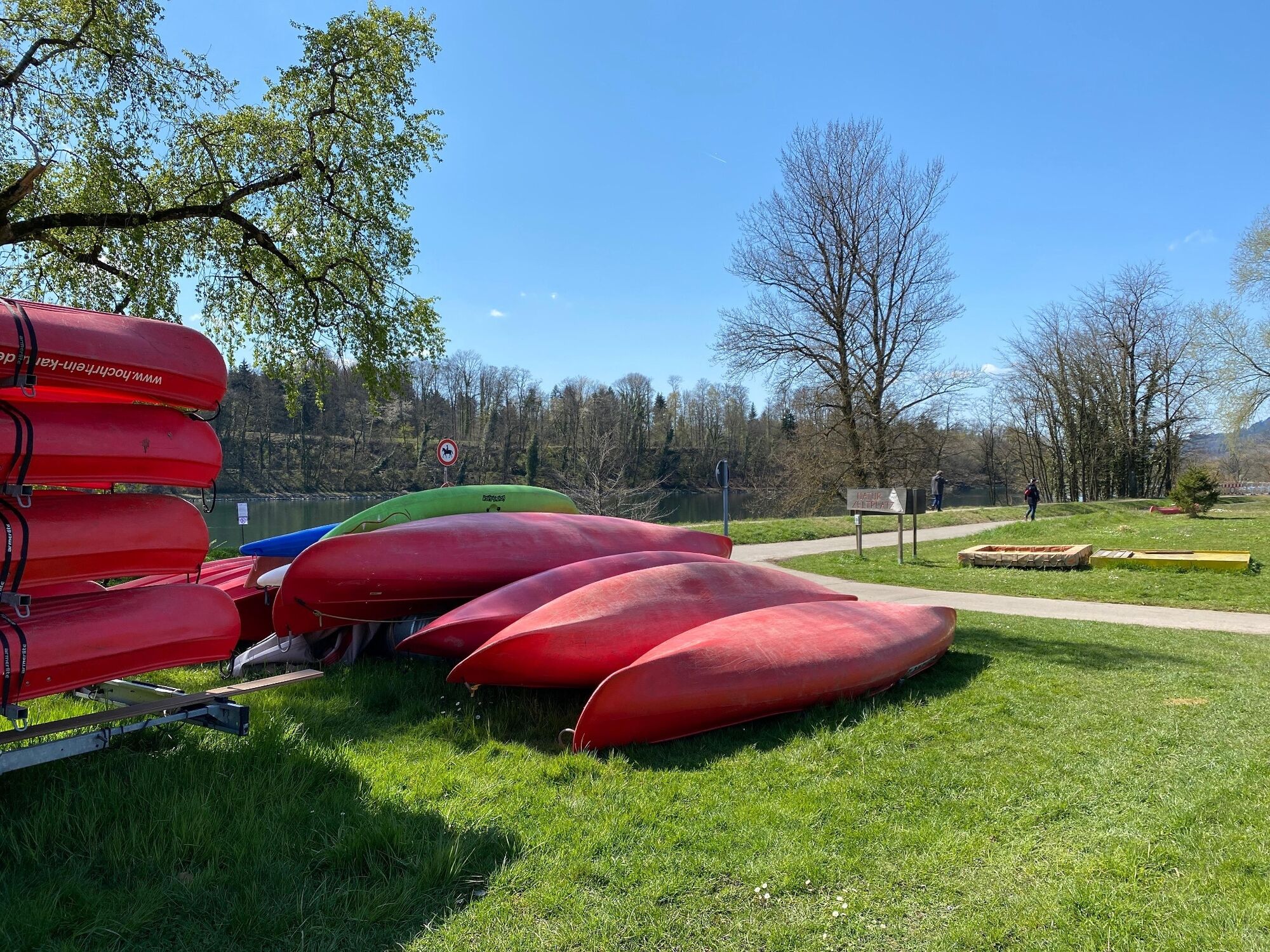
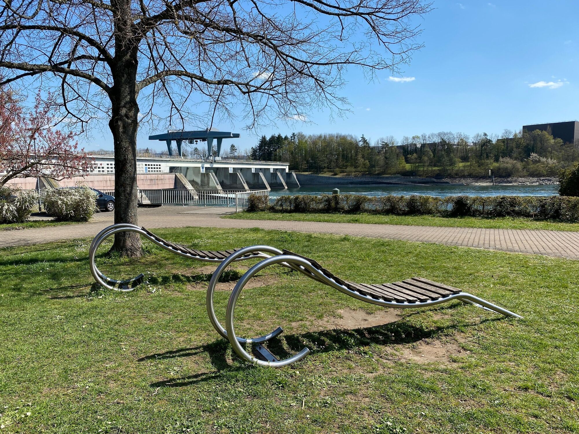
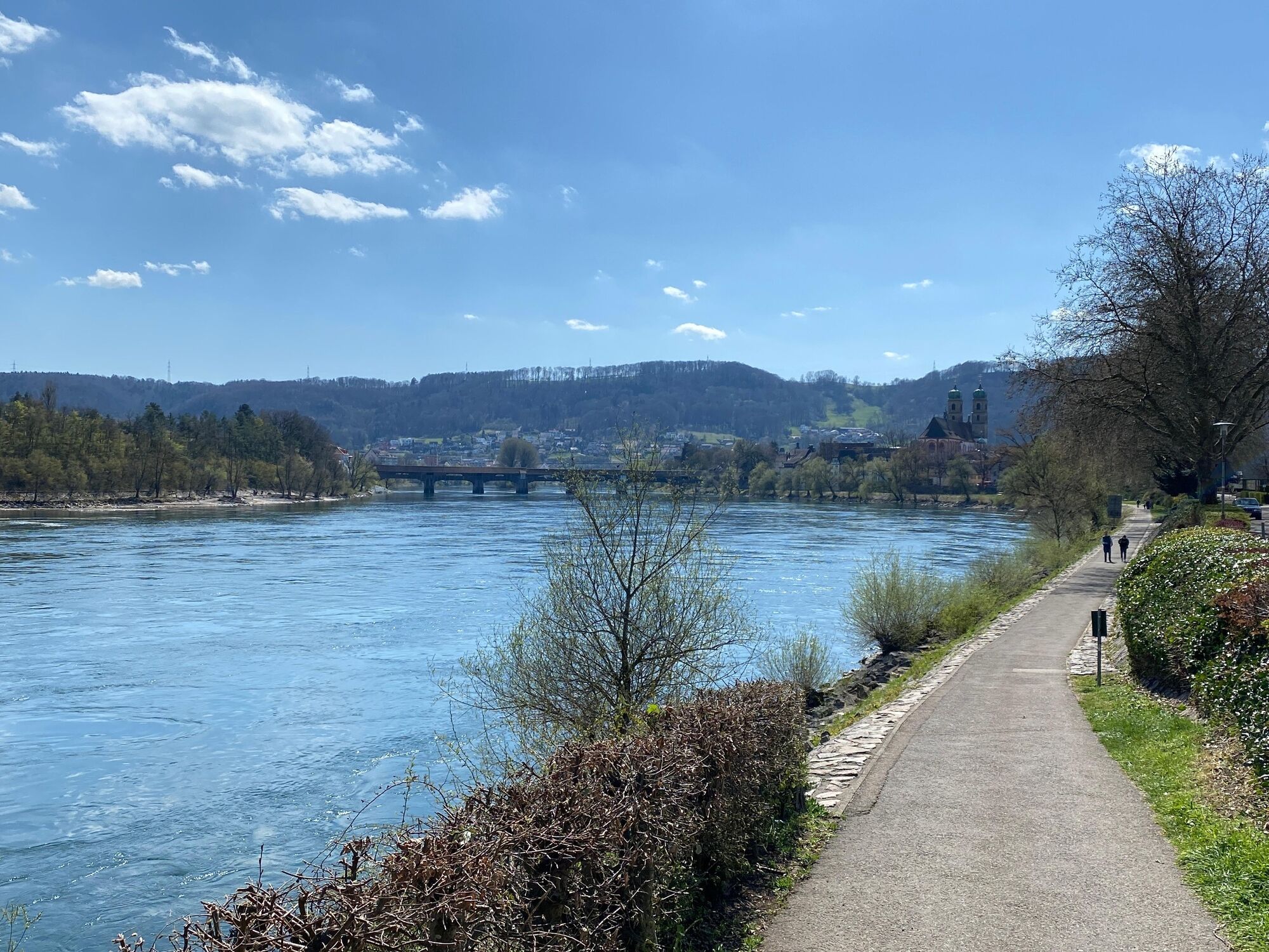
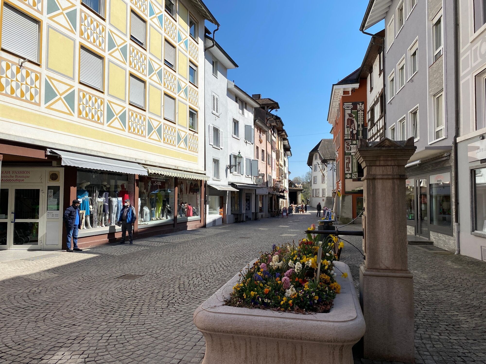
Zwischen Stein-Säckingen und den beiden Laufenburg eine schöne Rundtour beidseits des Rheines. Inkl. drei Altstädten und diversen Bademöglichkeiten.
- Difficulty
-
easy
- Rating
-
- Route
-
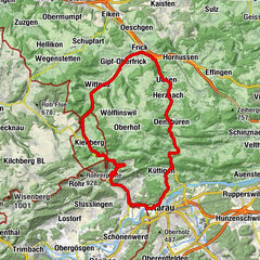
Stein (300 m)Bad Säckingen (291 m)Münchwilen (343 m)0.4 kmRestaurant Pinte3.0 kmSisseln (292 m)3.3 kmSeematt6.7 kmBollhof8.1 kmKaisten (333 m)8.2 kmRestaurant Laurus8.6 kmRosso Speisenrestaurant Warteck8.9 kmLaufenburg (318 m)11.6 kmLaufenburg (Baden) (337 m)12.4 kmVersöhnungskirche12.8 kmRhina13.3 kmFriedhofskapelle15.3 kmMurg15.6 kmCafé Rheinblick16.8 kmRothaus17.8 kmSisseln (292 m)18.7 kmEvang. Stadtkirche21.9 kmFridolinsmünster22.2 kmBad Säckingen (291 m)22.2 kmStein (300 m)23.3 km
- Best season
-
JanFebMarAprMayJunJulAugSepOctNovDec
- Highest point
- 331 m
- Height profile
-
 © outdooractive.com
- Author
-
The tour Auf den Spuren des slowUp Hochrhein is used by outdooractive.com provided.
GPS Downloads


General info
Refreshment stop
Cultural/Historical
A lot of view
Other tours in the regions
-
Kanton Aargau
196
-
Fricktal
97
-
Murg-Schwarzwald
30