
- Brief description
-
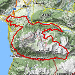
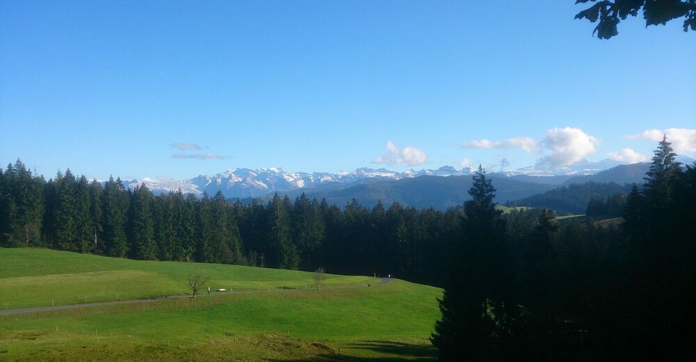
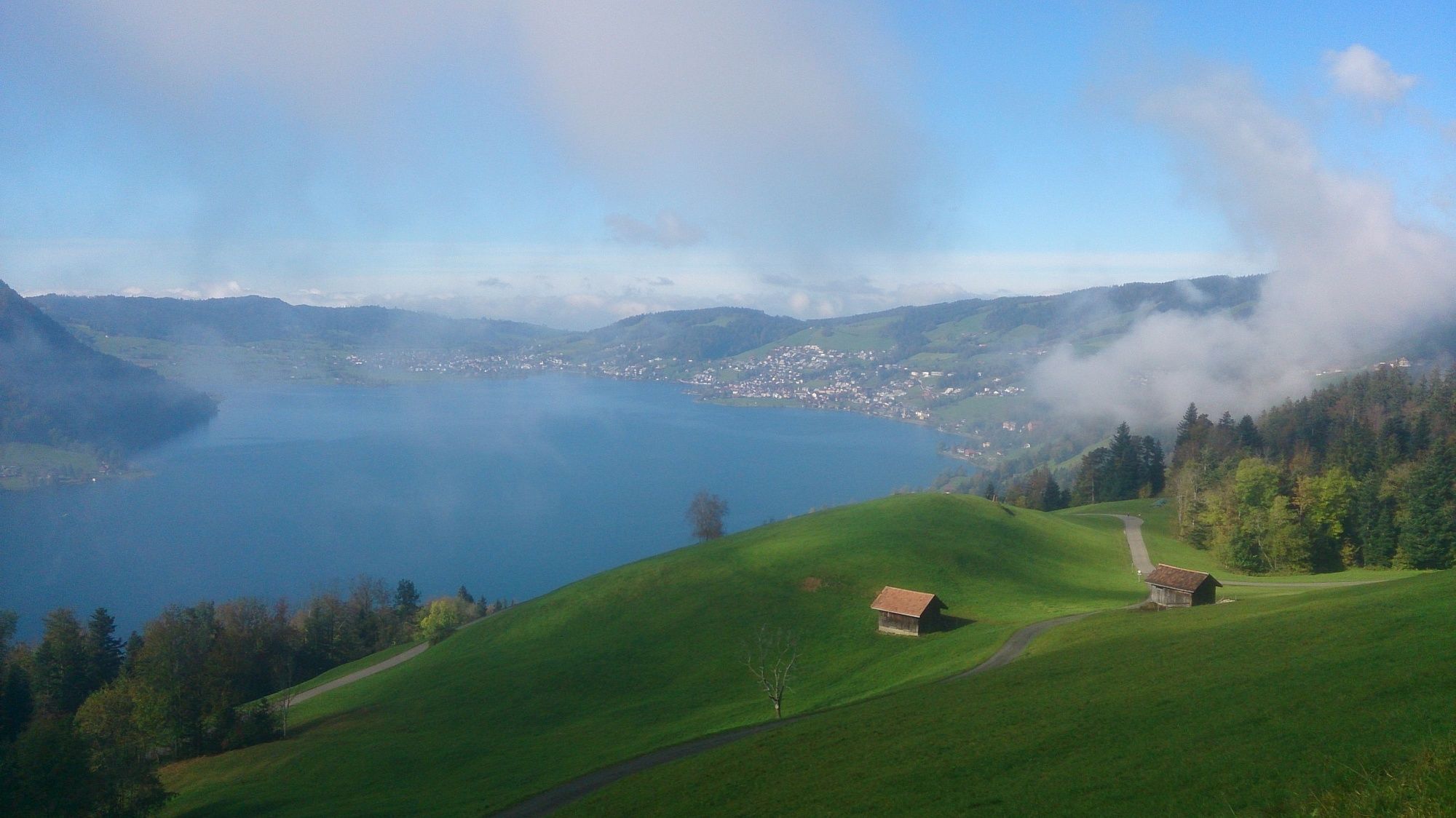
Moderately challenging tour (physically and technically) with some nice single trail sections around the Aegeri lake. The tour includes a funicular railway to save 400m ascent gain.
- Difficulty
-
medium
- Rating
-
- Starting point
-
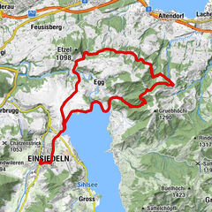
Zug Train Station
- Route
-
Neustadt0.2 kmZug (425 m)0.6 kmAltstadt0.8 kmKirche Sankt Oswald0.9 kmKatholische Kirche St. Michael1.2 kmZurlaubenhof1.3 kmSchönegg (561 m)2.7 kmZugerberg (927 m)4.0 kmRestaurant Zugerberg4.0 kmStation Zugerberg4.0 kmSchönfels4.2 kmVordergeissboden4.3 kmRestaurant Vordergeissboden4.4 kmNollen7.5 kmNaas14.3 kmHotel Restaurant Morgarten16.5 kmMorgarten Hotel (See) (729 m)16.5 kmMorgarten16.6 kmMorgartenberg19.4 kmTändlichrüz20.9 kmBöschi22.0 kmGrindelegg22.7 kmRestaurant Raten25.8 kmGottschalkenberg28.2 kmMangelhöhe (1,103 m)30.3 kmBruusthöchi (1,177 m)30.6 kmKlosterkirche35.6 kmBetlehem37.3 kmForrenmatt37.6 kmRigiblick38.2 kmAlpenblick38.2 kmSt. Bartholomäus38.2 kmAkazie38.2 kmMon Bijou38.2 kmAkelei38.3 kmReformierte Kirche43.2 kmBaar (443 m)43.4 kmInwil44.7 kmZug (425 m)46.7 kmNeustadt46.8 km
- Best season
-
JanFebMarAprMayJunJulAugSepOctNovDec
- Description
-
This tour is good for intermediate to advanced level bikers who like a mix of singletrail, paved and unpaved roads. The scenery along the tour is quite impressive with views at different points along the tour over the lakes of Zug, Aegeri and Zurich and some beautiful Alpine and Pre-alpine peaks. The single trail descent from Rappenflue to Naas is the most technical part of the tour (S2). The tour is rated in general as S1 difficulty level as the S2 level can be avoided if neccesary.
There are also a series of 5 difficult switchbacks on the Singletrail from Bethlehem to Schönbrunn. The vast majority of bikers will have to walk these.
- Highest point
- 1,197 m
- Endpoint
-
Zug Train Station
- Height profile
-
 © outdooractive.com
 - Equipment
-
The majority of the tour is suitable for any mountain bike. The descent to Naas is best suited to a slacker "All Mountain" or "Enduro" bike.
- Safety instructions
-
The descent from Rappenflue to Naas is only suitable for advanced riders. Less confident riders can avoid this by riding along the lake shore from Wilbrunnen to Naas. The tour is rated as S1 difficulty level, however this part of the tour is S2.
- Tips
-
This is a very nice tour to do on a clear Autumn or Spring day when the air is clear and the view of the surrounding mountains very impressive.
- Additional information
- Public transportation
-
There are reguler S-Bahn and Inter Regio trains from Luzern and Zurich.
- Parking
-
There is pay parking available between the train station and the Siemans building in Zug.


-

-
AuthorThe tour From Zug around the Aegeri Lake is used by outdooractive.com provided.


Surfaces
General info
-
Schwyz
196
-
Ägerital - Sattel
89
-
Unterägeri
23