


- Brief description
-
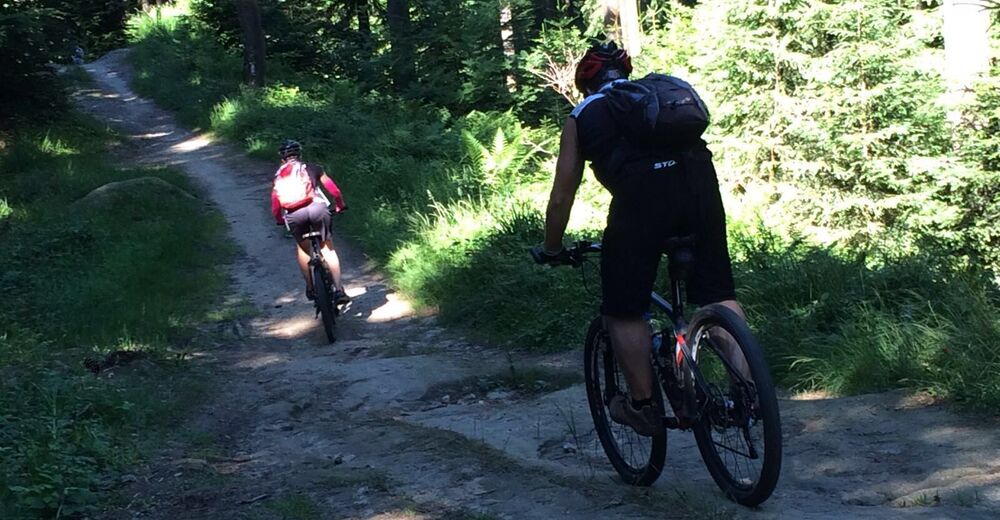
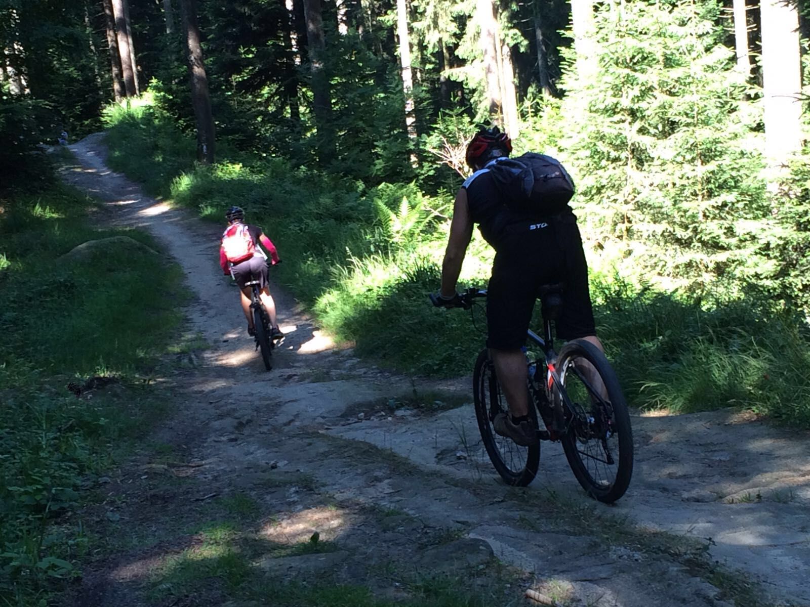
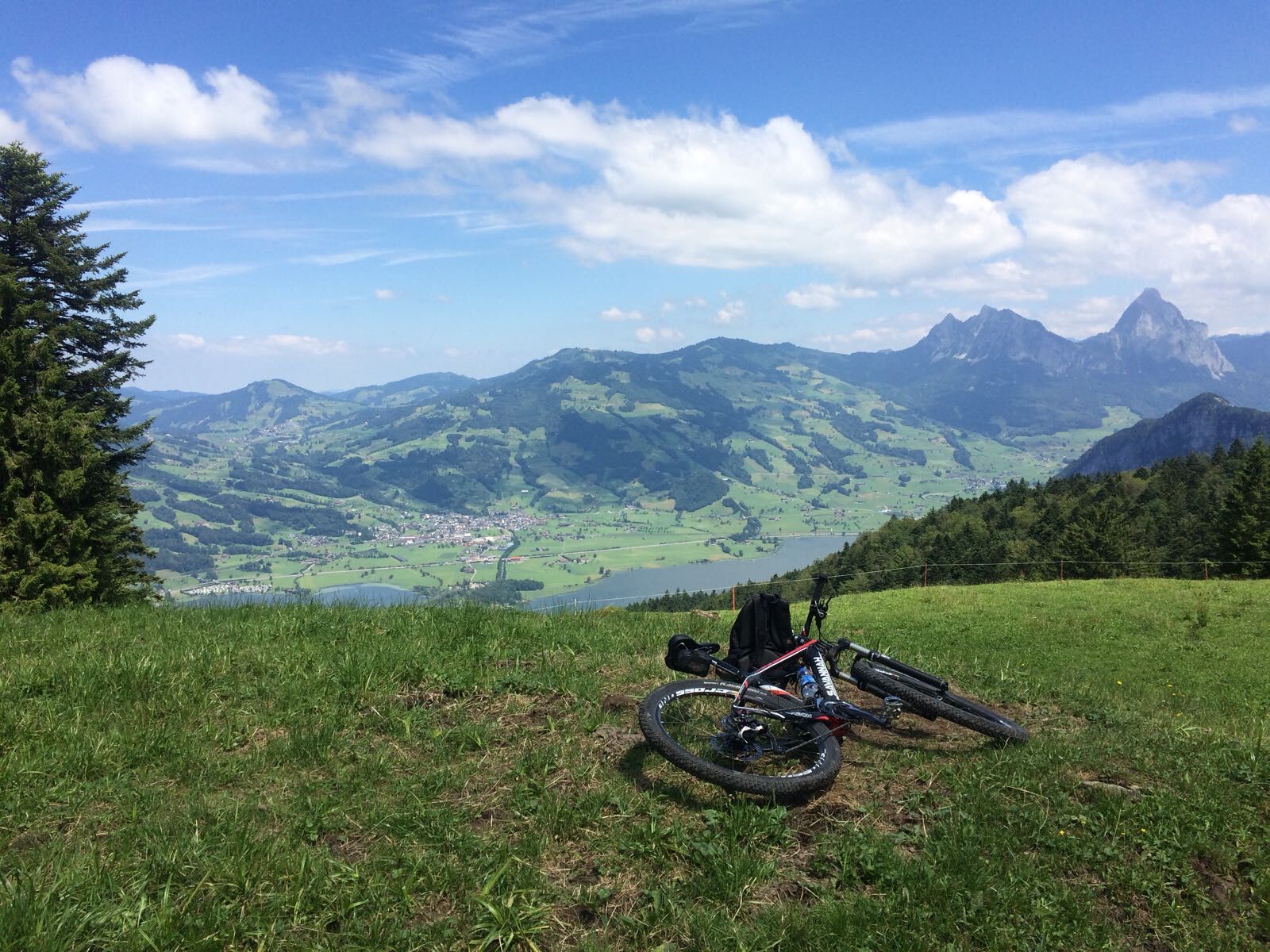
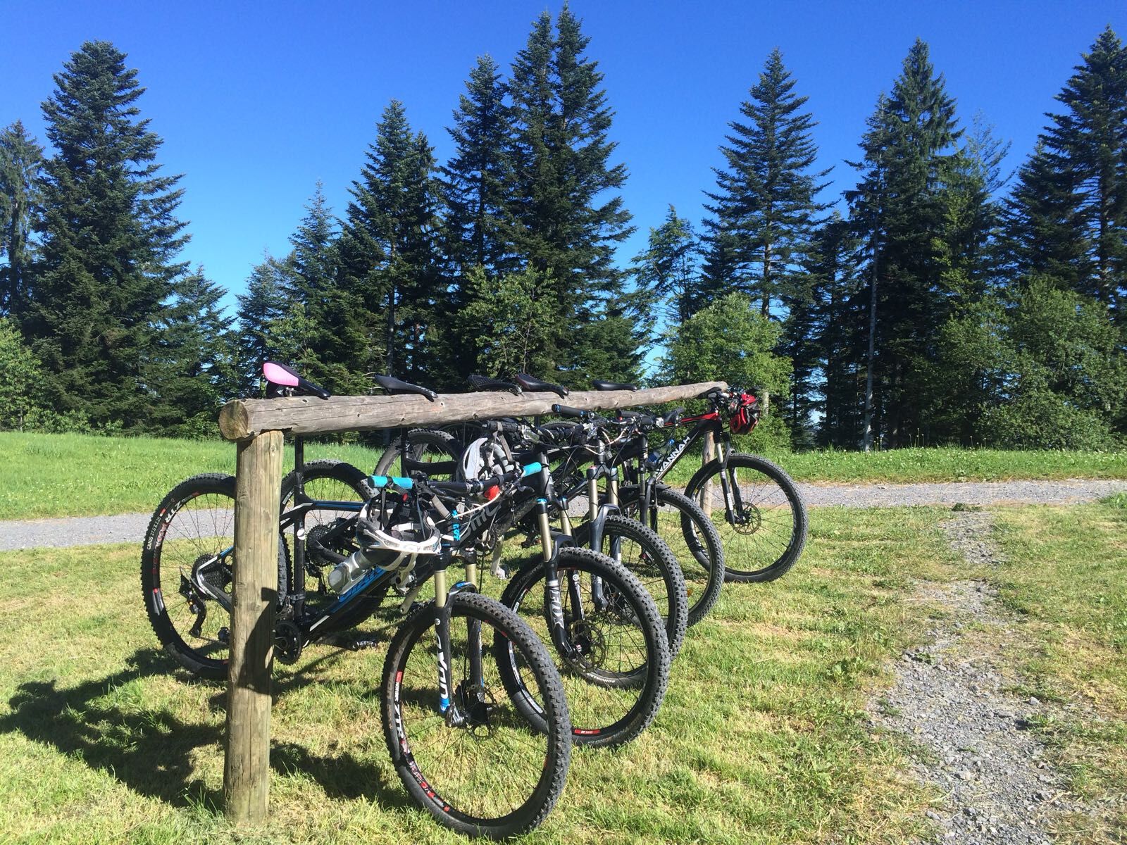
The routes on the Rigi massif offer some of the best mountain biking in Central Switzerland. The fabulous views in all directions are a joy for the eye and balm for the soul.
- Difficulty
-
medium
- Rating
-
- Route
-
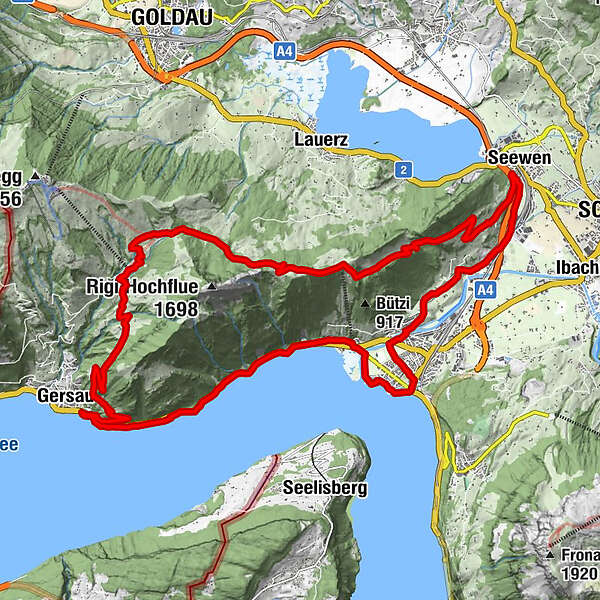
BundeskapelleBrunnenLandungssteg SGV Brunnen0.0 kmBrunnen (440 m)1.7 kmBrunnen SZ2.7 kmEichwald3.6 kmBrünischart3.6 kmLangmatt4.3 kmKapelle Mariahilf5.5 kmGersau7.3 kmOber Gschwend (1,012 m)13.0 kmZum Gätterlipass14.7 kmSchwand18.2 kmSeewen (455 m)23.7 kmSchwyz (516 m)24.1 kmAlpenrösli25.9 kmWylen27.2 kmLaurentius-Kapelle Wylen27.3 kmHerrenmatt27.5 kmSchwärteren27.7 kmRubisacher28.2 kmBrunnen29.1 kmBundeskapelle29.2 km
- Best season
-
JanFebMarAprMayJunJulAugSepOctNovDec
- Description
-
Though not really technically difficult, you need to be fit for this demanding ride. It is amply rewarded by wonderful distant views.
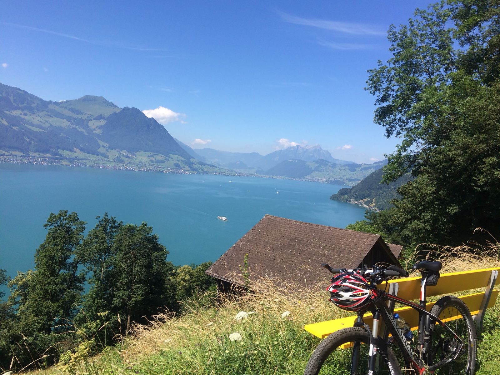
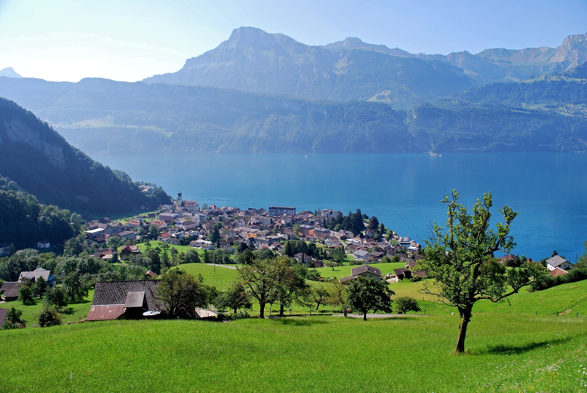
After a flat section along Lake Lucerne, the ascent to the Gätterli Pass begins at Gersau. The ride leads to Timpelweid via Alp Egg and the Gottertli. Just before the Urmiberg is a short section where you need to dismount. This is followed by a rapid descent down to the valley and along the Muota back to where you started.
- Highest point
- 1,327 m
- Endpoint
-
Brunnen
- Height profile
-
 © outdooractive.com
 - Safety instructions
-
The lakeside road between Brunnen and Gersau is very busy on weekends. The route is waymarked in one direction only: Brunnen - Gersau - Gätterli - Brunnen.
- Tips
-
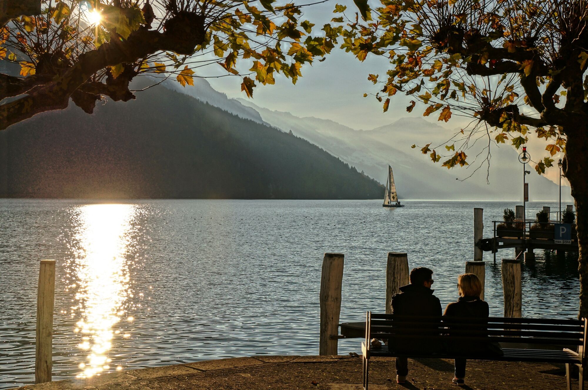
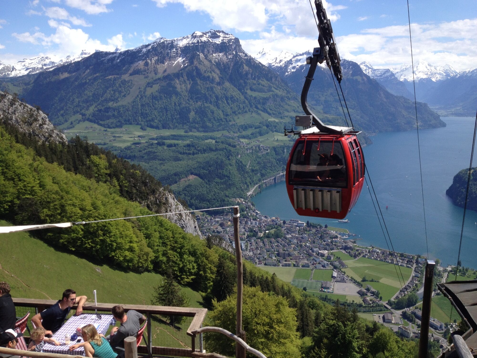
Lake Lucerne
- Public transportation
-
Brunnen lies on the most important north-south railway axis and benefits from excellent connections with the rest of the Swiss Federal Railways network. Excellent rail links.
Insider's tip: take the bike on the boat and enjoy the trip on Lake Lucerne to Brunnen.
-

-
AuthorThe tour Rigi Tour - SwitzerlandMobility Route 963 is used by outdooractive.com provided.


General info
-
Schwyz
192
-
Erlebnisregion Mythen
95
-
Lauerz
34