
- Difficulty
-
medium
- Rating
-
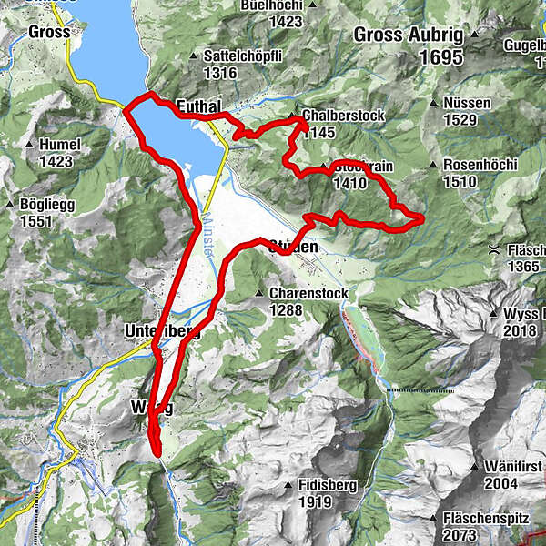
- Route
-
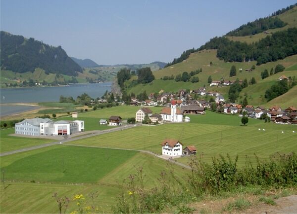
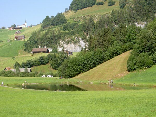
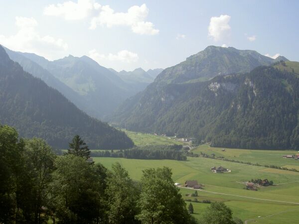
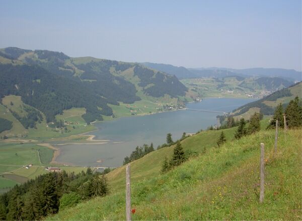
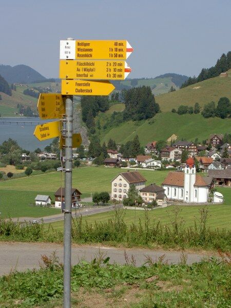
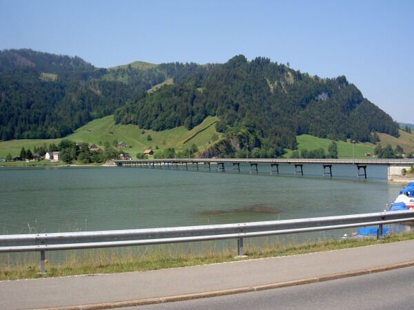
UnteribergWaag1.1 kmUnteriberg4.3 kmFriedhofkapelle7.4 kmStuden7.6 kmRestaurant Sportstübli7.6 kmDuli11.7 kmStockrain (1,410 m)13.9 kmEuthal18.7 kmSteinbach20.5 kmRestaurant Sternen24.5 kmUnteriberg25.4 km
- Best season
-
JanFebMarAprMayJunJulAugSepOctNovDec
- Highest point
- 1,380 m
- Endpoint
-
Unteriberg
- Height profile
-
 © outdooractive.com


- Author
-
The tour Wisstannen-Tour is used by outdooractive.com provided.
GPS Downloads


Other tours in the regions
-
Schwyz
196
-
Einsiedeln-Ybrig-Zürichsee
79
-
Unteriberg
28