
- Difficulty
-
difficult
- Rating
-
- Route
-
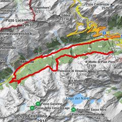
Andermatt (1,436 m)Andermatt (1,447 m)0.4 kmPass Tiarms (2,148 m)11.9 kmTschamut17.2 kmMilez20.6 kmAndermatt (1,447 m)39.2 kmAndermatt (1,436 m)39.6 km
- Best season
-
JanFebMarAprMayJunJulAugSepOctNovDec
- Description
-
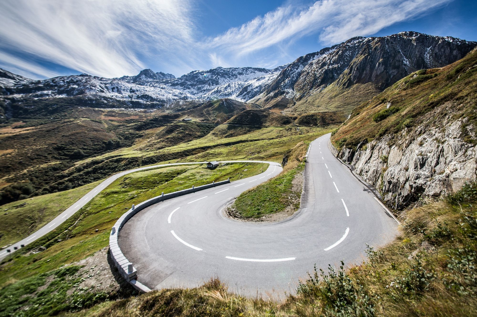
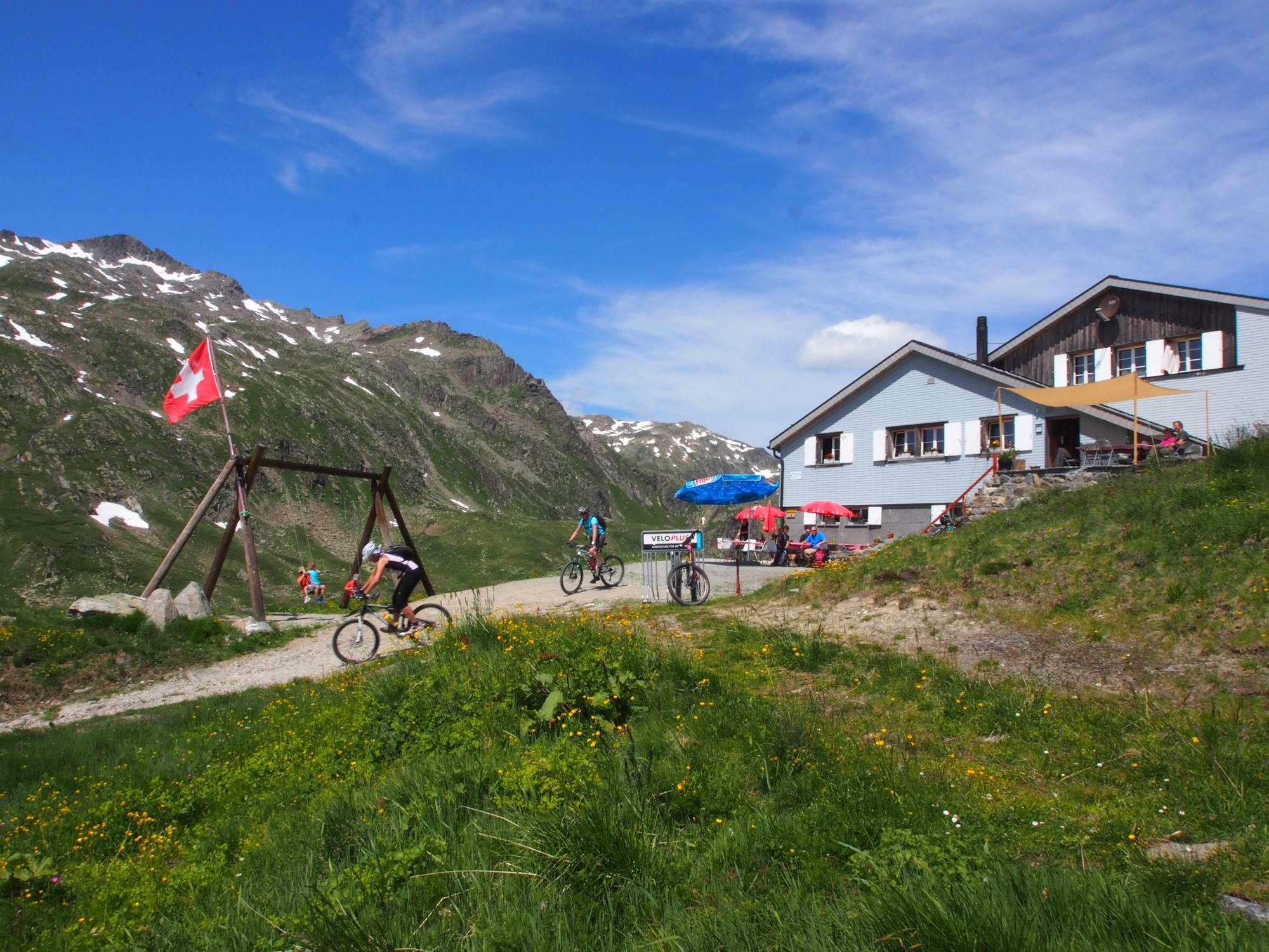
The setting off point for the MTB route over the Maighels Pass is Andermatt. From there, it follows the pass road to the Oberalp Pass. If you are following the standard route, you leave the road at the Oberalp Pass and head for the Tiarms Pass via Val Val back, then descend to Tschamut. You then take the pass road back up to Surpalits then Milez before following an unpaved road. This ascends gently into the Maighels valley, where the Maighelshütte refuge can be spotted up on the left-hand flank. Tip: the route to here can be shortened by bypassing Tiarms Pass and Tschamut and heading straight for Surpalits from the Oberalp Pass: this involves two kilometres of downhill on the pass road.
In the Maighels valley, the unpaved road gradually turns into a footpath (with possible expanses of snow in the spring). At the Maighels Pass you have views of mountains including the Gemsstock, Pizzo Centrale and Giübin. If drinking cold water fails to slake your thirst, why not try a dip in the little lake here?
After the Maighels Pass comes a steep, challenging descent to the Unteralp valley. During the descent, you can see the Vermigelhütte refuge, although reaching it involves another ascent. Otherwise take the unpaved road along the Unteralpreuss straight back to Andermatt.
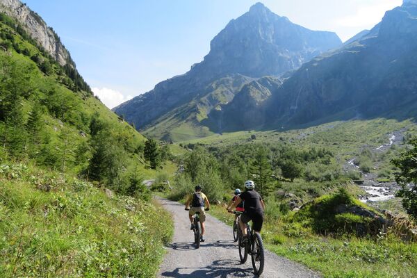
All in all, this fabulous alpine MTB tour through an imposing mountainscape calls for a degree of riding prowess. - Highest point
- 2,415 m
- Endpoint
-
Andermatt
- Height profile
-
 © outdooractive.com
 - Safety instructions
-
This tour includes sections where the bike will have to be pushed or carried, especially in the area around the Maighels Pass: between 10 and 45 minutes, depending on your level of expertise.
Due to its challenging sections, this route should be negotiated only when it is dry.
- Tips
-
Option A: shortcut along the pass road from the Oberalp Pass to Surpalits.
Option B: direct link via variant A on a challenging track (includes having to carry the bike for 5-10 min.) from the Oberalp Pass to Tgatlems. Please take care: numerous walkers!
Option C: take the train to the Oberalp Pass.
- Author
-
The tour Maighels Pass is used by outdooractive.com provided.