- Brief description
-
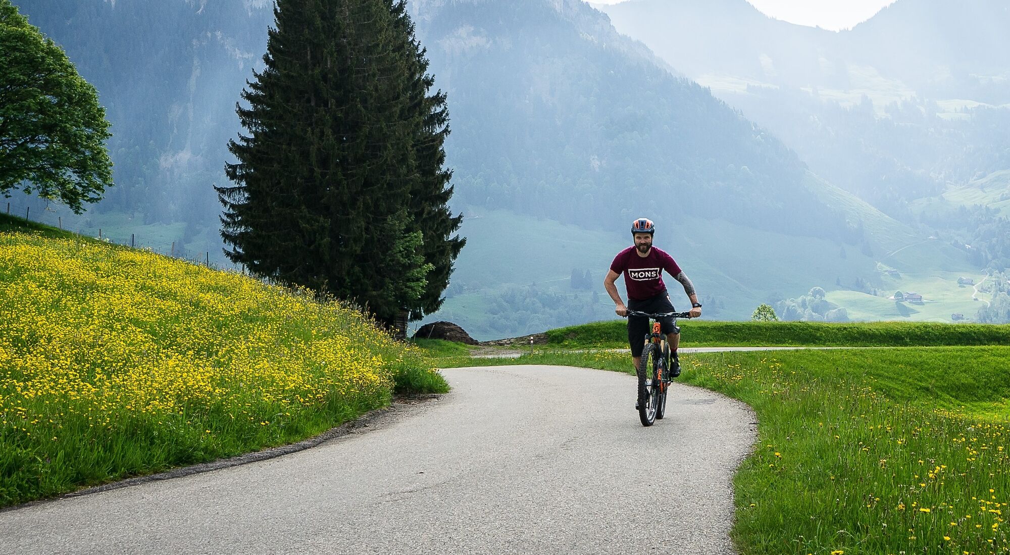
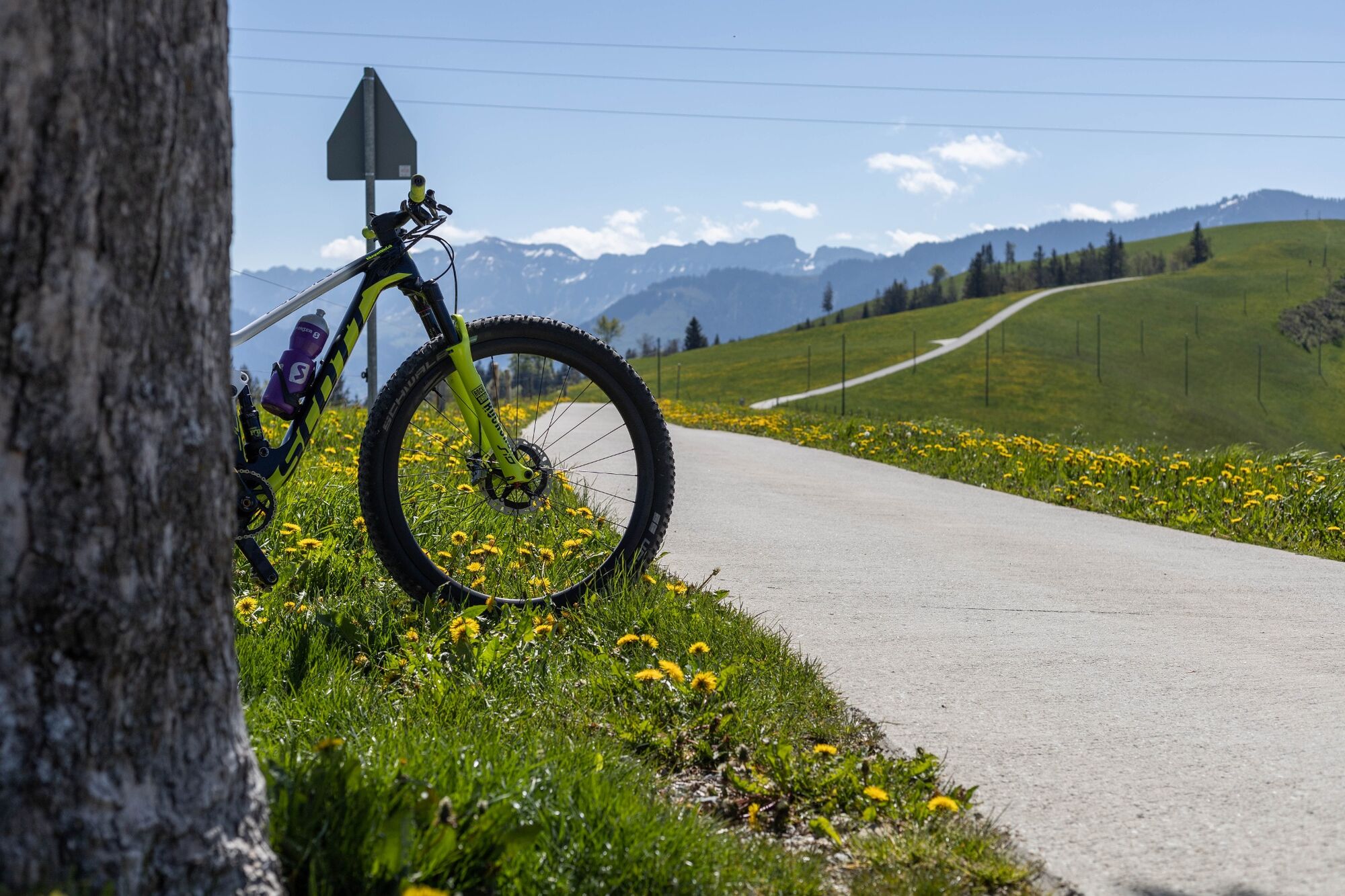
MTB tour over the hills of the Entlebuch and Emmental.
- Difficulty
-
easy
- Rating
-
- Starting point
-
Escholzmatt railway station
- Route
-
Escholzmatt (858 m)Bahnhof0.1 kmTellenmoos3.7 kmRotegg (1,246 m)11.0 kmNeumattwald15.0 kmNeumatt15.5 kmFankhaus (Trub)15.8 kmRiedgut18.0 kmSandgrabe18.1 kmRied18.1 kmSchweidboden18.2 kmTrub19.4 kmLandgasthof Sternen19.6 kmLängengrund20.7 kmTrubschachen22.7 kmRisisegg Schindel28.5 kmTurner (1,215 m)31.0 kmHöch (1,227 m)32.5 kmOber Bödili32.9 kmLängegg34.1 kmHinter Lombach35.0 kmHinder Lombach35.1 kmEscholzmatt (858 m)36.6 kmSt. Jakob36.7 kmLandgasthof Krone36.7 kmWasserscheide Kleine Emme/Ilfis (857m)36.7 kmEscholzmatt (853 m)36.9 km
- Best season
-
JanFebMarAprMayJunJulAugSepOctNovDec
- Description
-
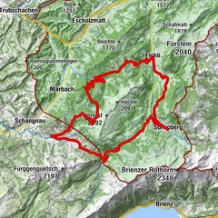
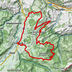
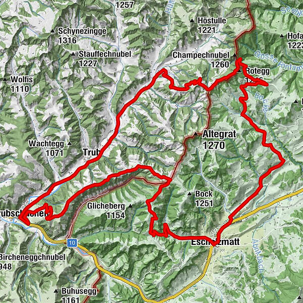
This Napf mountains tour starts by climbing via Vordergraben to the Chrüzbode, where you encounter your first views of the Emmental hills. The turn-off to the Napf, the highest of the Emmental's hills, is between Ober Stutz and Fankhus: a detour to the Napf is worth it for the glorious views and the tasty rösti at the local restaurant. You then return to the Trub valley via Fankhus, past the Kambly biscuit factory and Trubschachen, then cross the Risisegg and return to Escholzmatt.
- Directions
-
Escholzmatt - Bodematte - Vordergrabe - Mittlisthütte - Ahornebode Champechnubel - Ober Stutz - Neubruch - Fankhus - Trub - Trubschachen - Risisegg - Turner - Höch - Bödili - Escholzmatt
- Highest point
- 1,217 m
- Endpoint
-
Escholzmatt railway station
- Height profile
-
 © outdooractive.com
 - Tips
-
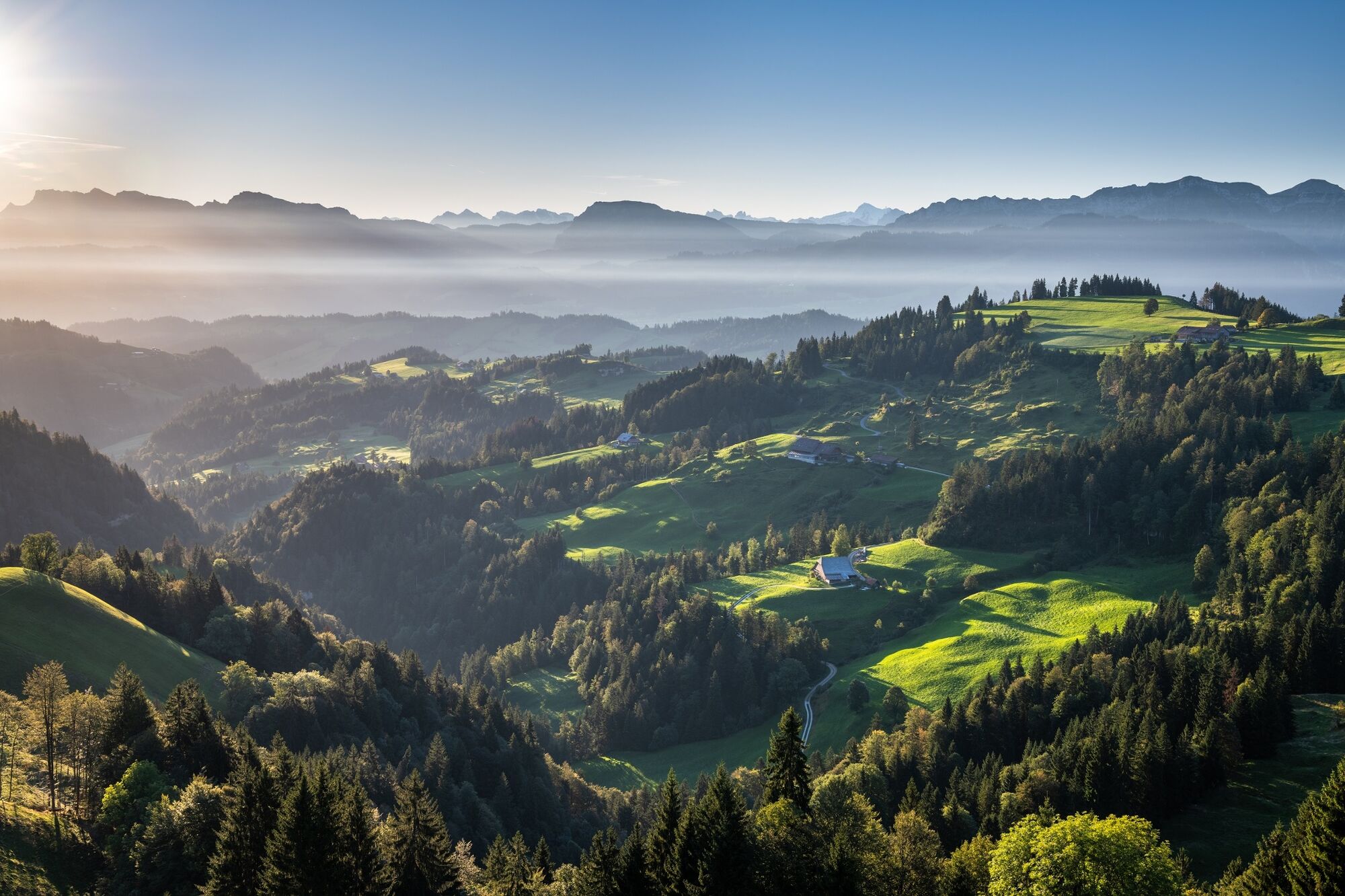
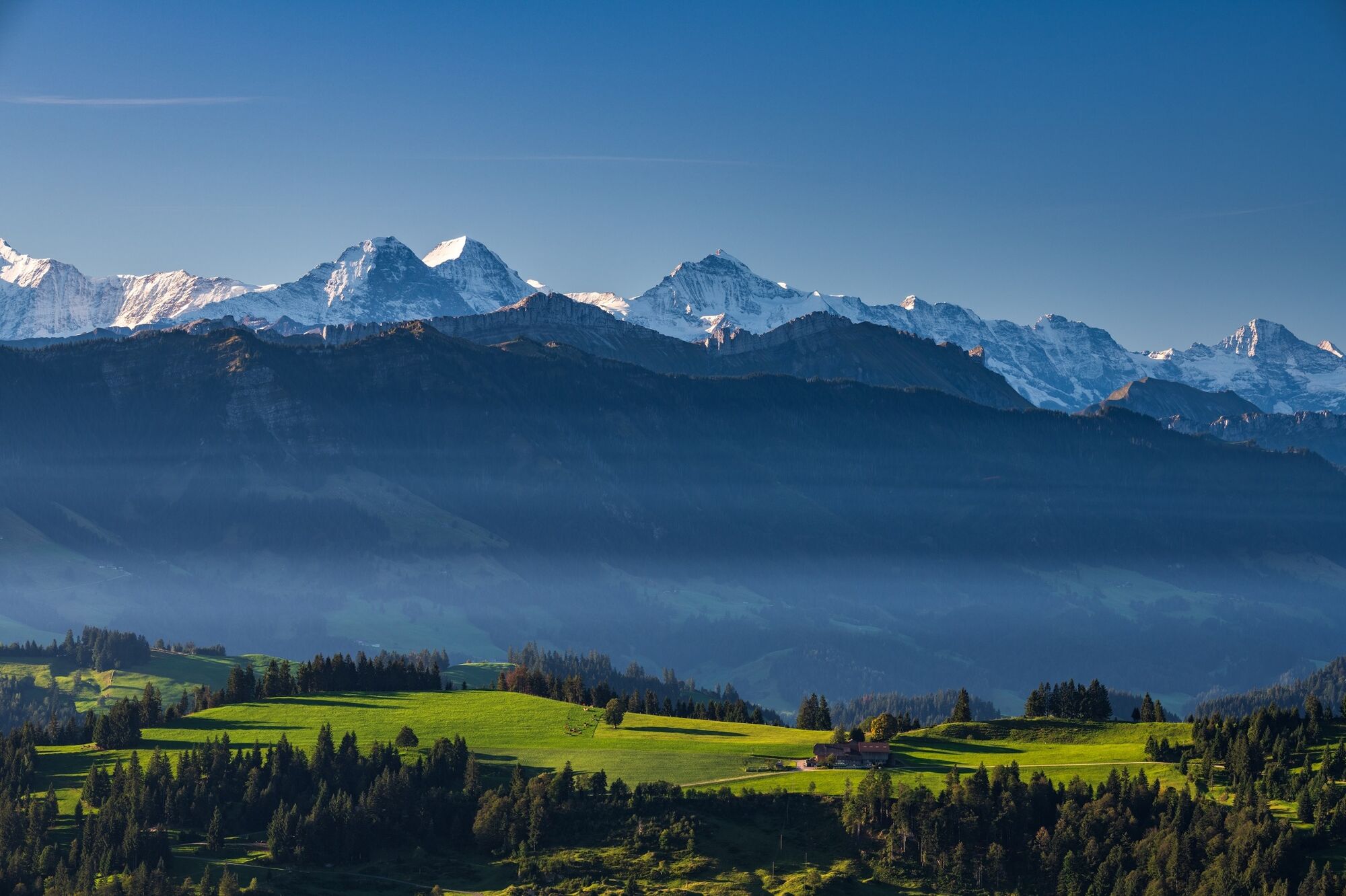
The short yet very steep ascent of the Napf is worth the effort owing to the all-round views.
Magnificent panoramas on the Chrüzbode, Risisegg and Glichenberg encompassing the Emmental hills and Central Swiss Prealps.
Drop in at the Kambly biscuit factory in Trubschachen.
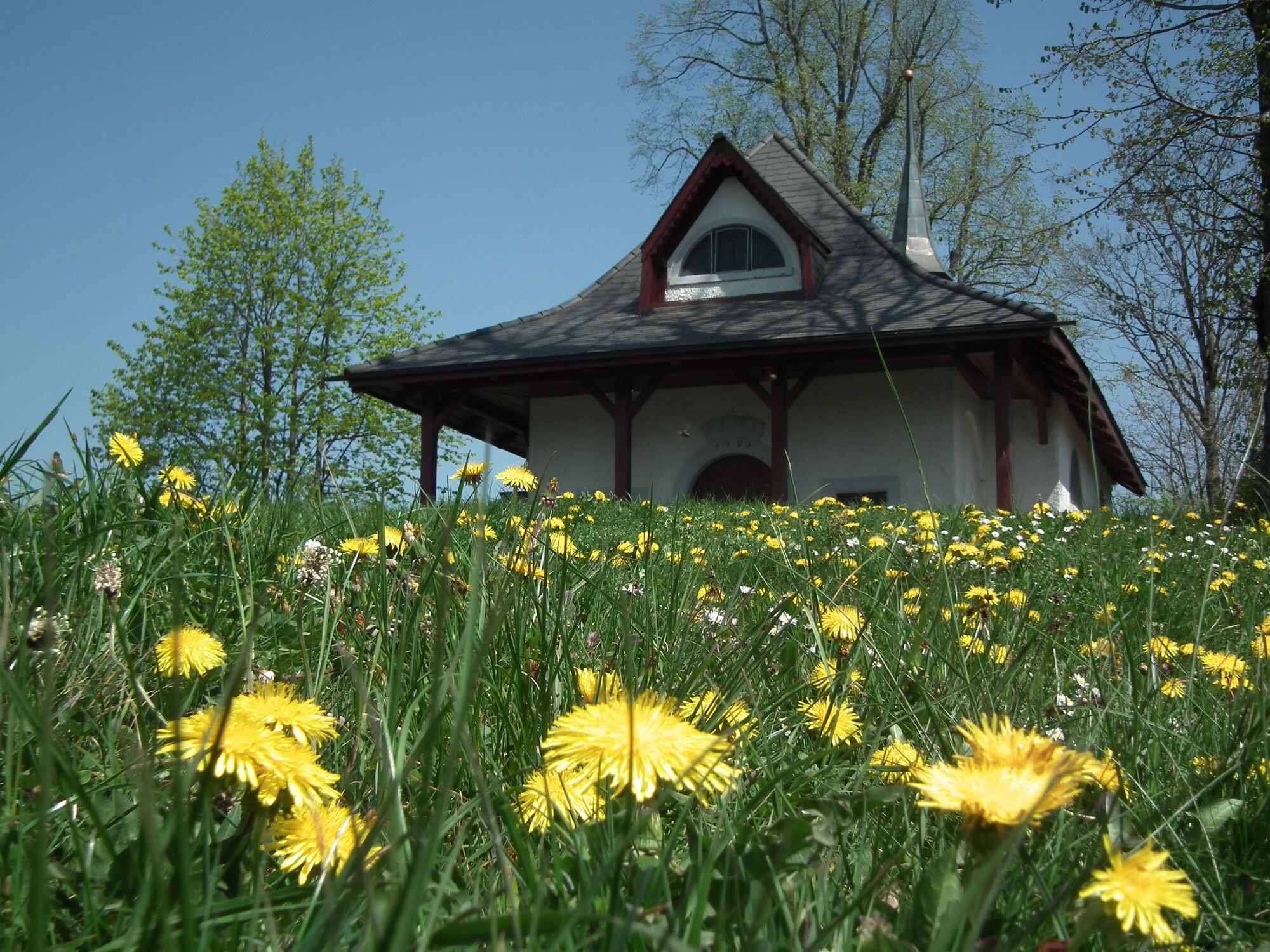
Detour from the Bödili to Schwendelberg chapel.
Visit the Escholzmatt herb garden.
Exceptional evening meal courtesy of the "culinary wizard" chef at the Gasthof Rössli in Escholzmatt. - Additional information
- Directions
-
The UNESCO Biosphere Entlebuch is centrally located in the heart of Switzerland between the major tourist destinations of Bern and Lucerne.
- Public transportation
-
Train from Bern or Lucerne to Escholzmatt.
- Parking
-
Fee-paying car parking at Escholzmatt station.
-

-
AuthorThe tour Napf mountains MTB tour is used by outdooractive.com provided.


General info
-
Obwalden
170
-
UNESCO Biosphäre Entlebuch
43
-
Trub
9