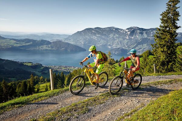

- Brief description
-
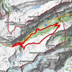
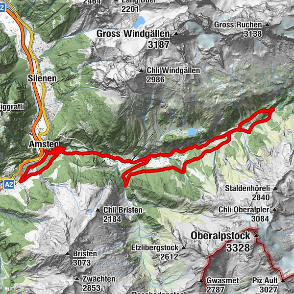
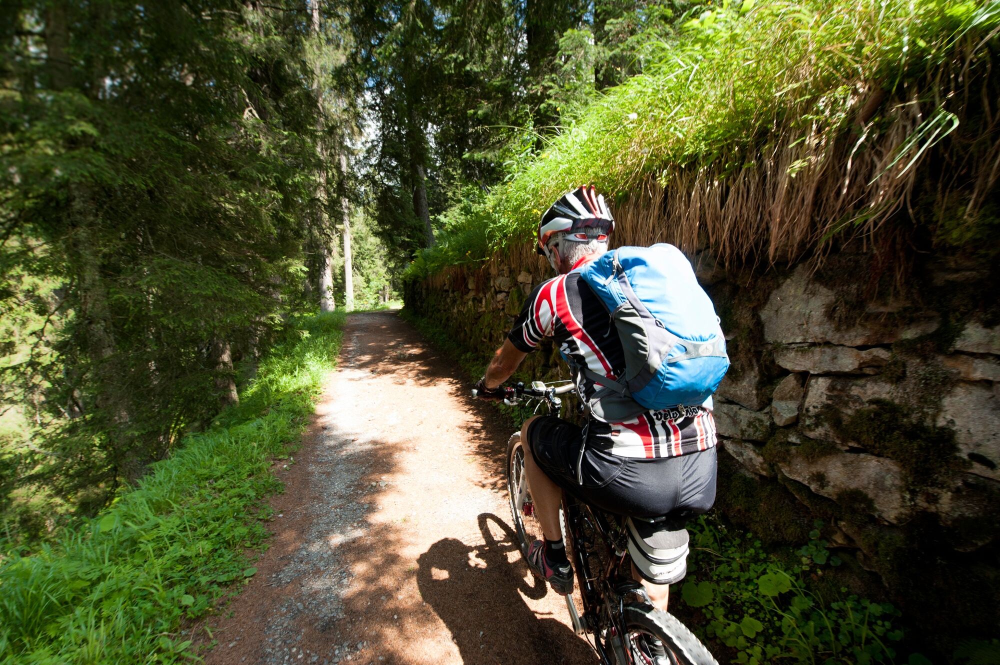
Explore one of Uri’s most popular hiking and MTB destinations. The Maderaner – a wild and romantic valley of tumbling streams and cascading waterfalls. The goal of this tour is the historical SAC Hotel Maderanertal.
- Difficulty
-
medium
- Rating
-
- Starting point
-
Amsteg
- Route
-
AmstegStern Post0.0 kmHirschen0.1 kmKränzlistein0.2 kmAlpenblick3.1 kmBristen3.2 kmPfarrkirche Maria zum Guten Rat3.2 kmGolzern4.9 kmAlpenkiosK Maderanertal4.9 kmLegni6.7 kmStössialp8.8 kmHotel Maderanertal10.6 kmStössialp13.3 kmGolzern20.7 kmAlpenkiosK Maderanertal20.7 kmBristen22.3 kmPfarrkirche Maria zum Guten Rat22.3 kmAlpenblick22.4 kmSchiltwald23.8 kmKohlplatz26.8 kmMühlemätteli26.9 kmHirschen27.0 kmStern Post27.0 kmAmsteg27.0 km
- Description
-
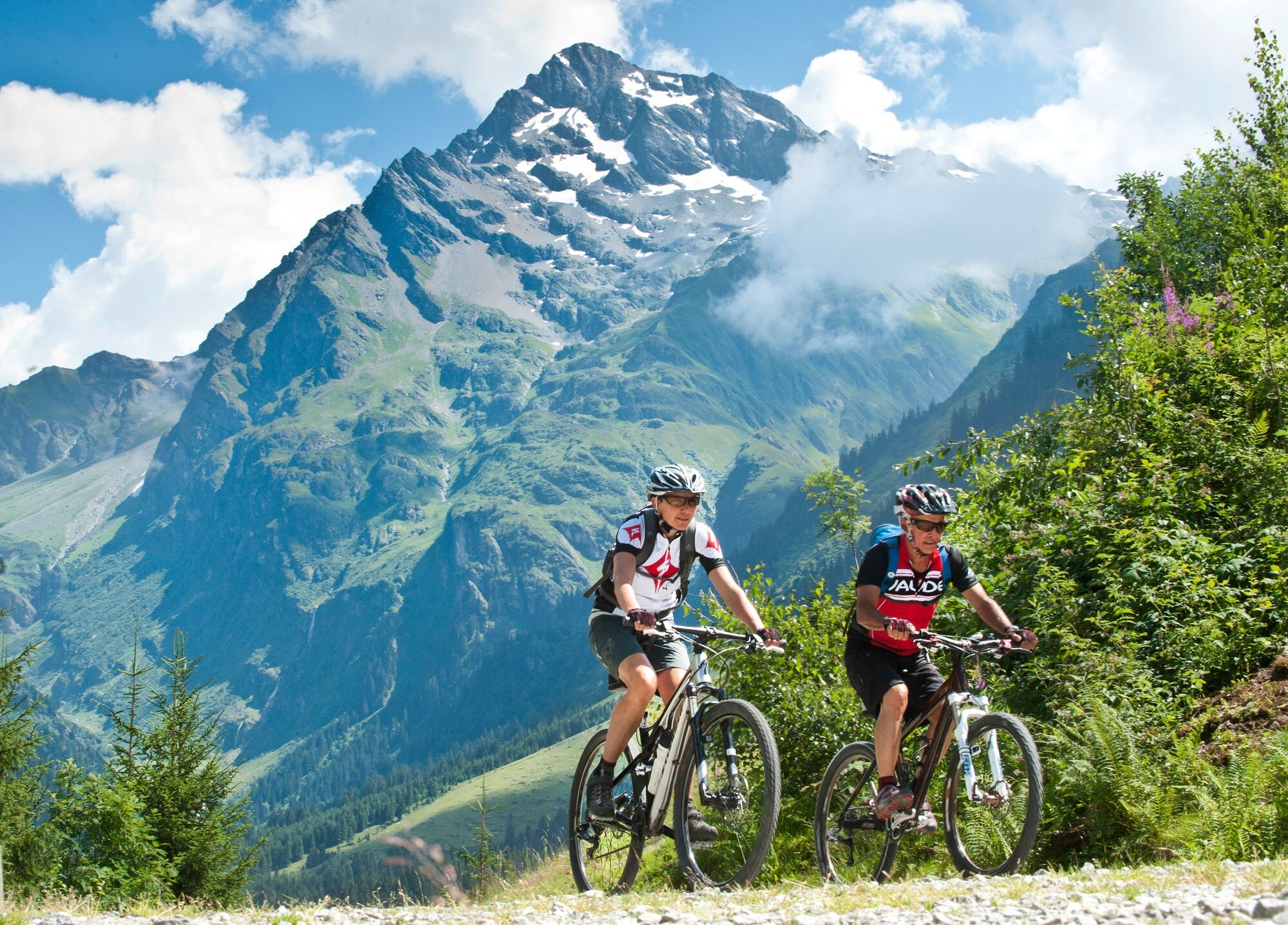
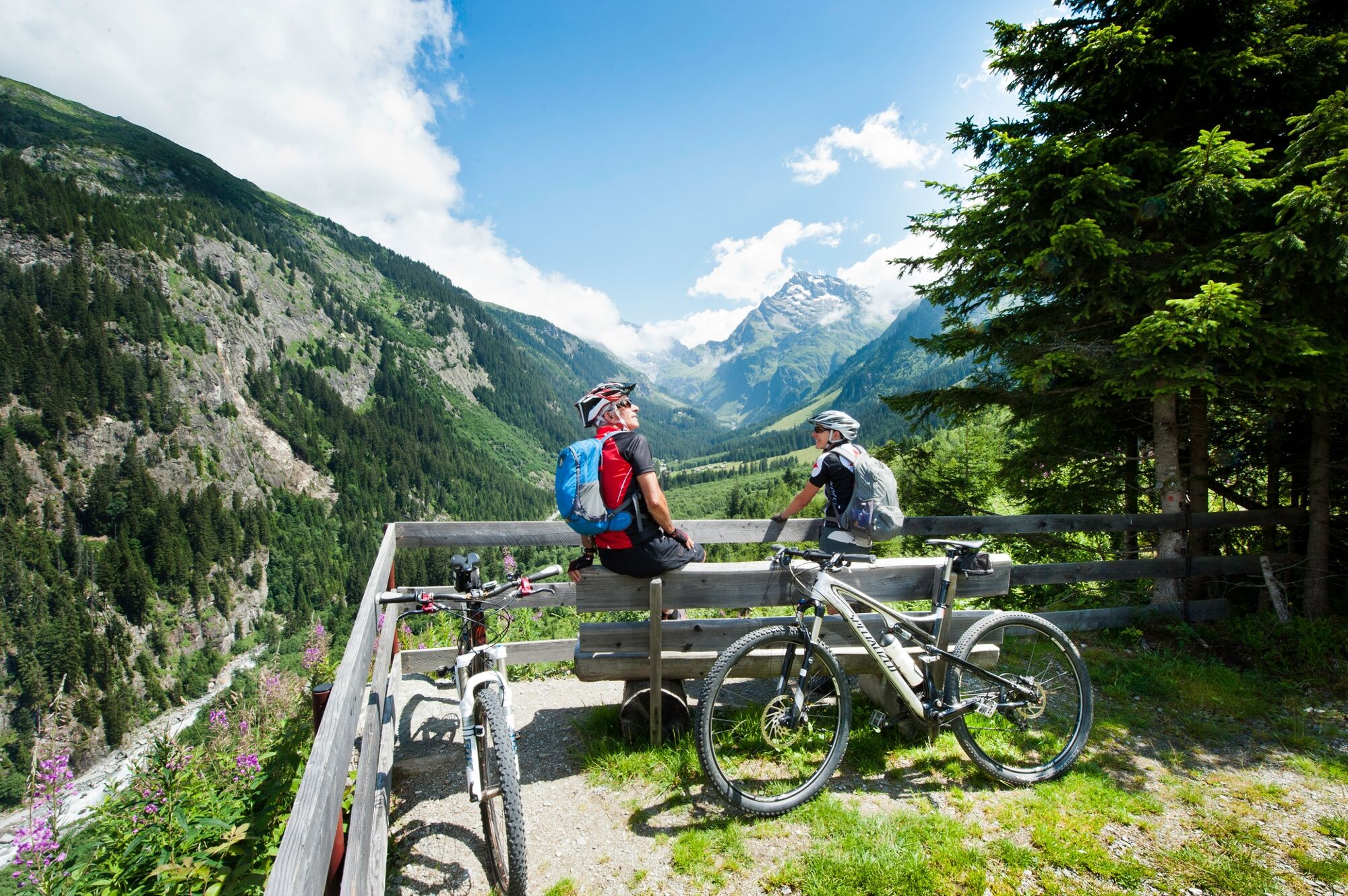
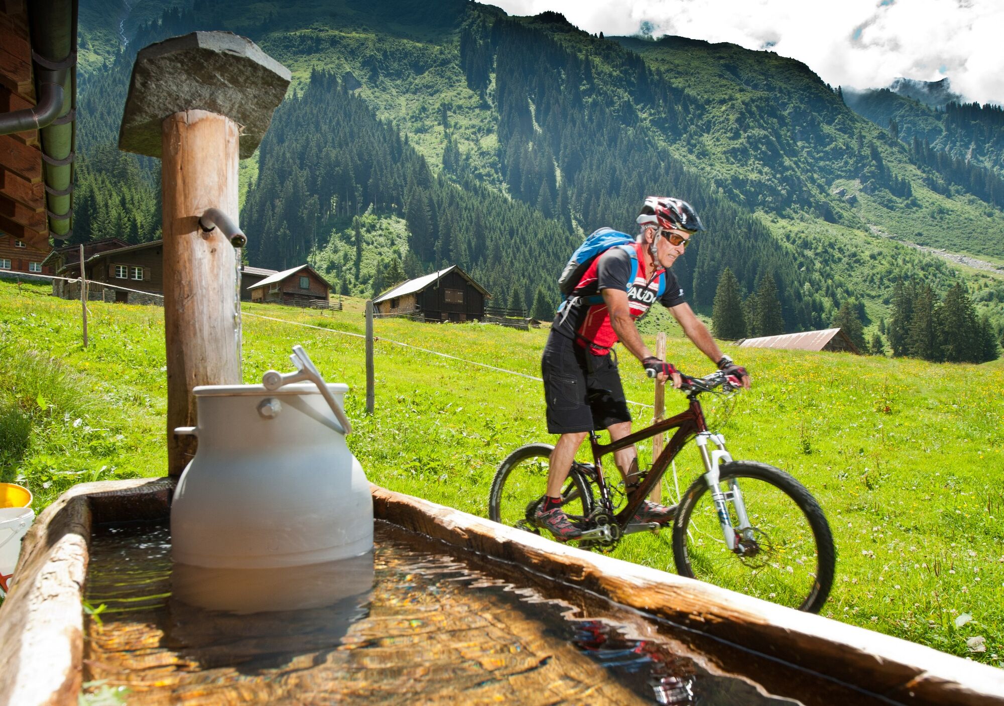
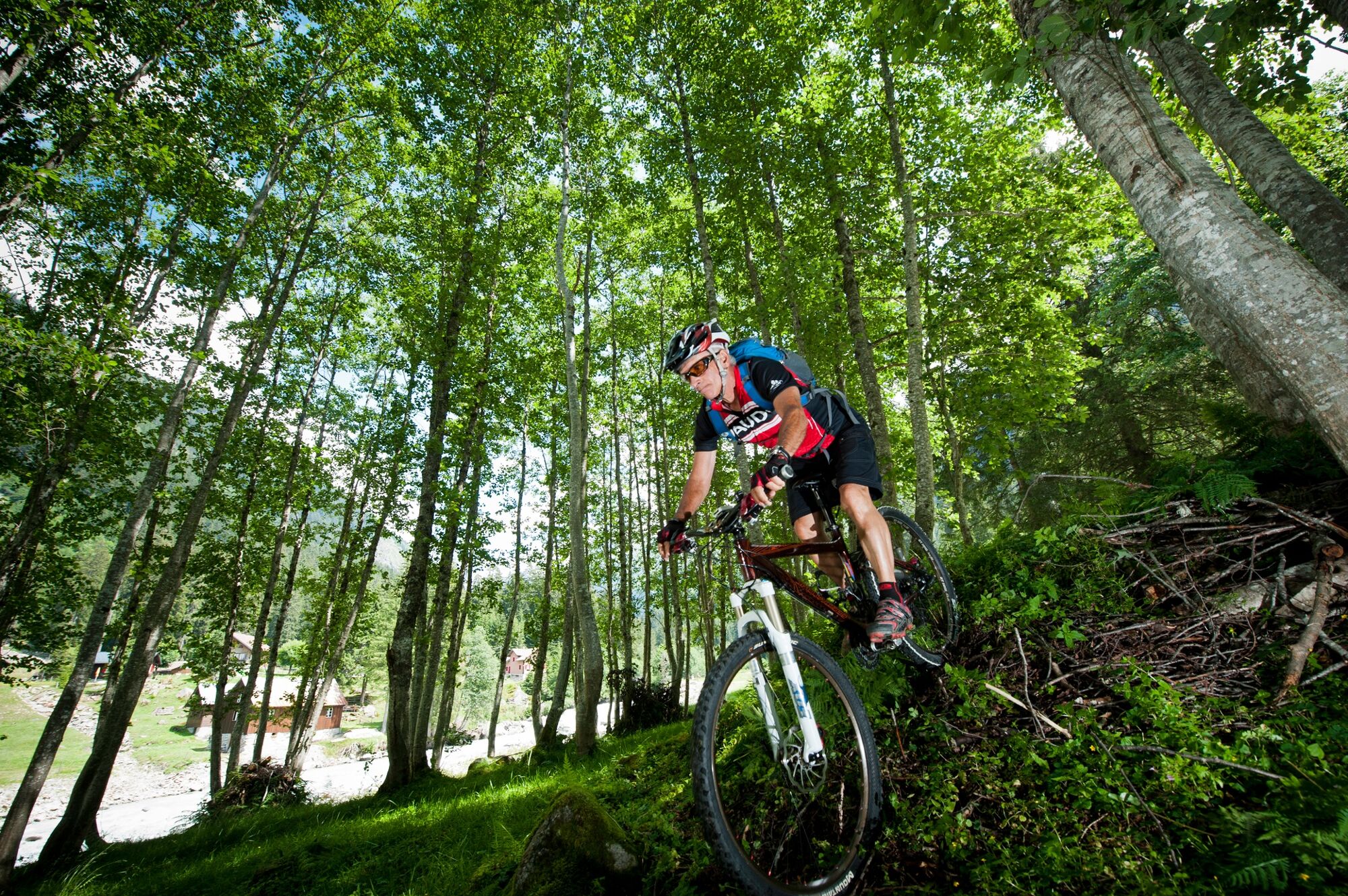
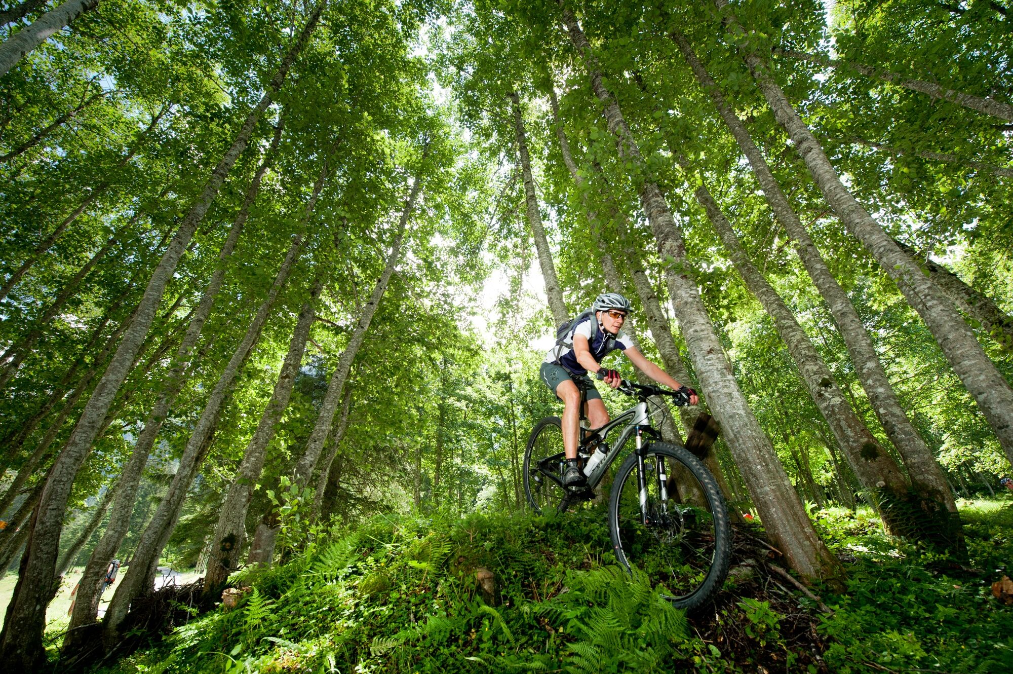
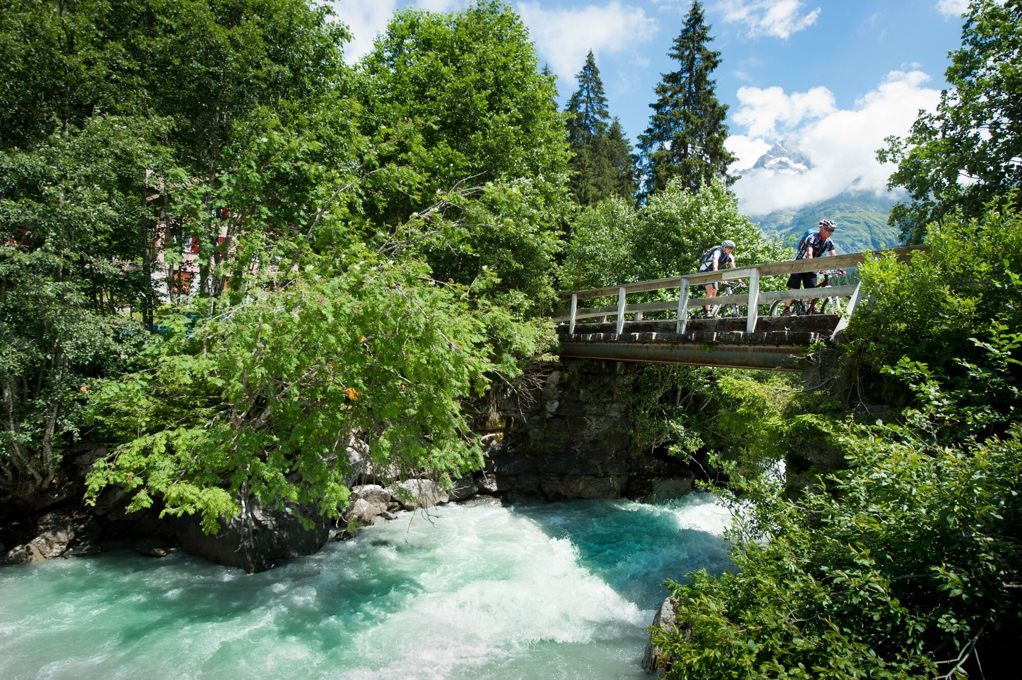
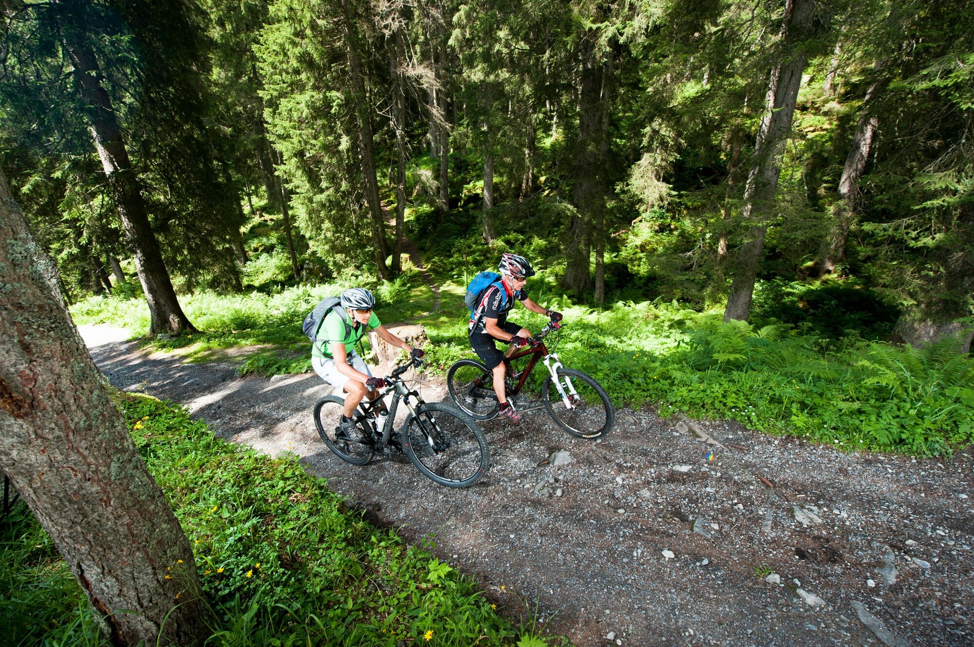
From Amsteg, the first leg of the tour follows the asphalt road to the village of Bristen. Featuring hairpin bends and in part carved out of the rock, the road snakes its way upwards, allowing you to catch glimpses of the valley below. The subsequent stretch between Bristen and the lower terminus of the Golzern aerial cableway is relatively flat. Following the Chärstelen stream, the unpaved road climbs steadily to reach the homely Restaurant Lägni. The tour takes you further through woodland and fragrant alpine meadows, the sound of the stream constantly in your ears. The SAC Hotel Maderanertal, which stems from the golden age of mountaineering, welcomes visitors with traditional hospitality and wonderful views of the valley. The return leg of the tour leads past Alp Butzli: a visit to idyllic Lake Butzli is well worth your while! A single trail featuring technically demanding passages brings you to Guferen, then Alp Stössi with its superb alp cheese. Your return to the lower terminus of the Golzern aerial cableway is via Herenlimi. At St. Anton you head for Vorder Ried and end on the attractive single trail back to Amsteg.
Tip(s)
The tour is waymarked no. 412 throughout.
- Directions
-
Amsteg - Golzern cableway lower terminus - Lägni - Alp Stössi - Balmenegg Hotel Maderanertal - Gufern - Alp Stössi - Heimchuerütti - Golzern cableway lower terminus - Bristen - St. Anton - Vorder Ried - Amsteg
- Highest point
- 1,354 m
- Endpoint
-
Amsteg
- Height profile
-
 © outdooractive.com
 - Public transportation
-
Train to Erstfeld. Then take the Göschenen bus to the “Post” stop in Amsteg.
-

-
AuthorThe tour Maderaner Valley Bike - 412 SwitzerlandMobility is used by outdooractive.com provided.


General info
-
Uri
198
-
Urner Unterland
115
-
Silenen – Amsteg – Bristen
28