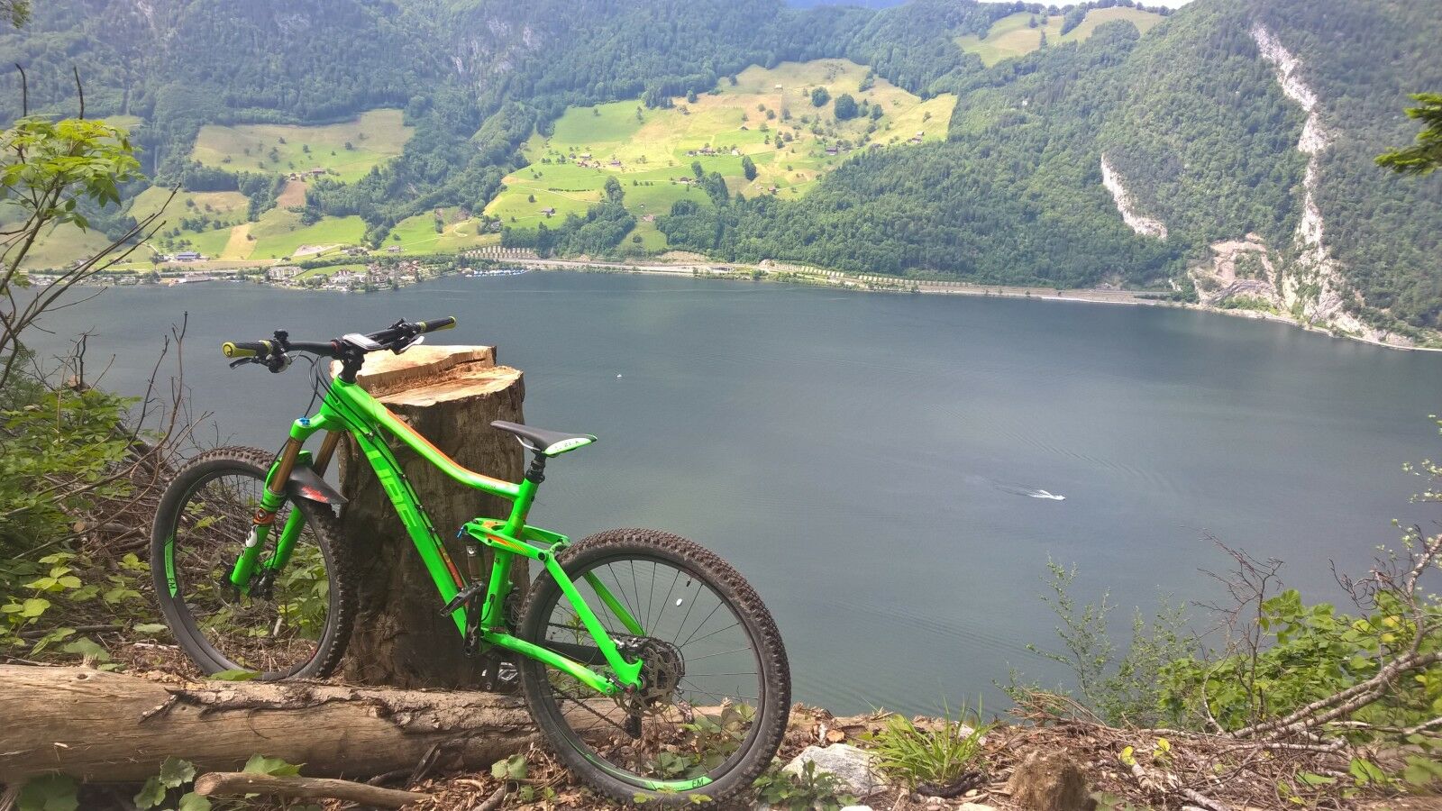
© allmountain - Marc Schürmann

© allmountain - Marc Schürmann

- Difficulty
-
difficult
- Rating
-
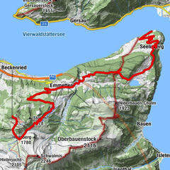
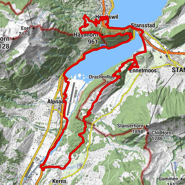
- Route
-
Städerried0.5 kmAlpnach (542 m)2.2 kmHirseren8.6 kmZingel (829 m)15.8 kmDrachenflue (860 m)16.2 kmEnnetmoos (521 m)20.1 kmBetti20.1 kmRotzloch20.6 kmOeli21.5 kmStansstad (438 m)22.6 kmStansstad (436 m)22.9 kmAcheregg23.3 kmHergiswil NW (449 m)25.7 kmMaria zum guten Rat25.7 kmKatholische Kirche St. Nikolaus25.8 kmZusen27.7 kmSeeblick29.9 kmHüsli29.9 kmRengg-Kapelle30.7 kmRenggkapelle30.7 kmHaslihorn (961 m)32.3 kmHauetli38.5 kmAlpnachstad (See) (436 m)40.2 km
- Best season
-
JanFebMarAprMayJunJulAugSepOctNovDec
- Highest point
- 888 m
- Height profile
-
 © outdooractive.com

-

-
AuthorThe tour Alpnachersee Umrundung is used by outdooractive.com provided.
GPS Downloads


Other tours in the regions
-
Nidwalden
187
-
Klewenalp-Vierwaldstaettersee
110
-
Hergiswil
15