Alpenkranz 40. Etappe: Spannorthütte -Surenenpass - Brüsti

long-distance walking trail

© Verein Urner Wanderwege - Markus Fehlmann

© Verein Urner Wanderwege - Sanna Laurén

© Verein Urner Wanderwege - Markus Fehlmann

© Verein Urner Wanderwege - Markus Fehlmann

© Verein Urner Wanderwege - Markus Fehlmann

© Verein Urner Wanderwege - Markus Fehlmann

© Verein Urner Wanderwege - Markus Fehlmann

- Brief description
-
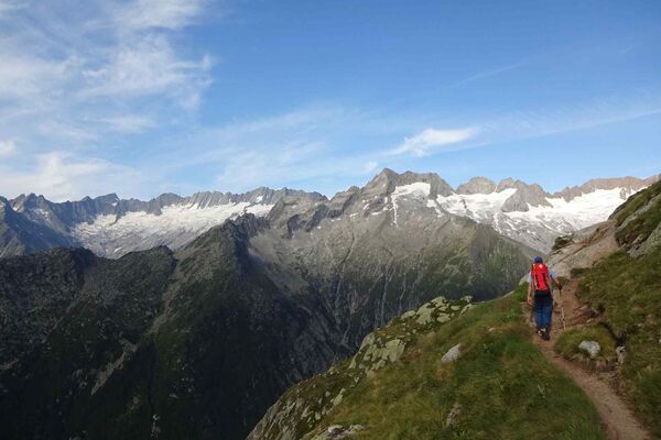
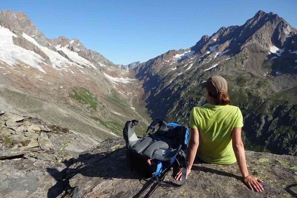
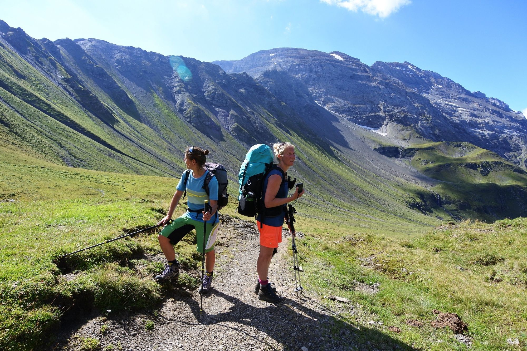
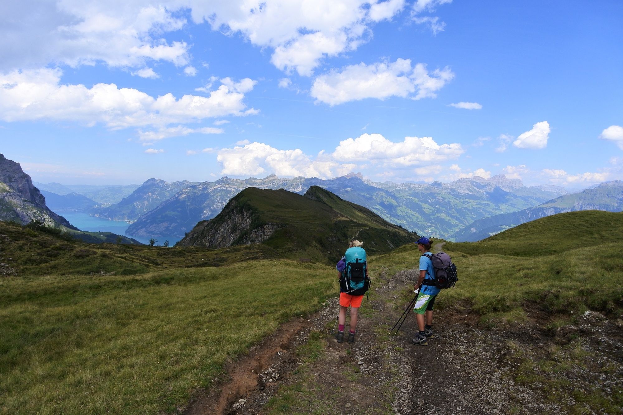
Ungeheurer Steil schiesst aus dem Geröll über den Spannorthütte die nahezu 800 Meter hohe und einen Kilometer breite Schlossberg-Südwestwand in die Höhe. Die letzte Etappe des Urner Alpenkranzes kombiniert einen anspruchsvollen Hüttenabstieg von Spannort mit einer gemütlichen Wanderung mit schönen Aussichten über die Urner Alpen.
- Difficulty
-
medium
- Rating
-
- Route
-
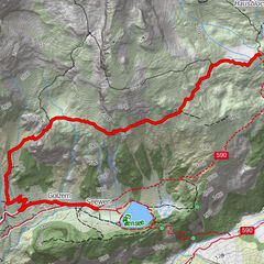
Spannorthütte SAC0.0 kmBerggasthaus Stäfeli1.8 kmStäfeli1.8 kmTritt2.5 kmStäuberfall II3.6 kmStäuberfall I3.6 kmBlackenalp5.4 kmRüteli13.8 kmAlp Catrina13.8 km
- Best season
-
JanFebMarAprMayJunJulAugSepOctNovDec
- Highest point
- 2,280 m
- Endpoint
-
Brüsti
- Height profile
-
 © outdooractive.com


-
-
AuthorThe tour Alpenkranz 40. Etappe: Spannorthütte -Surenenpass - Brüsti is used by outdooractive.com provided.
GPS Downloads


General info
Refreshment stop
Cultural/Historical
Flora
A lot of view
Other tours in the regions
-
Uri
1544
-
Urner Unterland
862
-
Isenthal
293