


- Brief description
-
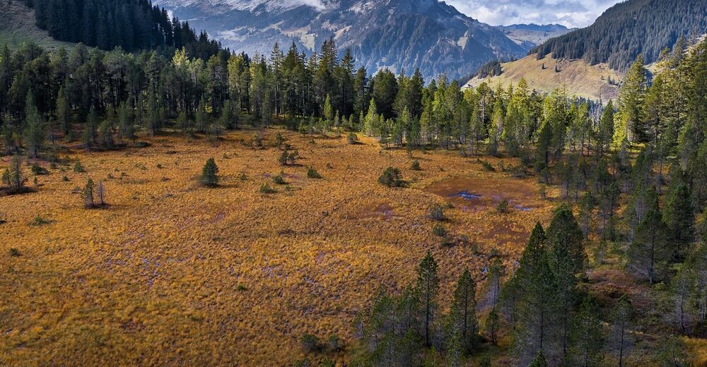
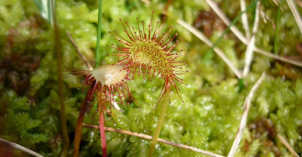
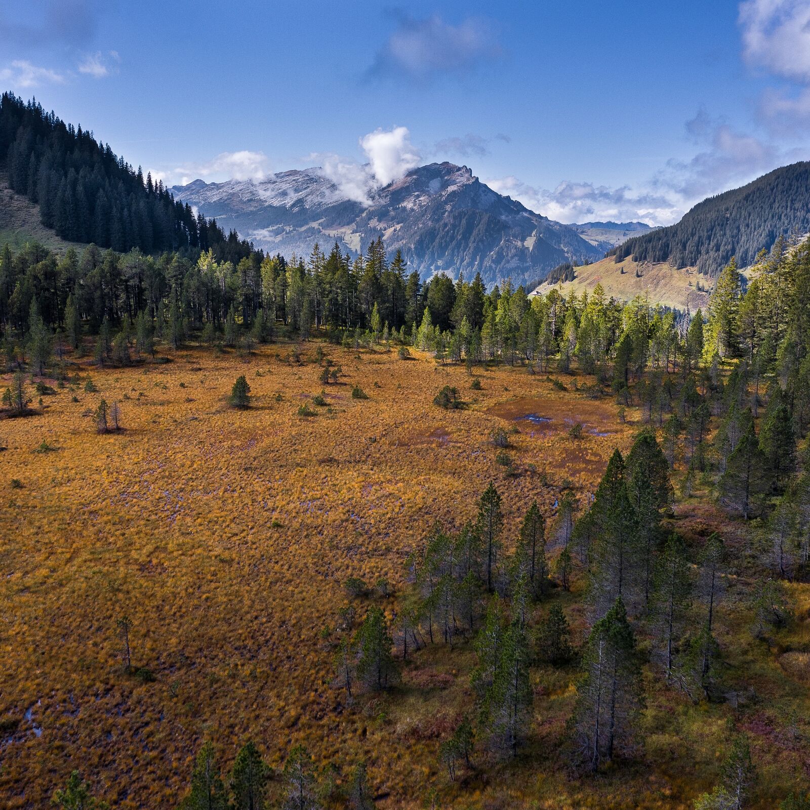
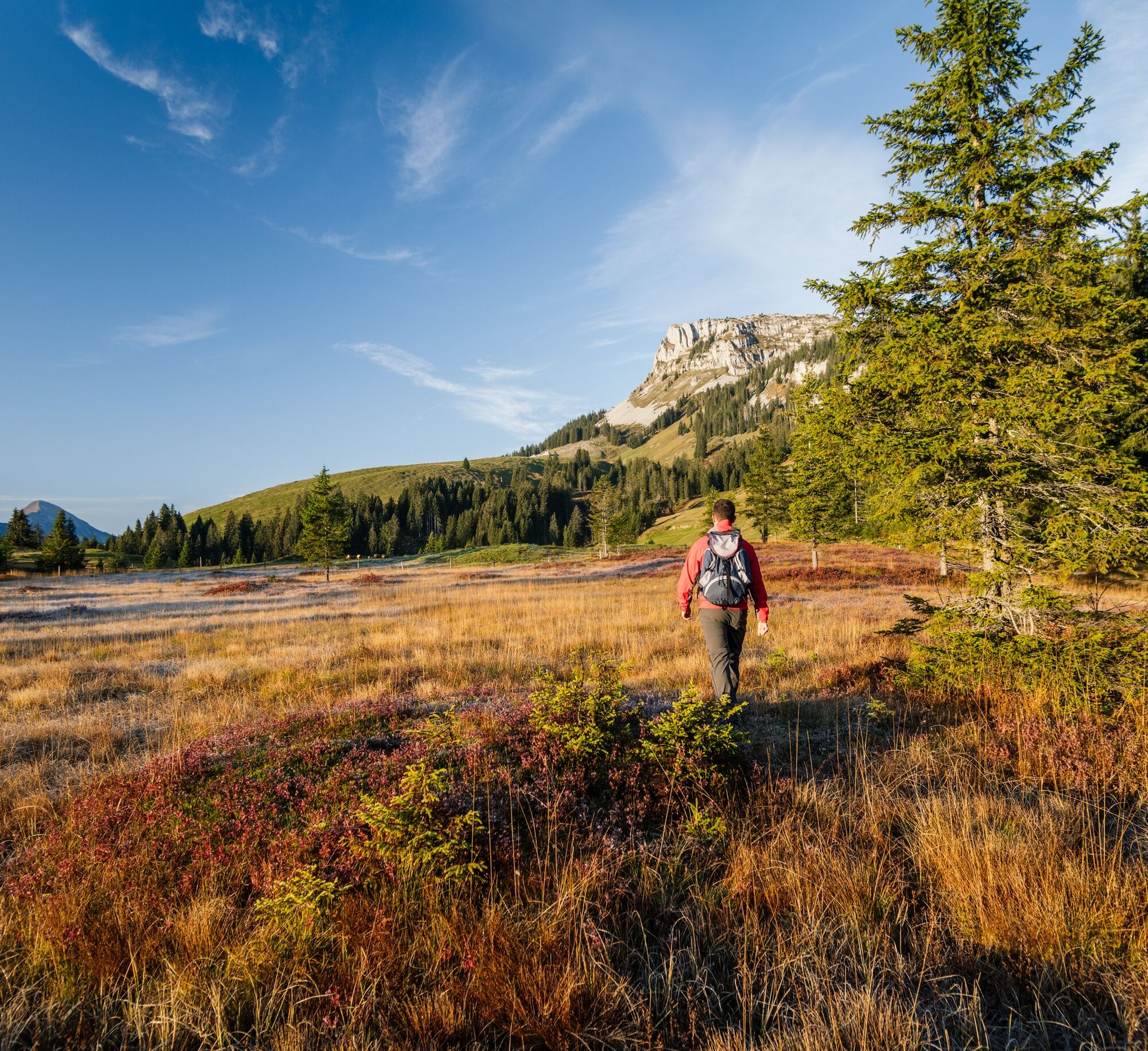
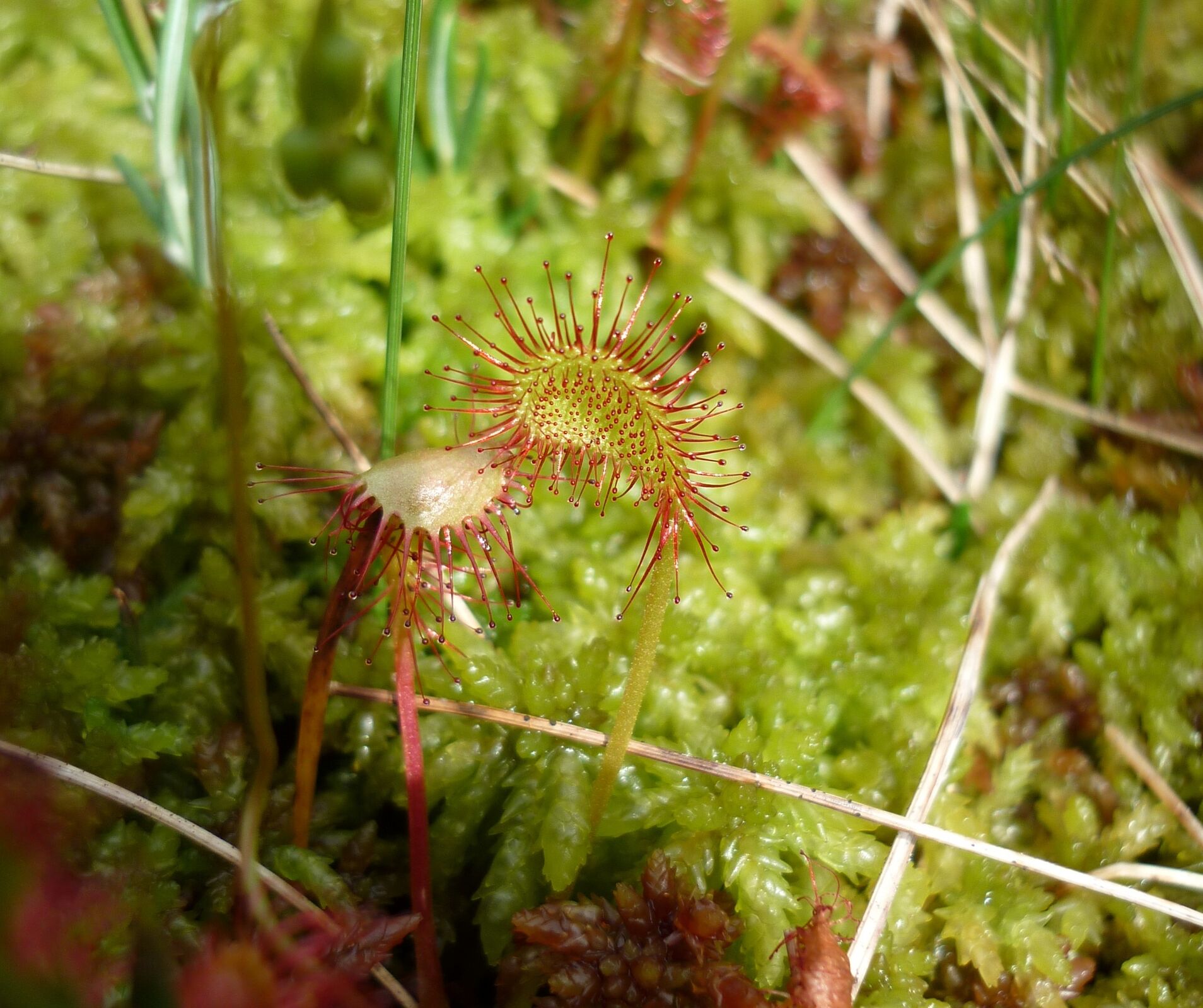
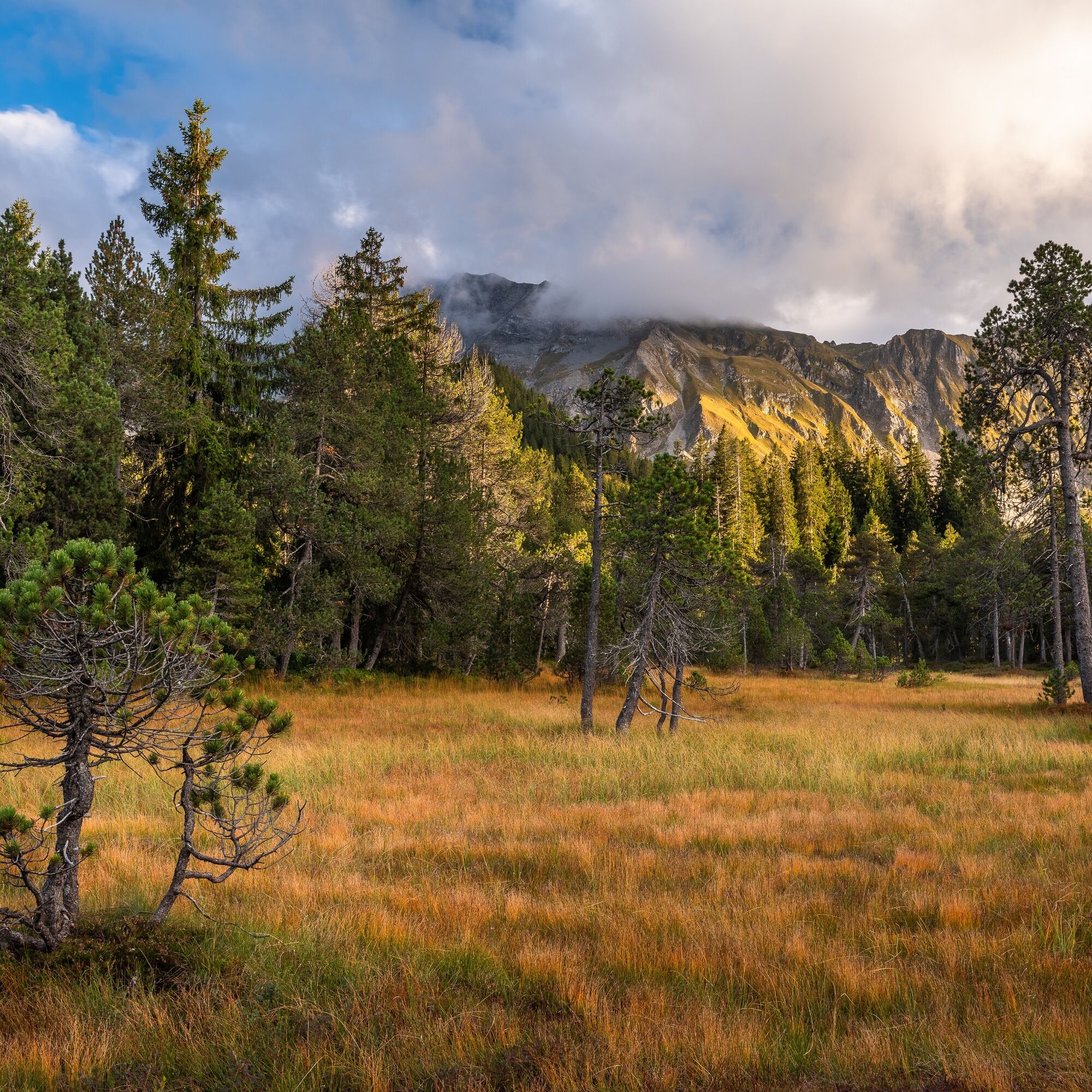
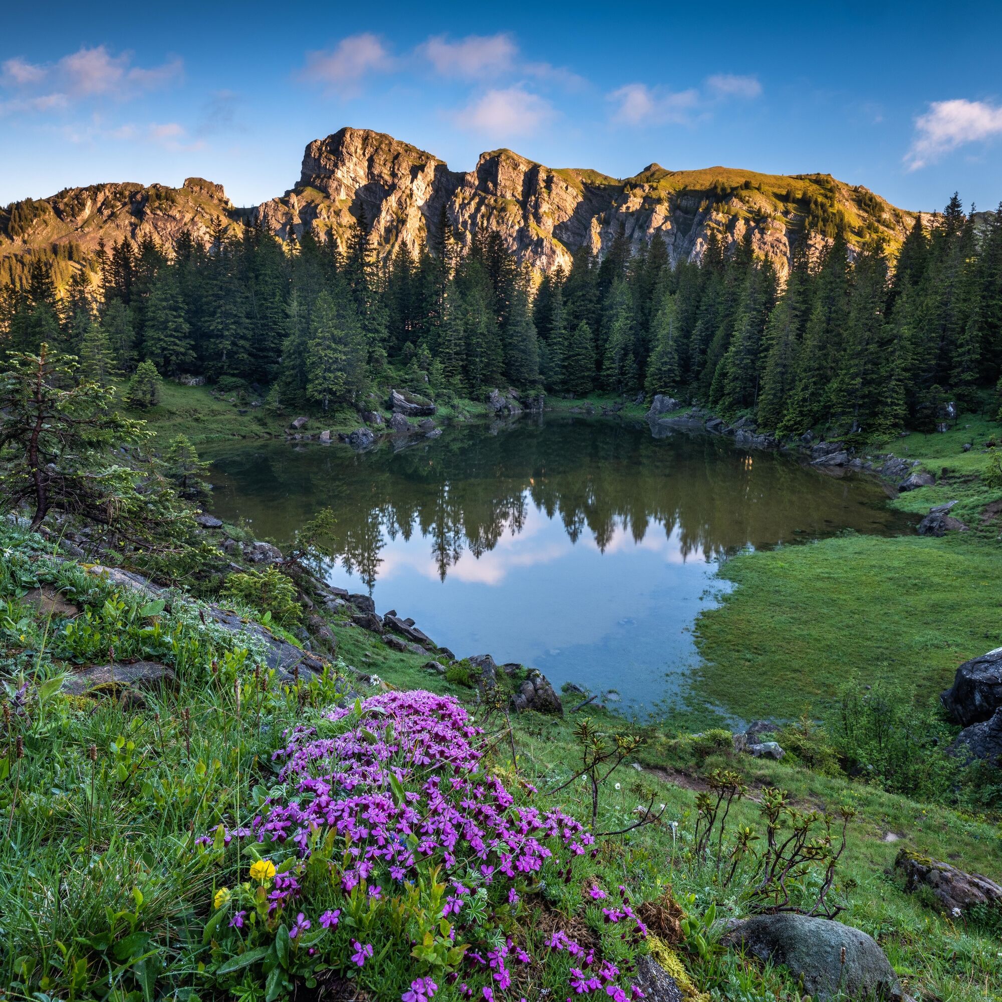
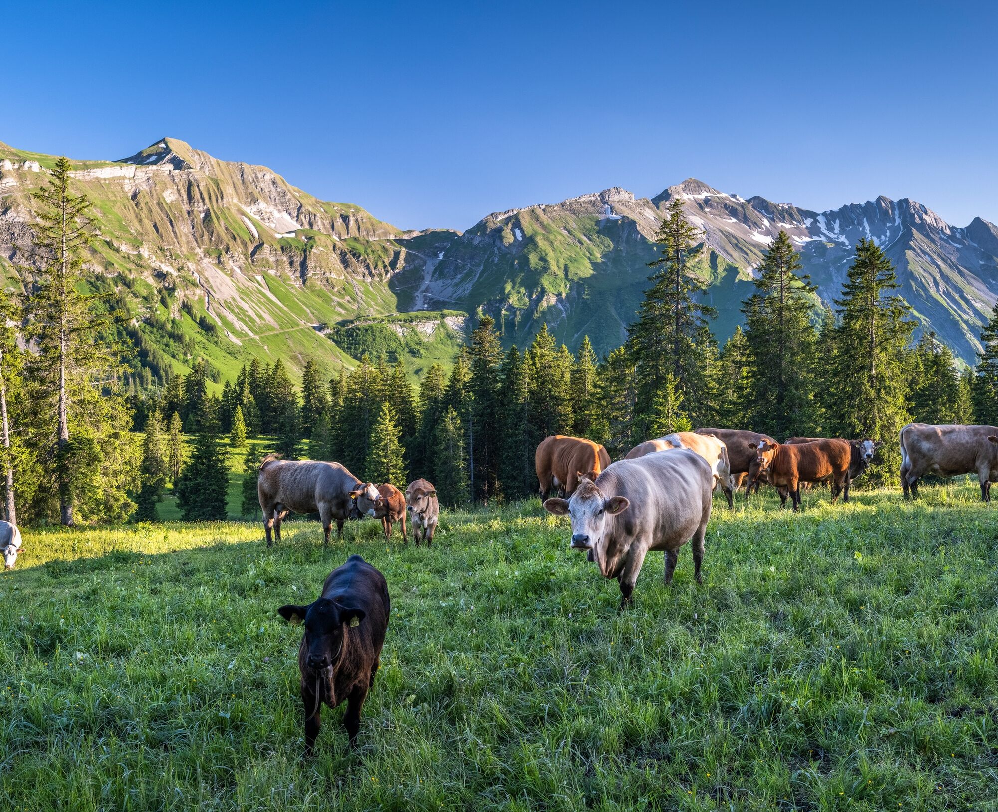
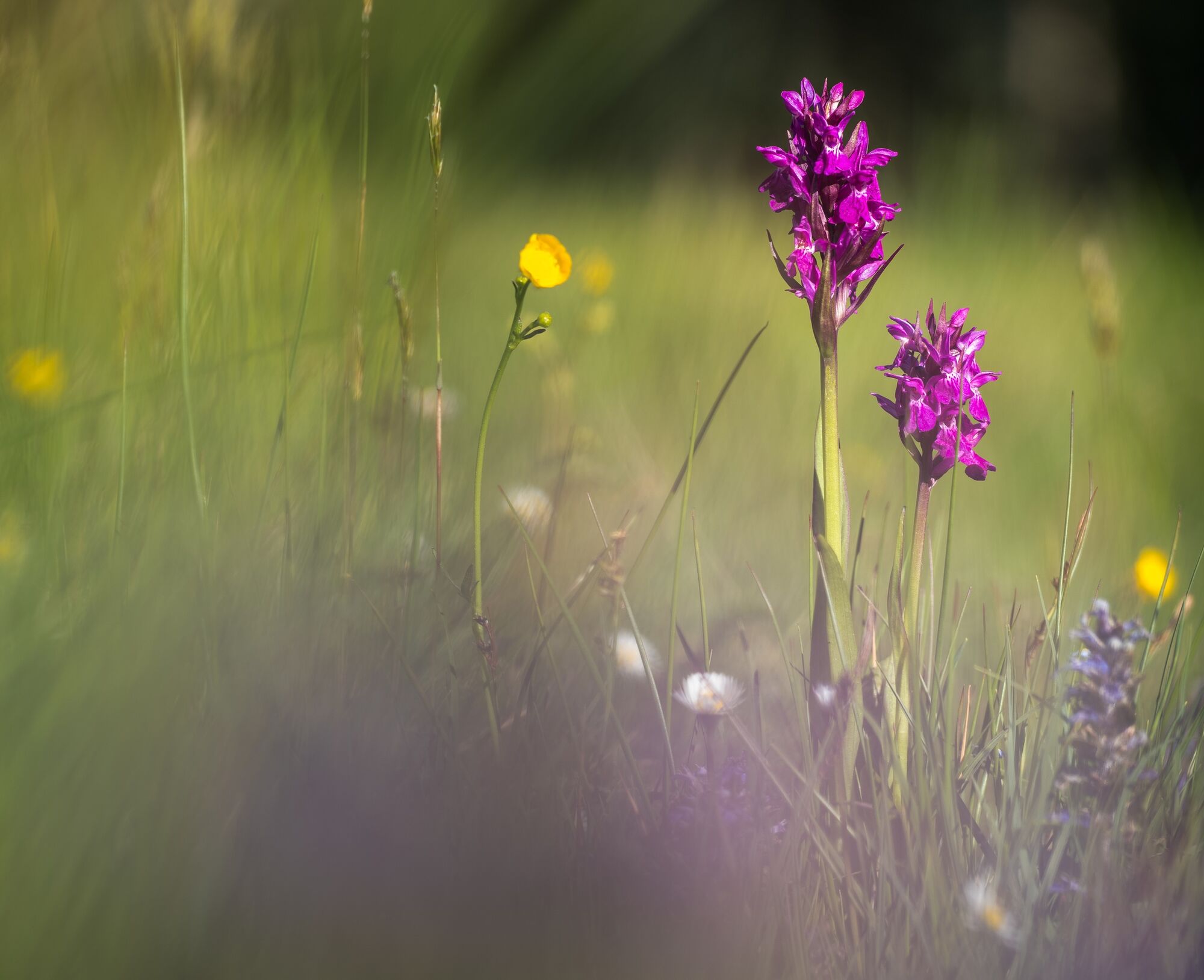
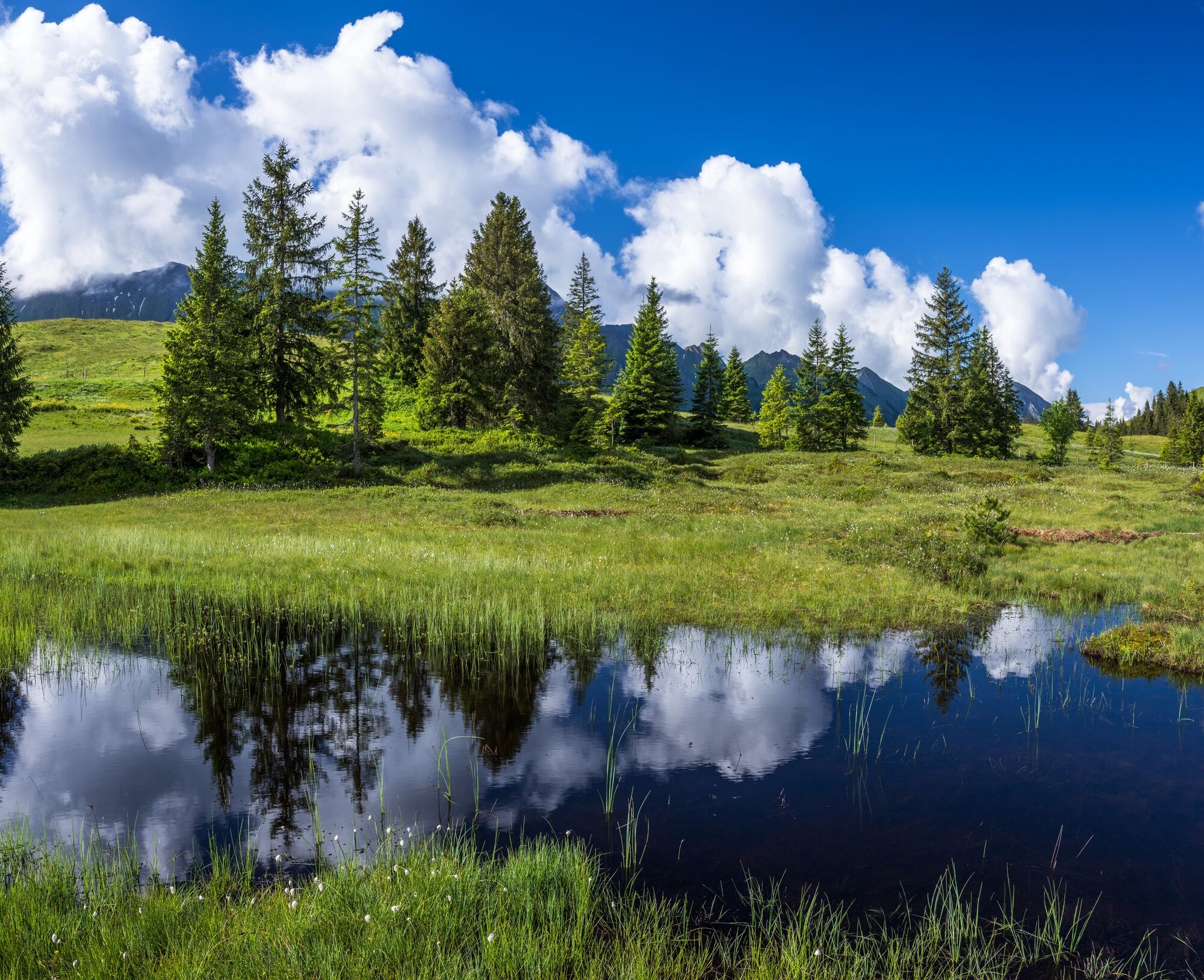
This is a unique round walk through the moorland scenery of the UNESCO Biosphere Entlebuch. You'll love the barren raised bogs, flora-rich flat moors and primal moorland landscapes! Moors as far as the eye can see!
- Difficulty
-
difficult
- Rating
-
- Starting point
-
Sörenberg: PostBus stop "Sörenberg, Post"
- Route
-
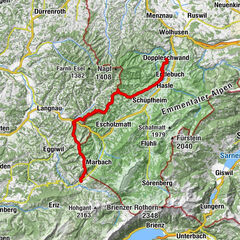
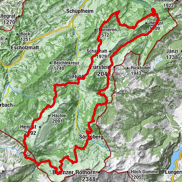
SörenbergRestaurant Bäckerstube0.1 kmHotel Sörenberg0.1 kmAlpenrösli0.1 kmBleikechopf (1,680 m)6.2 kmWasserfallenegg14.9 kmHintergrund21.1 kmGfellen24.8 kmSchimbrig Bad (1,423 m)29.4 kmNeuhütte31.4 kmBerghaus First36.3 kmFinishütte39.1 kmSalzbüel (1,202 m)42.5 kmFlühli (882 m)46.4 kmHilferepass (1,289 m)50.2 kmImbrig58.5 kmOberhachegg59.5 kmKemmeri62.2 kmKemmeribodenbad63.0 kmKemmeriboden63.3 kmHübeli64.4 kmBergstation Skilift Dorf78.8 kmSörenberg79.8 km
- Best season
-
JanFebMarAprMayJunJulAugSepOctNovDec
- Description
-
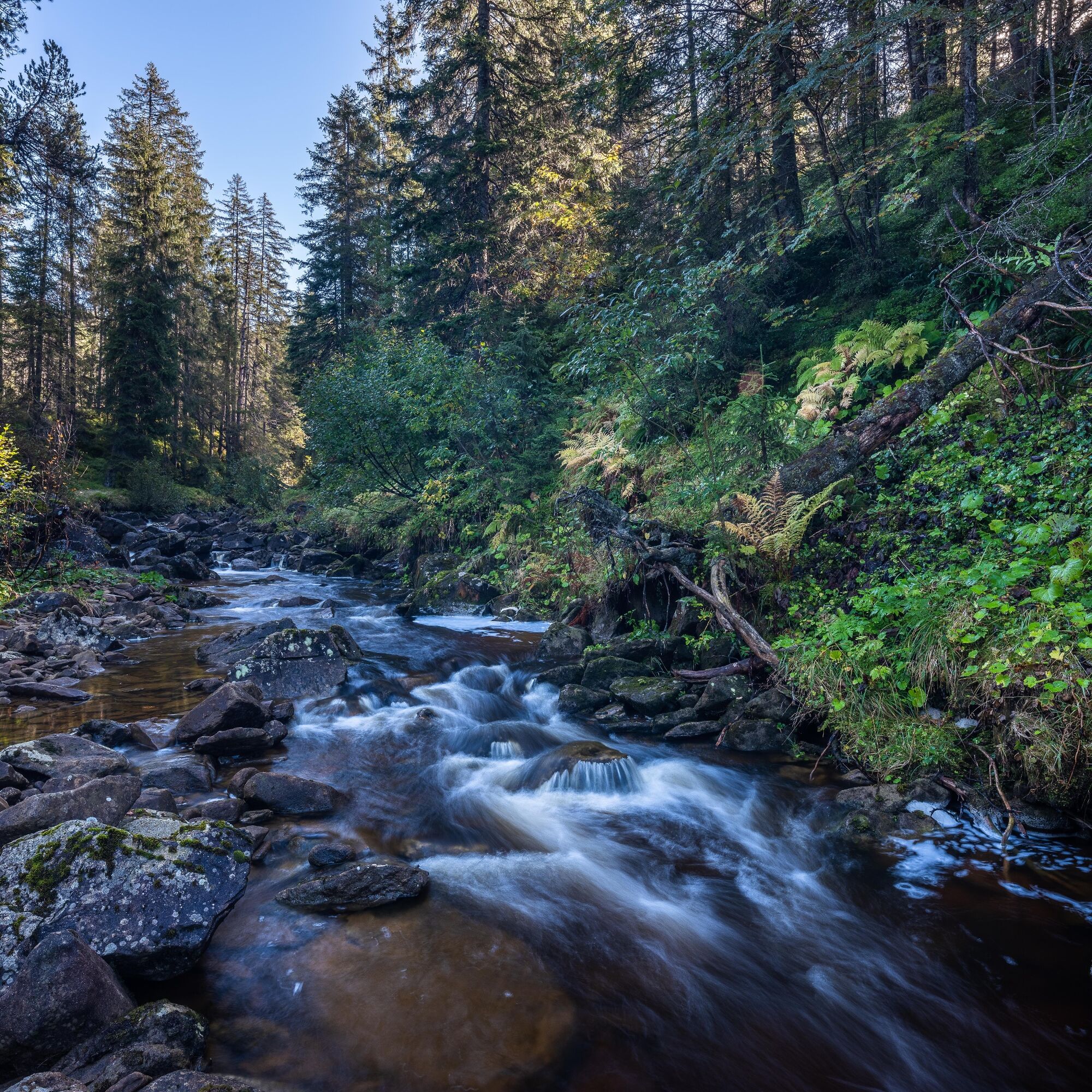
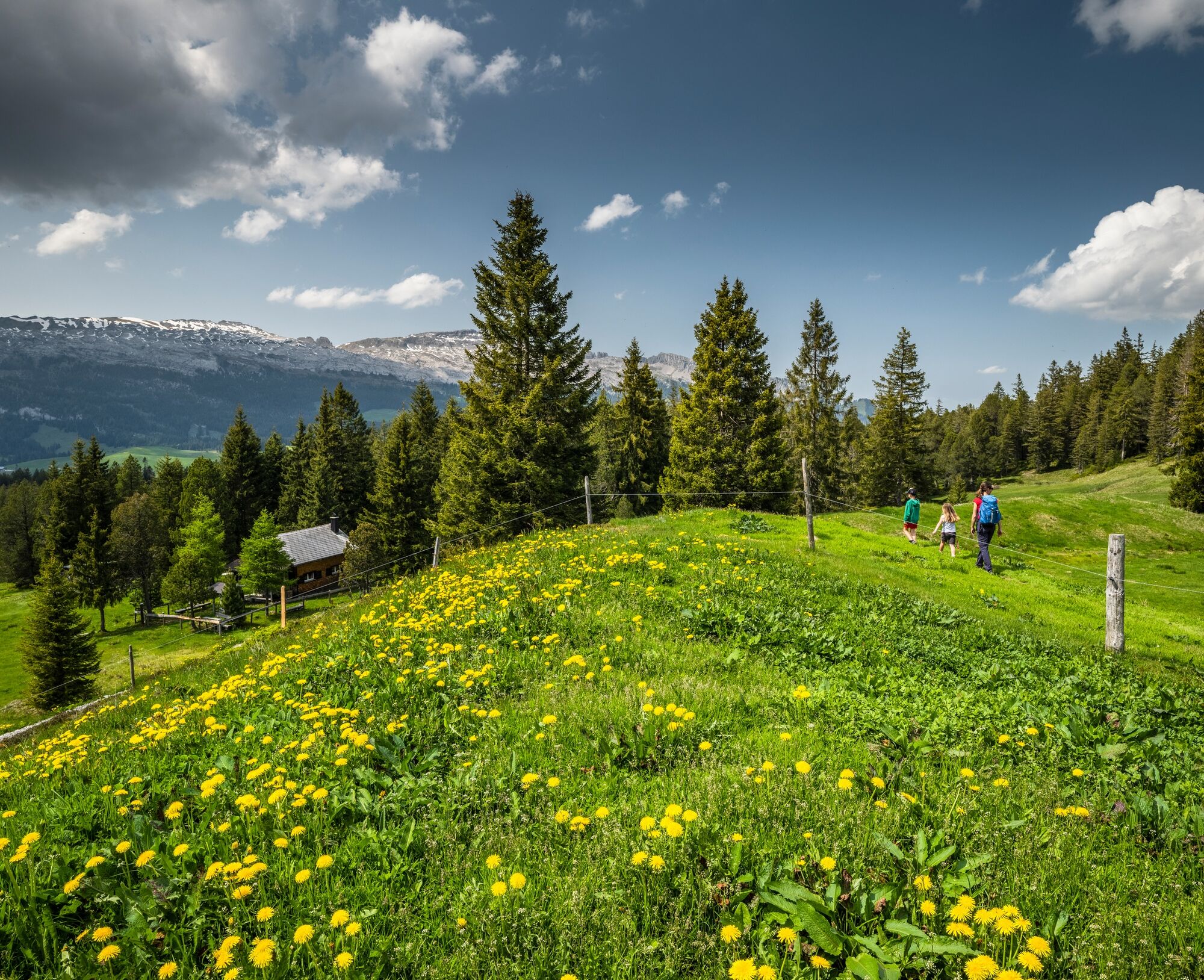
Discover the varied moorland scenery of the UNESCO Biosphere Entlebuch. The long-distance footpath with its five legs comprises 80 kilometres of springy moorland terrain, stony mountain paths, ancient pass routes and unmade alp and forestry roads through barren high moors and flora-rich flat moors. All the legs are waymarked "Moorlandschaftspfad" (moorland path) to keep you on the right track! Moreover, all the start and end points can be reached by public transport, so the legs can be planned as individual single-day outings.
- Directions
-
Leg 1: Habkern moorland / Sörenberg
Sörenberg to Kemmeribodenbad
17 km, 5h 20 min walking time
Leg 2: Hilferepass moorland
Kemmeribodenbad to Flühli
17 km, 5h 50 min walking time
Leg 3: Klein Entle moorland
Flühli to Gfelle (Finsterwald / Entlebuch)
19 km, 6h 20 min walking time
Leg 4: Glaubenberg moorland
Gfelle (Finsterwald / Entlebuch) to Stäldili (Flühli)1
4 km, 4h 55 min walking time
Leg 5: Glaubenberg moorland
Stäldili (Flühli) to Sörenberg
10.8 km, 3h 35 min walking time
- Highest point
- 1,793 m
- Endpoint
-
Sörenberg: PostBus stop "Sörenberg, Post"
- Height profile
-
 © outdooractive.com
 - Equipment
-
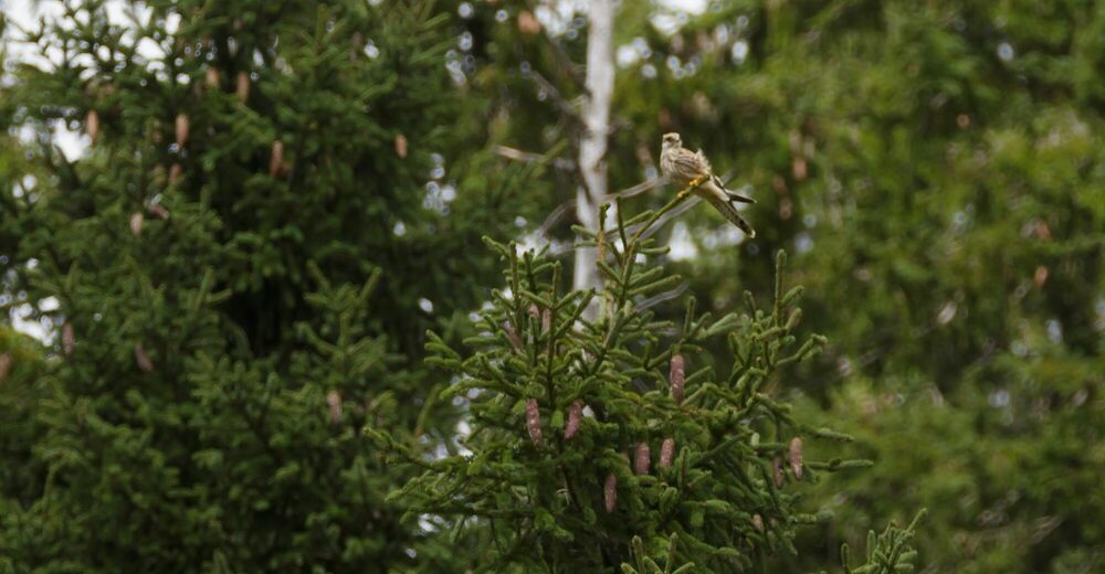
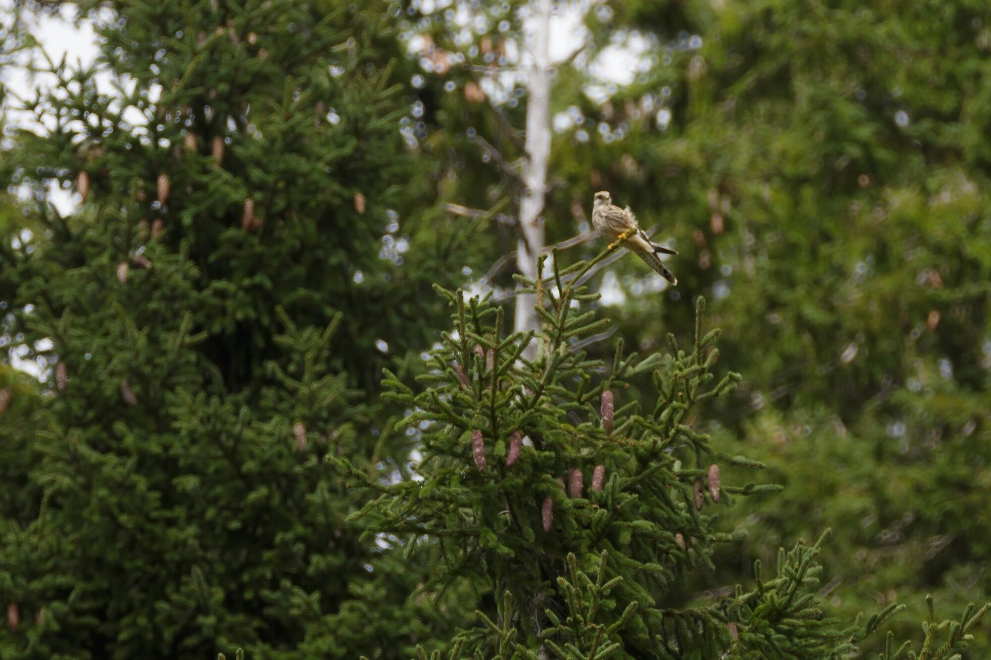
Sturdy footwear and all-weather clothing are essential. We recommend bringing binoculars, flora and fauna identification books, and maybe a towel for drying feet after walking barefoot.
- Safety instructions
-
Some areas have little or no mobile phone reception.
- Tips
-
The moors are particularly striking in terms of colour between late September and late October.
- Additional information
- Public transportation
-
All start and end ponts can be accessed by public transport.
-

-
AuthorThe tour UNESCO Biosphere Entlebuch moorland path is used by outdooractive.com provided.


General info
-
Obwalden
2014
-
UNESCO Biosphäre Entlebuch
630
-
Flühli
179