Consthum - Auto Pedestre

Logo Consthum - Auto Pedestre
Tour data
8.16km
286 - 496m
Distance
249hm
249hm
Ascent
02:01h
 
Duration
Brief description

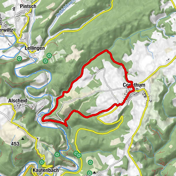
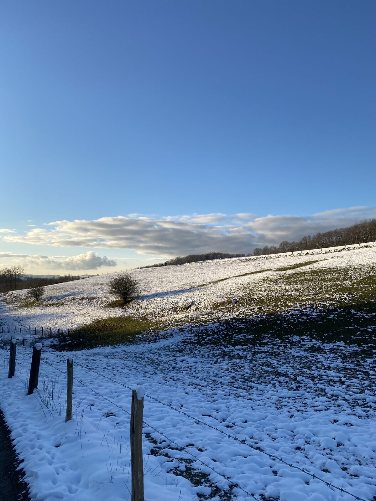
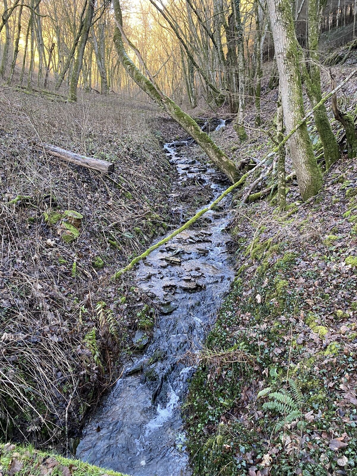
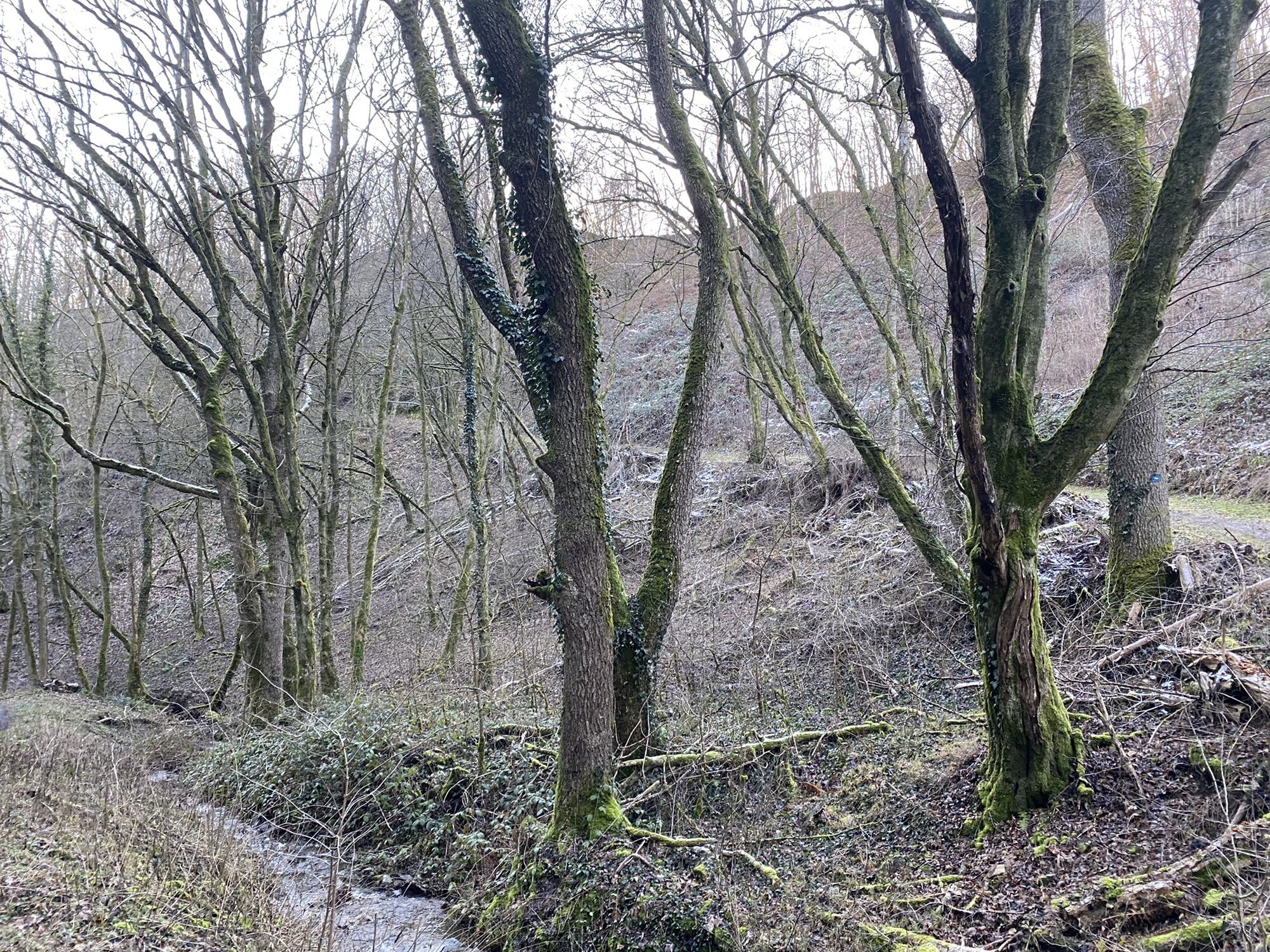
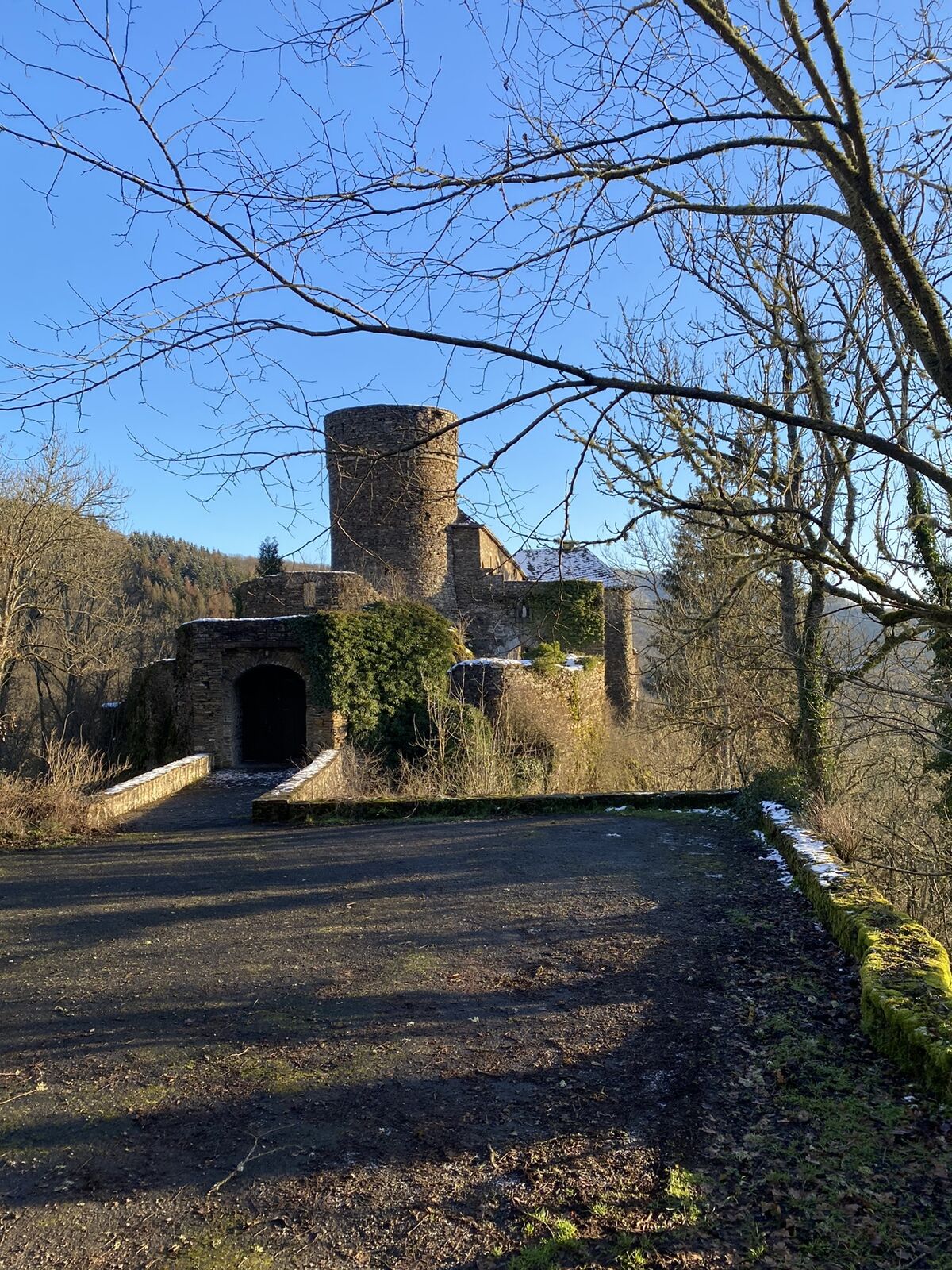
Rundweg von 7 km von Consthum durch das „Joupicht“ Tal, zur Schuttburg und zurück nach Consthum

Difficulty
medium
Rating
Technique
Fitness
Landscape
Experience
Route
Consthum
0.1 km
Honsbur
5.6 km
Consthum
7.9 km
Saint-Maximilien
8.0 km

Highest point
496 m

Overall rating

5

0

%

4

0

%

3

0

%

2

0

%

1

0

%

Error
An error has occurred. Please try again.
Thank you for your review

Rating has been deleted

GPS Downloads
  • GPX GPS Exchange Format (XML)
  • KML Google Earth, Google Maps
QR Download Codes for Mobile Phones

Popular tours in the area

Éislek Pad Bavigne

medium Hiking
9.88km | 226hm | 03:05h

Éislek Pad Clervaux

medium Hiking
13.41km | 348hm | 04:05h