

- Brief description
-
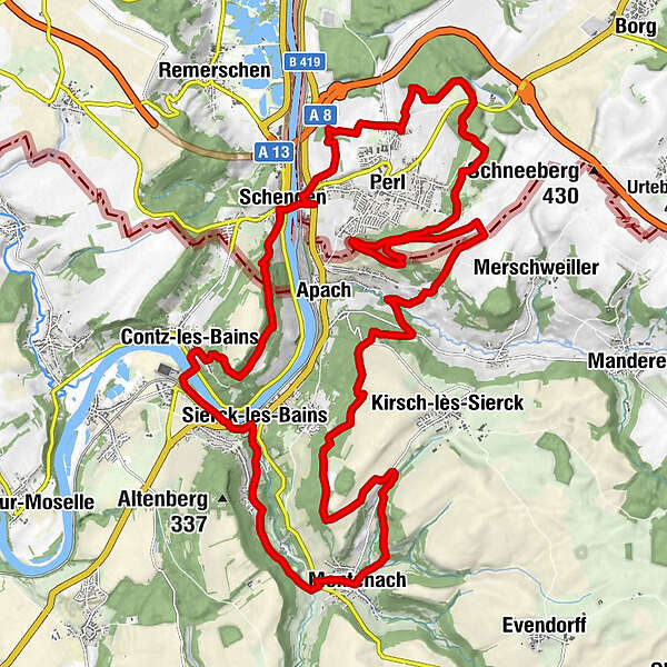
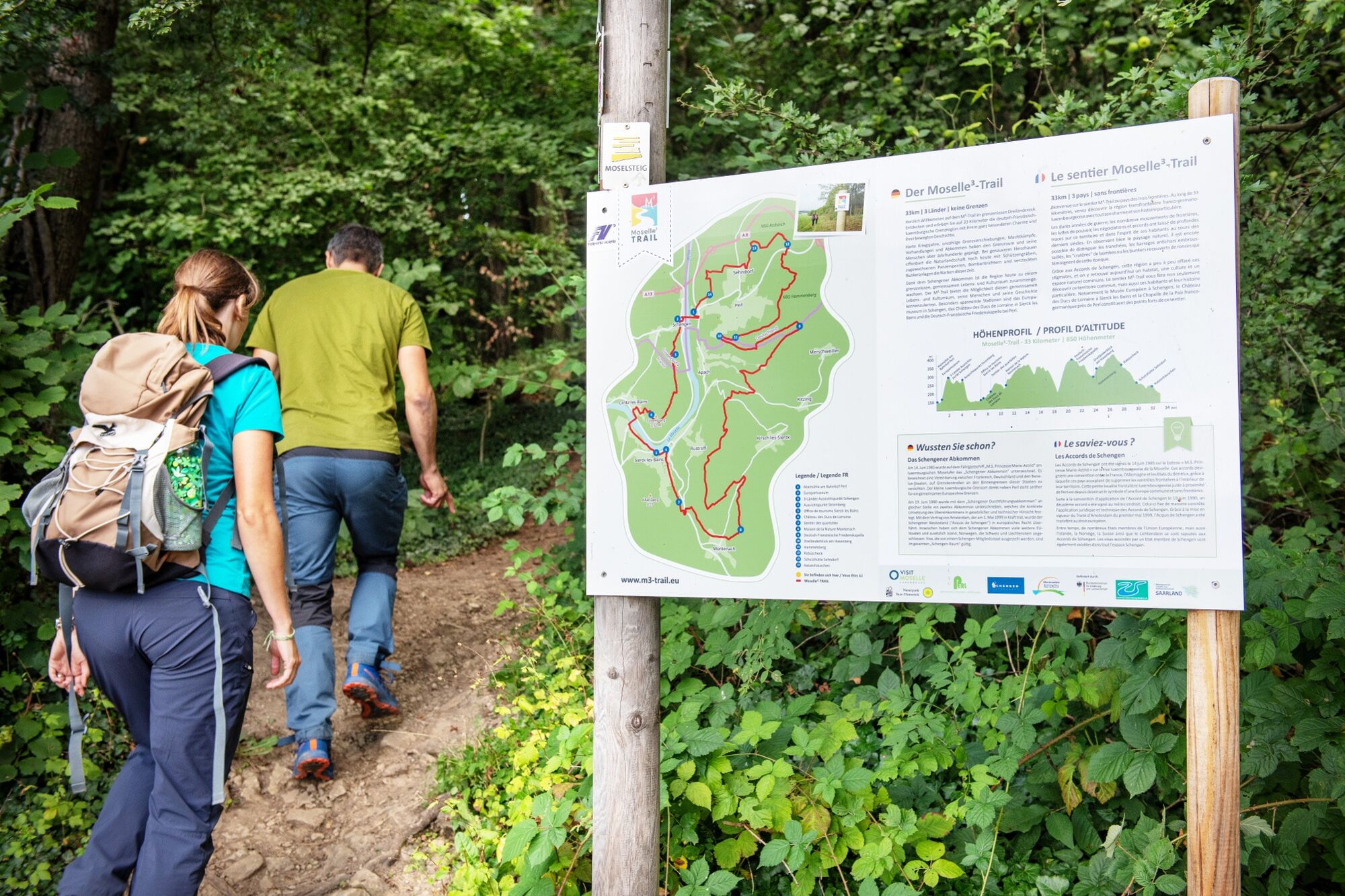
33km | 3 countries | 0 borders
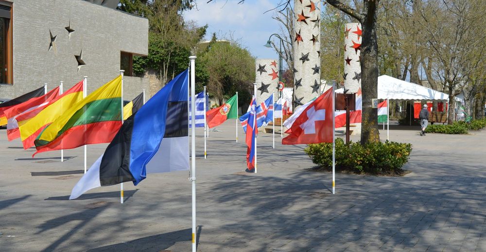
Welcome to the M³-Trail within the borderless triangle. Discover on 33 kilometres the German-French-Luxembourg border region with its very special charm and its eventful history.
- Difficulty
-
difficult
- Rating
-
- Starting point
-
European Museum Rue Robert Goebbels, 5444 Schengen
- Route
-
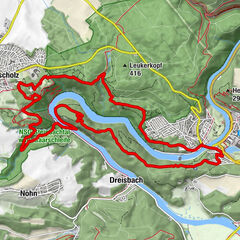
Pfarrkirche Saint-Sauveur0.0 kmSchengen0.0 kmMéchelsbongert0.2 kmRoutwiss0.5 kmStromberg1.1 kmStromberg (312 m)3.3 kmPallemberg3.6 kmChapelle Notre-Dame-des-Sept-Douleurs3.7 kmKummerkreuz3.9 kmPesch4.2 kmNiederkontz4.2 kmRitter4.2 kmMoselbongert4.4 kmUnter dem Schloss6.0 kmÉglise de la Nativité-de-la-Bienheureuse-Vierge-Marie6.0 kmBad Sierck6.2 kmSchankfeld7.9 kmMontenach10.0 kmRüsdorf14.8 kmGruben18.1 kmHaut Apach18.2 kmGrosse Gaerten18.3 kmDumpen18.6 kmBelmach18.9 kmSaint-Antoine19.0 kmGertenfeld19.2 kmFriedenskapelle20.2 kmHammelsberg22.6 kmDreiländerblick23.3 kmSehndorf29.6 kmAlte Maimuehle32.2 kmSchengen32.9 km
- Best season
-
JanFebMarAprMayJunJulAugSepOctNovDec
- Description
-
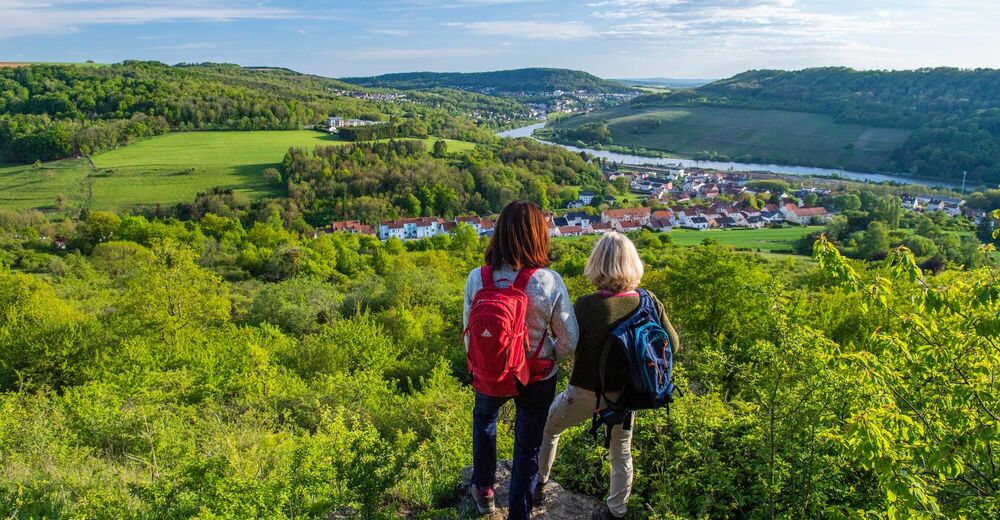
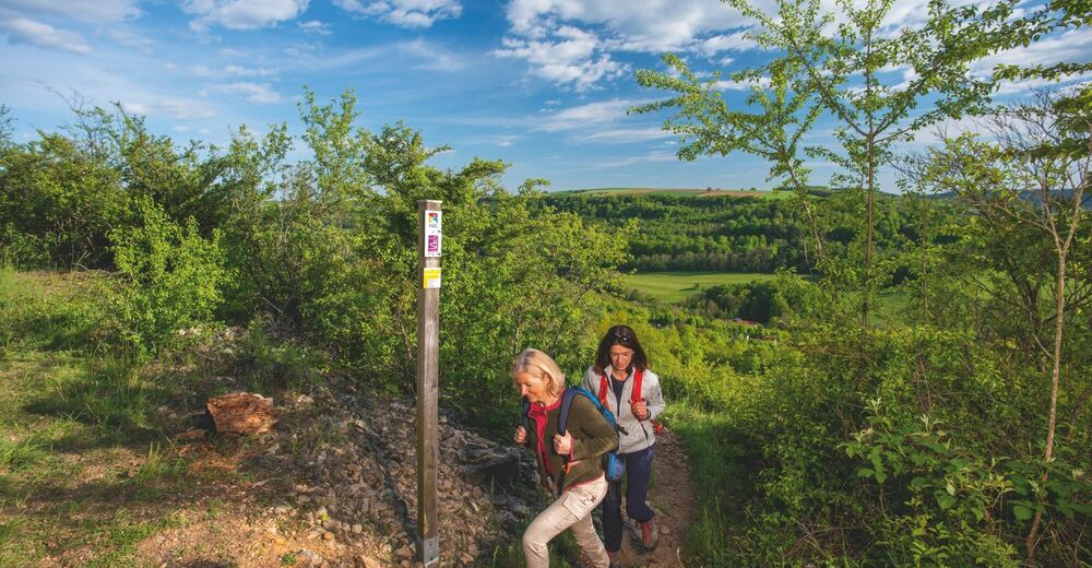
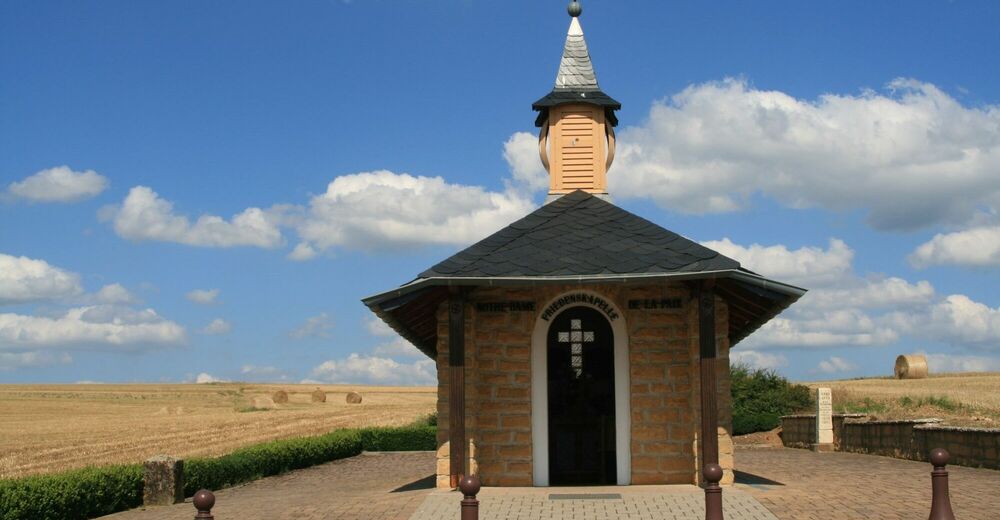
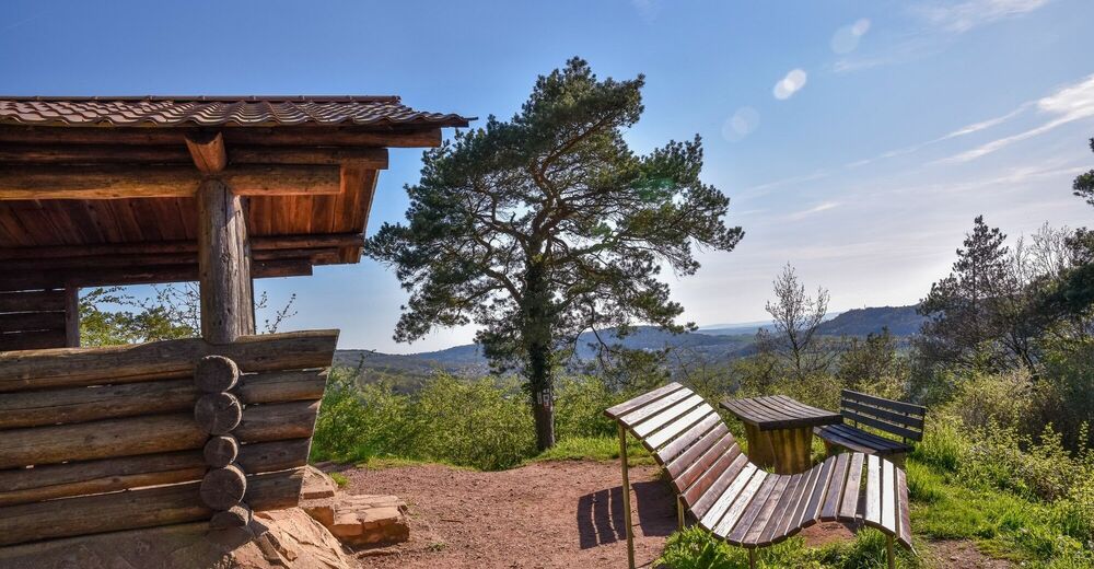
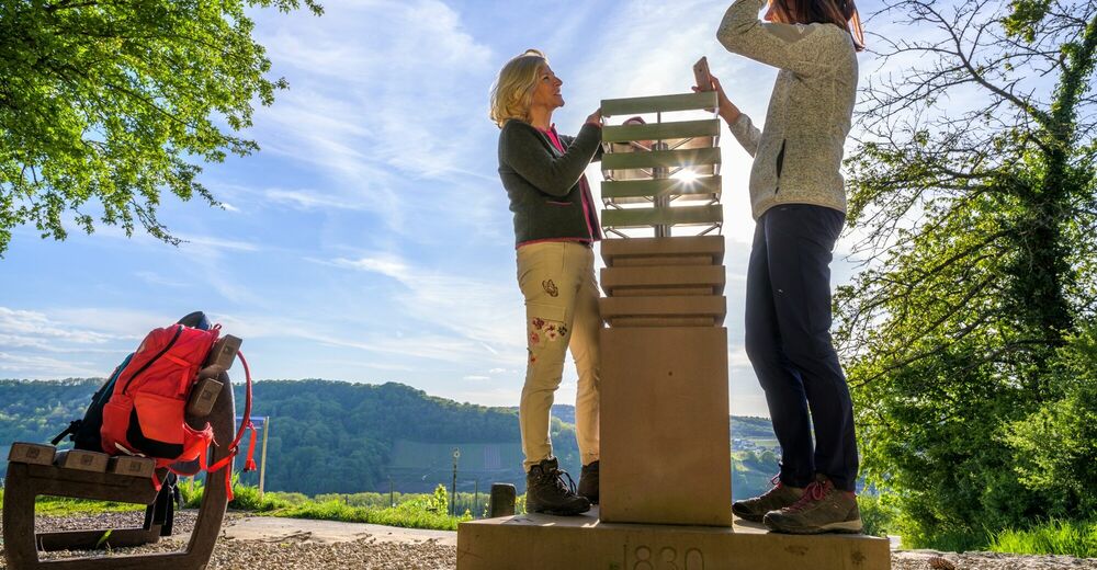
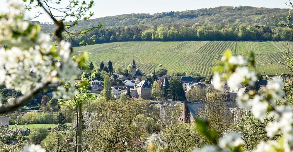
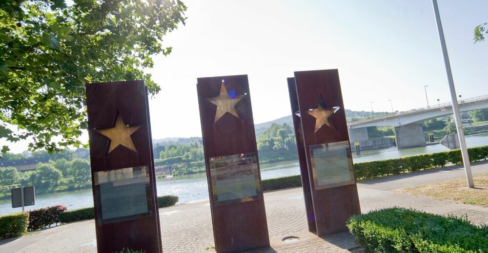
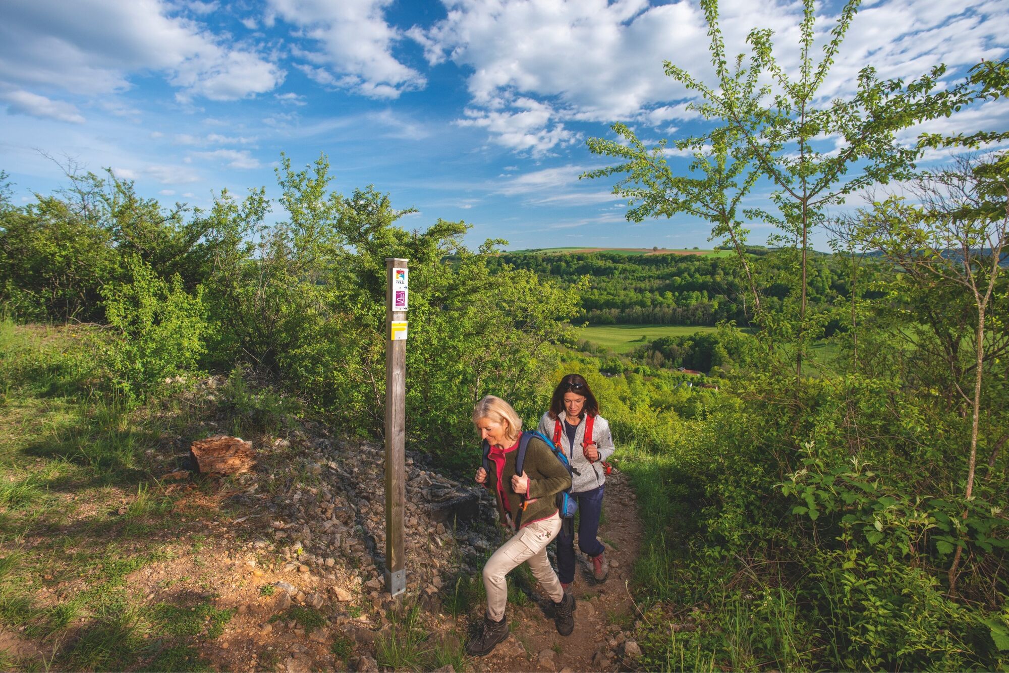
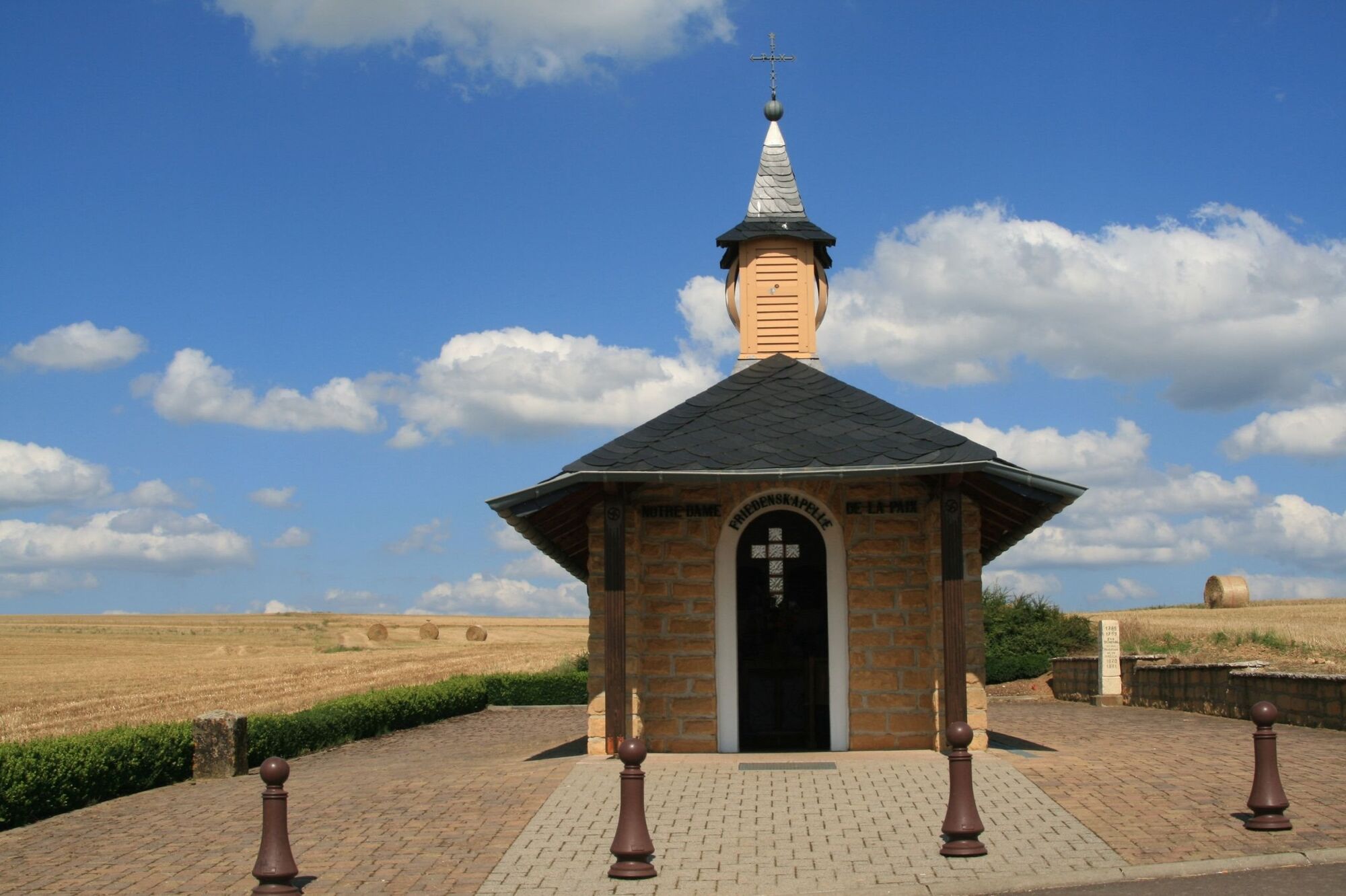
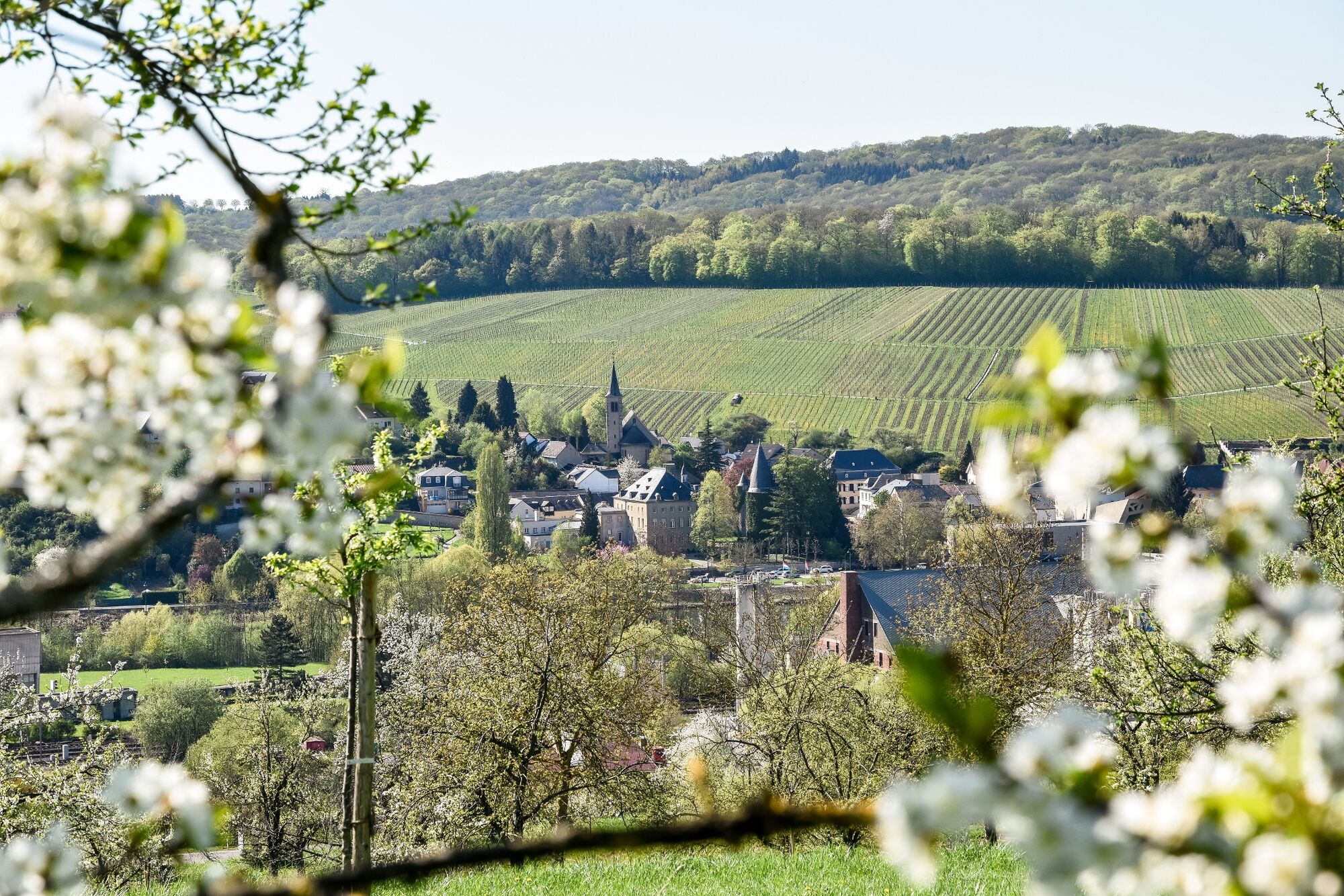
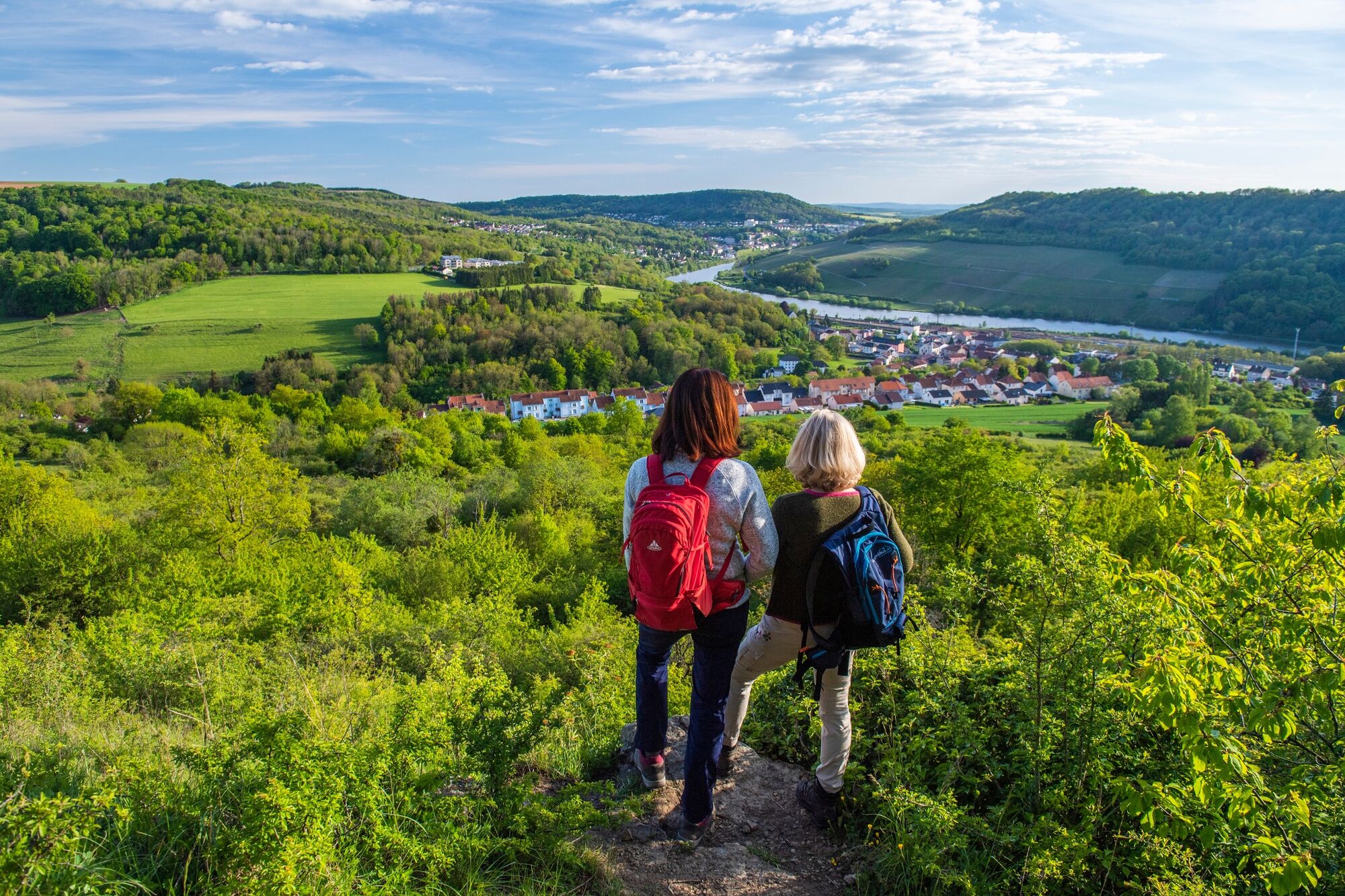
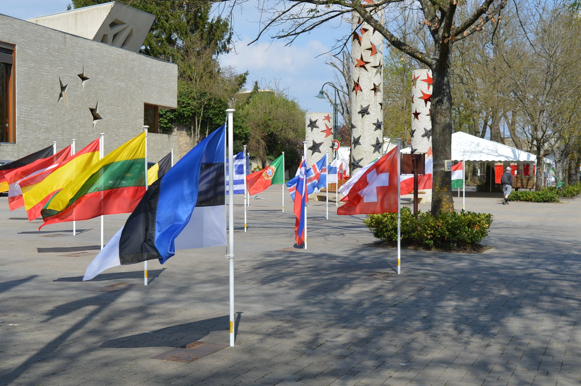
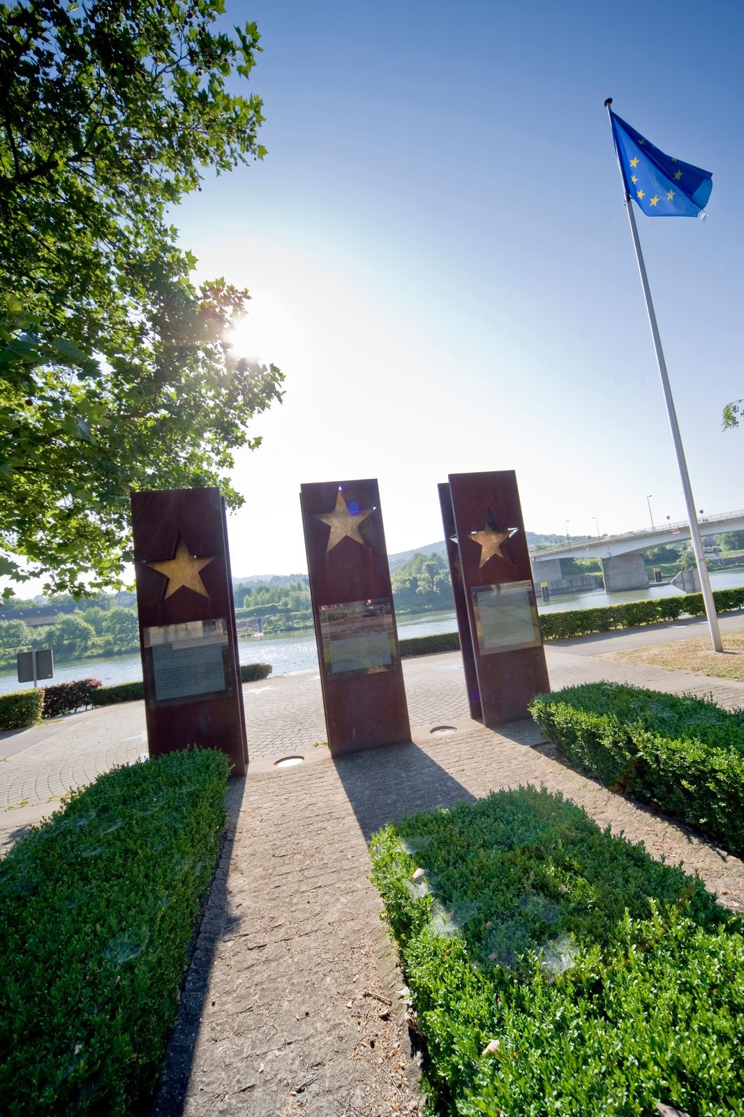
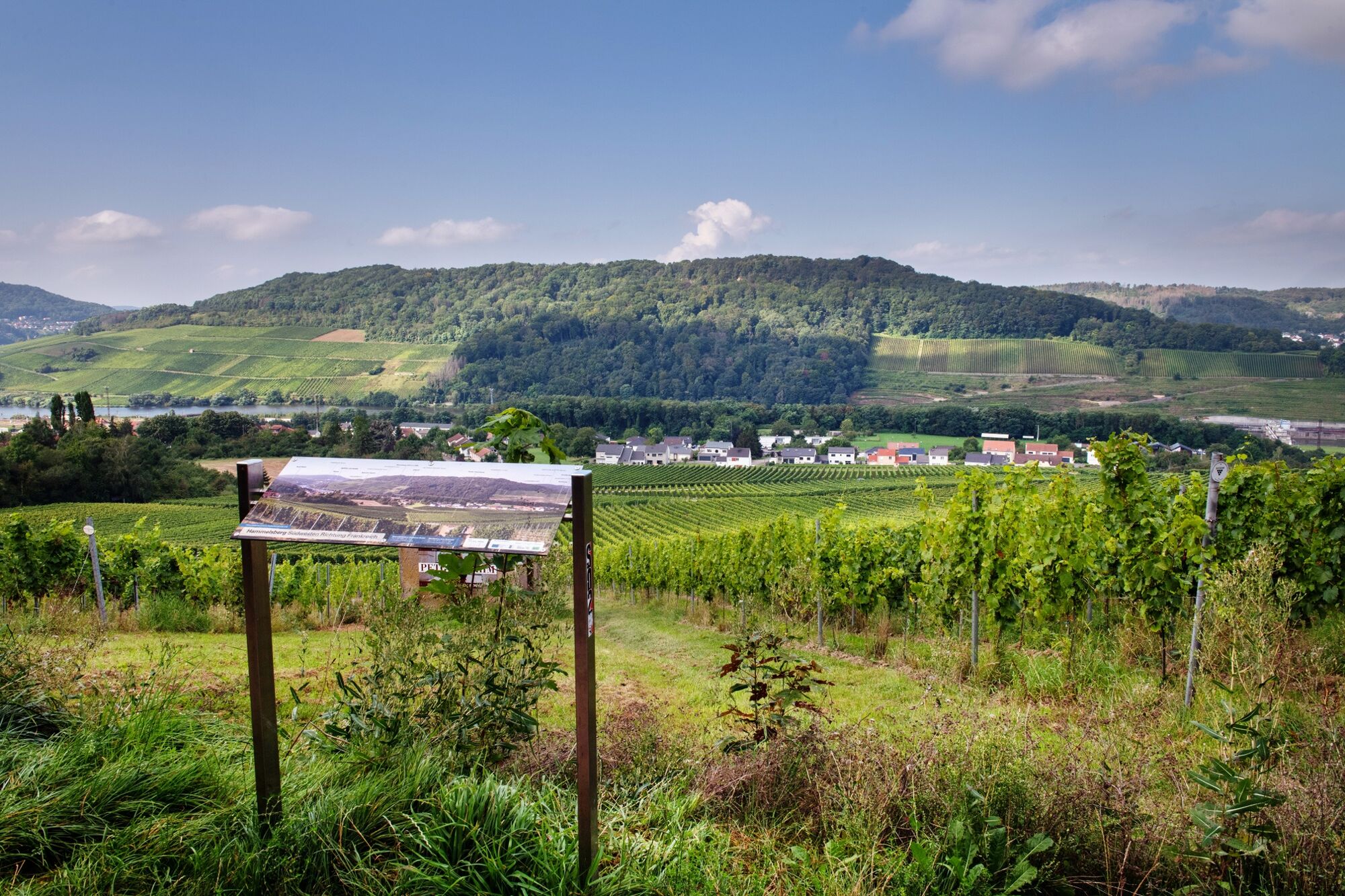
Tough years of war, countless border shifts, power struggles, negotiations and agreementshave shaped the border region and its people for centuries. On closer inspection, the naturallandscape with its trenches, overgrown anti-tank barriers, bomb craters and hiddenbunkers still reveals the scars of those times. Thanks to the Schengen Agreement, the region has now grown together into a borderless, common living and cultural area. The M³-Trail offers the opportunity to find out more about the way the area works together in harmony through its culture, its people and its history. Particularly exciting stops are the European Museum in Schengen, the Château des Ducs de Lorraine in Sierck les Bains and the Franco-German Peace Chapel near Perl.The M³-Trail passes through remarkable natural sites such as the Stromberg (Schengen & Contz-les-Bains), the Hammelsberg (Perl & Apach), the limestone meadows of Montenachand the quartzite outcrops in Sierck-les-Bains, some of which are classified as nature reservesand listed in the European Natura 2000 network. These natural environments are fragile and reserved exclusively for walkers, so please follow the recommendations on the signs at the entrances to the sites.
- Directions
-
The M³ Trail is a 33-kilometer circular route that can be started at various points. There are very good parking facilities in the Perl-Sehndorf area (large car park on Kreckelberg), at the Perl train station, at the Europa Museum in Schengen and at the Maison de la Nature in France. The trail offers a perfect mix of nature and culture experience. Exciting paths, stream valleys and exceptional natural areas offer nature fans a unique journey through the border triangle. With the European Museum in Schengen, the Château des Ducs de Lorraine and the Peace Chapel, lovers of culture and history will find exciting places during the tour.
- Highest point
- 377 m
- Endpoint
-
European Museum Rue Robert Goebbels, 5444 Schengen
- Height profile
-
 © outdooractive.com
 - Equipment
-
Firm footwear
- Tips
-
The M³ Trail does not necessarily have to be "hiked" in one day. As a two-day tour, the trail offers a great opportunity to get to know and appreciate the region and its people better. Those who start in Montenach at the Maison de la Nature can end the first day comfortably with a wine tasting in Sehndorf or in Perl and start the next day after a few meters with a visit to the European Museum in Schengen. Alternatively, we recommend starting in Schengen with a stopover in Montenach (caution: reserve early!)
Please consider that mountain biking is not allowed on this trail!
- Additional information
- Author
-
The tour Moselle 3-Trail is used by outdooractive.com provided.


General info
-
Moselle
244
-
Region Mosel
447
-
Schengen
63