

- Brief description
-
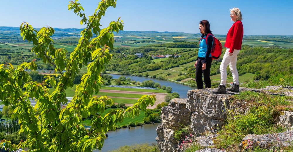
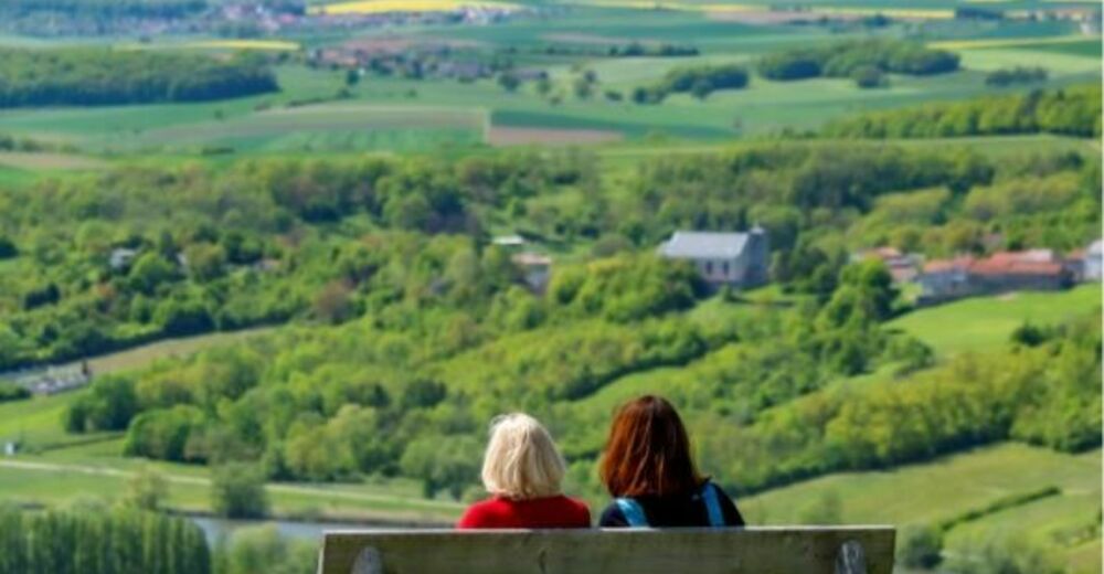
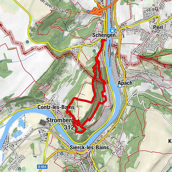
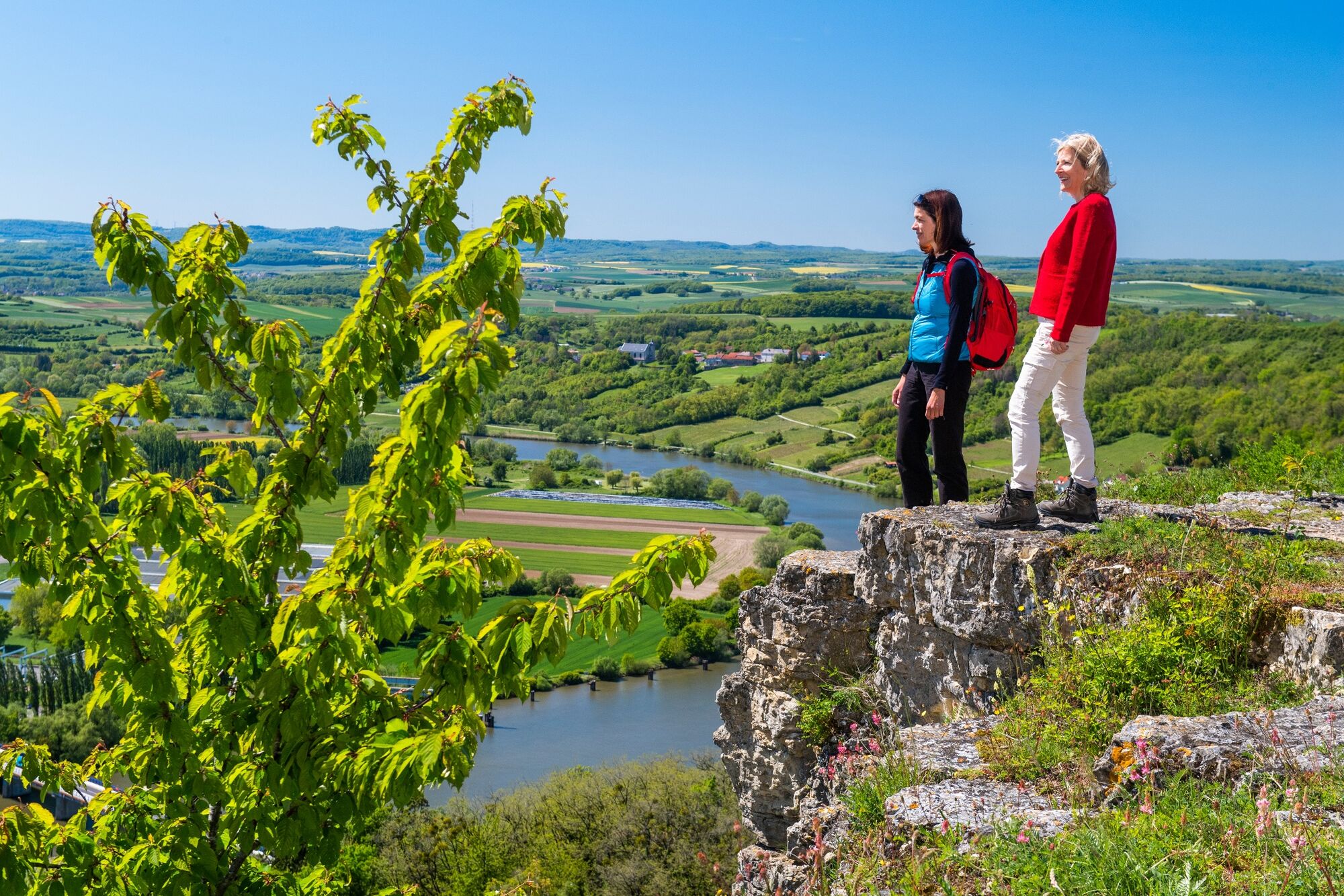
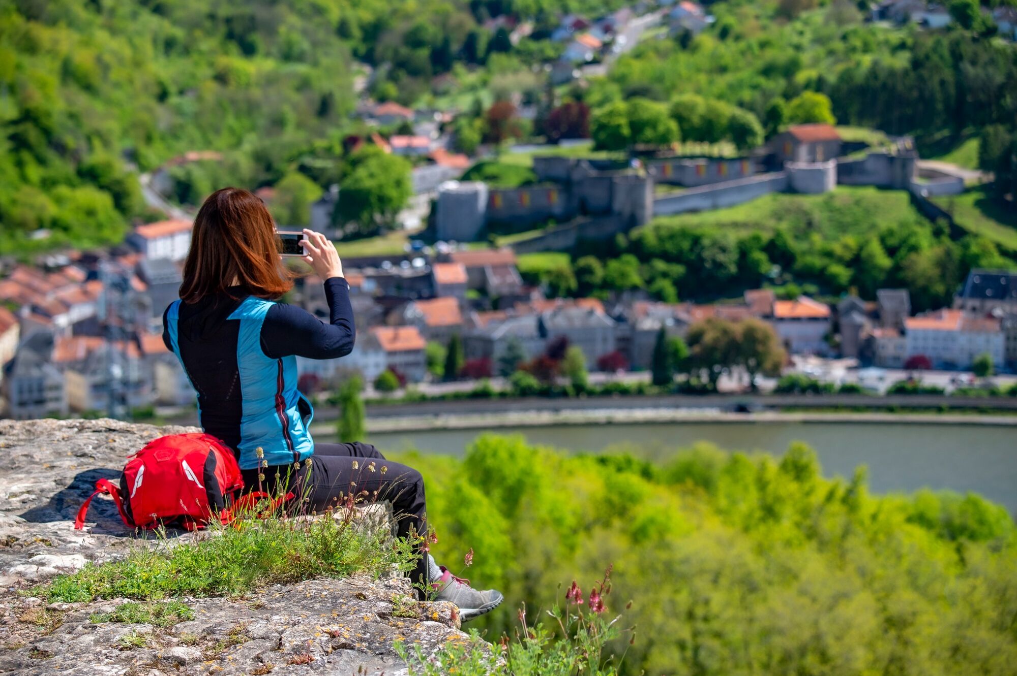
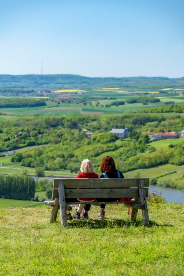
The trail over the Stromberg, where the border between Luxembourg and France runs, offers fantastic views over the Moselle valley to Luxembourg, France and Germany. Here, hikers can experience borderless Europe up close.
- Difficulty
-
medium
- Rating
-
- Starting point
-
Luxembourg: Tourist-Info, Rue Robert Goebbels, L-5444 Schengen, Germany: Train station Perl, France: Parking Stromberg Contz-les-Bains
- Route
-
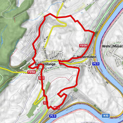
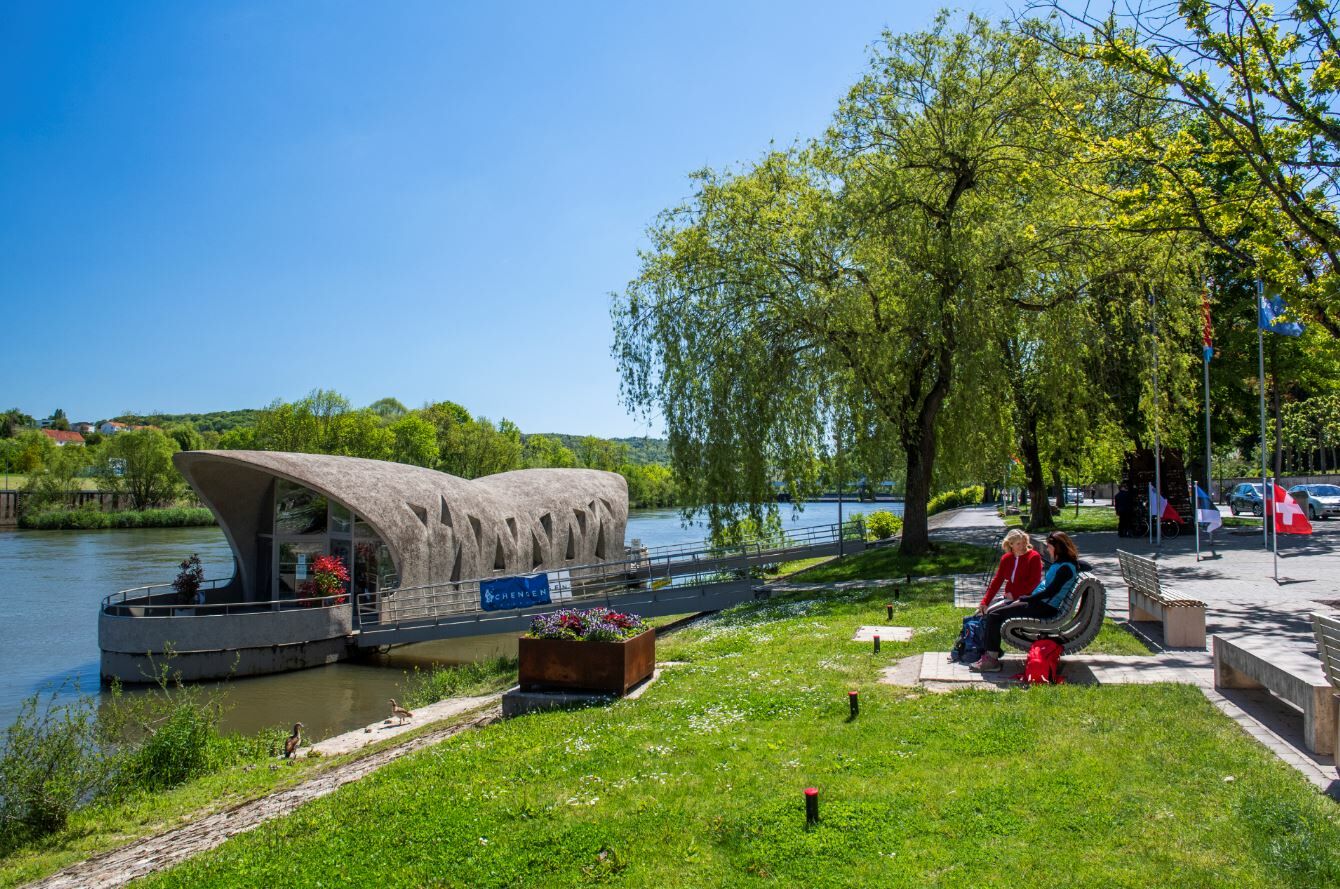
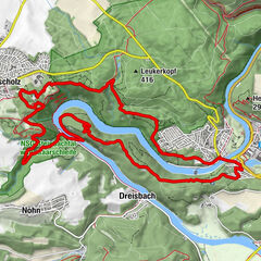
Schengen0.0 kmPfarrkirche Saint-Sauveur0.0 kmMéchelsbongert0.2 kmRoutwiss0.5 kmStromberg1.1 kmOb Keblach1.7 kmKeblach1.9 kmNiederkontz3.1 kmChapelle Notre-Dame-des-Sept-Douleurs3.3 kmStromberg (312 m)3.8 kmBurbach5.6 kmSchengerheck6.3 kman der Fiels7.4 kmRoutwiss8.0 kmMéchelsbongert8.3 kmPfarrkirche Saint-Sauveur8.4 kmSchengen8.5 km
- Best season
-
JanFebMarAprMayJunJulAugSepOctNovDec
- Description
-
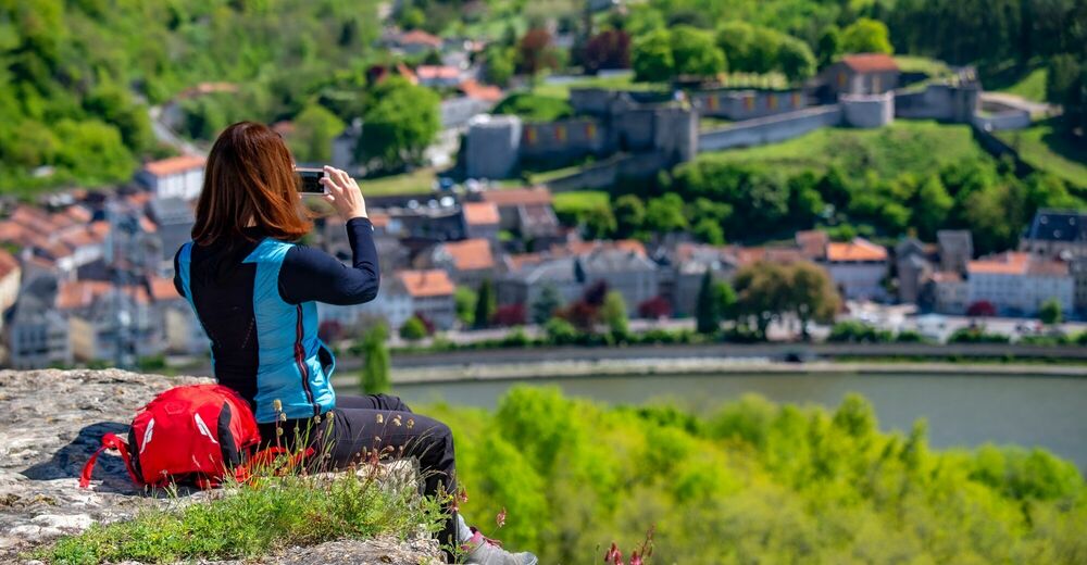
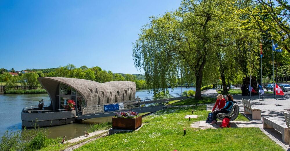
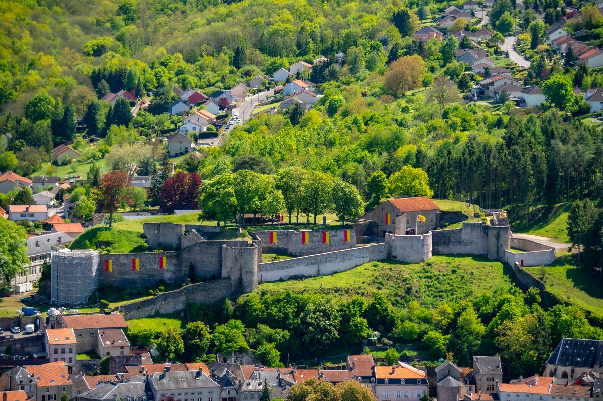
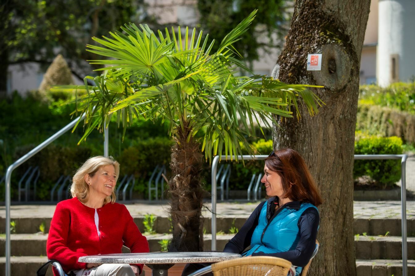
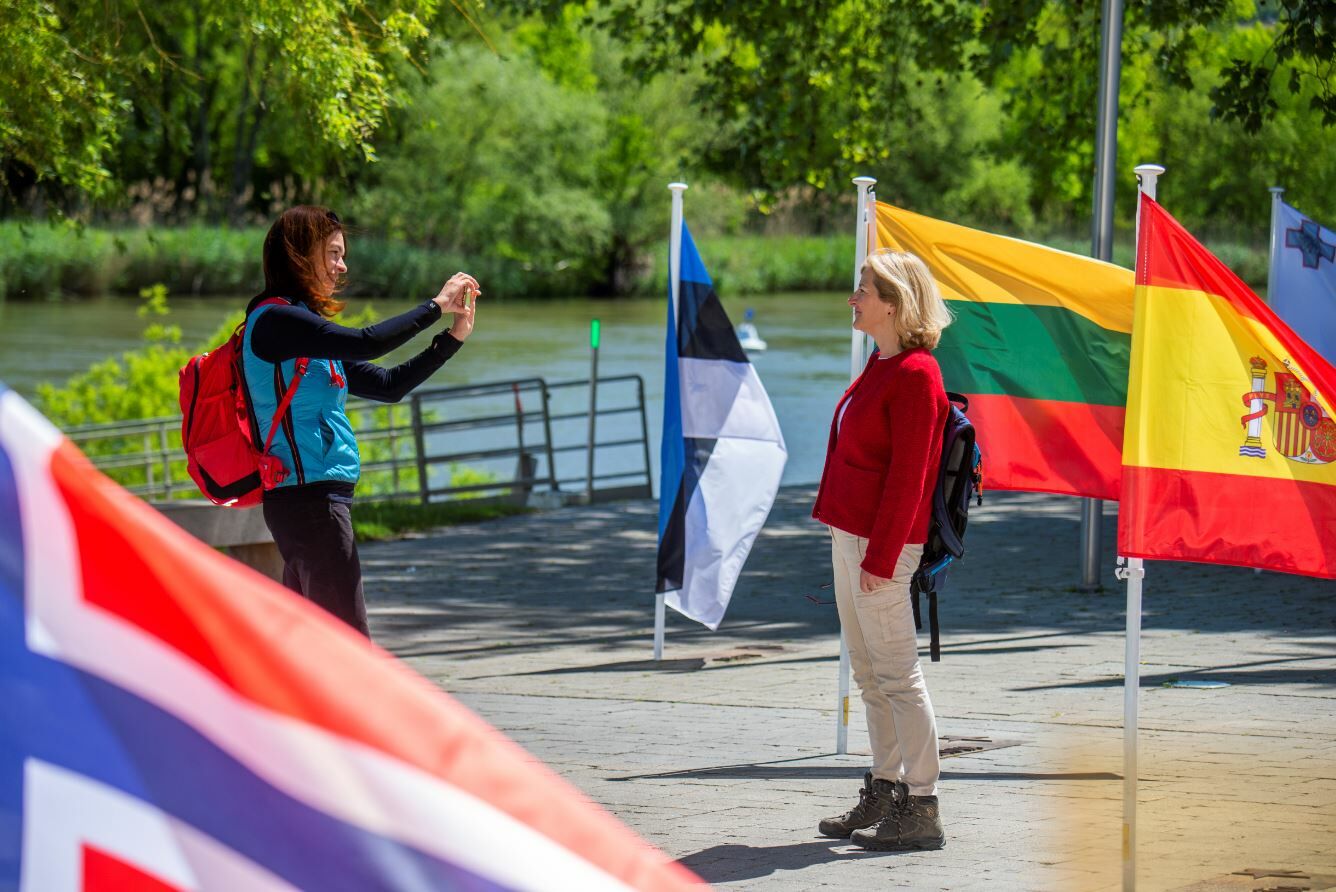
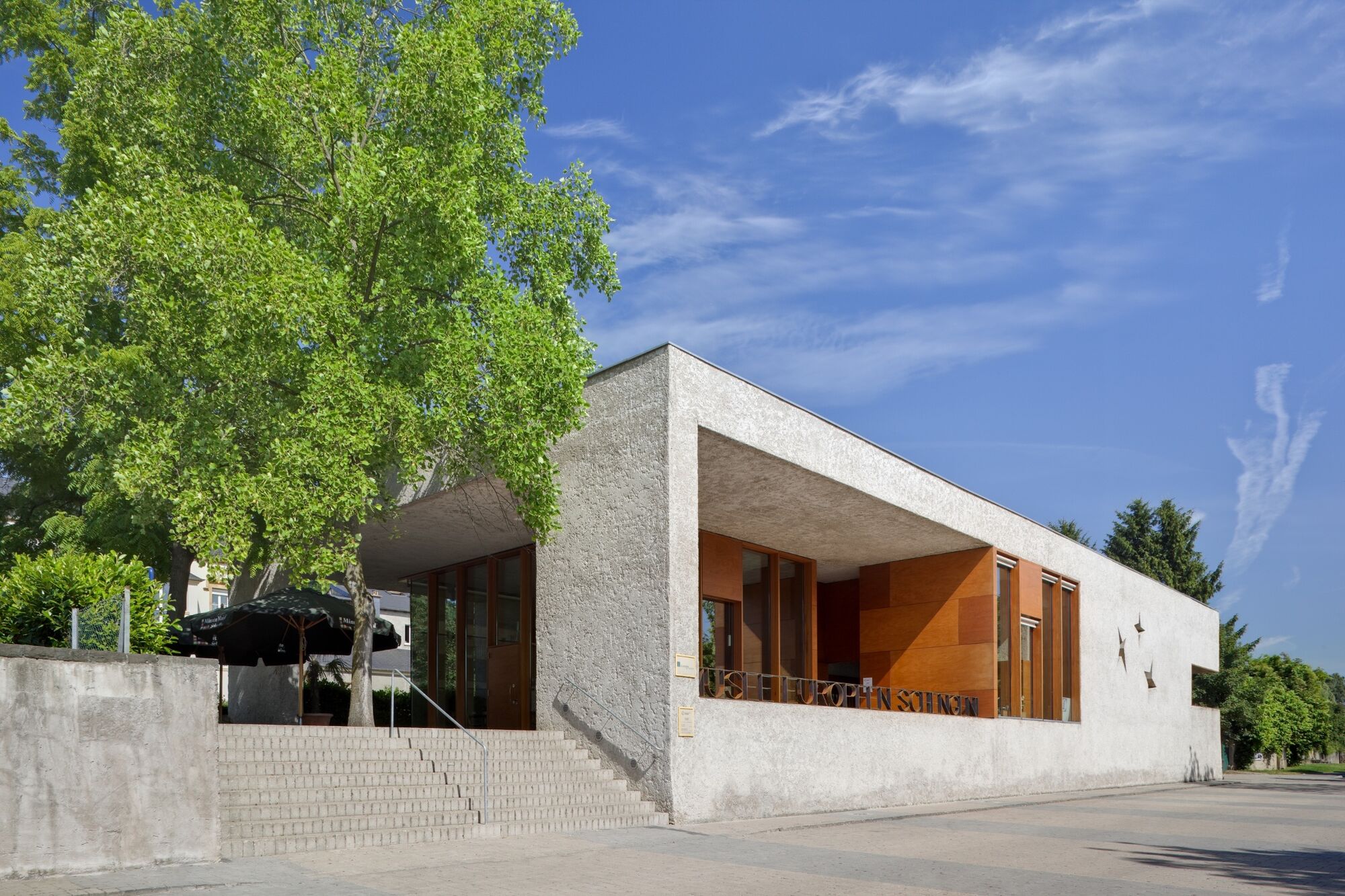
3 countries in 3 hours? From the European Museum, which became famous in 1985 due to the "Schengen Agreement", the hiking path takes you uphill to the nature reserve Strombierg and on to France in the surroundings of the winegrowing village of Contz-les-Bains. Once at the top, you will enjoy outstanding views over the Moselle valley situated in the tri-border area of Luxembourg, Germany and France. The steep vineyards and wild nature on the Strombierg make this hike a unique experience.After rainy periods, not or only restricted access!
- Directions
-
The dream loop "Schengen grenzenlos - Schengen sans frontières" starts in the municipality of Schengen in the border triangle. The place became famous through the signing of the "Schengen Agreement" in 1985. The hike leads from the European Museum to the Stromberg nature reserve. The trail continues into France to the surroundings of the winegrowing village of Contz-les-Bains. Magnificent views into the Moselle valley, steep vineyards, wide views towards Luxembourg and Lorraine as well as the wild nature at the Stromberg make this hike a unique experience.
Bistro «An der Aaler Schwemm»
L-5444 Schengen
Tel. +352 26 66 57 39
Hotel Restaurant Alte Maimühle
am Start in Perl (am Bahnhof)
Tel. +49 68 67113170
www.maimuehle.de
- Highest point
- 312 m
- Endpoint
-
Luxembourg: Tourist-Info, Rue Robert Goebbels, L-5444 Schengen, Germany: Train station Perl, France: Parking Stromberg Contz-les-Bains
- Height profile
-
 © outdooractive.com
 - Equipment
-
Some of the Traumschleifen have steep, difficult and, in rainy or winter weather, slippery passages. Therefore, hiking boots, surefootedness and good physical condition are essential prerequisites for hiking this premium circular trail.
- Tips
-
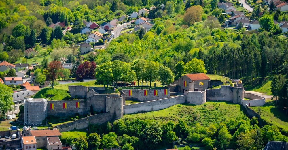
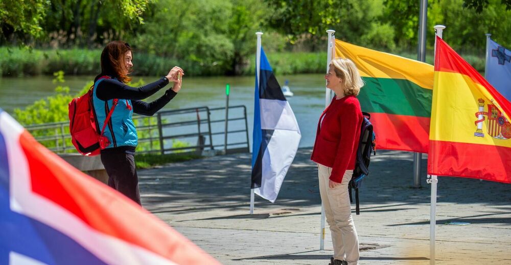
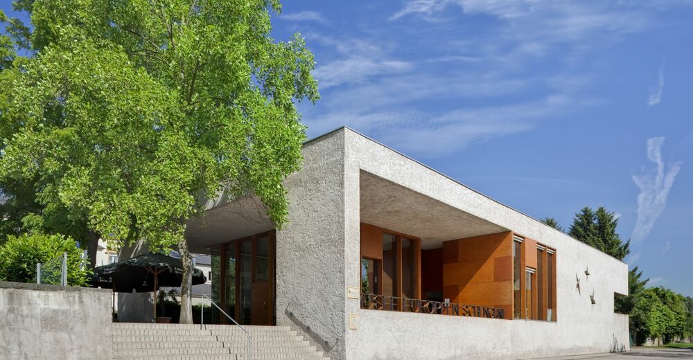
After the hike, we recommend a short visit to the European Museum and Europe Square in Schengen. Learn more about the historic agreement signed here in 1985.
- Additional information
- Directions
-
A8 Saarbrücken –Luxemburg exit Schengen. Continue on the N10 to the European Museum.
- Public transportation
-
By train to Perl, from there by foot over the bridge to Schengen.
- Parking
-
Parking spots in front of the Tourist Info, Rue Robert Goebbels
L-5444 Schengen
- Author
-
The tour "Traumschleife" Schengen without borders is used by outdooractive.com provided.
General info
-
Moselle
244
-
Region Mosel
446
-
Schengen
63


")