
- Brief description
-
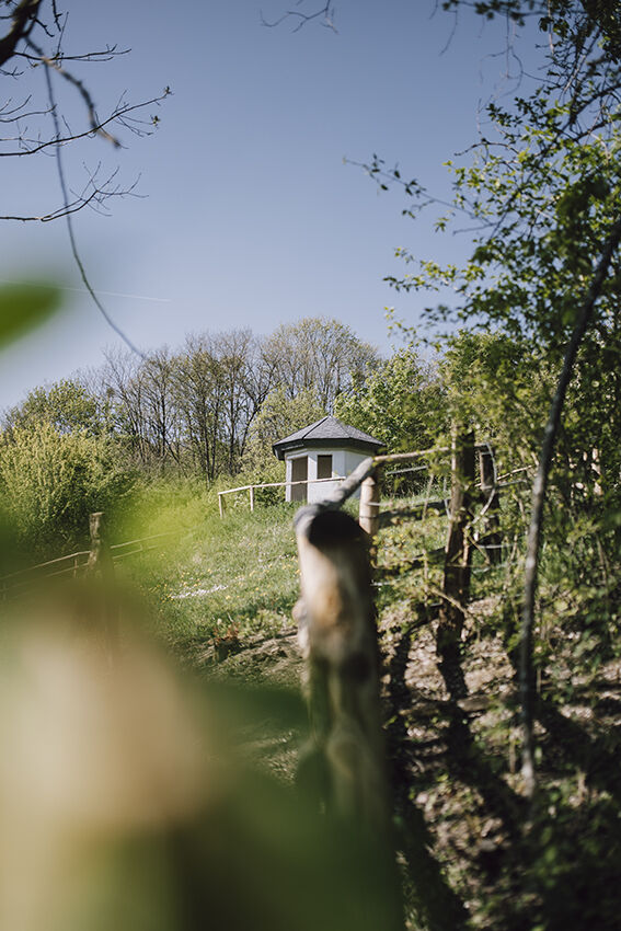
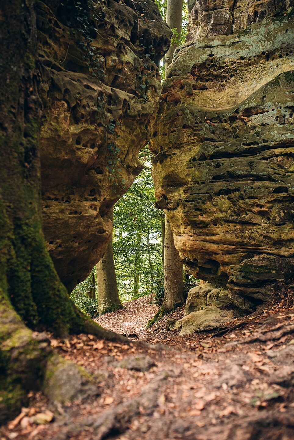
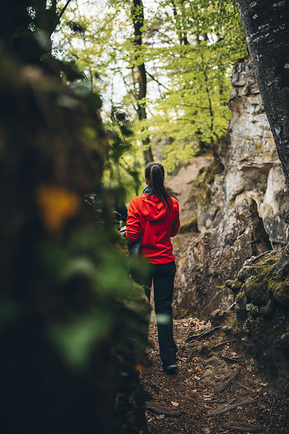
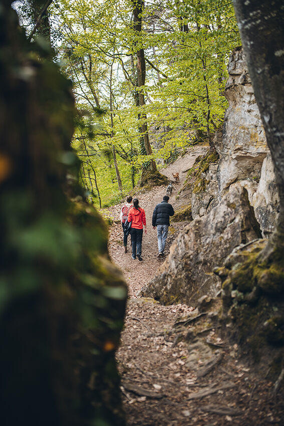
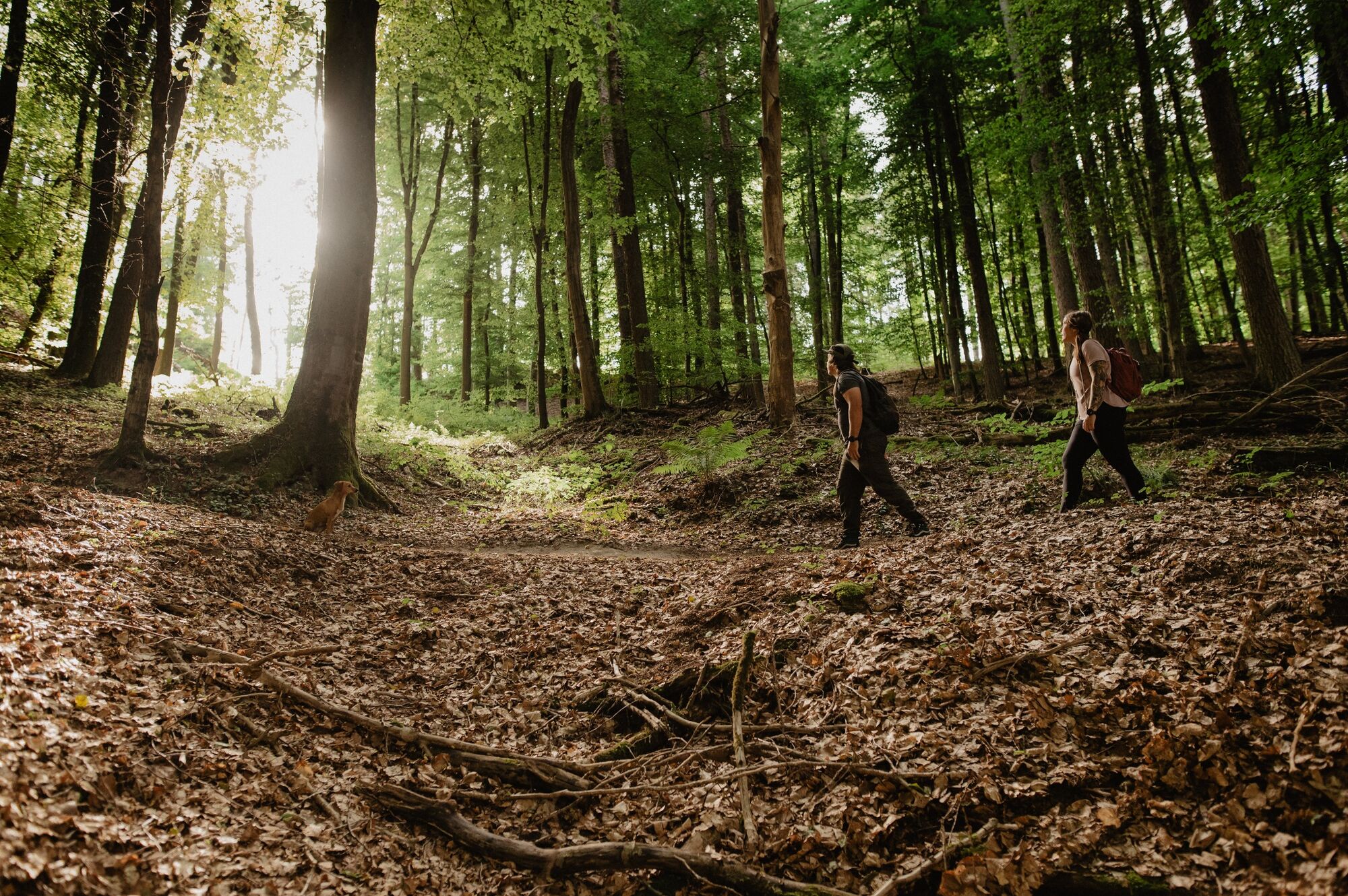
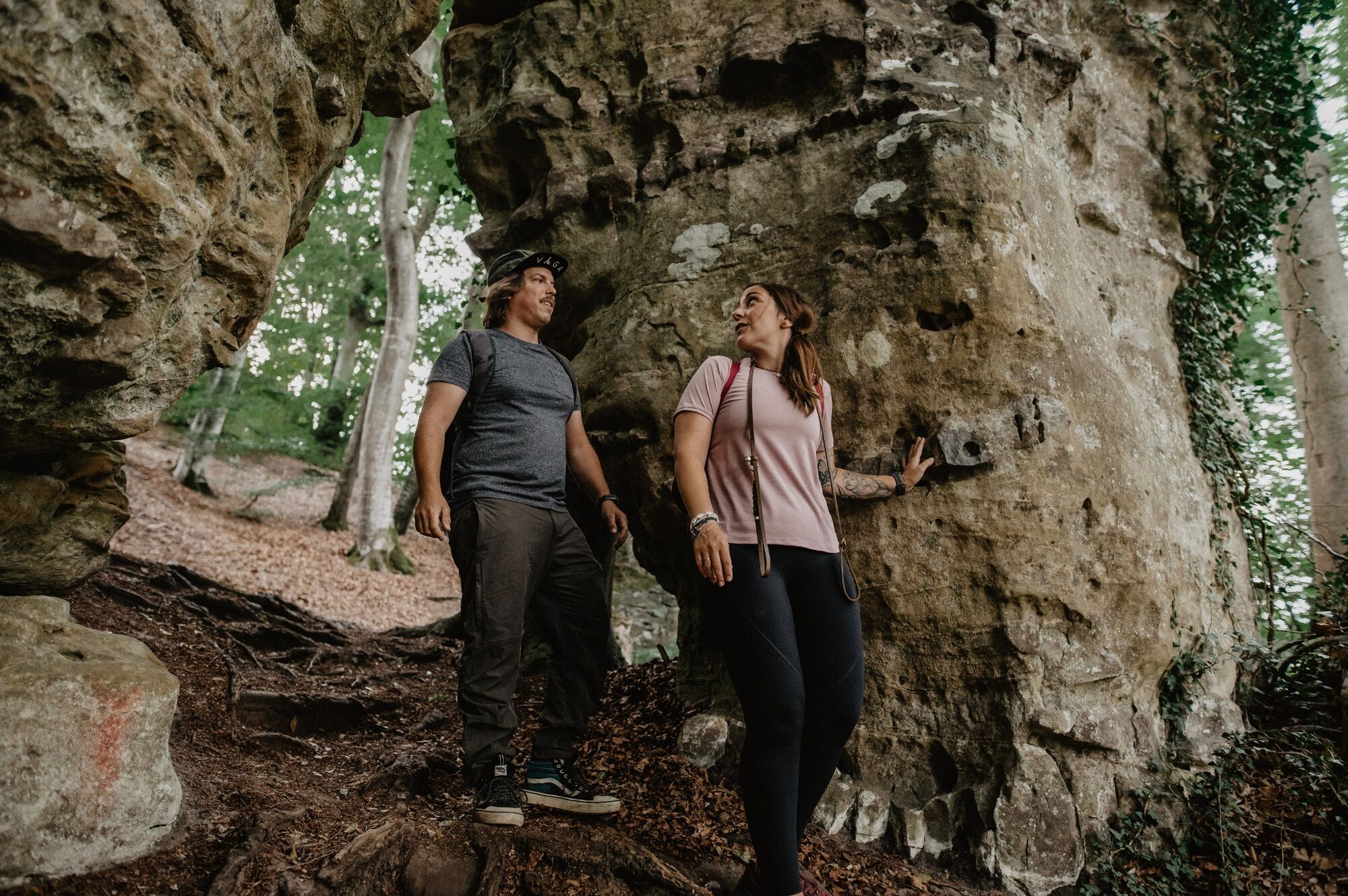
Hidden away in the enchanted forest between Mersch and Schoenfels are many unique, impressive rock and cave formations which will make the hearts of every nature lover beat faster.
- Difficulty
-
medium
- Rating
-
- Starting point
-
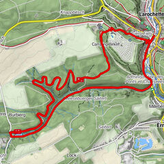
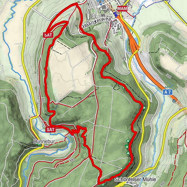
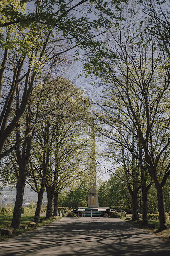
Monument national de l'indépendance 'Obelisk' - Mersch, Krounebierg
- Route
-
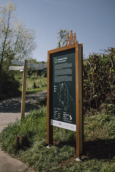
Mamerlach1.4 kmMamerlayen2.8 kmHuellay3.2 kmSchönfels3.3 kmPriedigstull3.9 kmHunnebur4.5 km
- Best season
-
JanFebMarAprMayJunJulAugSepOctNovDec
- Description
-
The highlight of this circuit has to be the "Mamerleeën", a complex of both natural sandstone caves and a network of artificial tunnels. This cave system extends over a thousand metres. Particularly spectacular is the "Huellee" cave, with its view of Schoenfels Castle’s impressive keep.
However, as well as numerous rock and cave formations, there are many other highlights on the Mamerleeën Guttland.Trail which will tempt you to relax and stop for a break, e.g. the large picnic table near the "Huellee" with its lovely view of Schoenfels Castle.
Walk just a little further and you’ll come to the "Hunnebuer" local recreation area, a place associated with many sagas and legends.
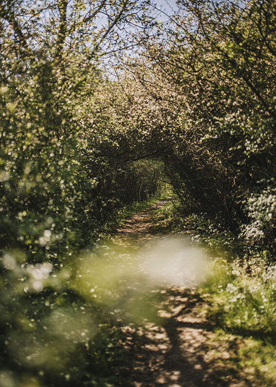
Finally, you’ll walk through the small, unspoilt and mysterious "Wollefsgriecht" gorge, which offers welcome shade on hot summer days and is the perfect way to end this exciting circuit.
- Directions
-
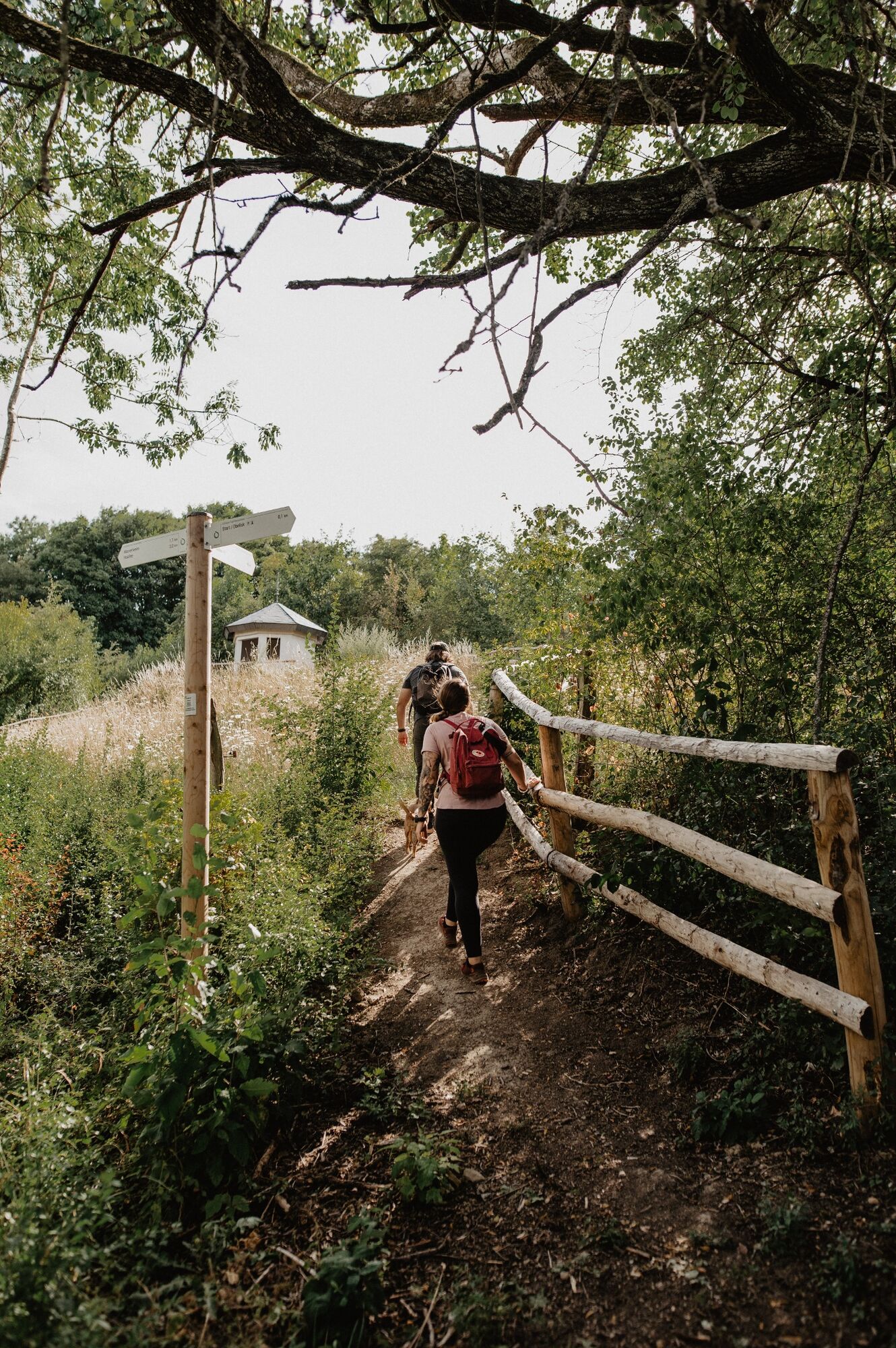
The hiking trail is marked in both walking directions. Please follow the white-green waymarks.
- Highest point
- 366 m
- Endpoint
-
Monument national de l'indépendance 'Obelisk'- Mersch, Krounebierg
- Height profile
-
 © outdooractive.com
 - Equipment
-
Sturdy shoes and something to drink.
- Safety instructions
-
Weather conditions such as wetness, ice and wind can make a tour difficult. The information given refers to optimal conditions.
- Tips
-
The Mamerleeën Guttland.Trail circular walk is perfect for anyone wanting to be a little more athletic.
- Additional information
- Parking
-
Parking spaces at the Monument national de l'indépendance


- Author
-
The tour Guttland.Trail Mamerleeën is used by outdooractive.com provided.