- Brief description
-
The Schumannseck is a national memorial where you can still see traces of the deadly Battle of the Bulge 1944 to 1945.
- Difficulty
-
easy
- Rating
-
- Starting point
-
Melchior House Ruin
- Route
-
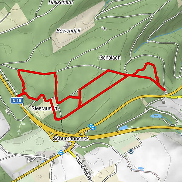
Schumannseck0.4 km
- Best season
-
JanFebMarAprMayJunJulAugSepOctNovDec
- Description
-
Schumannseck was the site of the deadliest fighting in the Battle of the Bulge. For several weeks, the American soldiers and the German army faced each other in a murderous war of position. Thousands of lives were sacrificed. This site preserves the traces of the fighting that took place there from 27 December 1944 to 21 January 1945.
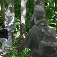
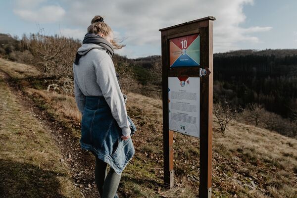
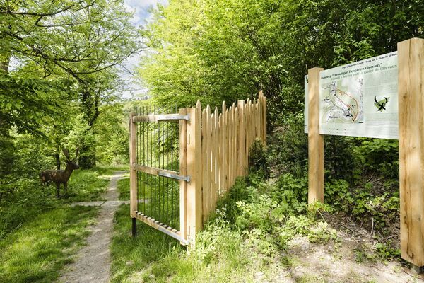
The adventure trail leads right through the remains that are still visible today, such as foxholes, trenches and bomb craters. Along the innovative memorial trail are 65 life-size silhouettes made from original photographs from the time of the battle. These pictures were mainly taken at Schumannseck or in the nearby surroundings. Some of these figures were supplemented with colour photographs of objects from national collections. Reconstructions of military shelters, some of them in old quartzite quarries, give an idea of the conditions under which the soldiers and civilians tried to survive the merciless hand-to-hand combat in the freezing cold winter. With the help of QR codes on the trilingual explanatory panels (FR, EN, DE), 20 thematic stations with more than 150 authentic and moving testimonies can be accessed along the way, as well as new historical insights that can be experienced through sound and video recordings.
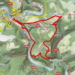
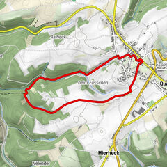
The route is 1.2 km (small loop) or 3.13 km (full loop).
Guided tours can be booked on request.
- Highest point
- 517 m
- Endpoint
-
Melchior House Ruin
- Height profile
-
© outdooractive.com
- Equipment
-
Bring sturdy shoes and appropriate clothing.
- Safety instructions
-
Please stay on the marked and signposted path. This is a former battlefield. The path has been secured, but weapons might still be buried and can be dangerous.
- Tips
-
Dont' forget to visit the memorial monument Schumann'seck 1944-1945 situated nearby the path.
- Additional information
-
Secret excavations at this site are strictly prohibited. The archaeological heritage that bears witness to history is a public good protected by the Criminal Code of 7.12.2016.
- Directions
-
Entrance to the site: signposted "Site mémorial Schumannseck 1944-45", located at the crossroads of Schumannseck (Nothum, near Wiltz) on the N15 between Ettelbruck and Bastogne.
- Public transportation
-
Bus stops: Wiltz, Schumann (routes: 537, 614, 615, 622, 624, 627 and 635) and Nothum, Schumann (routes: 614, 615, 620, 624 and 627).
- Parking
-
Nearest parking: Coming from Ettelbruck, direction Bastogne, parking on the old road, about 100 m from the entrance to the site.
- Author
-
The tour Hiking trail Schumannseck - Site Memorial 1944-1945 is used by outdooractive.com provided.


