© Visit Éislek

© Unbekannt

- Brief description
-
From the leisurely afternoon round to the challenging hiking tour, everything is included in the Local Hiking Trails.
- Difficulty
-
easy
- Rating
-
- Starting point
-
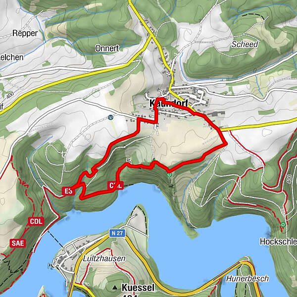
Kaundorf
- Route
-
Saint-Hubert3.2 kmKaundorf3.3 kmBongert3.4 km
- Best season
-
JanFebMarAprMayJunJulAugSepOctNovDec
- Description
-
The local hiking trails are marked with the abbreviations of the municipality where they start. The larger the number that the marker symbol contains, the longer the circular hiking trail. See for yourself the variety of local hiking trails and the different features in the Éislek region.
- Directions
-
The hiking trail is marked in both walking directions. Please follow the white-blue "LH 1" waymarks.
- Highest point
- 458 m
- Endpoint
-
Kaundorf
- Height profile
-
 © outdooractive.com
 - Equipment
-
Sturdy shoes and something to drink.
- Safety instructions
-
Weather conditions such as wetness, ice and wind can make a tour difficult. The information given refers to optimal conditions.
- Additional information
- Public transportation
- Parking
-
A parking place is located directly at the starting point.

- Author
-
The tour Local hiking trail LH 1 - Kaundorf is used by outdooractive.com provided.
GPS Downloads


General info
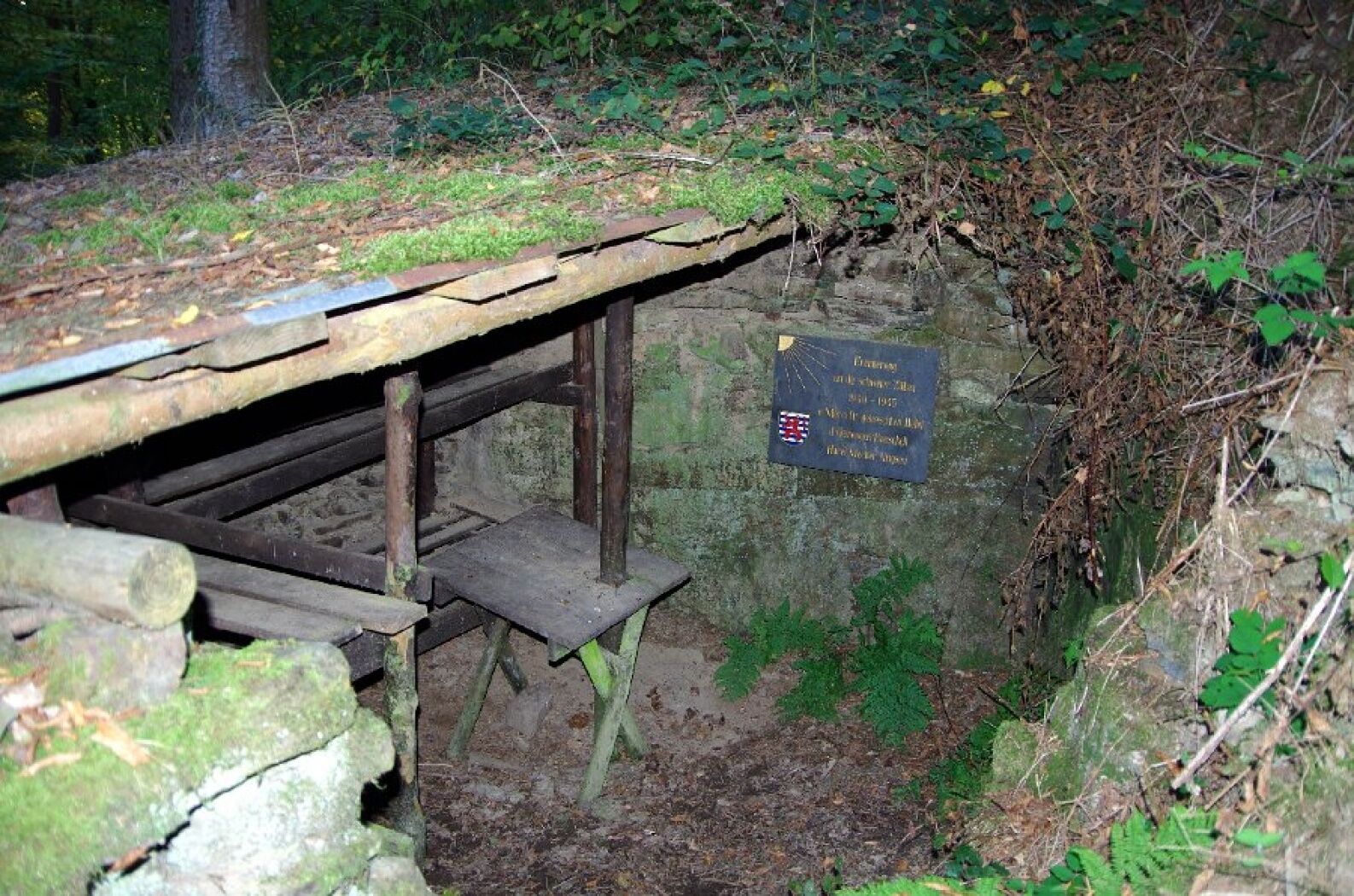
Cultural/Historical
A lot of view
Other tours in the regions