
- Brief description
-
From the leisurely afternoon round to the challenging hiking tour, everything is included in the Local Hiking Trails.
- Difficulty
-
easy
- Rating
-
- Starting point
-
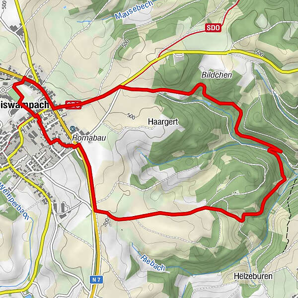
Weiswampach
- Route
-
Weiswampach0.1 kmRestaurant Chez Max0.3 kmWeiswampach6.1 km
- Best season
-
JanFebMarAprMayJunJulAugSepOctNovDec
- Description
-
The local hiking trails are marked with the abbreviations of the municipality where they start. The larger the number that the marker symbol contains, the longer the circular hiking trail. See for yourself the variety of local hiking trails and the different features in the Éislek region.
- Directions
-
The hiking trail is marked in both walking directions. Please follow the white-blue "WW 2" waymarks.
- Highest point
- 512 m
- Endpoint
-
Weiswampach
- Height profile
-
 © outdooractive.com
 - Equipment
-
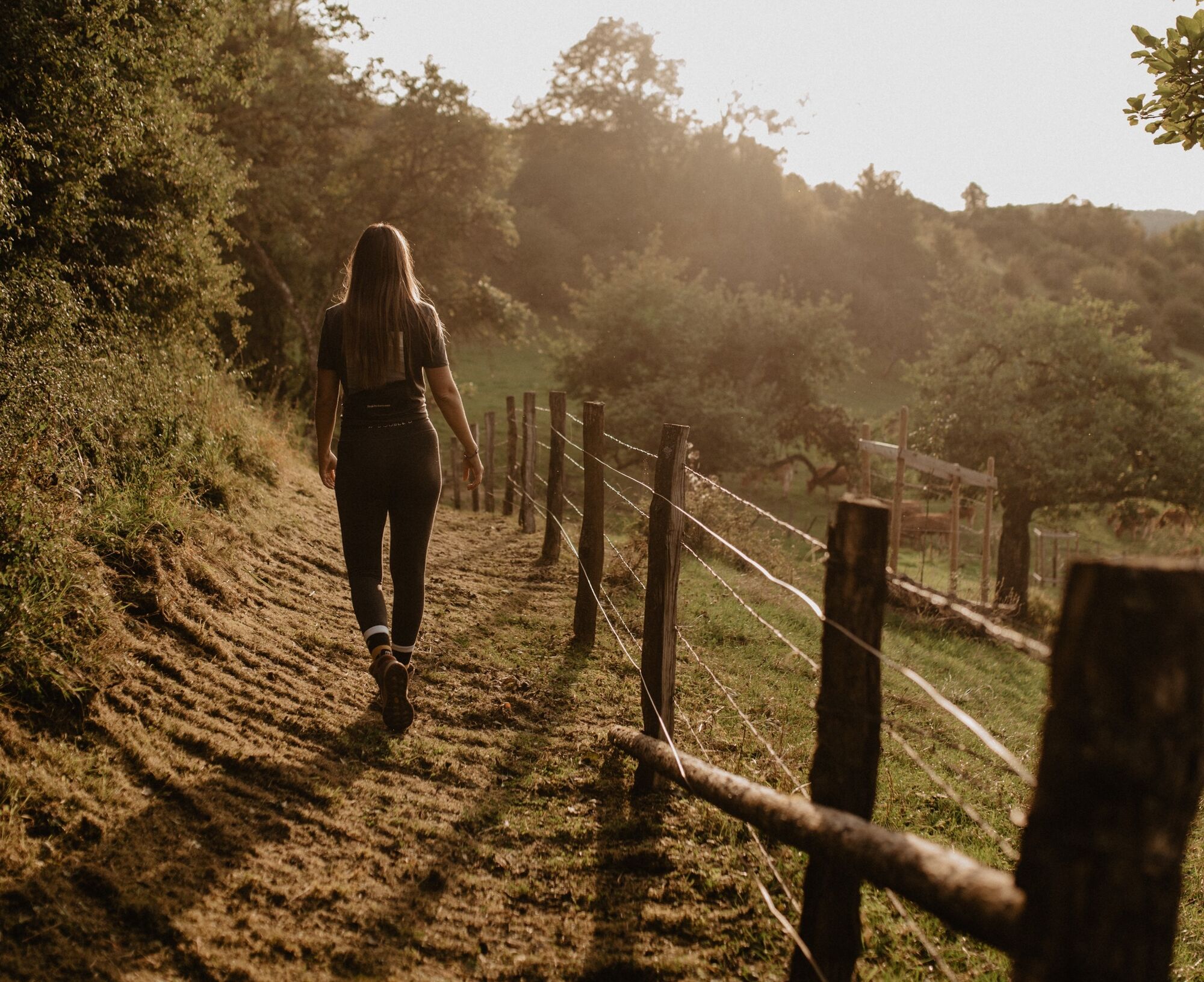
Sturdy shoes and something to drink.
- Safety instructions
-
Les conditions météorologiques telles que l'humidité, la glace et le vent peuvent rendre une randonnée plus difficile. Les indications se réfèrent à des conditions optimales.
- Additional information
- Public transportation
- Parking
-
A parking place is located directly at the starting point.

- Author
-
The tour Local hiking trail WW 2 - Weiswampach is used by outdooractive.com provided.