
- Brief description
-
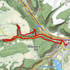
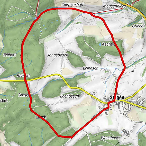
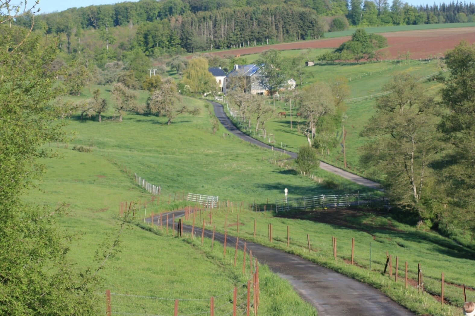
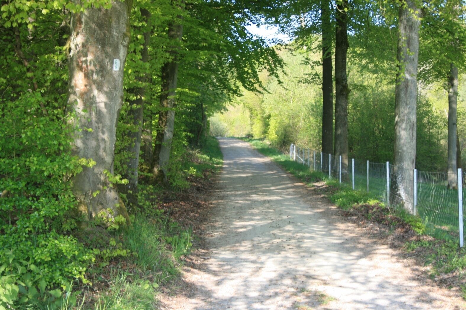
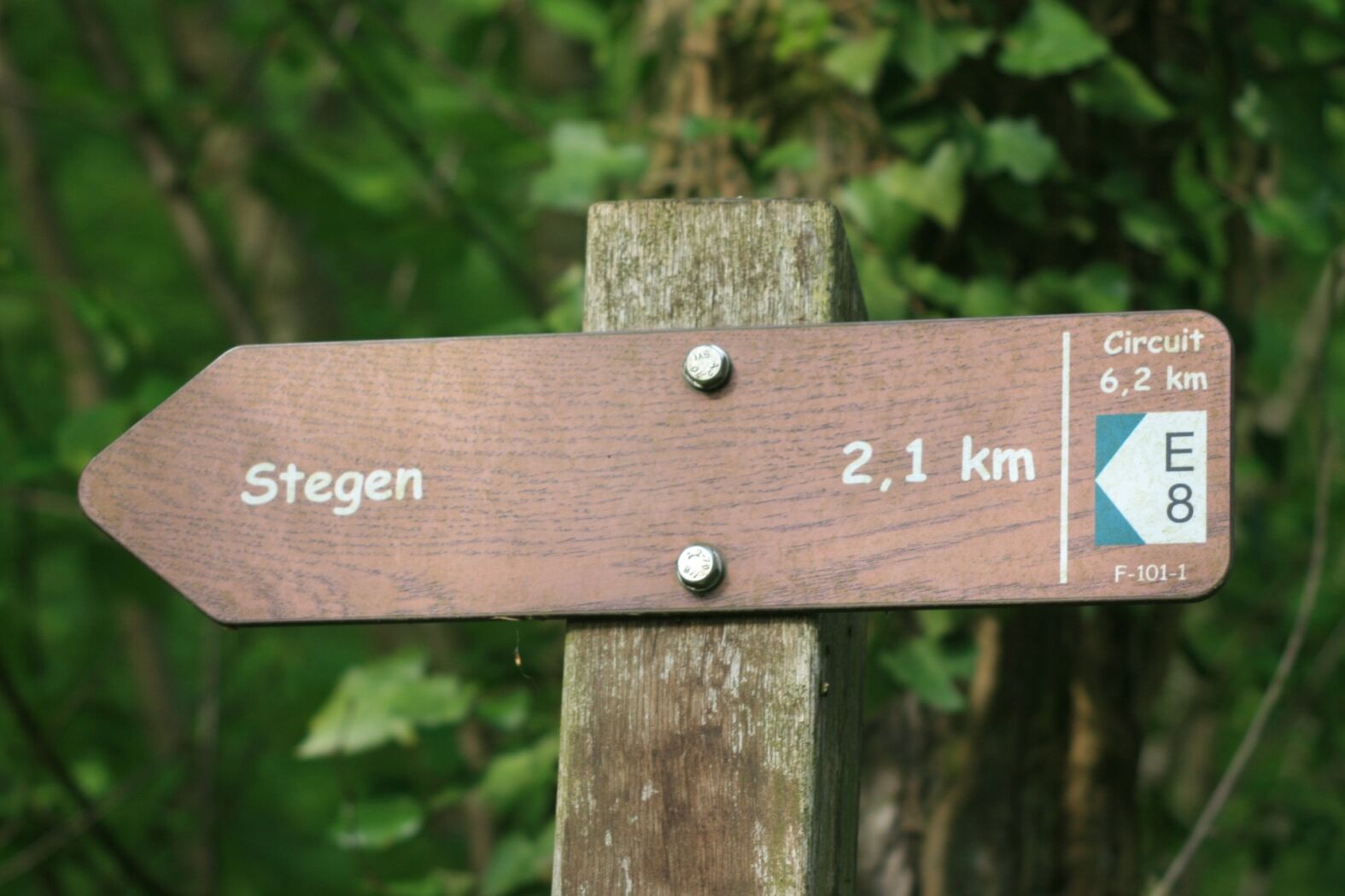
The trail starts in Stegen opposite to the church and leads across open fields and through beautiful forest landscapes.
- Difficulty
-
easy
- Rating
-
- Starting point
-
Stegen: Church
- Route
-
Saint-Barthélemy0.0 kmStegen0.1 kmLaach4.7 kmStegen6.1 kmSaint-Barthélemy6.2 km
- Best season
-
JanFebMarAprMayJunJulAugSepOctNovDec
- Description
-
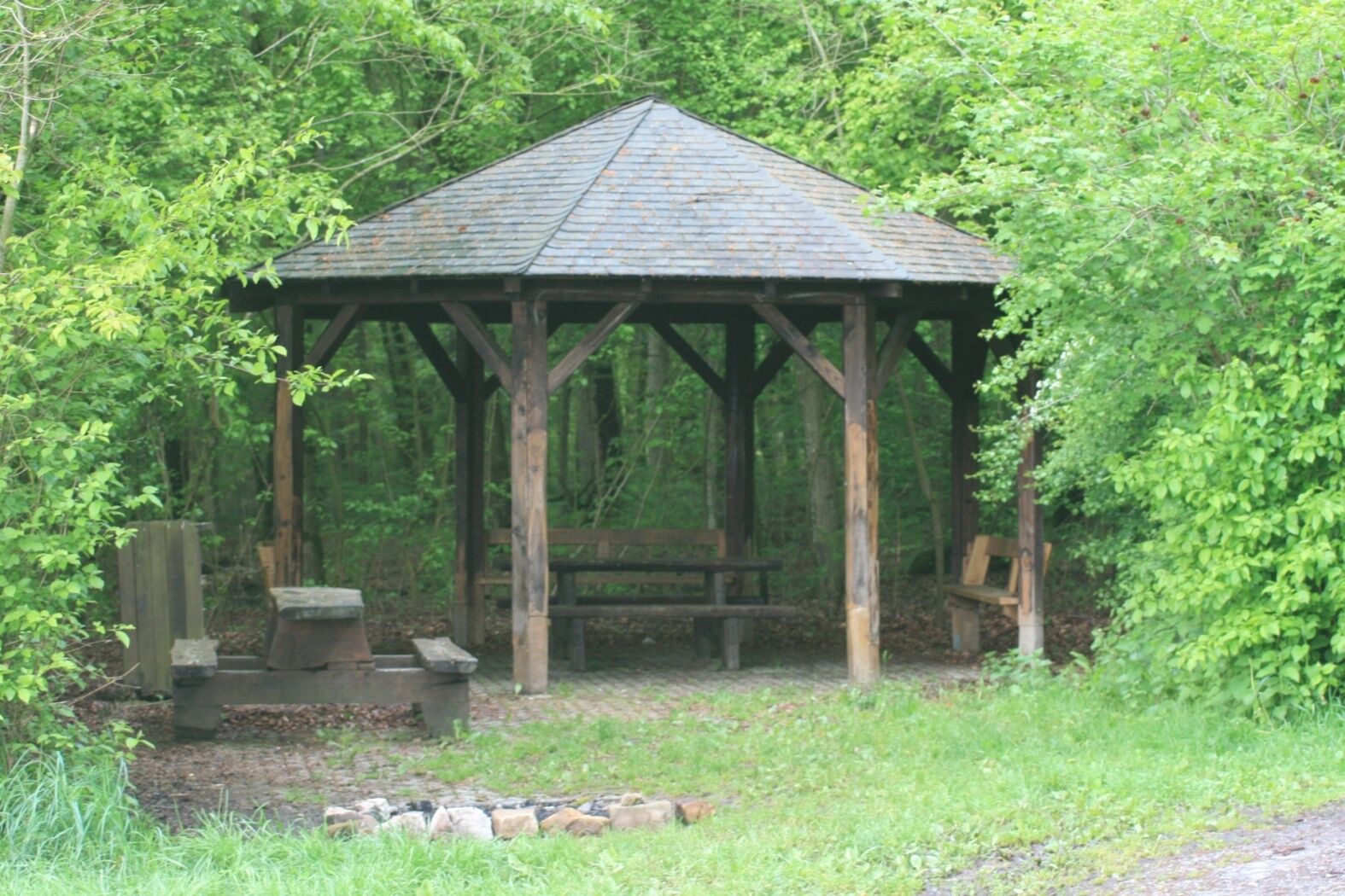
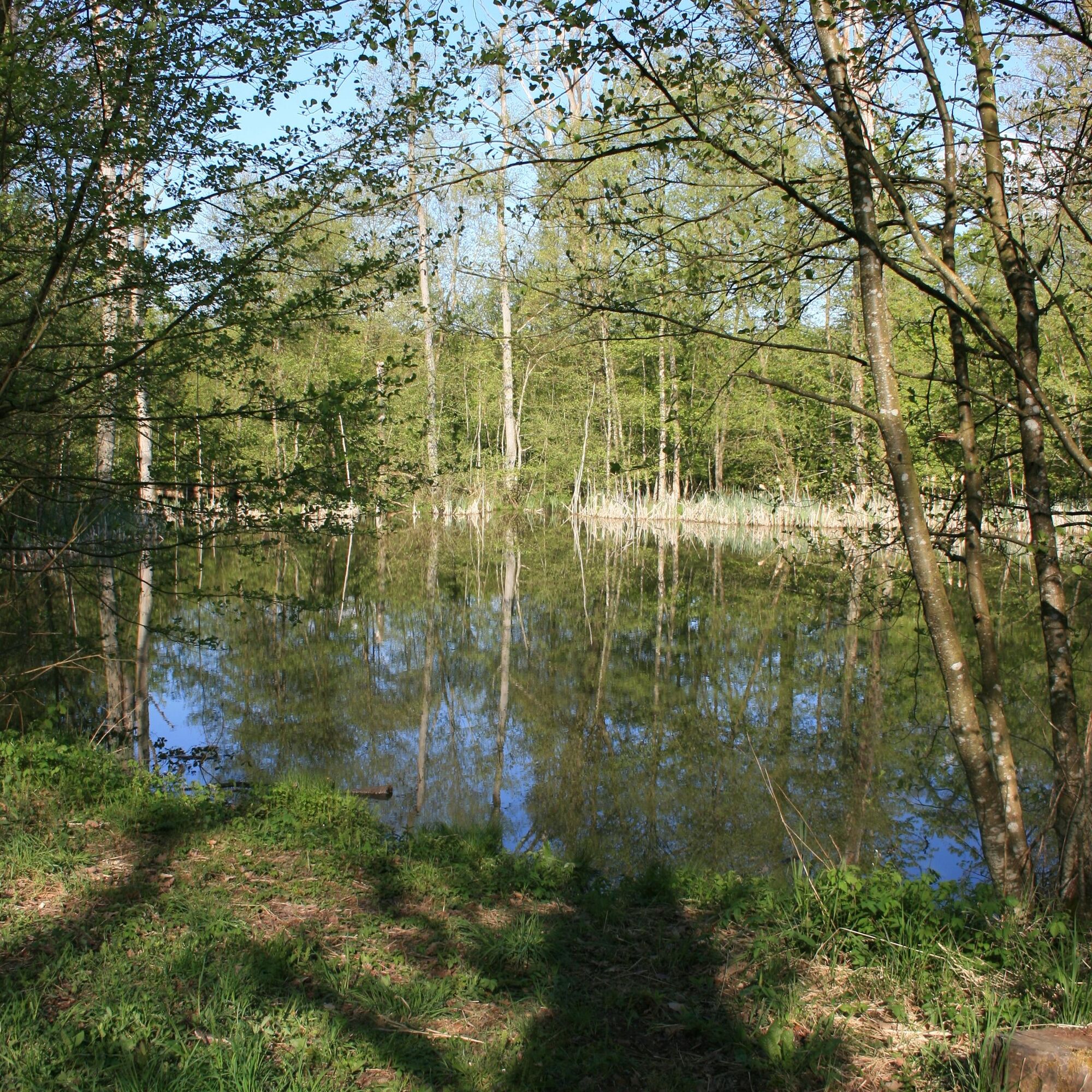
The path first takes you through the fields towards Mouschbierg and Clemenshaff with beautiful views of the Ösling (Éislek). Benches invite you to rest at a small pond. The second part of the hike leads through the beautiful woods of Gebranntebësch and Groussreiserbësch and passes by a picnic area at Laangen Heedbësch. From there you walk back to the starting point in Stegen. Go and visit the biologically produced cheese of Baltes.
- Highest point
- 359 m
- Endpoint
-
Stegen: Church
- Height profile
-
 © outdooractive.com
 - Equipment
-
Sturdy shoes recommended, especially in wet weather.
- Tips
-
Visit the Biokäserie Baltes in Stegen and try, among other things, the delicious goat cheese!
- Additional information
- Public transportation
-
Closest bus stop: Stegen, Eglise (50 m)
- Parking
-
Closest parking lot: Schrondweiler Strooss

- Author
-
The tour Local hiking trail - E8 is used by outdooractive.com provided.


General info
-
Müllerthal
549
-
Diekirch
183