
- Brief description
-
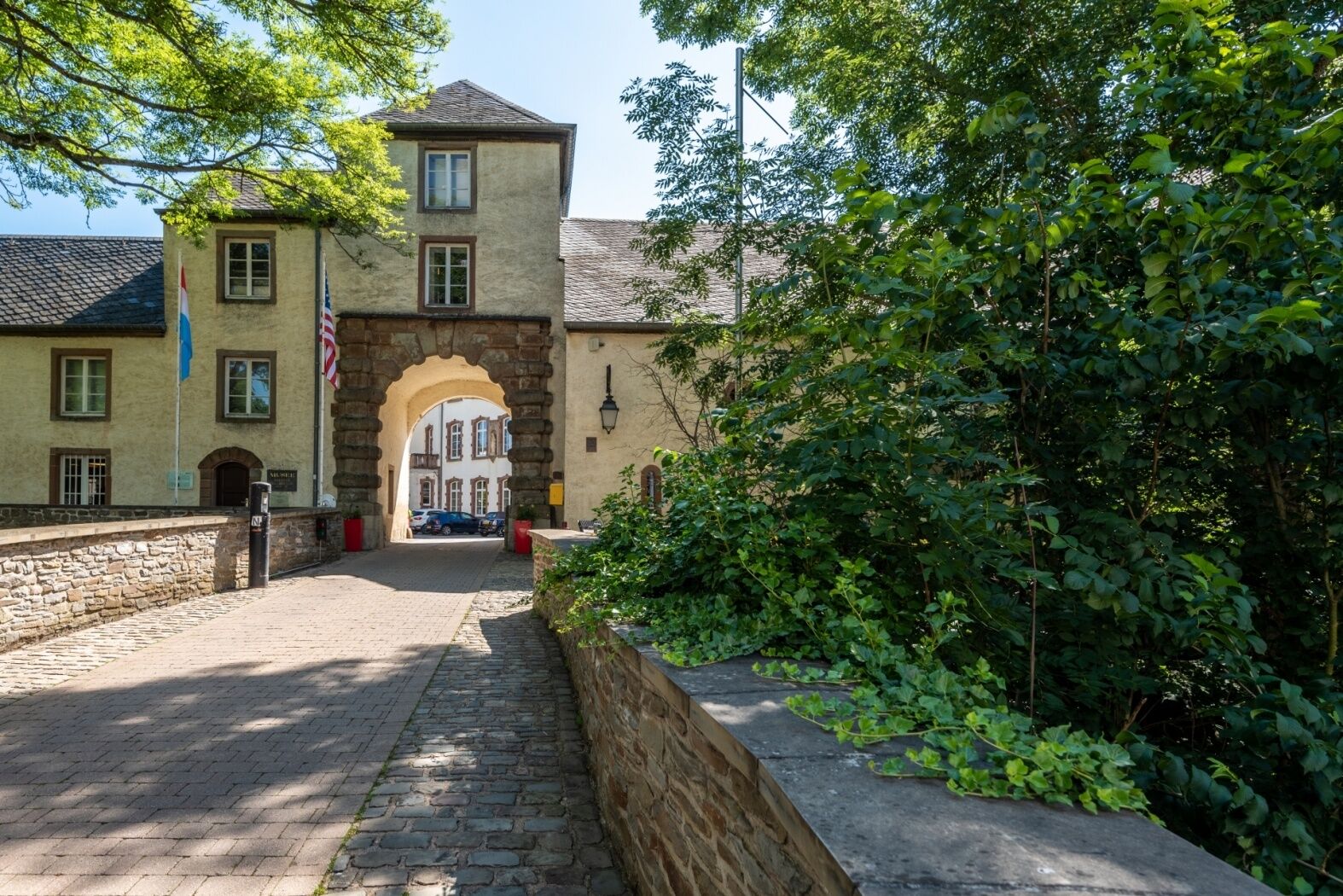
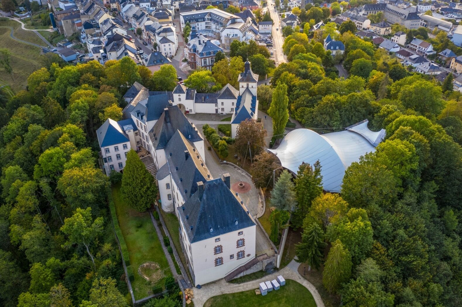
Past castle and garden
- Difficulty
-
easy
- Rating
-
- Starting point
-
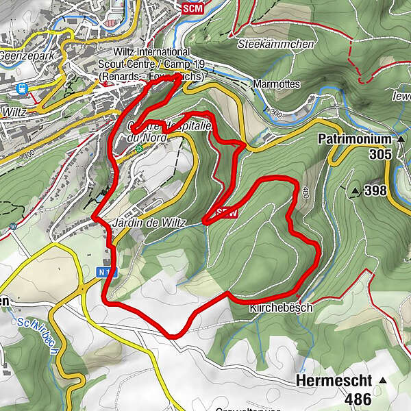
Wiltz - Castle
- Route
-
Notre-Dame Consolatrice des Affligés6.2 kmWiltz6.3 km
- Best season
-
JanFebMarAprMayJunJulAugSepOctNovDec
- Description
-
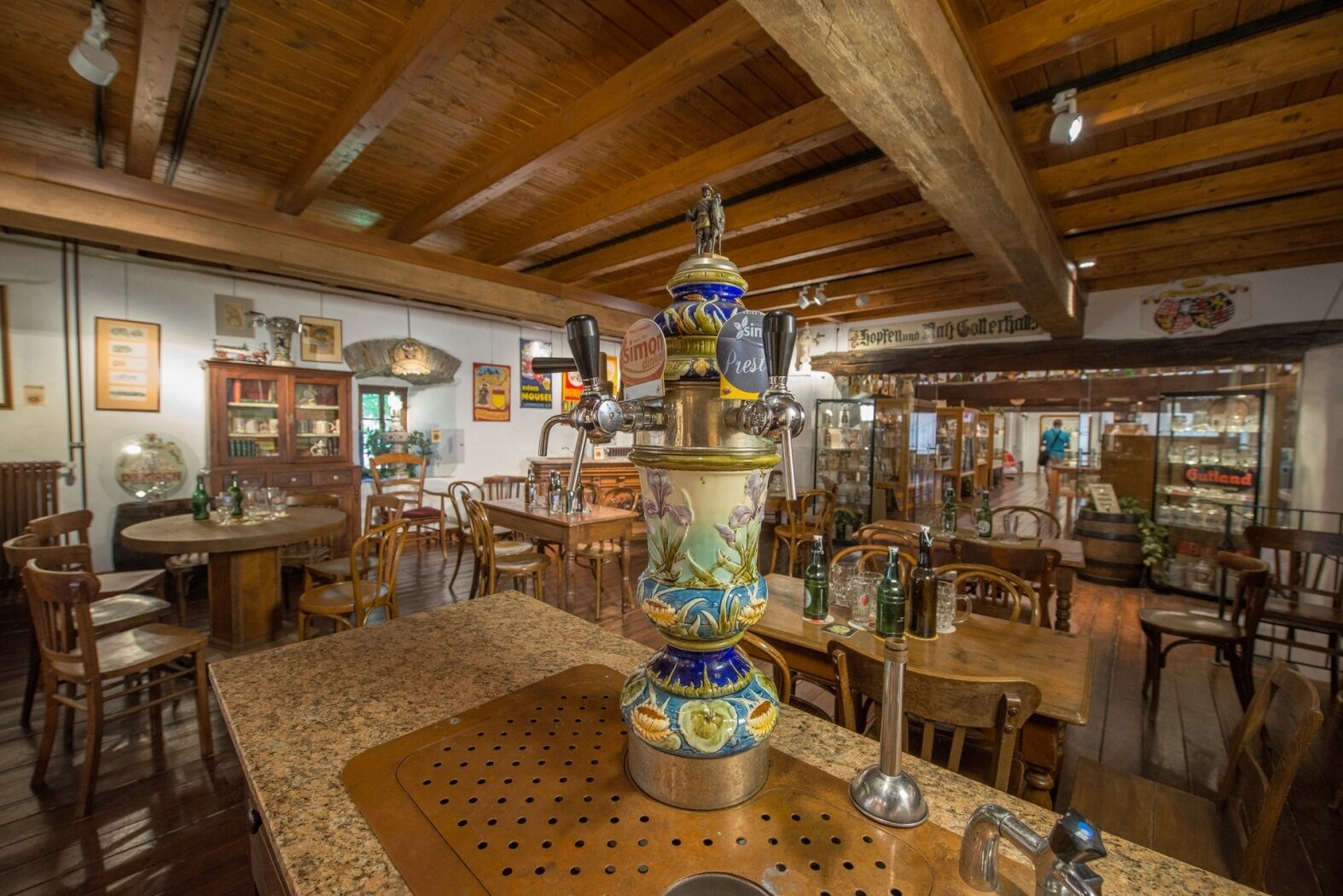
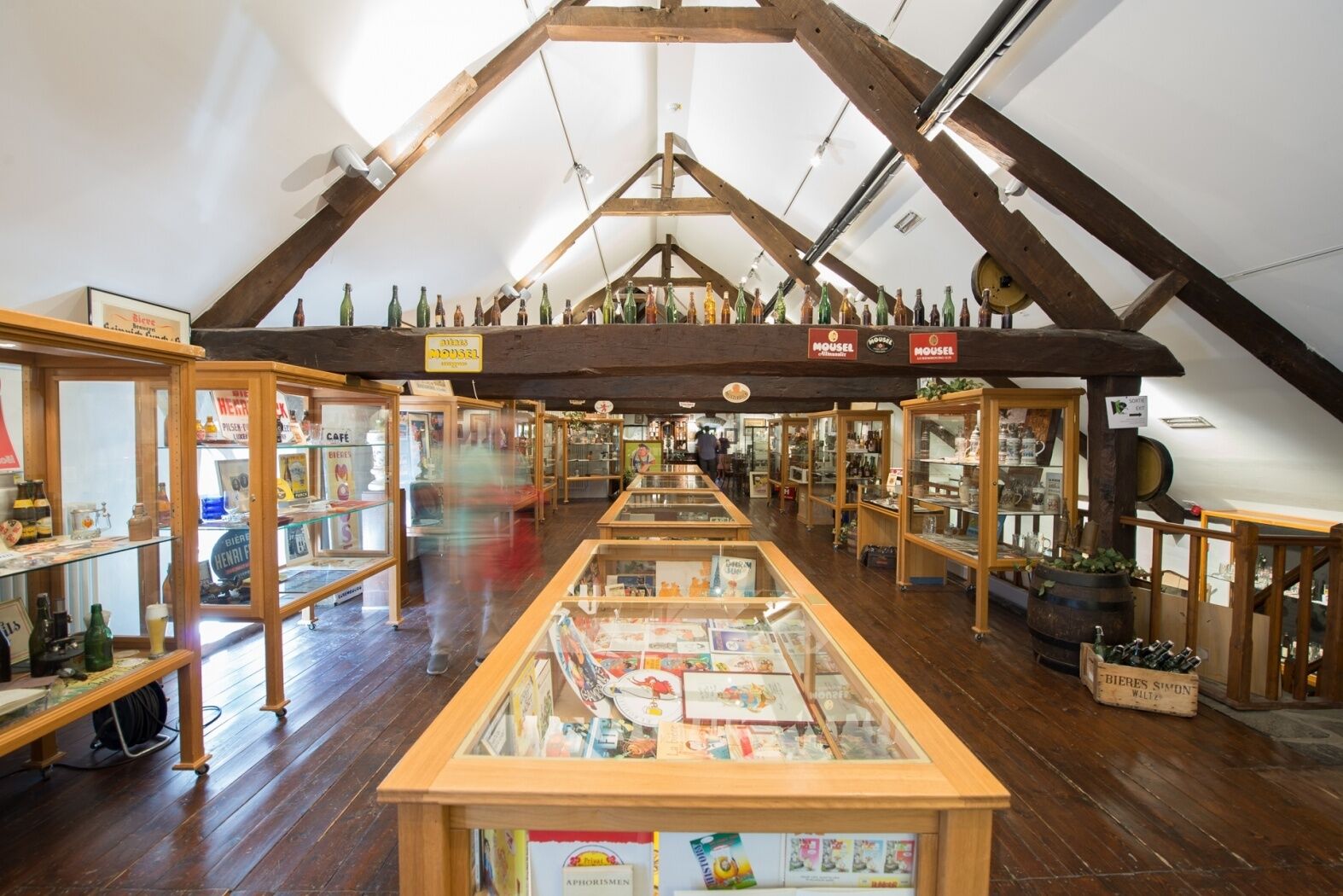
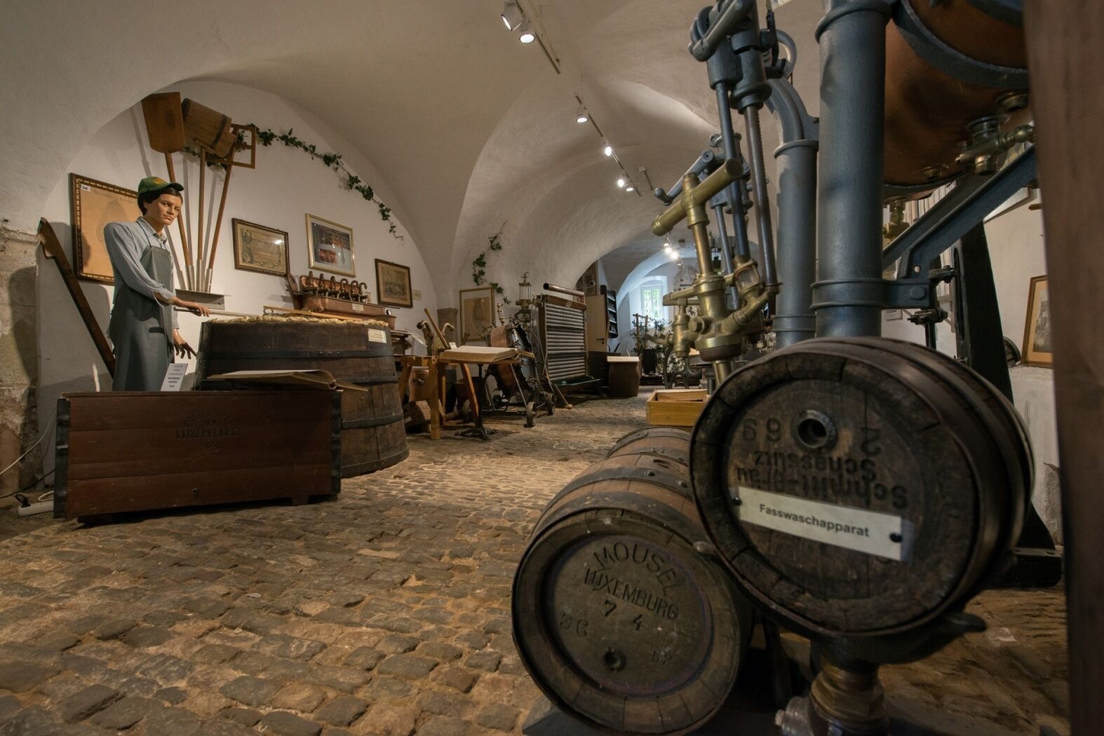
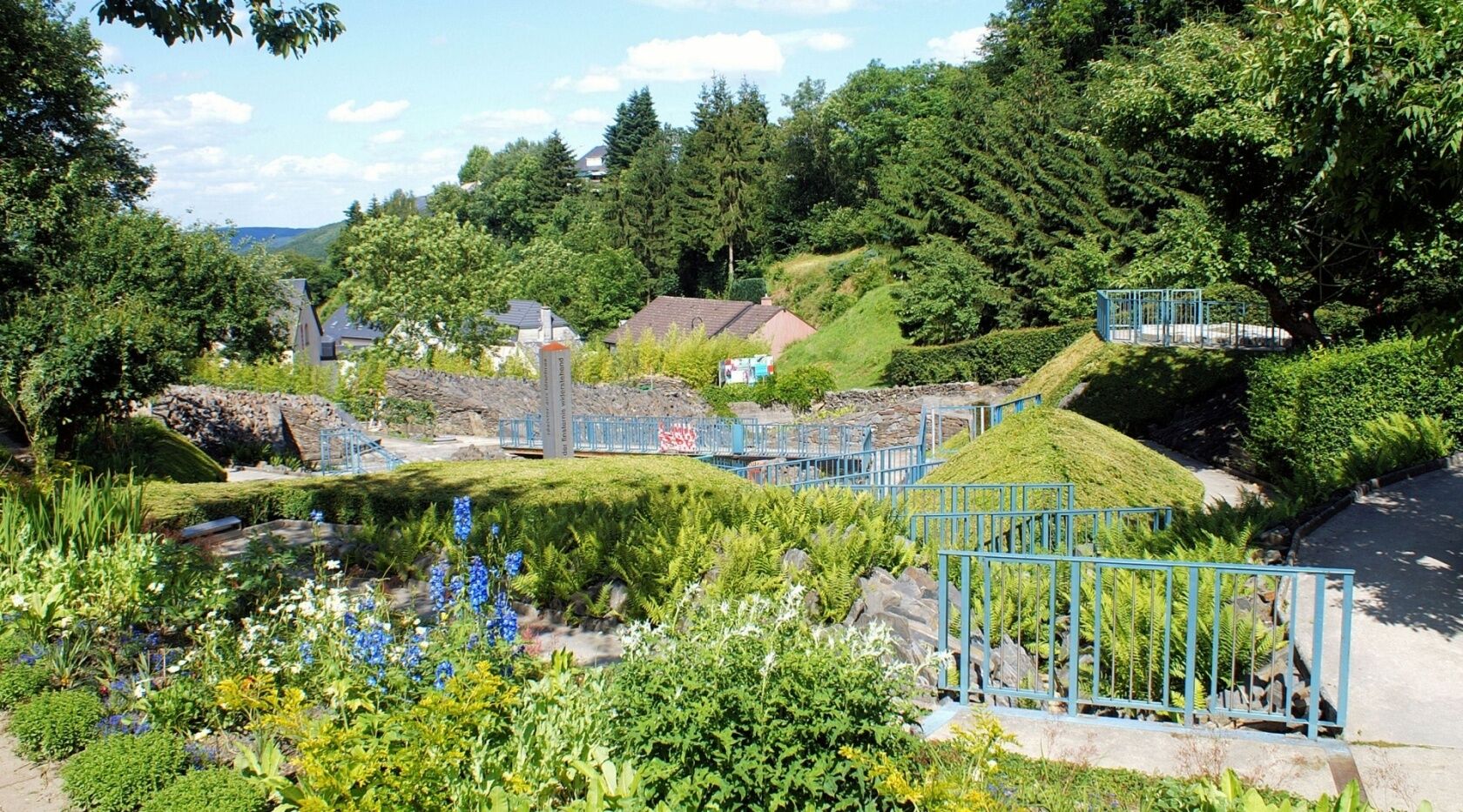
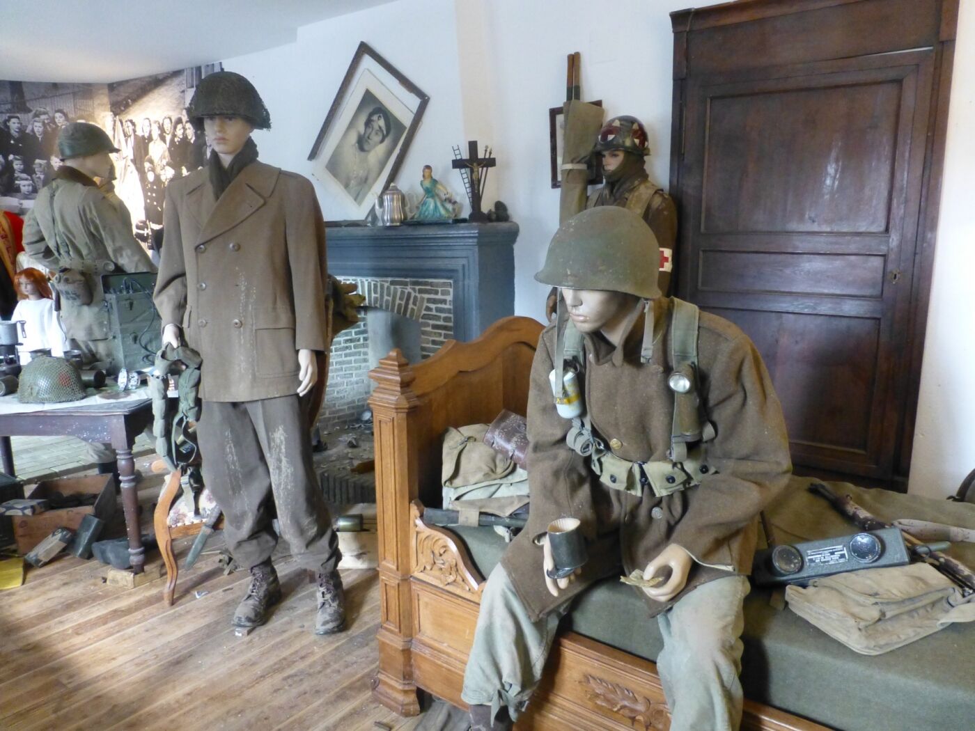
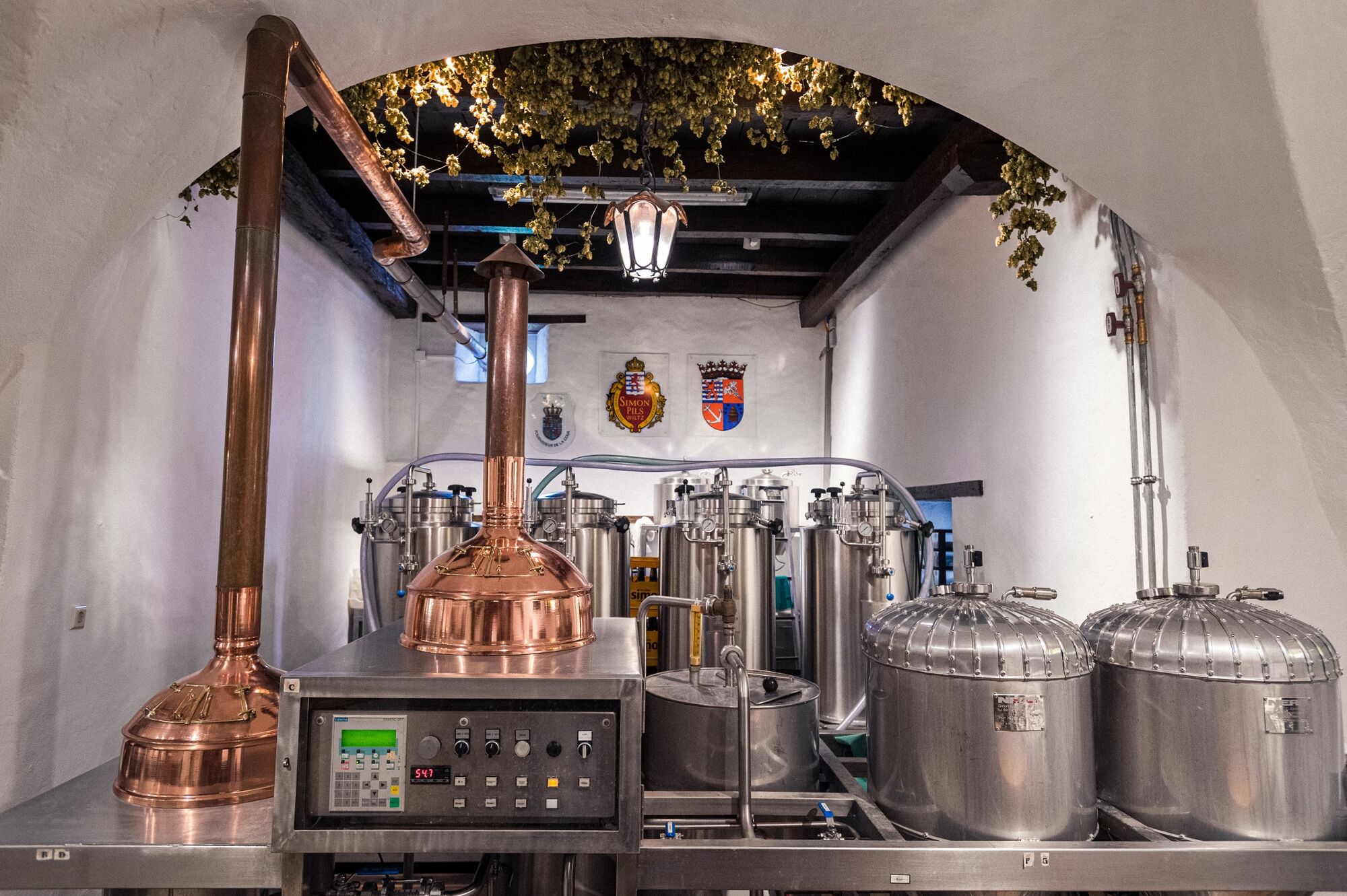
This tour takes you past the castle, or rather right through it. It‘s worth taking a look inside, because here you‘ll learn that brewing is also an art. From the witchʼs tower, the lord of the castle greets you in full armour and shows you the way to the Wiltz woods, which you will cross. Back in civilisation, the artistic "Jardin de Wiltz" awaits you. You should have seen it!
- Directions
-
The hiking trail is marked in both walking directions. Please follow the white-blue "WI 4" waymarks.
- Highest point
- 469 m
- Endpoint
-
Wiltz - Castle
- Height profile
-
 © outdooractive.com
 - Equipment
-
Sturdy shoes and something to drink.
- Safety instructions
-
Weather conditions such as wetness, ice and wind can make a tour difficult. The information given refers to optimal conditions.
- Tips
-
Highlights: Jardin de Wiltz, View "Stèle 2000", Wiltz Castle
- Additional information
- Public transportation
- Parking
-
A parking place is located directly at the starting point.


- Author
-
The tour Local hiking trail WI 4 - Wiltz is used by outdooractive.com provided.