
- Brief description
-
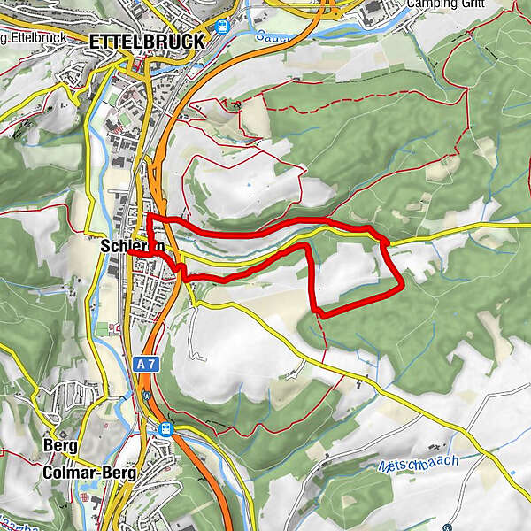
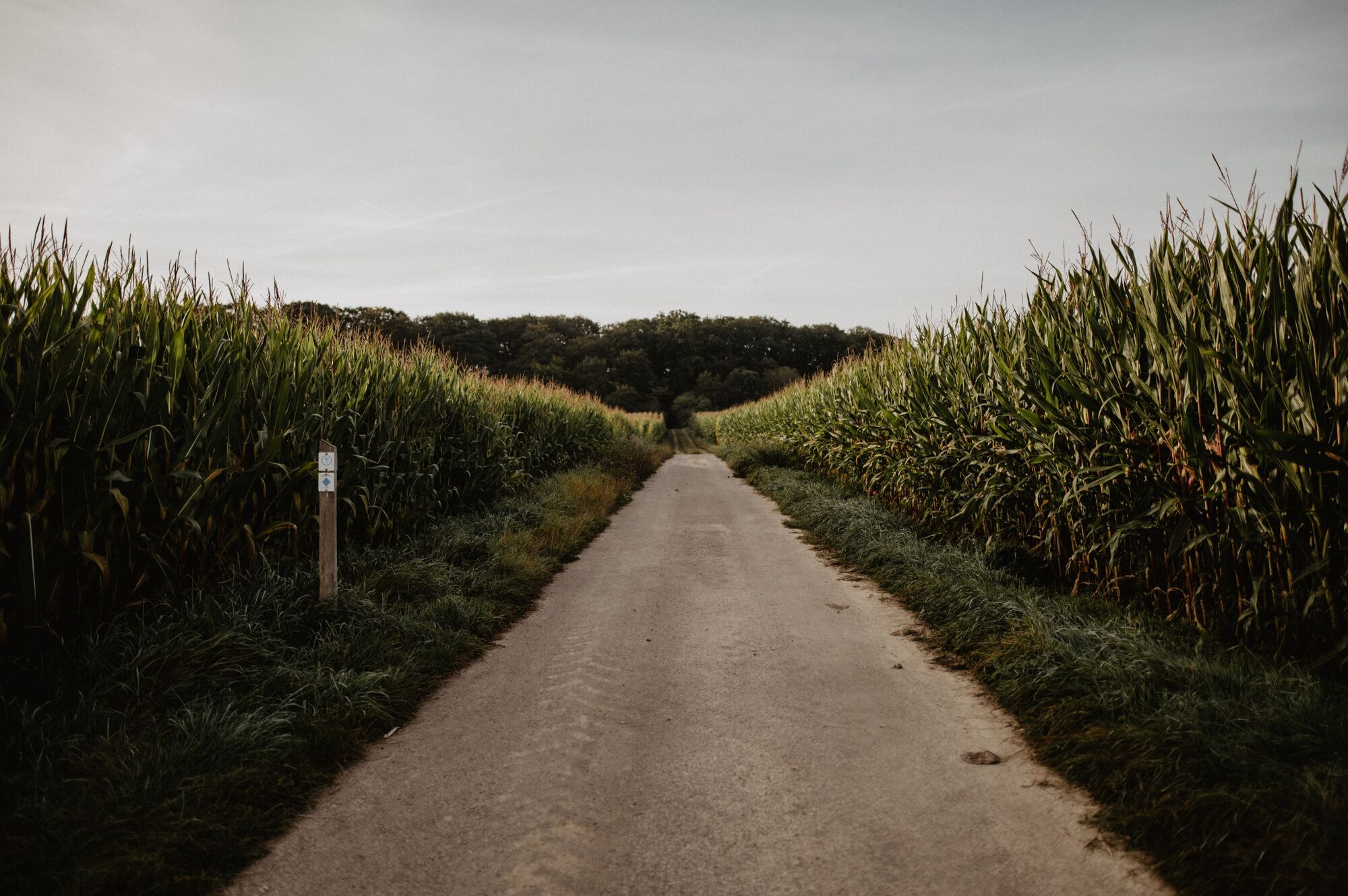
Through forest and meadow
- Difficulty
-
easy
- Rating
-
- Starting point
-
Church, Route de Luxembourg, Schieren
- Route
-
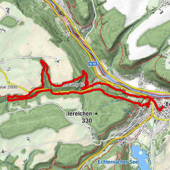
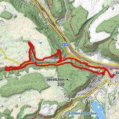
Gran SassoSchieren0.0 kmSaint-Blaise0.0 kmSaint-Blaise6.8 kmSchieren6.9 kmGran Sasso6.9 km
- Best season
-
JanFebMarAprMayJunJulAugSepOctNovDec
- Description
-
A hiking trail perfect for a spontaneous afternoon trip: You start in Schieren, at the monument by the church, and then leave the town behind you. The trail takes you across wide fields and dense forests. Finally, you look down on the town from atop before heading back again.
- Directions
-
The hiking trail is marked in both walking directions. Please follow the white-blue "SI 1" waymarks.
- Highest point
- 357 m
- Endpoint
-
Church, Route de Luxembourg, Schieren
- Height profile
-
 © outdooractive.com
 - Equipment
-
Sturdy shoes and something to drink.
- Safety instructions
-
Weather conditions such as wetness, ice and wind can make a tour difficult. The information given refers to optimal conditions.
- Tips
-
Highlights: War memorial, View of Schieren, Kiselbach
- Additional information
- Public transportation
- Parking
-
A parking place is located directly at the starting point.
- Author
-
The tour Local hiking trail SI 1 - Schieren is used by outdooractive.com provided.


General info
-
Guttland
413
-
Ettelbruck
162