© Visit Éislek

- Brief description
-
To the stone bridge
- Difficulty
-
medium
- Rating
-
- Starting point
-
Parking, Rue Abbé Neuens, Bilsdorf
- Route
-
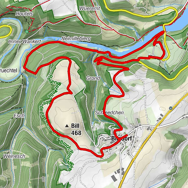
Bilsdorf0.1 kmBill (468 m)1.0 kmSaint-Hubert8.8 kmBilsdorf8.9 km
- Best season
-
JanFebMarAprMayJunJulAugSepOctNovDec
- Description
-
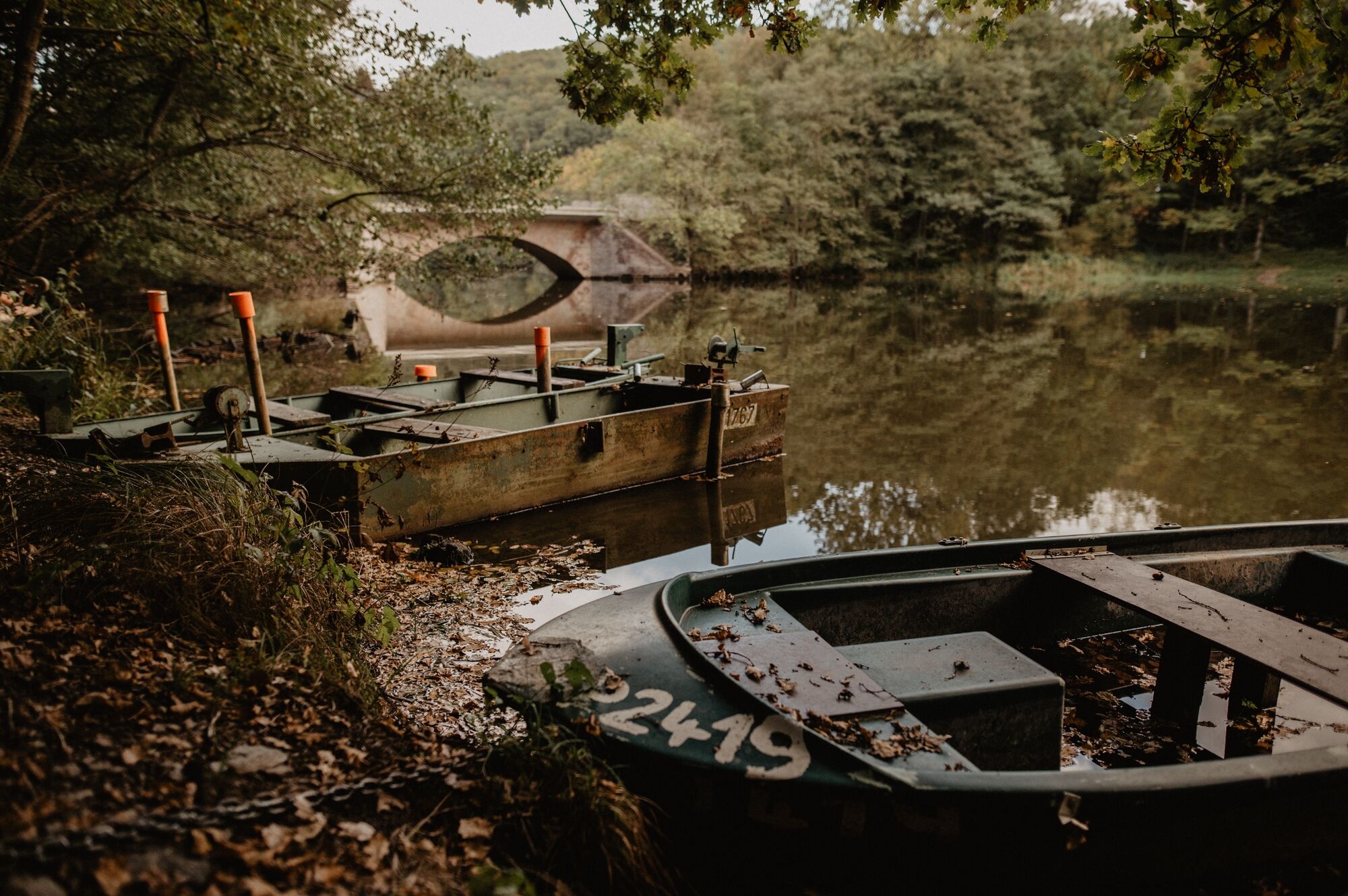
This hike starts in Bilsdorf and takes you past the Misärshaff. Now you have already completed a good part of the trail. The tour continues down to the bridge, over the Sûre, which is slowly damming up, over wooden footbridges and through a nature and bird reserve.
- Directions
-
The hiking trail is marked in both walking directions. Please follow the white-blue "RB 6" waymarks.
- Highest point
- 455 m
- Endpoint
-
Parking, Rue Abbé Neuens, Bilsdorf
- Height profile
-
 © outdooractive.com
 - Equipment
-
Sturdy shoes and something to drink.
- Safety instructions
-
Weather conditions such as wetness, ice and wind can make a tour difficult. The information given refers to optimal conditions.
- Tips
-
Highlights: Sûre, Pont misère, Sculpture Trail
- Additional information
- Public transportation
- Parking
-
A parking place is located directly at the starting point.
- Author
-
The tour Local hiking trail RB 6 - Bilsdorf is used by outdooractive.com provided.
GPS Downloads


General info
A lot of view
Other tours in the regions