
- Brief description
-
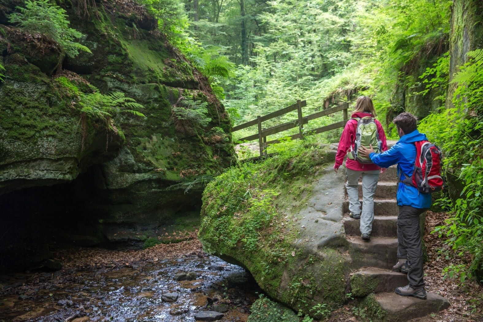
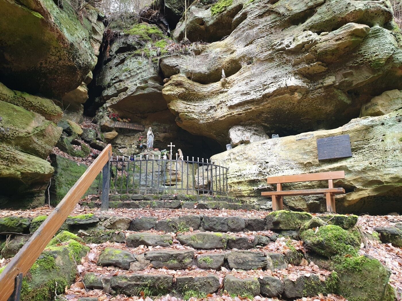
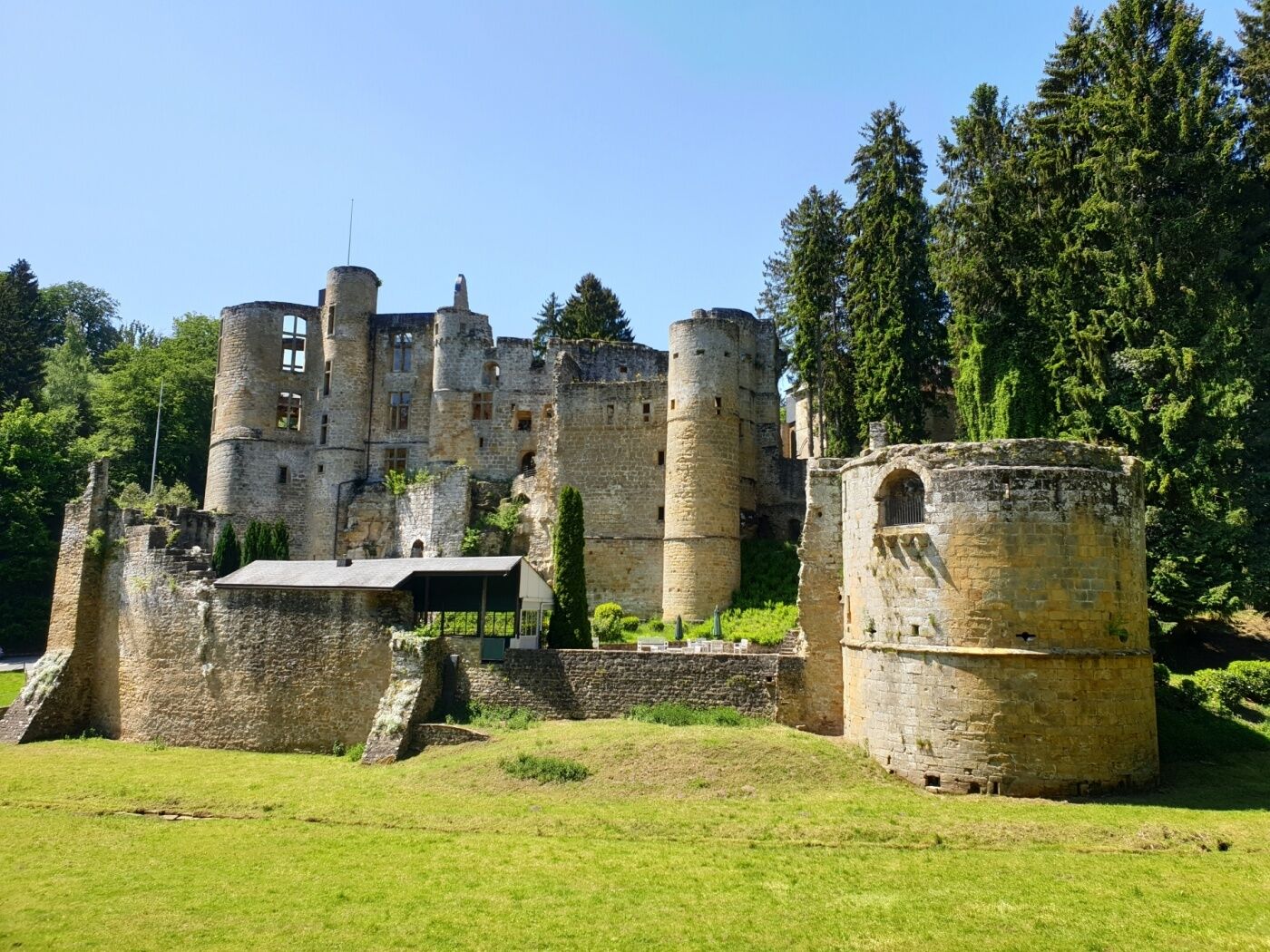
Long hike, mainly leading over Route 3 of the Mullerthal Trail. Highlights are the castle in Beaufort, wild valleys and spectacular rock formations.
- Difficulty
-
medium
- Rating
-
- Starting point
-
Beaufort: castles
- Route
-
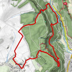
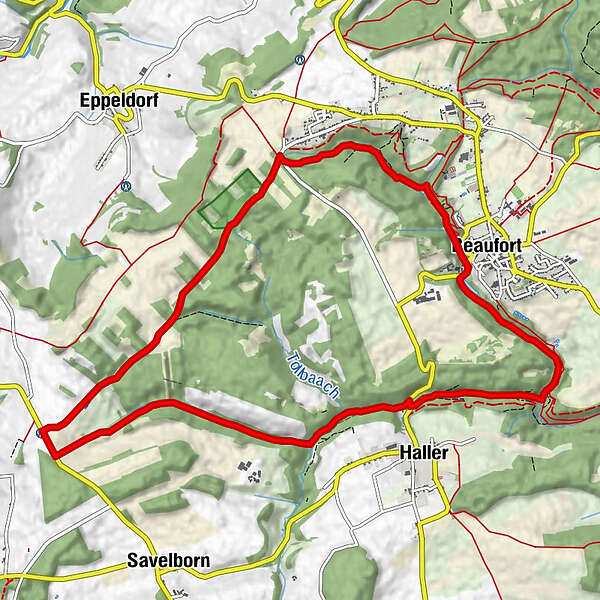
Befort0.2 kmBerens2.3 kmSiewebaach7.5 kmHaller8.8 kmBefort11.6 km
- Best season
-
JanFebMarAprMayJunJulAugSepOctNovDec
- Description
-
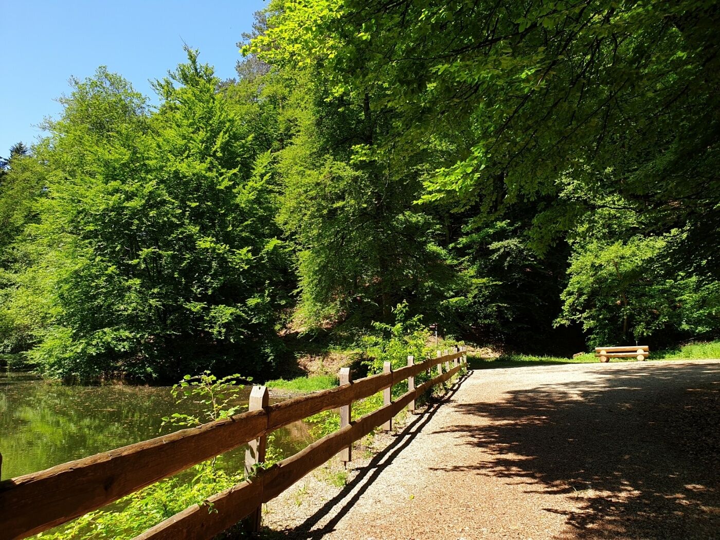
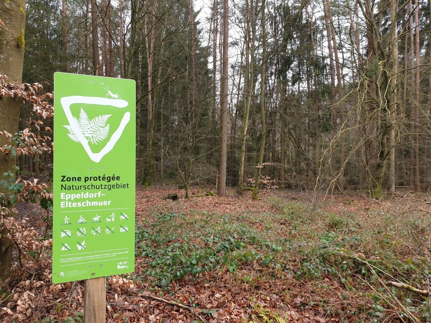
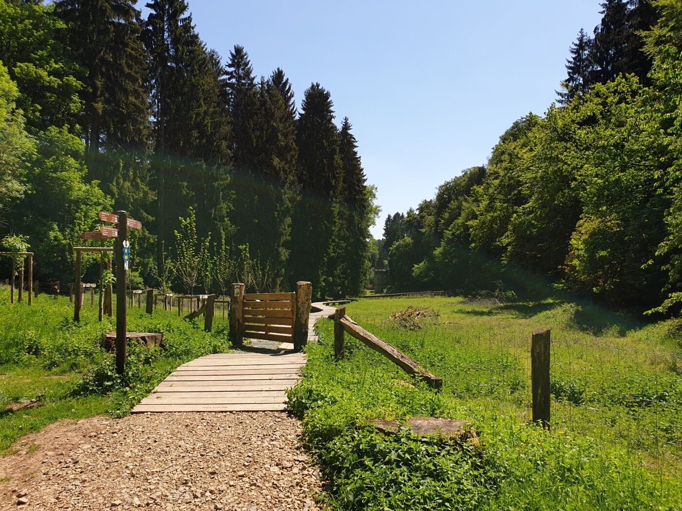
The trail leads through forests and along the wildly romantic creeks of Haupeschbaach and Halerbaach. You get different perspectives in all the seasons.
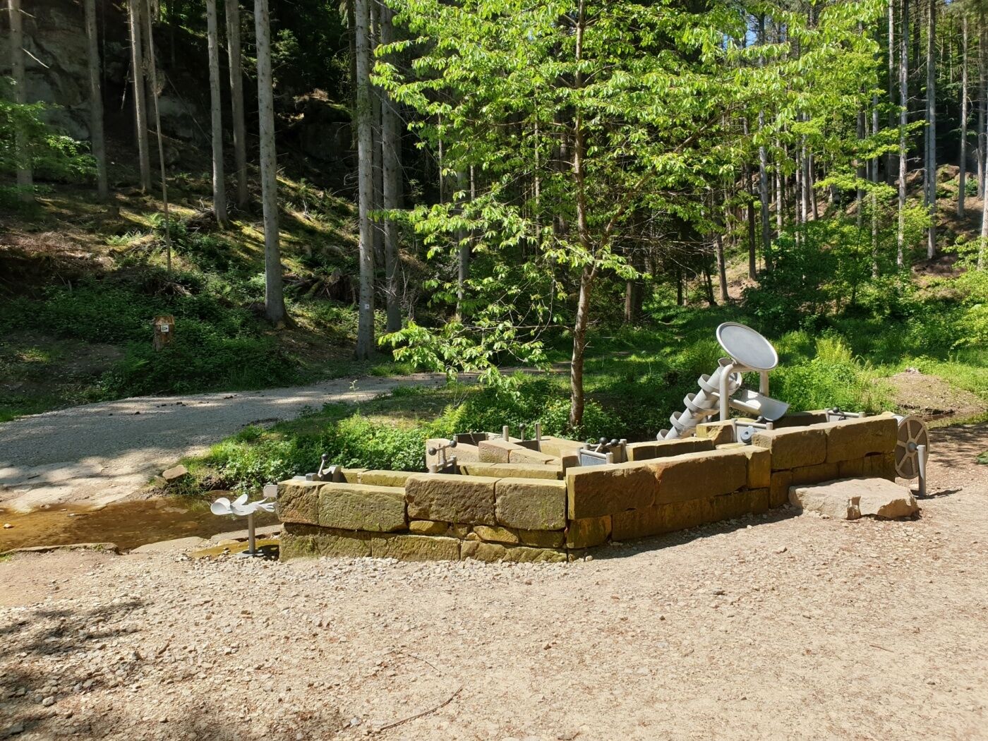
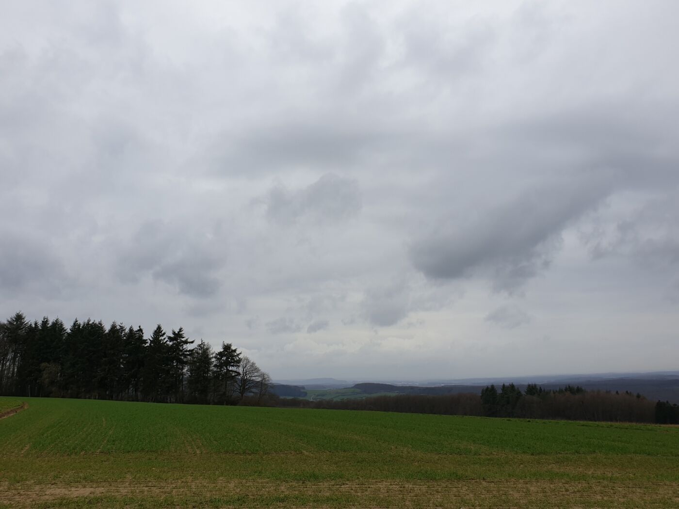
You start at Beaufort castle and pass by Klingelbur, an old washbasin. The hike also leads along the ancient refuge castle of Alebuerg and then Grevenhaff where you will enjoy a beautiful view.
You wind your way back to the starting point along spectacular rock formations like Ellerlee and Brenteschlee.
- Highest point
- 413 m
- Endpoint
-
Beaufort: castles
- Height profile
-
 © outdooractive.com
 - Equipment
-
Sturdy shoes and something to drink.
- Tips
-
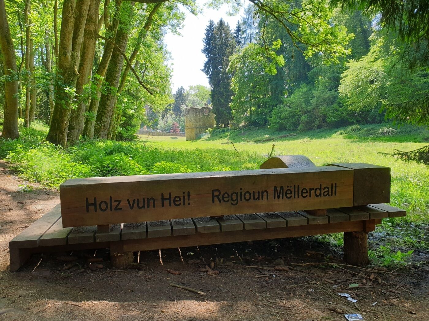
There is a possibility to rest possibility next to an ancient mill (Haller Millen).
- Additional information
- Public transportation
-
Closest bus stop: Beaufort, Op der Gare (800 m)
- Parking
-
Closest parking lot: on site
- Author
-
The tour Local hiking trail - B7 is used by outdooractive.com provided.
GPS Downloads


General info
Cultural/Historical
Other tours in the regions
-
Müllerthal
548
-
Diekirch
182