
- Brief description
-
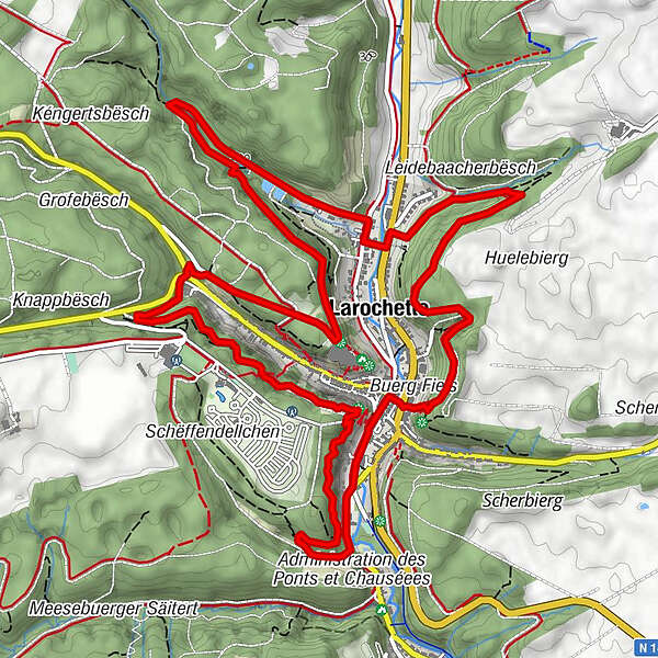
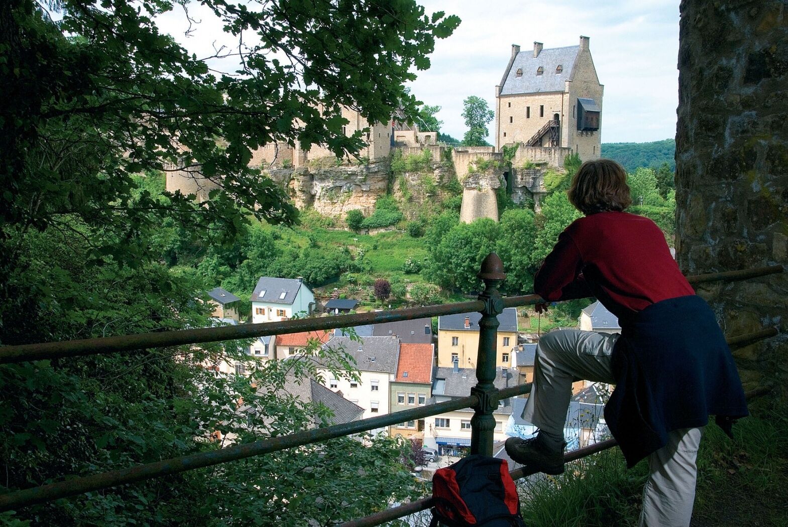
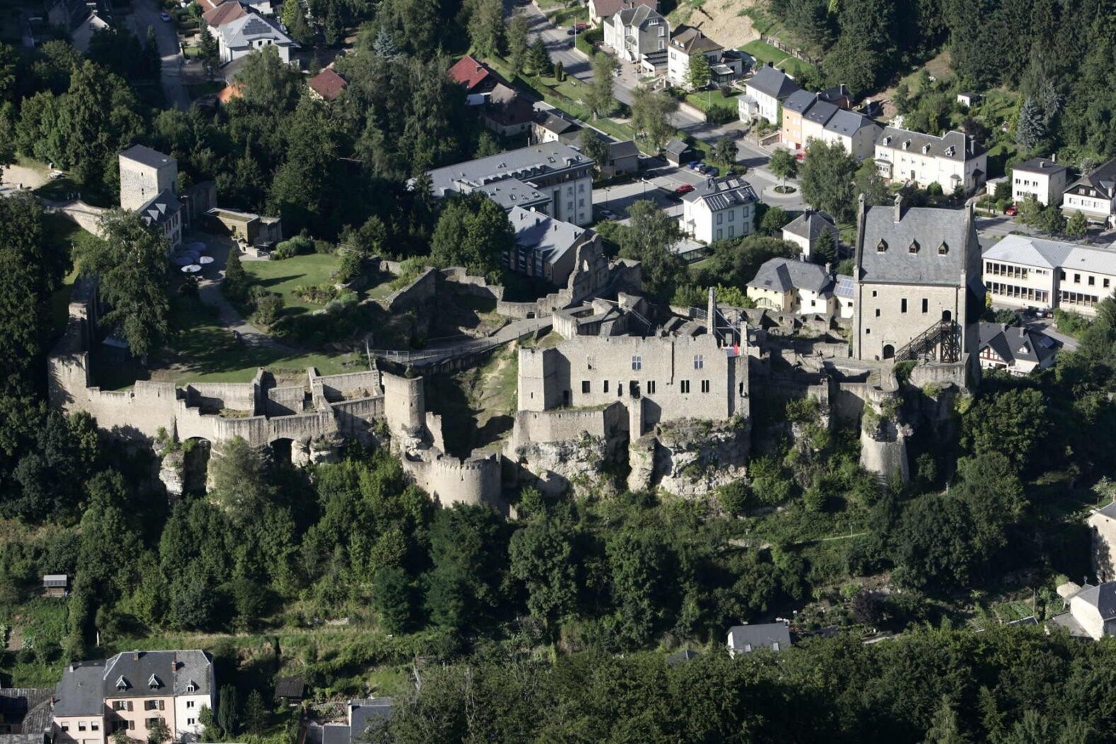
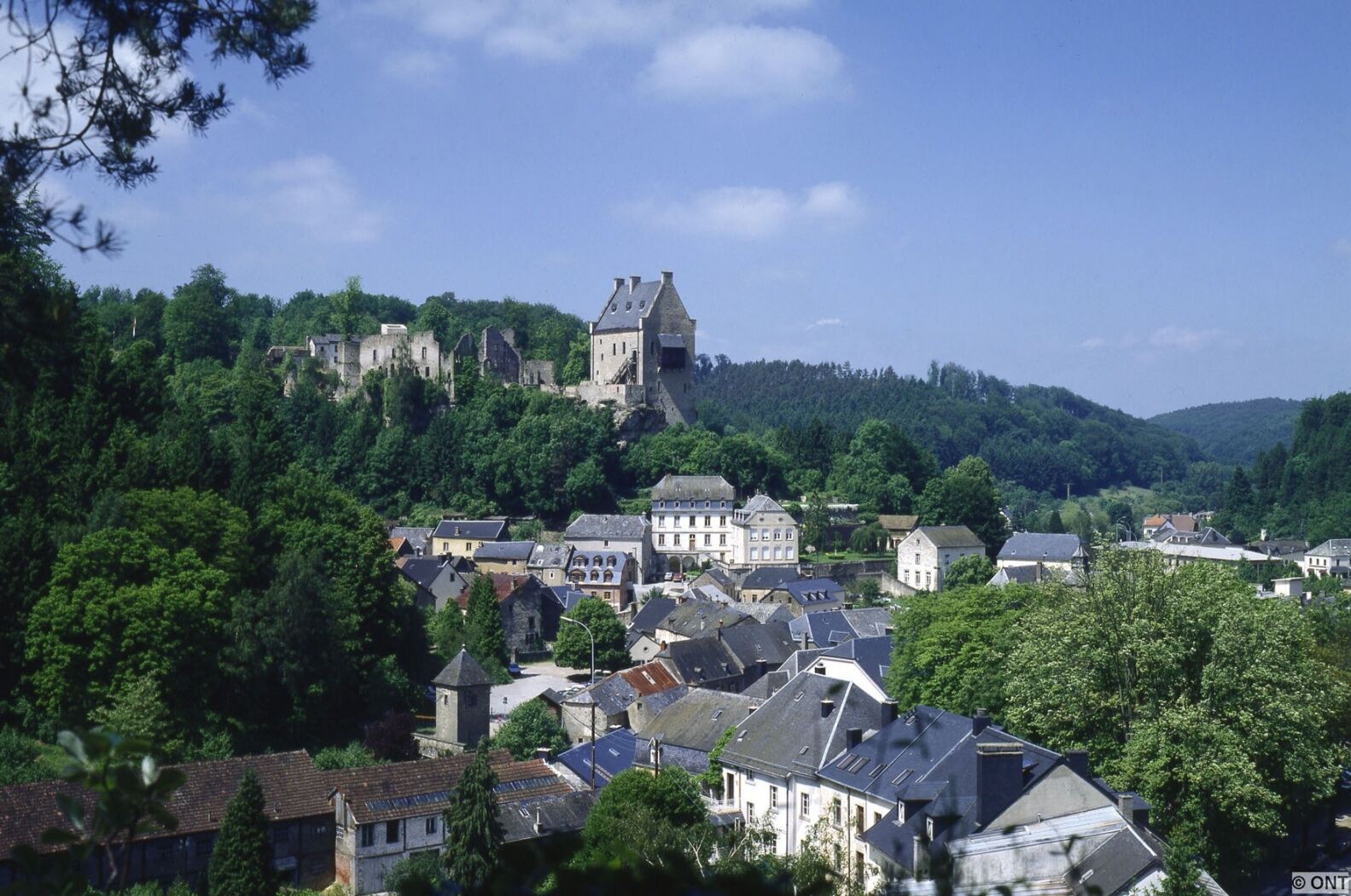
The highlights of this tour are the spectacular different views you will have at every viewpoint of Larochette castle as a reward for the sporty climbs of the tour.
- Difficulty
-
medium
- Rating
-
- Starting point
-
Larochette: Tourist Info
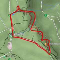
- Route
-
Verluerekascht1.6 kmHimmelsbierg7.1 kmFels7.1 kmSaint-Donat7.9 km
- Best season
-
JanFebMarAprMayJunJulAugSepOctNovDec
- Description
-
Soon after the start, you will be on your first steep ascent to "Verluerekascht", which offers the first spectacular view of Larochette castle. Inspired by the beautiful view, you continue uphill until you have left Larochette behind you. From here you go downhill again, past the source "Ousterbuer" and back to Larochette.
On the other side of the valley, you climb up again and will be rewarded by an impressive view from "Salzdeebelchen". This is a good place to take a final break before heading back down to Larochette.
On the way you should definitely not miss the detour to the "Himmelsbierg" - which, as the name suggests, offers another heavenly view.
- Highest point
- 348 m
- Endpoint
-
Larochette: Tourist Info
- Height profile
-
 © outdooractive.com
 - Equipment
-
Sturdy shoes and something to drink.
- Additional information
- Public transportation
-
Closest bus stop: Larochette, Spuerkeess/Gare routière (on site)
- Parking
-
Closest parking lot: Schongfabrik (50 m)

- Author
-
The tour Auto-pédestre trail Larochette is used by outdooractive.com provided.
GPS Downloads


General info
Cultural/Historical
A lot of view
Other tours in the regions
-
Müllerthal
549
-
Diekirch
183