


- Brief description
-
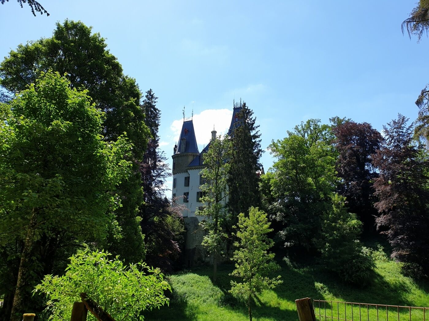
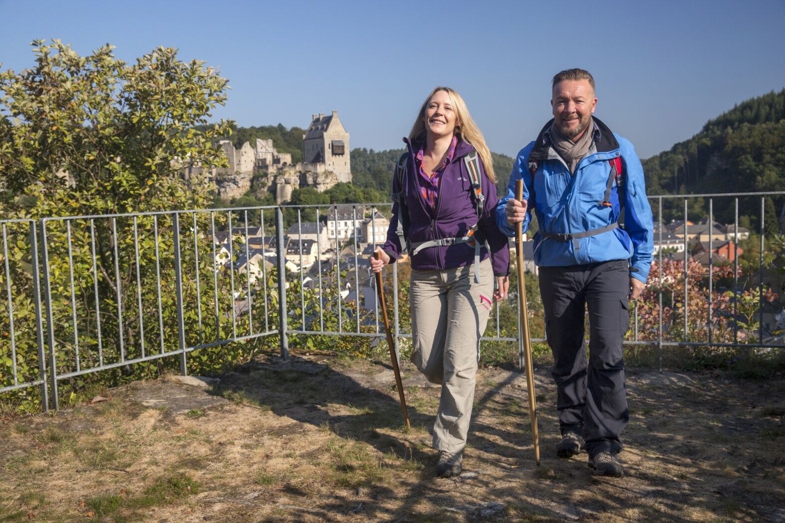
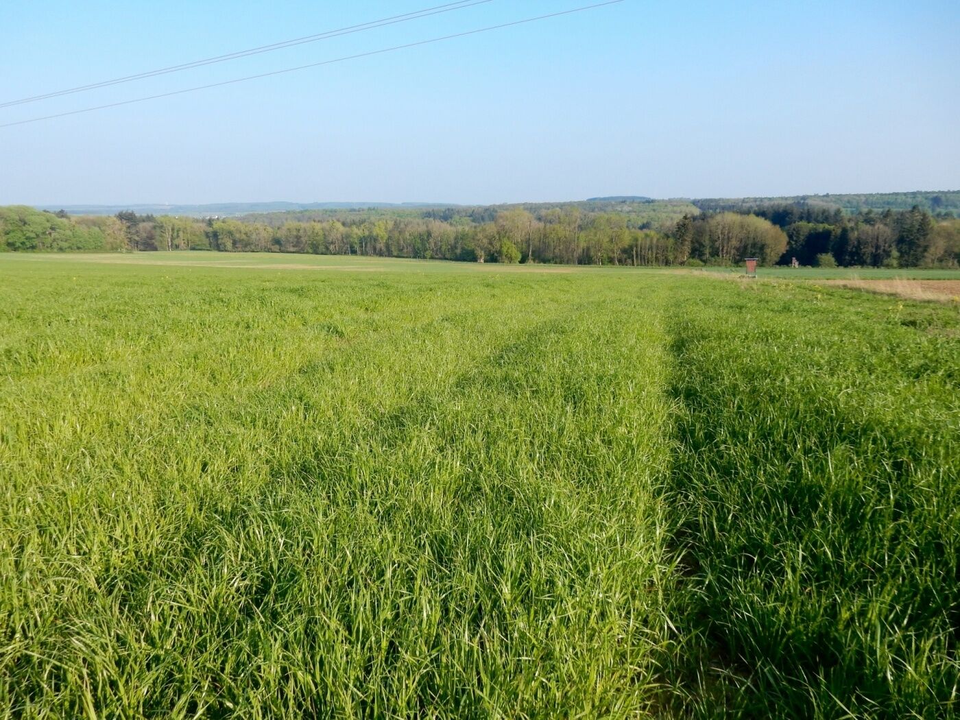
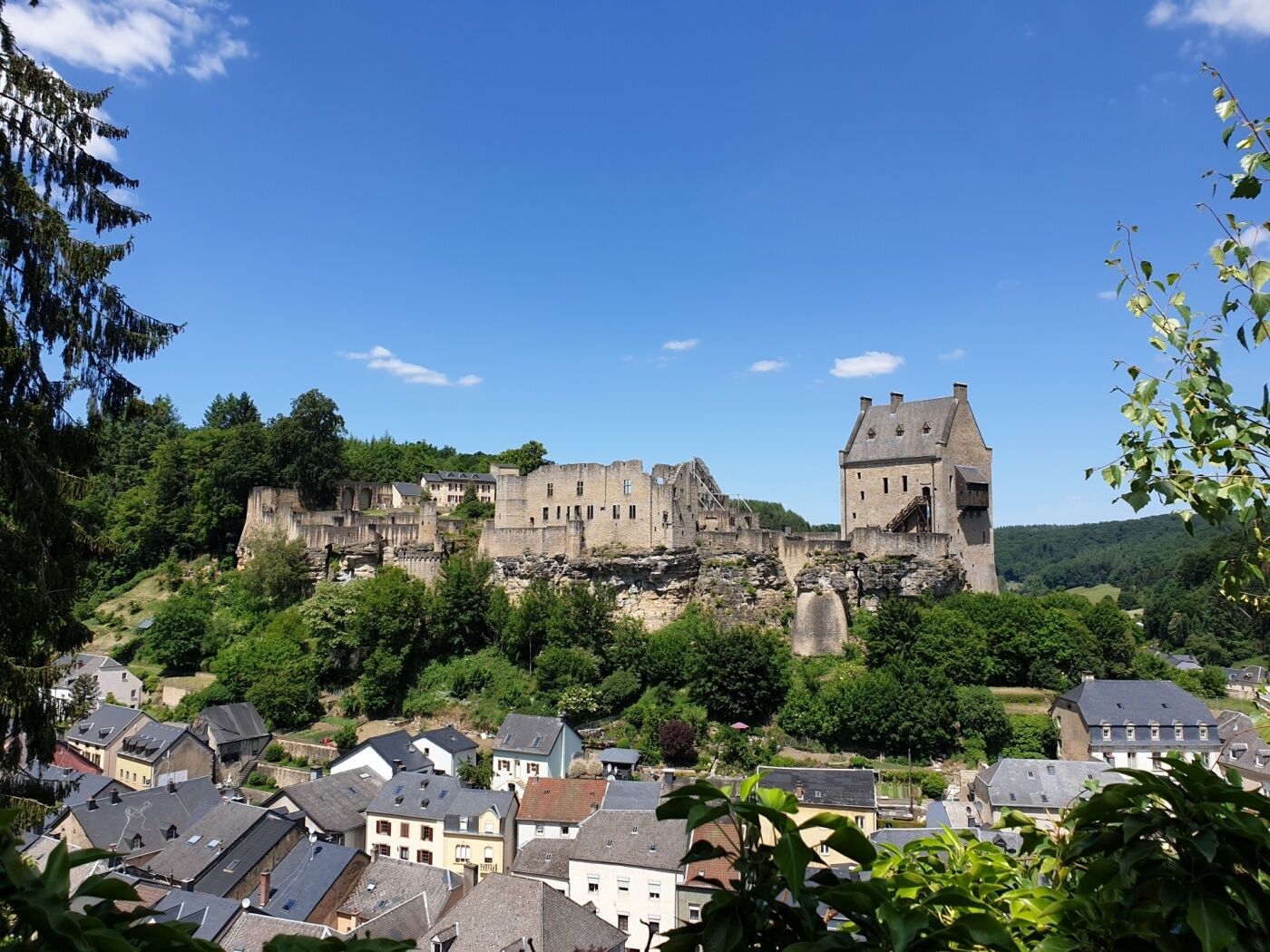
This varied hiking trail offers nice view points, fresh air and takes you past Meesebuerg Castle.
- Difficulty
-
medium
- Rating
-
- Starting point
-
Larochette: Tourist Info
- Route
-
FelsSaint-Donat0.1 kmErnzen2.1 kmSoup2.9 kmMeysembourg7.2 kmVerluerekascht11.3 kmFels11.6 km
- Best season
-
JanFebMarAprMayJunJulAugSepOctNovDec
- Description
-
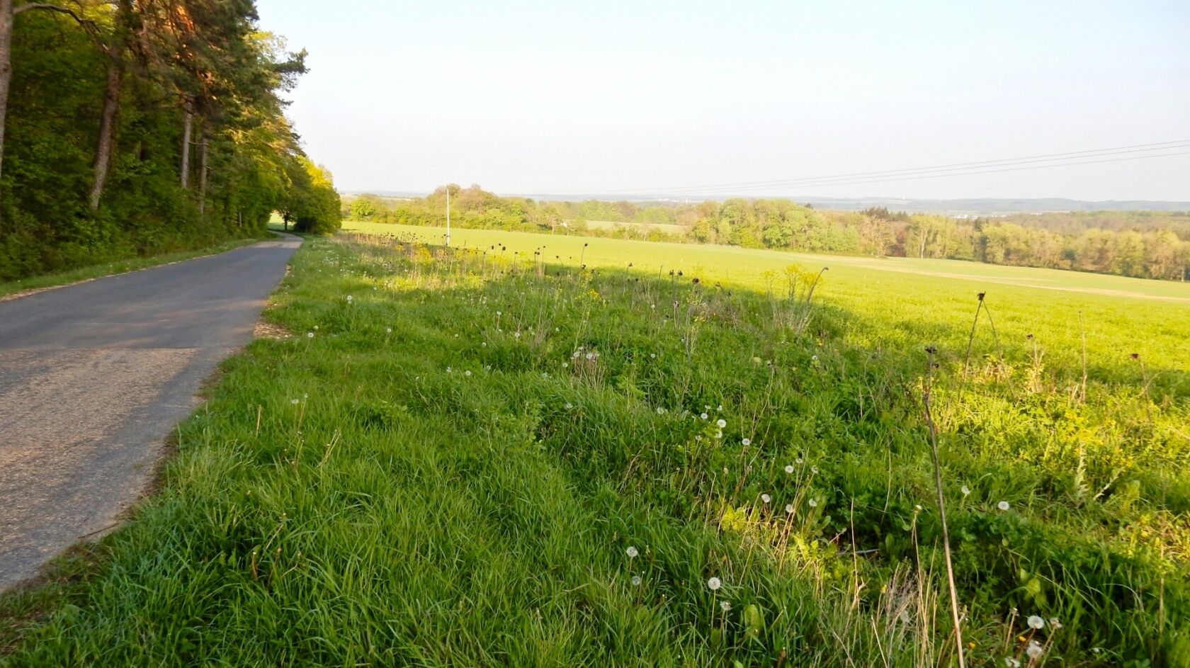
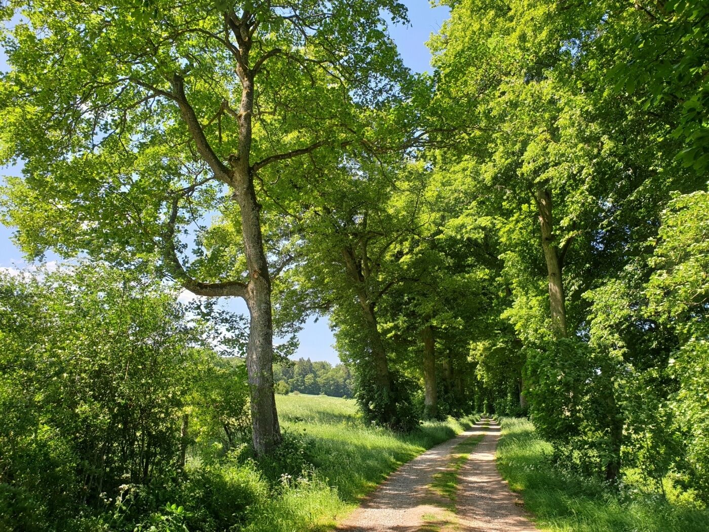
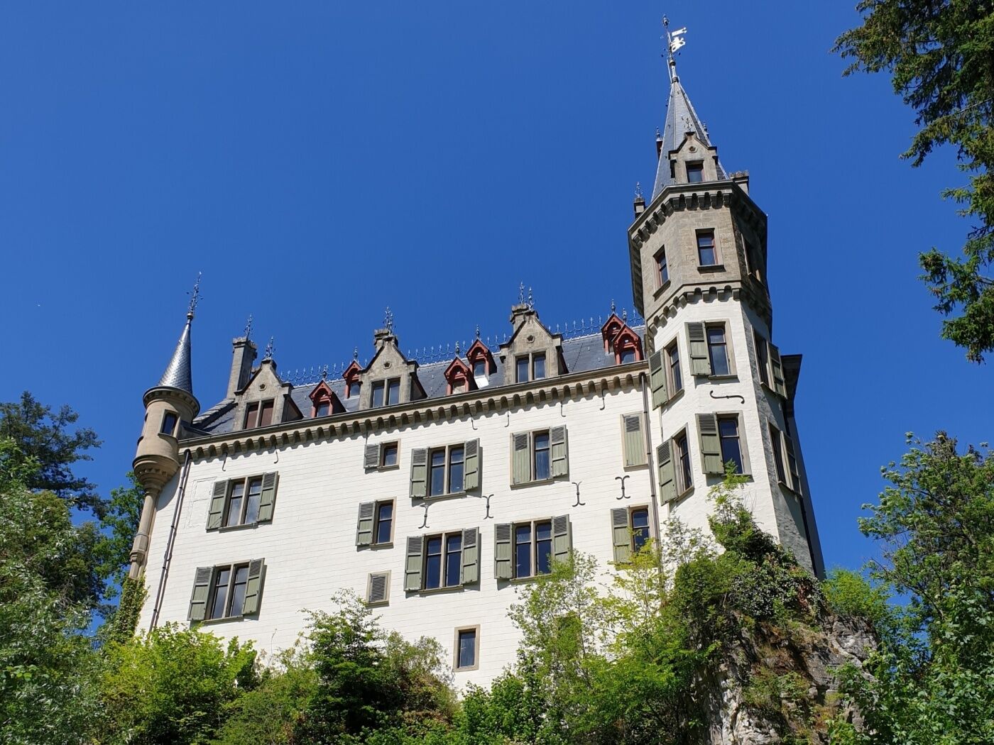
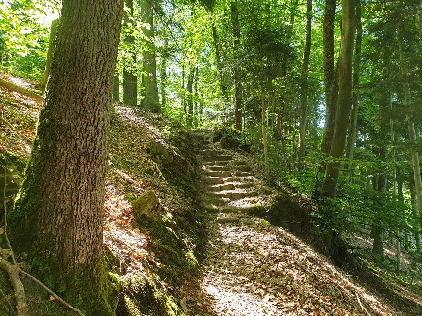
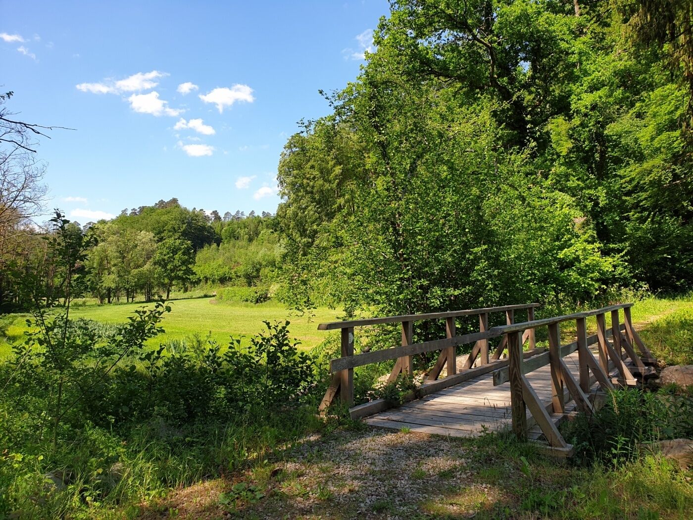
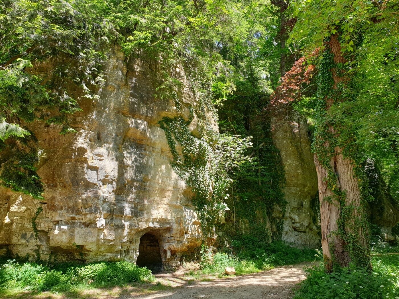
From the initial point at the town hall, the path goes through the forest to Himmelsbierg, where it offers a beautiful view on Larochette and the castle ruin, and Teiperlee in direction of the Soup in Heffingen. A seigneurial mill was located here and the buildings, in a good condition, still remain nowadays. The path is partly located above the old railway line Jhangeli. It continues towards Ernzen and, by an elevation, to Castle Meesebuerg offering a place to rest and to admire. The path then follows a slight ascent to the Gudelterhaff and leads along the Weyderterhaff and the Camping Birkelt, offering a rest possibility, back to the initial point.
- Directions
-
The start is at the tourist info and leads through the forest over the Himmelsbierg, with a beautiful view of Larochette and the castle ruins, as well as the Teiperlee in the direction of Soup in Heffingen. There was a mill here, the buildings of which have been well preserved to this day. The trail is partly located on the ancient railway line of the Jhangeli.
It takes you in the direction of Ernzen and over the hill to Meesebuerg Castle with a nice place to rest. The path then follows a slight incline to the Gudelterhaff and leads along the Weyderterhaff and a campsite, with a place for a stop, down to the starting point.
- Highest point
- 415 m
- Endpoint
-
Larochette: Tourist Info
- Height profile
-
 © outdooractive.com
 - Equipment
-
Sturdy shoes and something to drink.
- Tips
-
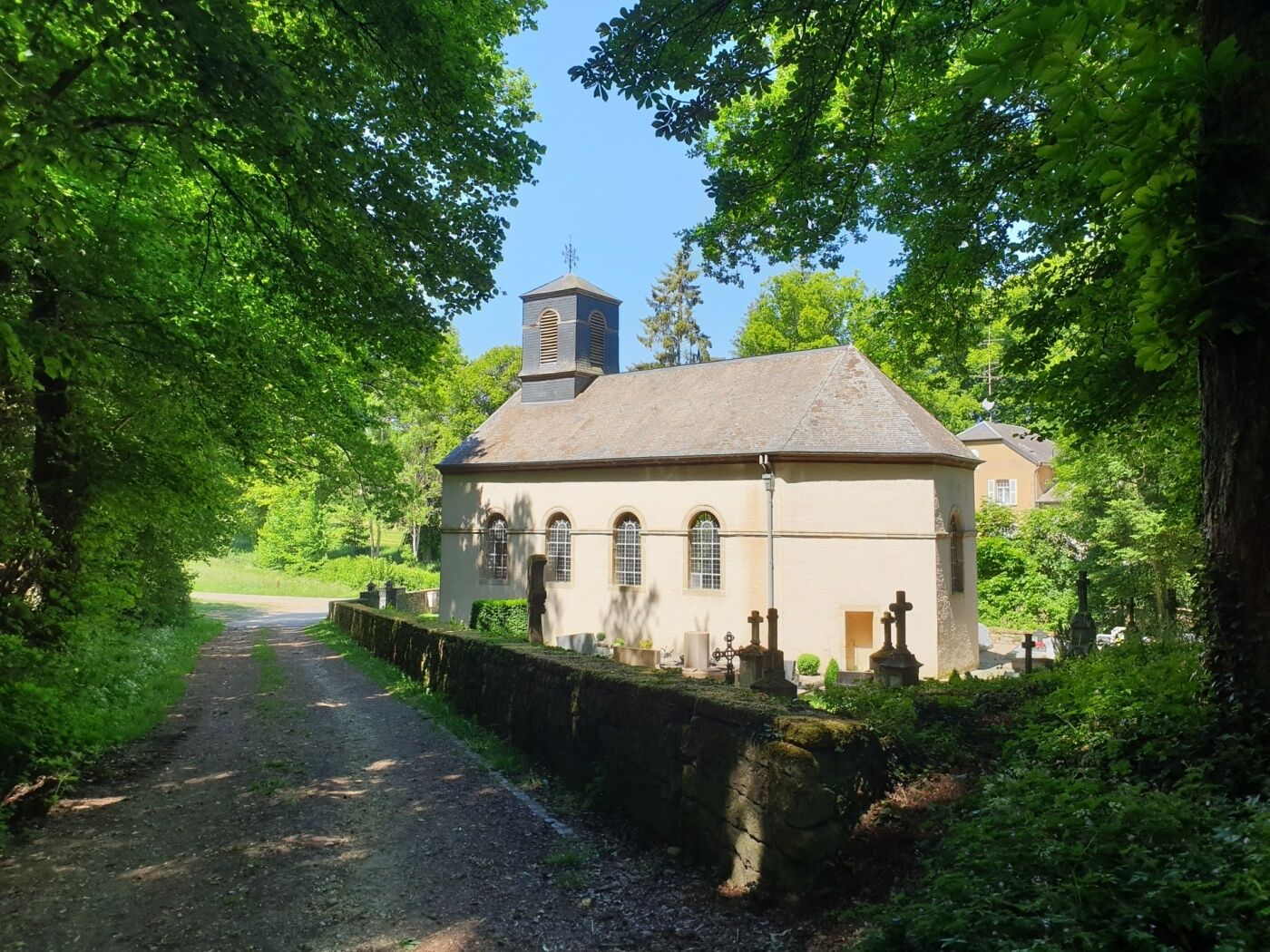
Visit the Saint-Donatus church in the village center in Larochette and be enchanted by the frescoes.
- Additional information
- Public transportation
-
Closest bus stop: Larochette, Spuerkeess/Gare routière (on site)
- Parking
-
Closest parking lot: Schongfabrik (50 m)


- Author
-
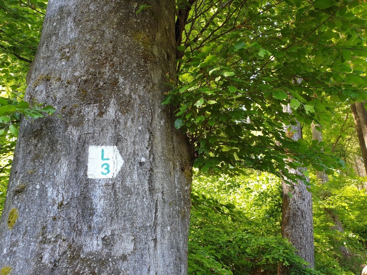
The tour Local hiking trail - L3 is used by outdooractive.com provided.
GPS Downloads


General info
Refreshment stop
Cultural/Historical
A lot of view
Other tours in the regions
-
Müllerthal
549
-
Lorentzweiler
103


