
- Brief description
-
Easy local hiking trail through the rocky landscape of Berdorf. Perfect for families but not suitable for prams.
- Difficulty
-
easy
- Rating
-
- Starting point
-
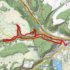
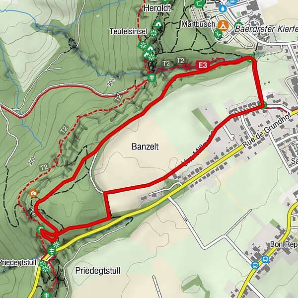
Berdorf: Um Millewee
- Route
-
Berdorf2.8 km
- Best season
-
JanFebMarAprMayJunJulAugSepOctNovDec
- Description
-
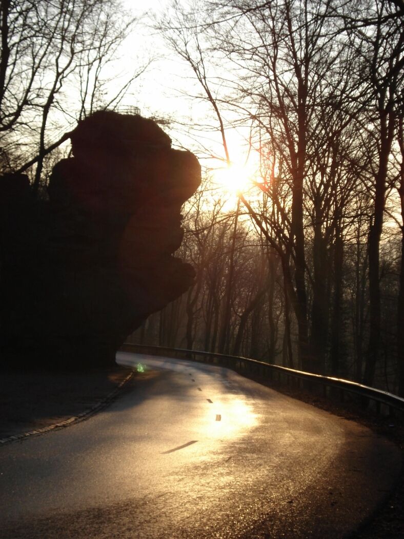
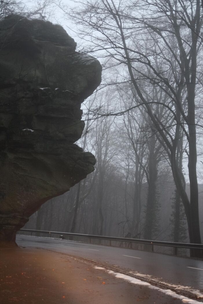
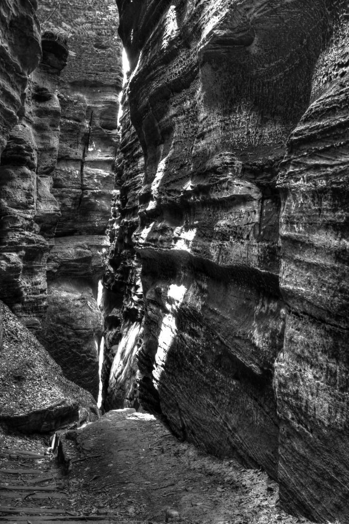
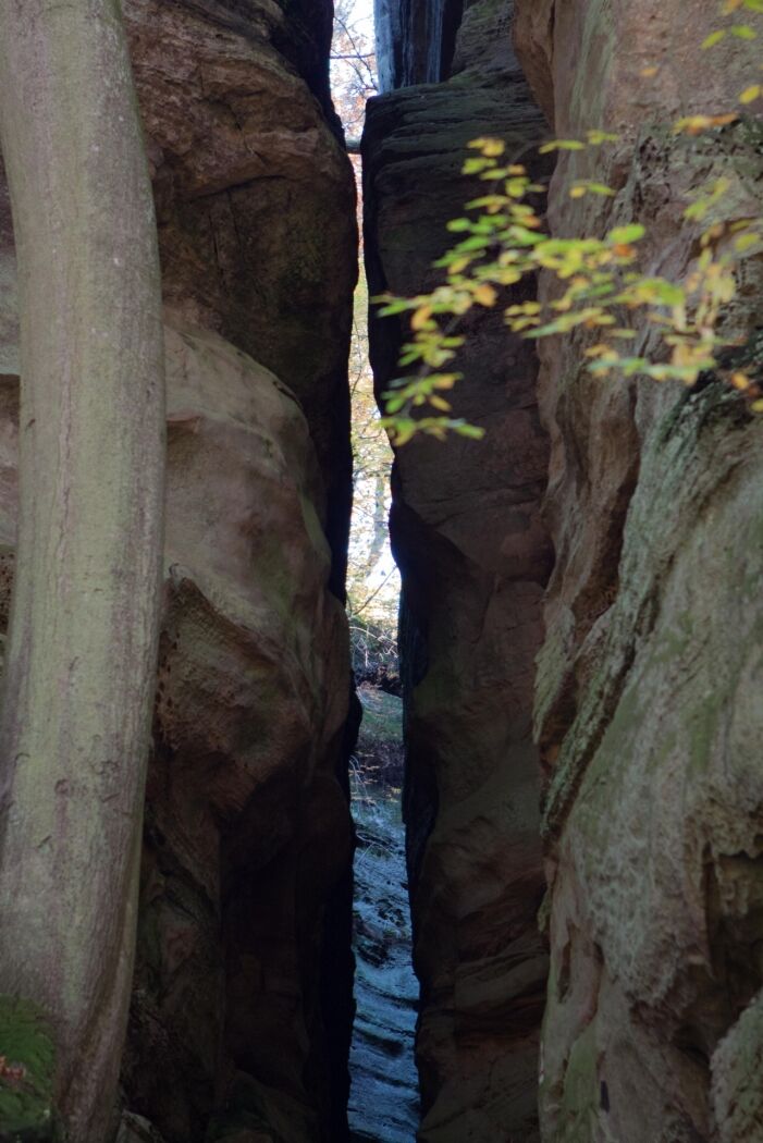
The hiking trail B13 starts on the road "Um Millewee" and leads into the forest up to the rock formations of Binzeltschlëff. From there you have a beautiful view on the rock giant Priedegtstull. The path then runs back over the plateau to the starting point.
- Highest point
- 369 m
- Endpoint
-
Berdorf: Um Millewee
- Height profile
-
 © outdooractive.com
 - Equipment
-
Sturdy shoes
- Tips
-
After more or less 1,2 km, make a small detour on the Mullerthal Trail towards the impressive Priedegtstull.
- Additional information
- Public transportation
-
Nearest bus station is: Berduerf, Duerfplaz (500 m)
- Parking
-
Parking Am Duerf or Centre Culturel (400 m)
- Author
-
The tour Local hiking trail - B13 is used by outdooractive.com provided.
GPS Downloads


Other tours in the regions
-
Müllerthal
548