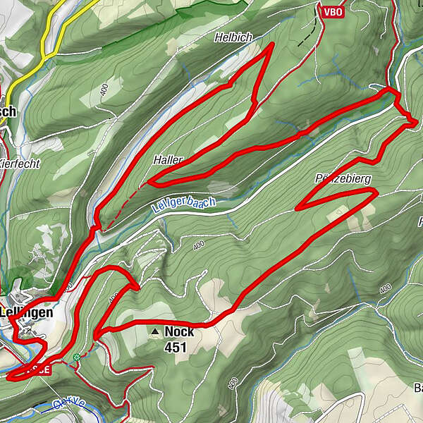

- Brief description
-
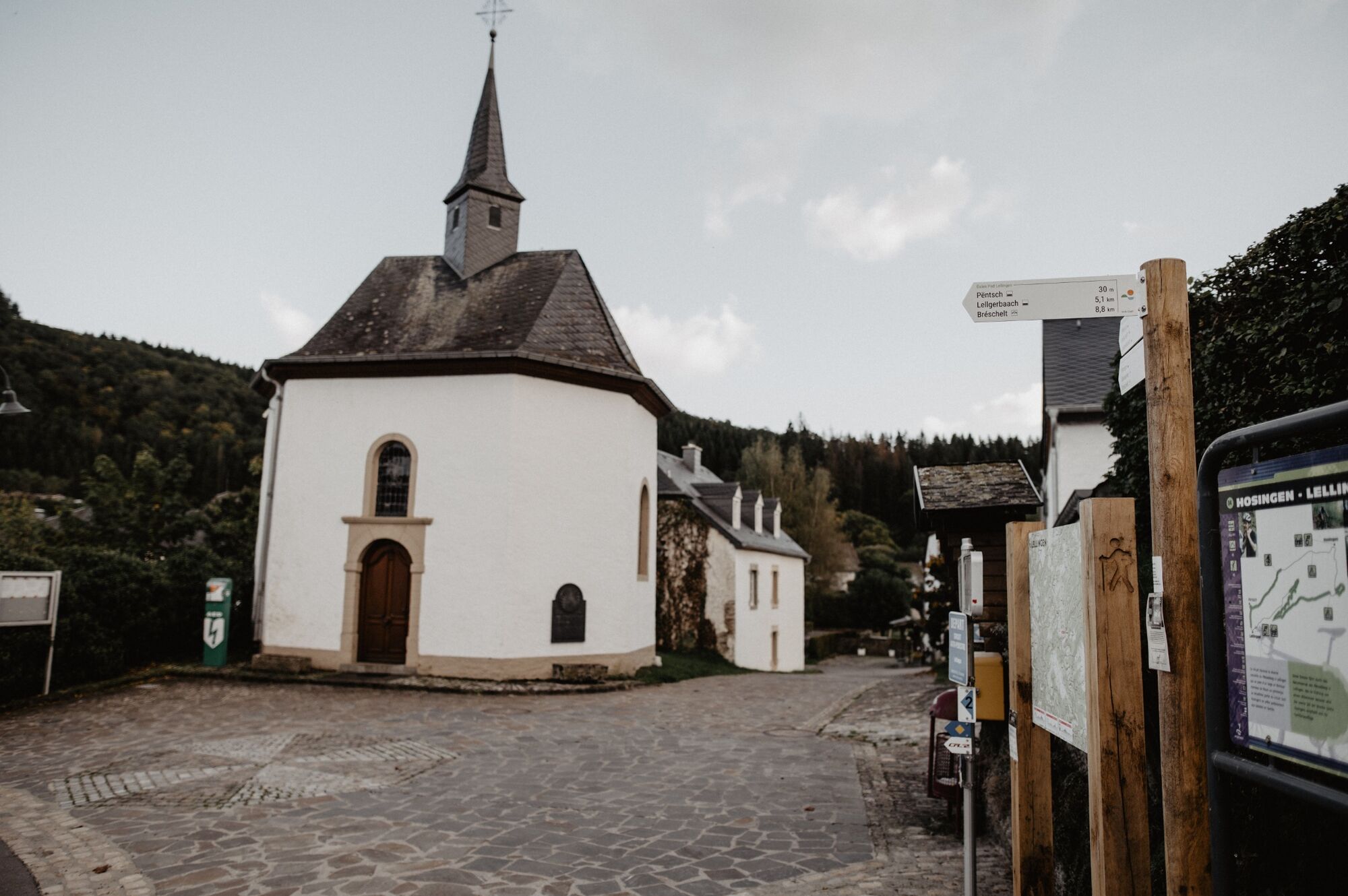
Passing the picturesque village
- Difficulty
-
medium
- Rating
-
- Starting point
-
Chapel, Bei Hencksebreck, Lellingen
- Route
-
Chapelle Saint-Pierre0.0 kmLellingen0.1 kmNock (451 m)8.4 kmVue Kiischpelt8.9 kmLellingen11.1 kmChapelle Saint-Pierre11.1 km
- Best season
-
JanFebMarAprMayJunJulAugSepOctNovDec
- Description
-
This trail starts with a little journey back in time. Lellingen is one of the best-preserved traditional villages in the region. The starting point of the tour at the Saint Pierre chapel is therefore already one of the highlights. Another highlight for flower lovers: a whole host of daffodils accompanies you partly in spring.
- Directions
-
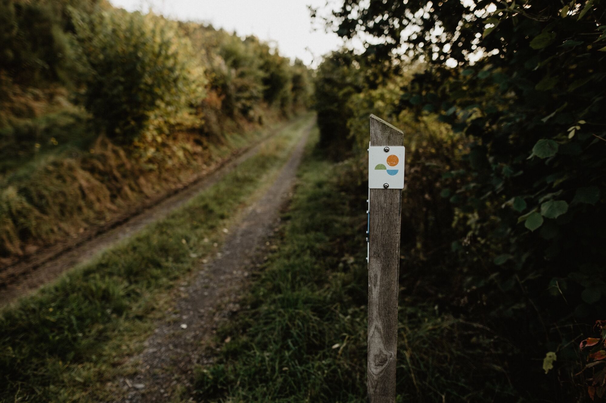
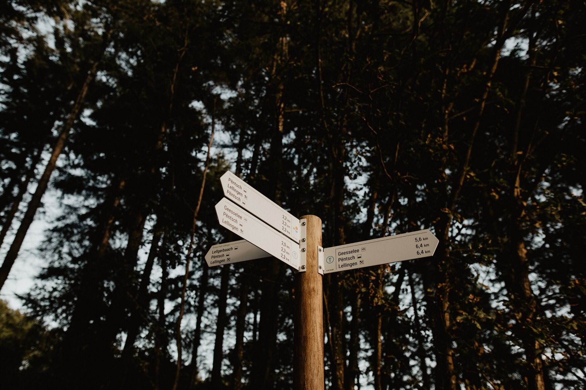
The hiking trail is marked in both walking directions. Please follow the Éislek waymarks.
- Highest point
- 495 m
- Endpoint
-
Chapel, Bei Hencksebreck, Lellingen
- Height profile
-
 © outdooractive.com
 - Equipment
-
Sturdy shoes and something to drink.
- Safety instructions
-
Weather conditions such as wetness, ice and wind can make a tour difficult. The information given refers to optimal conditions.
- Tips
-
Highlights: Lellingen, Daffodil blossom in spring, View Bréschelt
- Additional information
- Public transportation

- Author
-
The tour Éislek Pad Lellingen is used by outdooractive.com provided.
Was 13 km ipv 11 km...Heel mooi maar eerder een moeilijke wandeing ipv gemiddelde. Was bij regenbaar dus goeie Wandelschoenen zijn een noodzaak!