
- Brief description
-
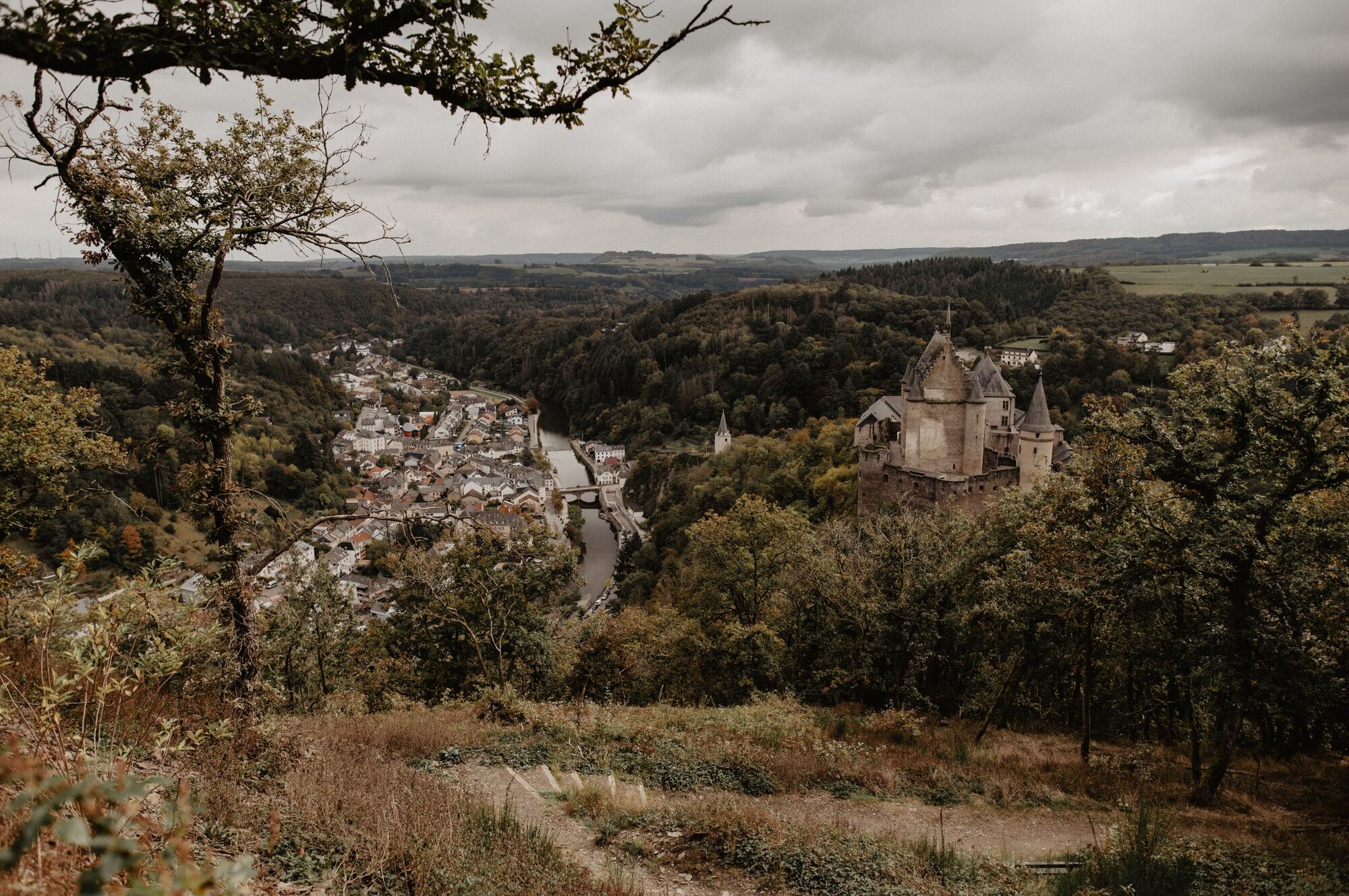
Over castle and valley
- Difficulty
-
medium
- Rating
-
- Starting point
-
Car park at the end of the village towards Bivels, Rue du Vieux Marché, Vianden
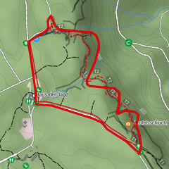
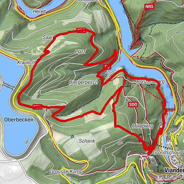
- Route
-
Vianden0.4 kmPoint de Vue Victor Hugo5.1 kmSankt Rochus8.9 km
- Best season
-
JanFebMarAprMayJunJulAugSepOctNovDec
- Description
-
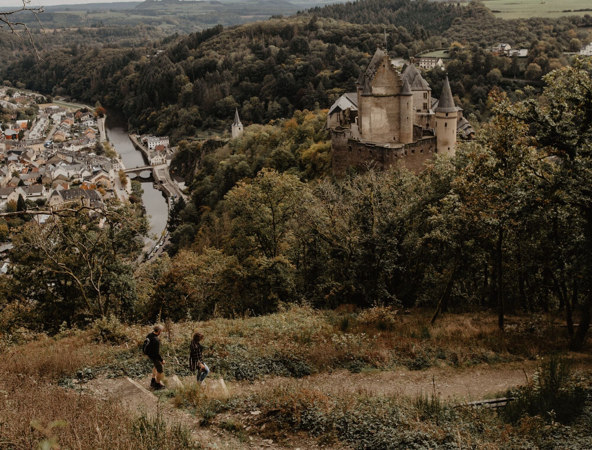
On the ascent and descent of this tour you can let your eyes and thoughts wander over the beautiful landscape. Sometimes the Our Valley is at your feet, then you discover Falkenstein Castle in the distance, and on the descent Vianden presents itself to you with its castle and river from its finest side. There is even the option of taking the chairlift down to the valley.
- Directions
-
The hiking trail is marked in both walking directions. Please follow the Éislek waymarks.
- Highest point
- 481 m
- Endpoint
-
Car park at the end of the village towards Bivels, Rue du Vieux Marché, Vianden
- Height profile
-
 © outdooractive.com
 - Equipment
-
Sturdy shoes and something to drink.
- Safety instructions
-
Weather conditions such as wetness, ice and wind can make a tour difficult. The information given refers to optimal conditions.
- Tips
-
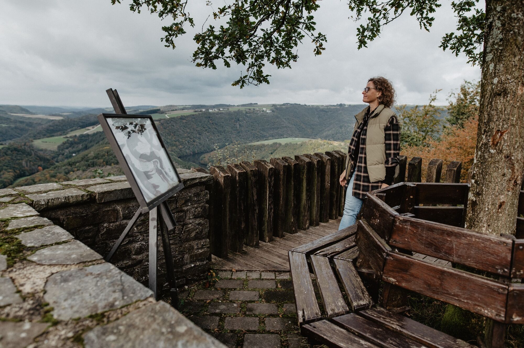
View Victor Hugo & Pavillon Schënnbierg, Vianden Castle
- Additional information
- Public transportation
- Parking
-
A parking place is located directly at the starting point.
- Author
-
The tour Éislek Pad Vianden is used by outdooractive.com provided.


General info
-
Eifel/ Rheinland-Pfalz
1057
-
Müllerthal
549
-
Vianden
159