© Visit Luxembourg - Guy Krier


- Brief description
-
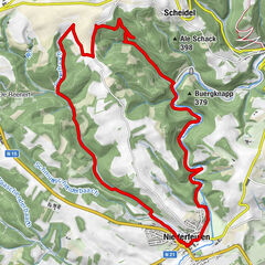
Circular walk Beckerich
- Difficulty
-
medium
- Rating
-
- Starting point
-
church in Beckerich (N24)
- Route
-
Beckerich0.2 kmHeischel6.3 kmHovelingen7.4 kmHüttingen9.3 kmChapelle Saint-Sigismond9.3 kmAn der Millen10.3 kmBeckerich11.4 km
- Best season
-
JanFebMarAprMayJunJulAugSepOctNovDec
- Description
-
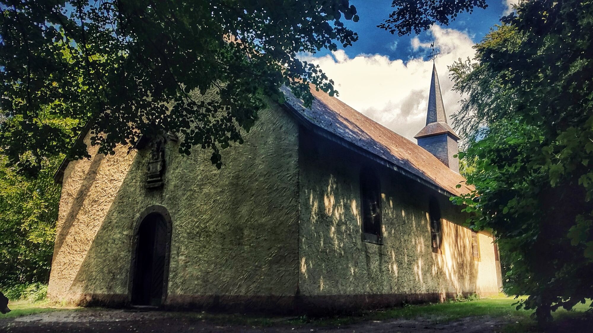
Old "Stations of the Cross" lead to the chapel on the Kuelebierg. We take a path leading to the Belgian border, and go downhilll through the forest to Hovelange. We follow a cycle path and go across meadows and through fields to Huttange where we continue towards the starting point.
- Highest point
- 405 m
- Endpoint
-
Eglise Beckerich (N24)
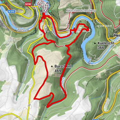
- Height profile
-
 © outdooractive.com
 - Equipment
-
Sturdy shoes and some water.
- Additional information
- Public transportation
-
Nearest bus station is: Beckerich, Kiircheplaz
- Parking
-
A parking place is located directly at the starting point.
- Author
-
The tour Auto-pédestre trail Beckerich is used by outdooractive.com provided.
GPS Downloads


General info
Refreshment stop