
- Brief description
-
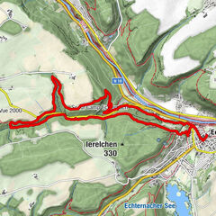
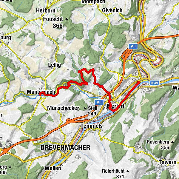
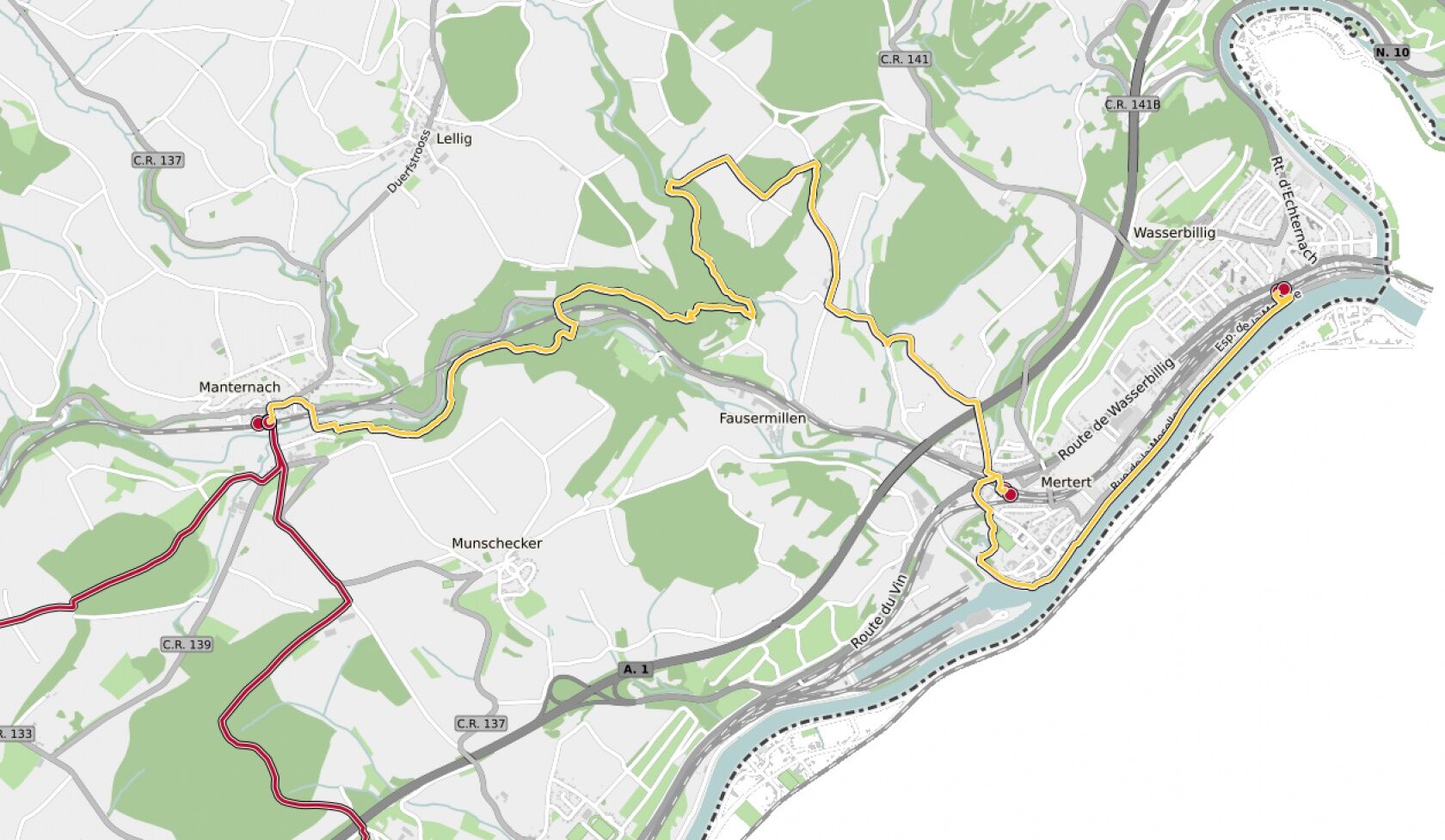
43 Station to station Manternach - Mertert - Wasserbillig
- Difficulty
-
medium
- Rating
-
- Starting point
-
Train station Manternach
- Route
-
Belleville0.0 kmManternach0.1 kmManternacherfëls2.8 kmMertert9.2 kmOberbillig11.0 kmWasserbillig11.0 kmWasserbillig11.2 km
- Best season
-
JanFebMarAprMayJunJulAugSepOctNovDec
- Description
-
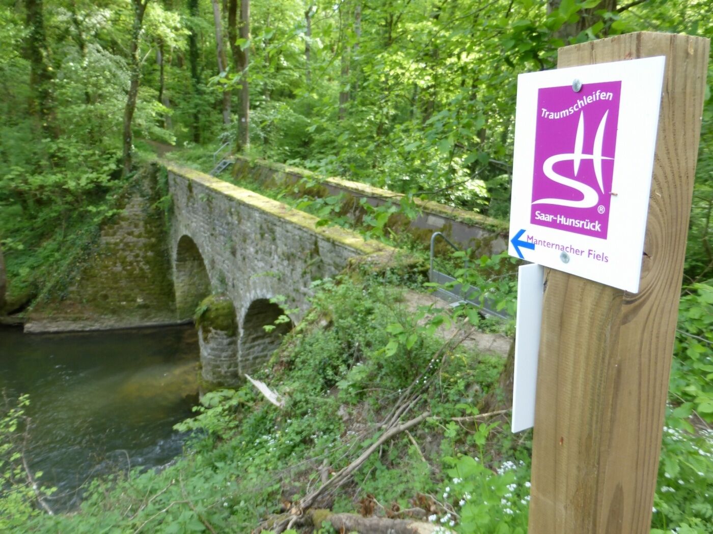
We leave the village eastwards and go towards the Syre. We follow the national footpath "Sentier de la Moselle" (sign: yellow rectangle) along the river and climb up the wooded slope shortly before Fielsmillen. We go through the Schlammbaach valley, over the Foolgruet and the motorway and arrive in Mertert. We cross the rail tracks, wander through the park and along the Syre as far as the Moselle bank. We follow the waterside promenade and go underneath an underpass in order to arrive at the station.
- Directions
-
The hiking trail is marked in both walking directions. Please follow the white-red waymarks.
- Highest point
- 281 m
- Endpoint
-
Train station Manternach
- Height profile
-
 © outdooractive.com
 - Additional information
-
Mail: quality@visitmoselle.lu
Tel: +352 26 74 78 74
www.visitmoselle.lu
- Public transportation
-
Use the free public transport and travel climate-friendly by bus and train. The start and end points of all CFL trails are accessible by train.
- Parking
-
Parking train station Manternach
- Author
-
The tour 43 Station to station Manternach - Mertert - Wasserbillig is used by outdooractive.com provided.
GPS Downloads


General info
Flora
Fauna
Other tours in the regions
-
Saar-Obermosel
504
-
Mertert / Wasserbillig
164