


- Brief description
-
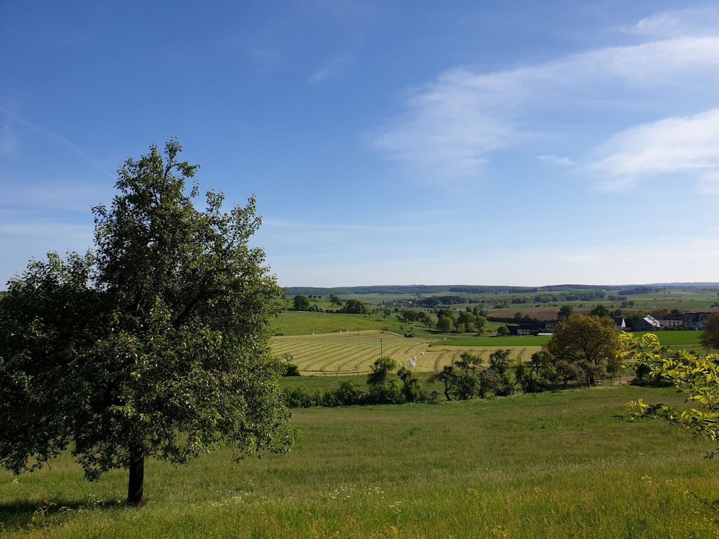
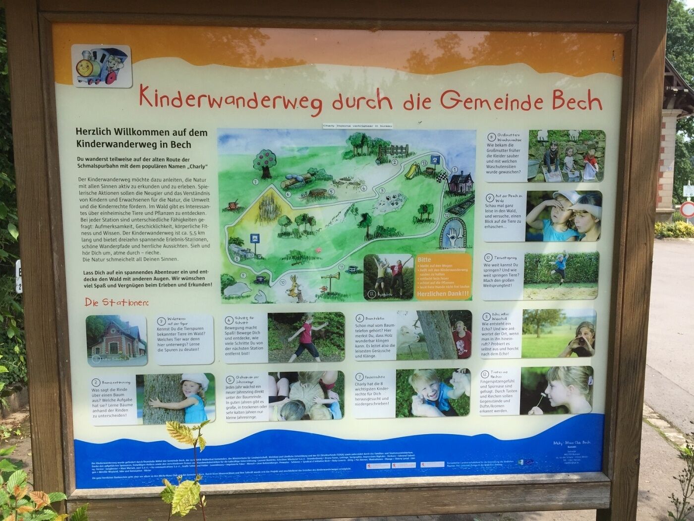
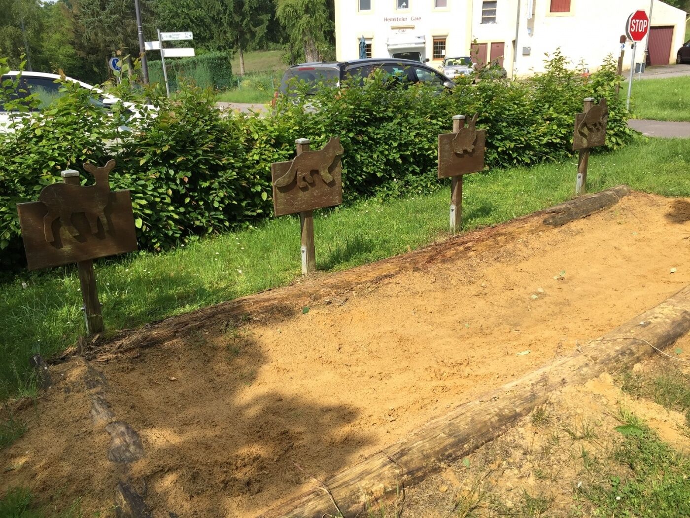
On this hike, you will walk in the footsteps of Charly, the ancient train running between Echternach and Luxembourg. During this 5.5 km hike, you will play and discover things.
- Difficulty
-
easy
- Rating
-
- Starting point
-
Becher Gare
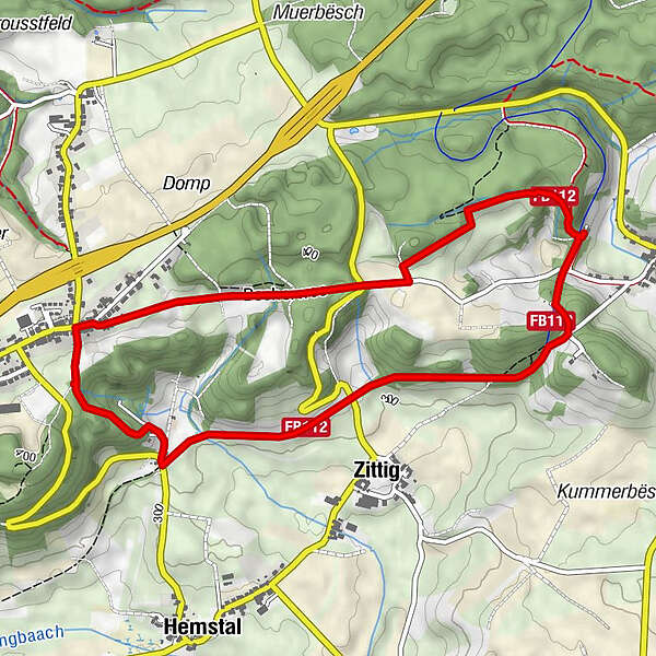
- Route
-
Becher GareAltrier2.0 kmZittig3.7 kmBecher Gare5.1 km
- Best season
-
JanFebMarAprMayJunJulAugSepOctNovDec
- Description
-
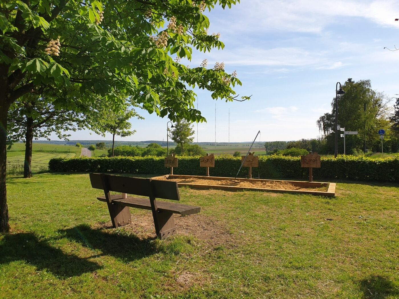
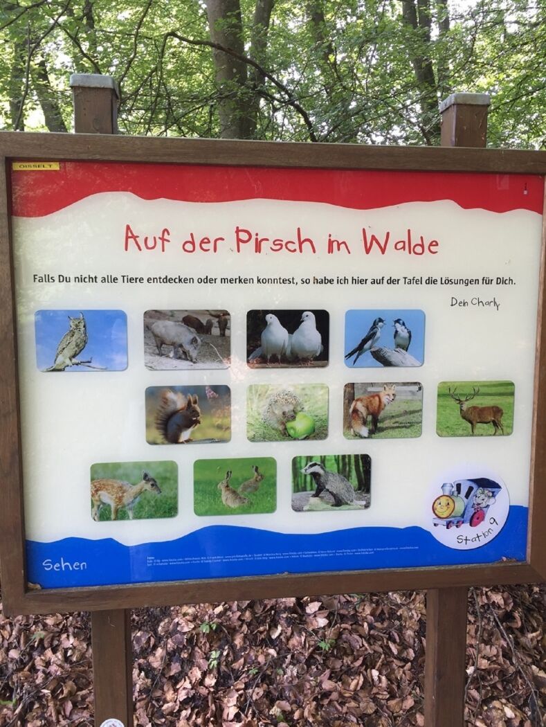
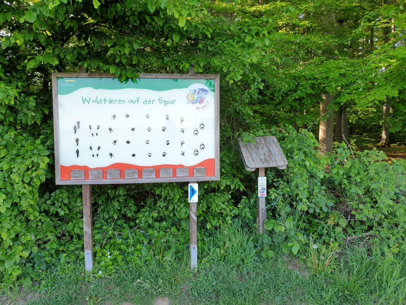
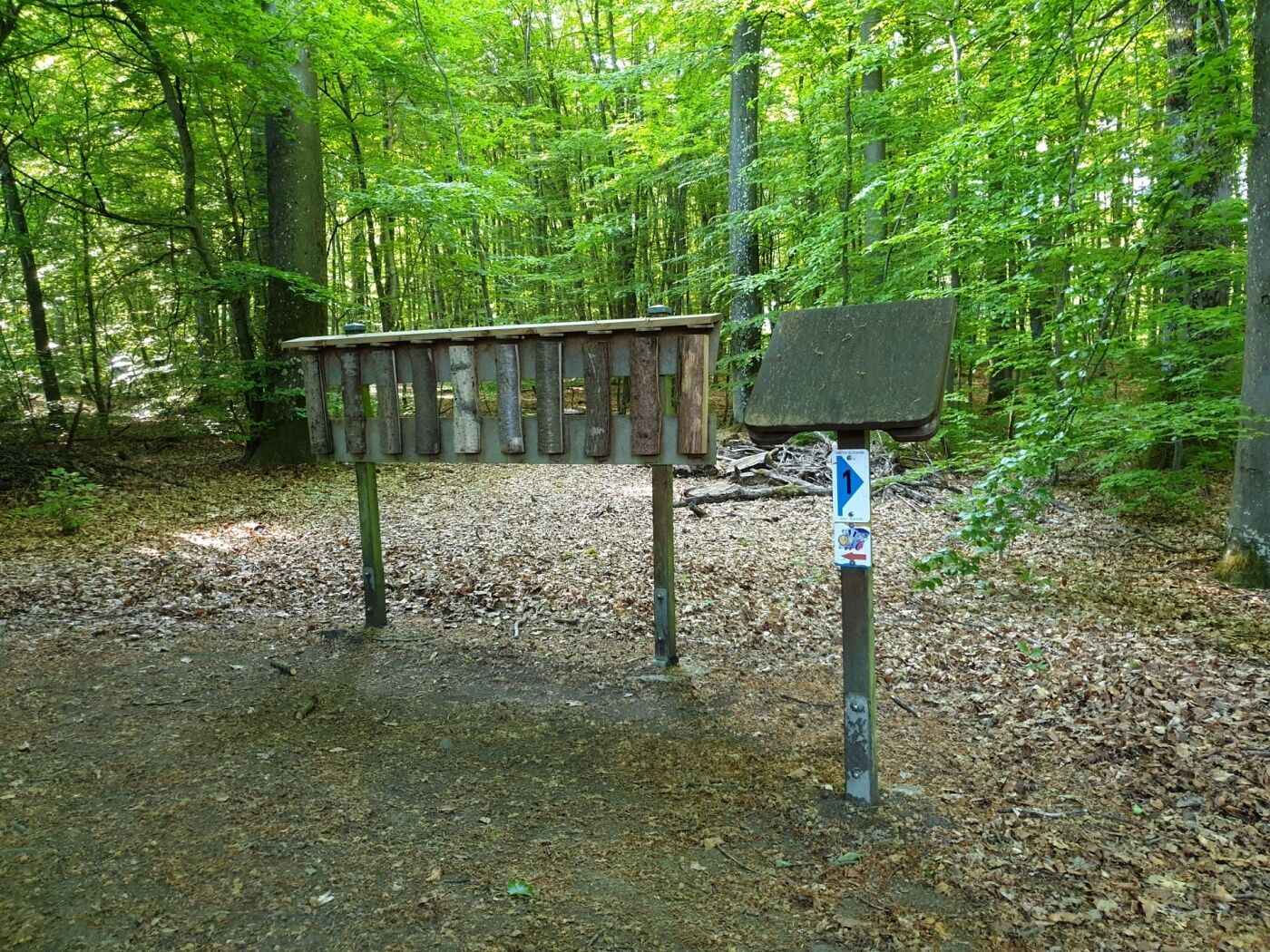
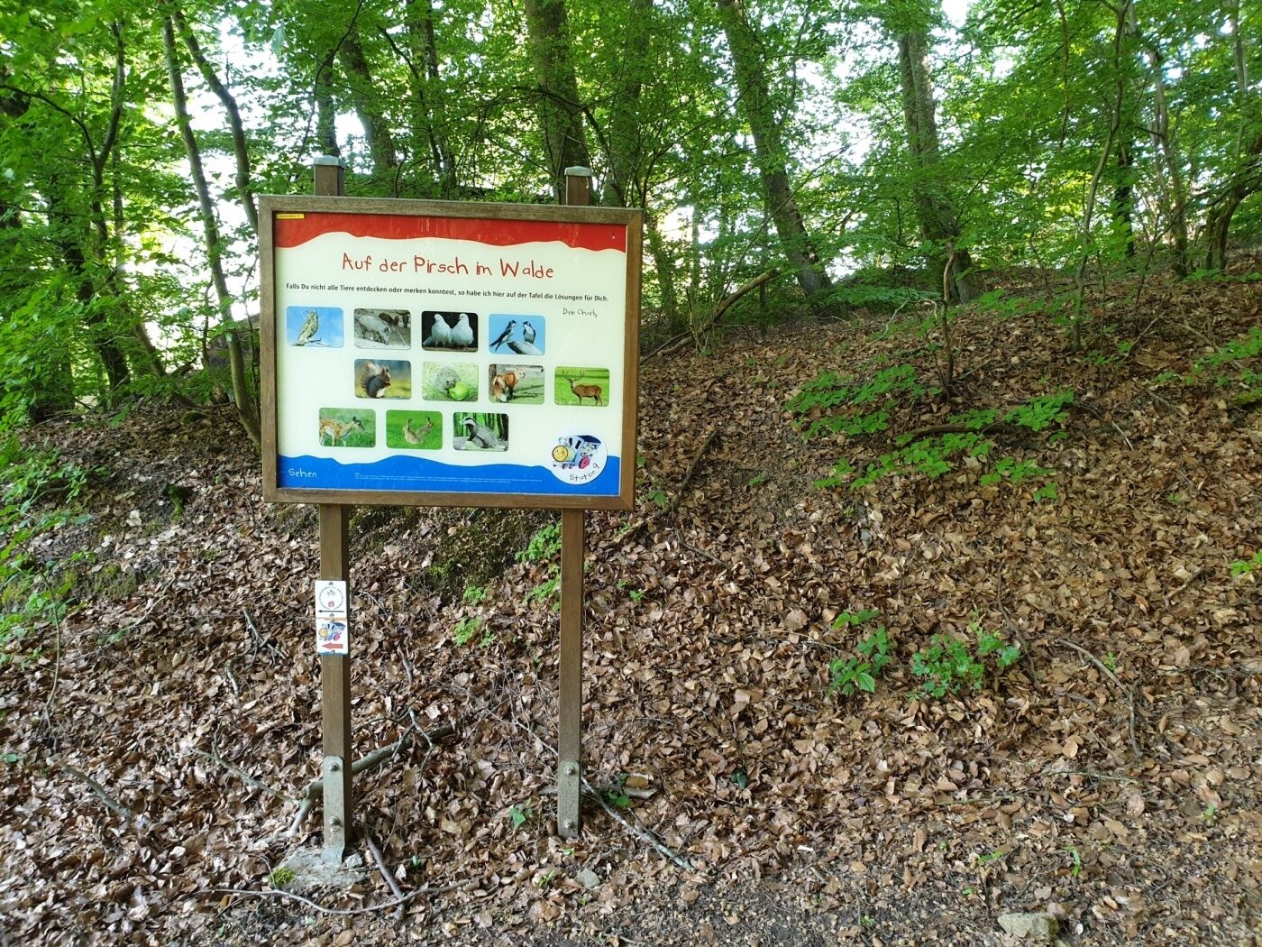
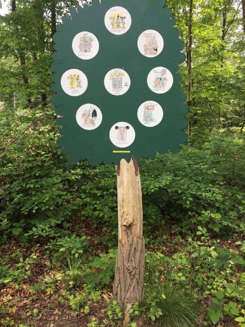
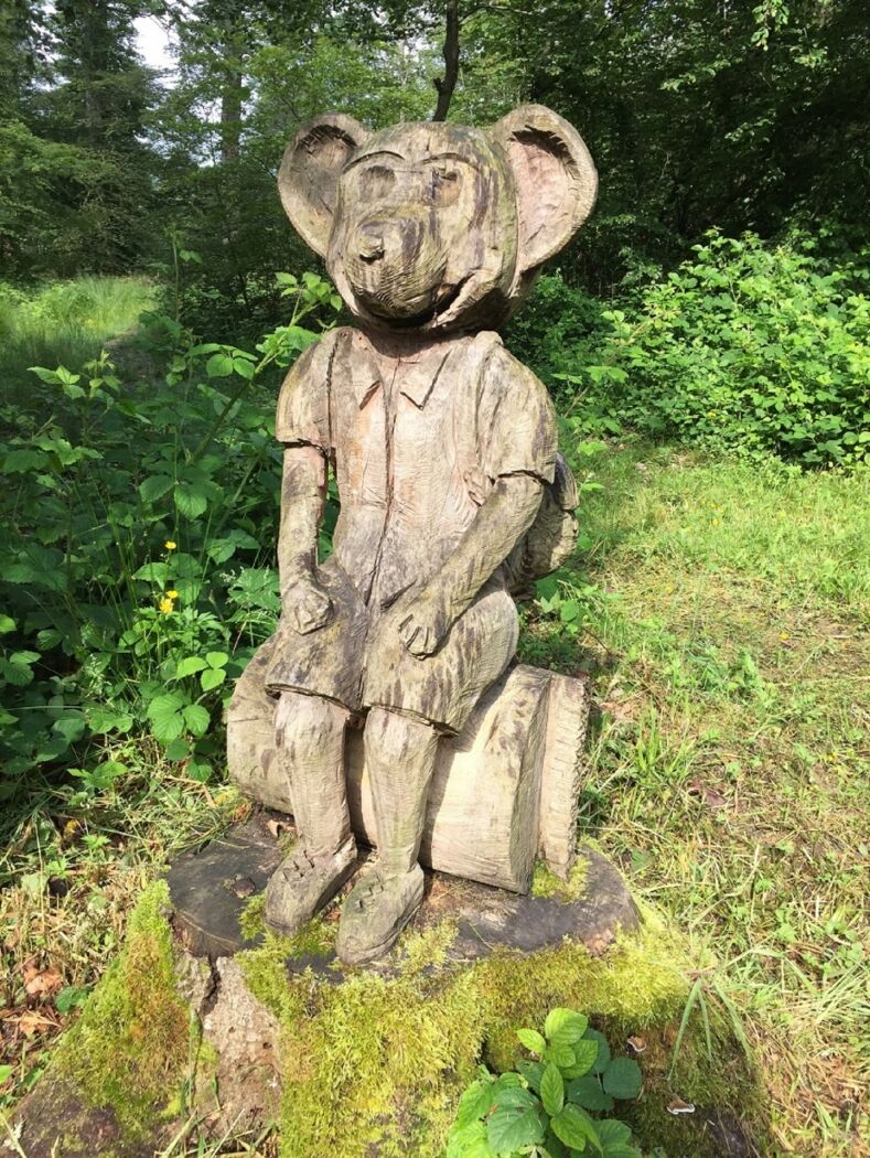
On 13 stops, the children discover this educational trail with a length of 5,5 km. They will be on the track of forest animals, learn about children rights and discover the “washing machine of the grandmother”. Those who still have energy can play near the old train station in Bech.
The trail is not accessible for strollers.
- Directions
-
The children's hiking trail with a total length of 5.5 km leads from Becher railway station via Altrier, where excavations have uncovered one of the most important Roman settlements on Luxembourg territory.
This settlement at the crossroads of the Trier-Ardennes and Luxembourg-Echternach Roman roads was probably destroyed by the Huns in the 5th century. Hardly anything can be seen of the former vicus on site, but the numerous finds are housed in the National Museum of History and Art.
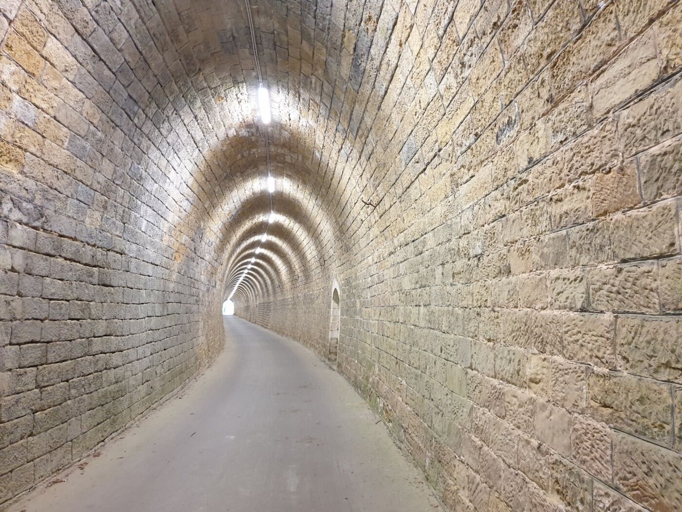
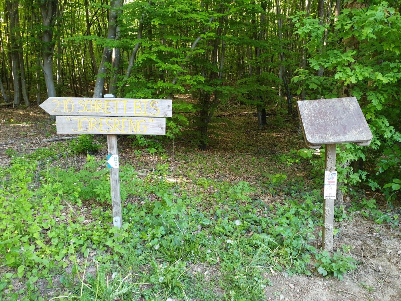
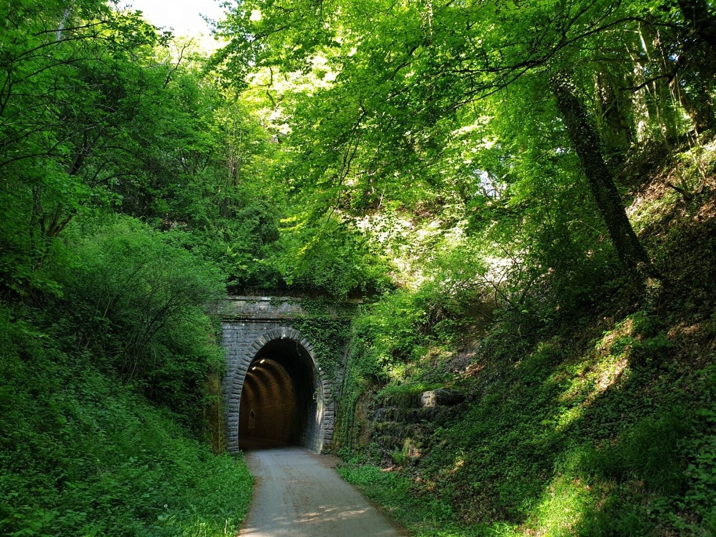
To the south and east of Altrier are the quiet villages of Hemstal, Zittig and Bech, which have so far been spared too much tourist activity, directly on the former narrow-gauge railway with the popular name "Charly". The path leads you back to the starting point along today's cycling and hiking route.
- Highest point
- 396 m
- Endpoint
-
Becher Gare
- Height profile
-
 © outdooractive.com
 - Equipment
-
something to drink
- Safety instructions
-
The trail is not accessible for strollers.
- Tips
-
The restaurant Becher Gare is the ideal stop and offers, in an elegant setting with a breathtaking views, a traditional French-Luxembourgish cuisine.
- Additional information
- Public transportation
-
Closest bus stop: Bech, Um Faubourg (600m)
- Parking
-
Closest parking lot: Parking lot Gare (50m)

- Author
-
The tour Hiking Trail for kids 'On the tracks of Charly' is used by outdooractive.com provided.


General info
-
Müllerthal
549
-
Betzdorf
155


