© Visit Luxembourg - Hiking in Luxembourg/Laurent Jacquemart


© SaarSchleifenLand - © Wanderbüro Saar-Hunsrück, Klaus-Peter Kappest

© Visit Moselle - © Wanderbüro Saar-Hunsrück, Klaus-Peter Kappest

© Visit Moselle - © Wanderbüro Saar-Hunsrück, Klaus-Peter Kappest

© Visit Moselle - © Wanderbüro Saar-Hunsrück, Klaus-Peter Kappest

- Brief description
-
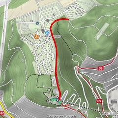
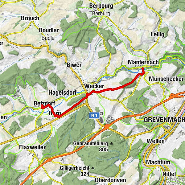
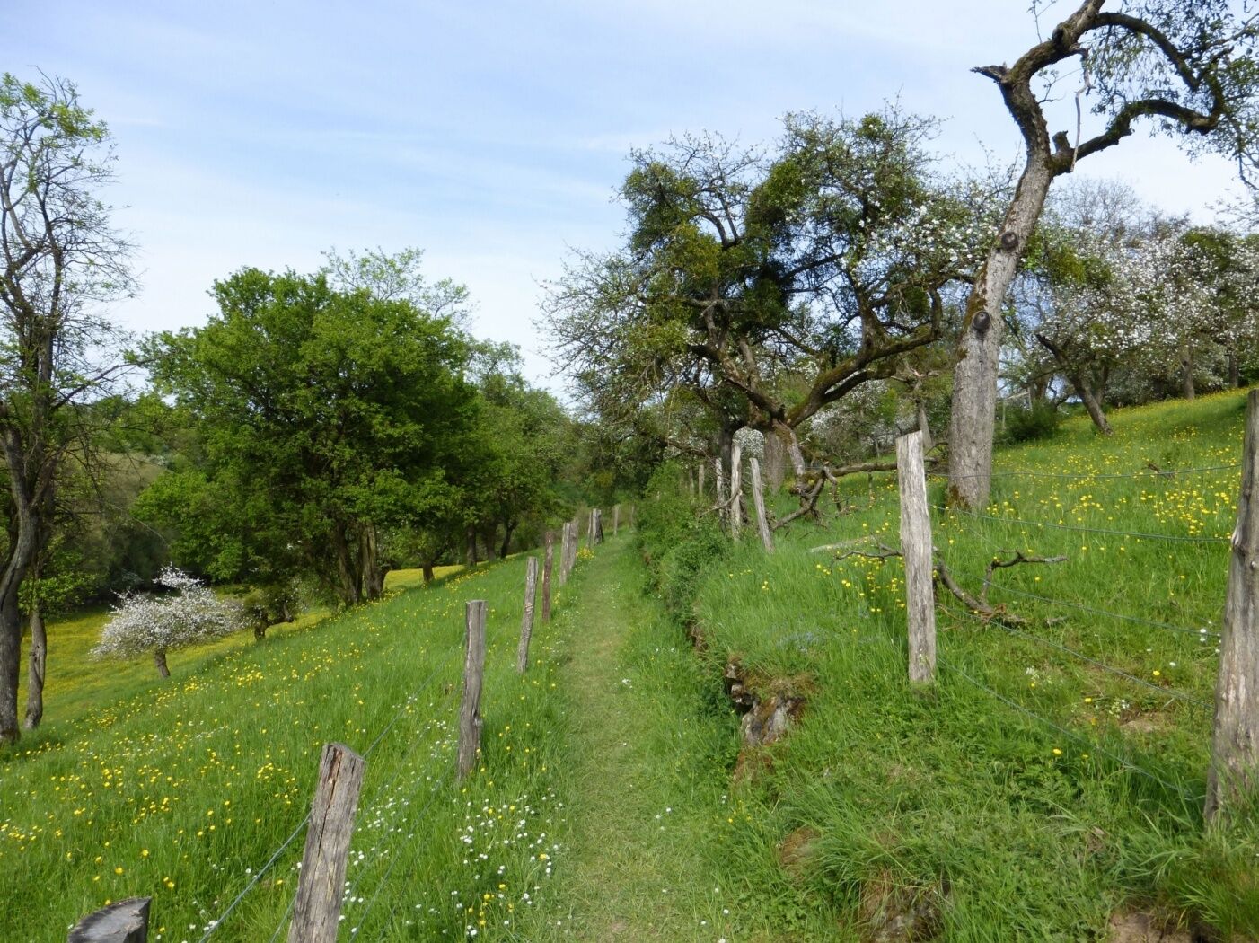
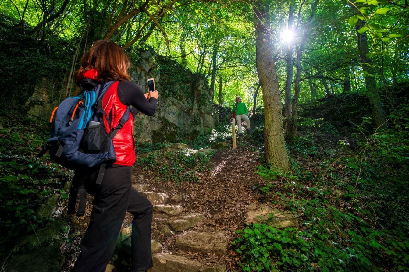
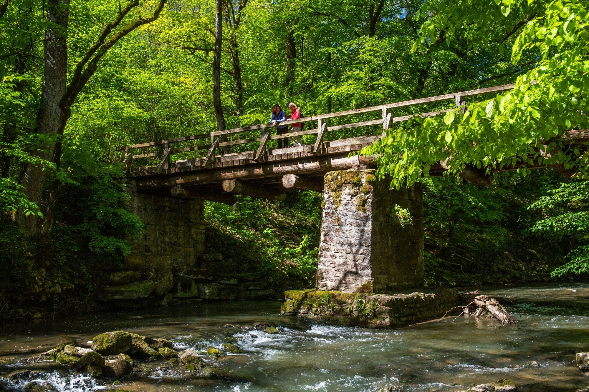
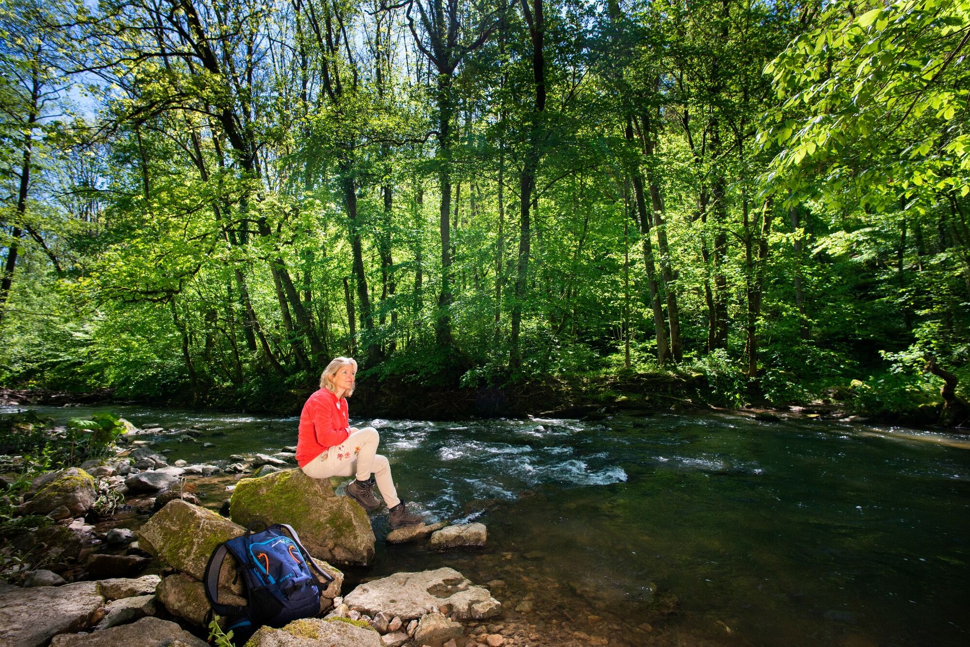
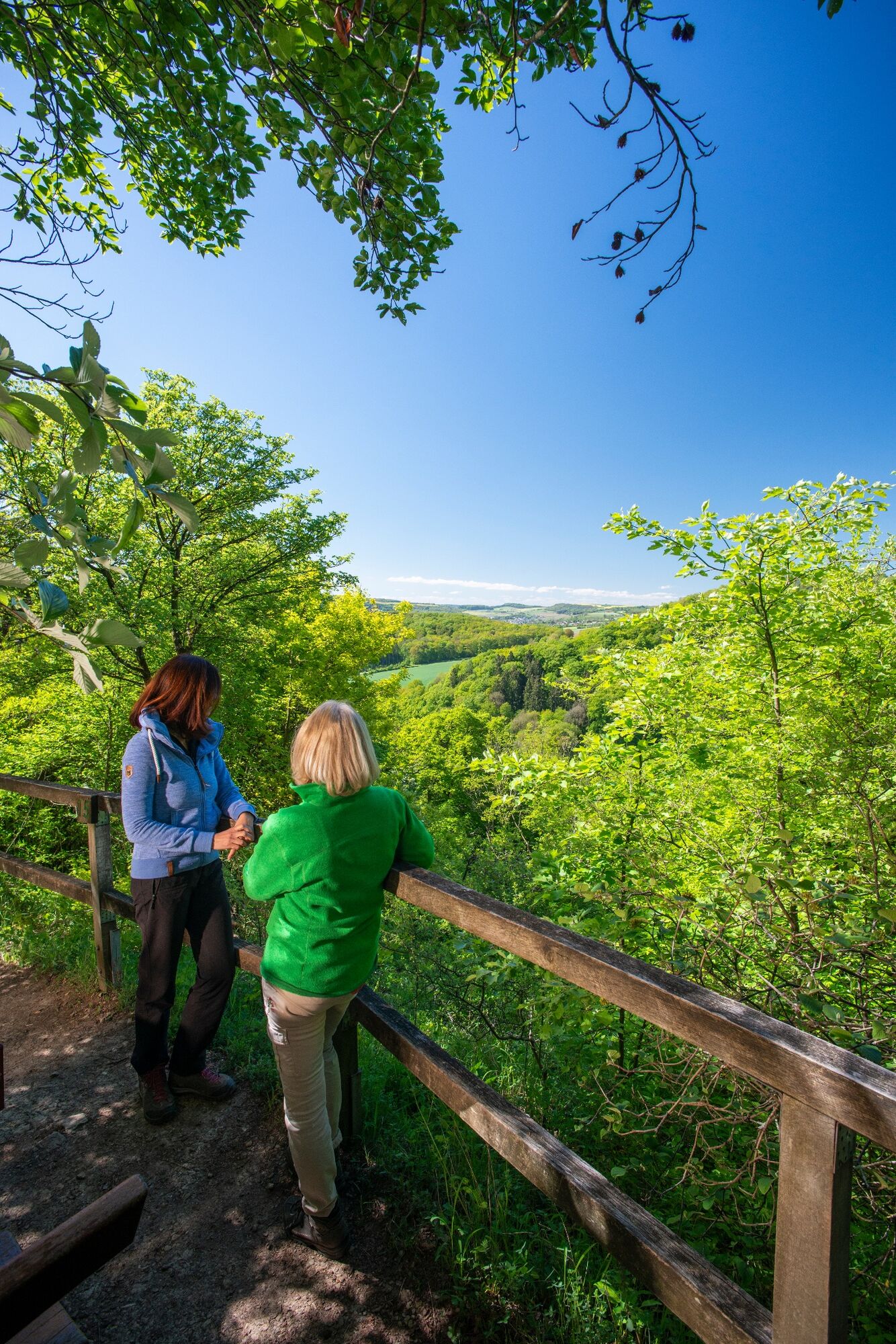
42 Station to station Betzdorf - Manternach
- Difficulty
-
easy
- Rating
-
- Starting point
-
Train station Betzdorf
- Route
-
Betzdorf0.3 kmRelais du Château de Betzdorf Sàrl0.4 kmBerg1.2 kmWecker3.9 kmam Burfeld7.2 kmManternach7.3 kmBelleville7.3 km
- Best season
-
JanFebMarAprMayJunJulAugSepOctNovDec
- Description
-
Starting point: Betzdorf Station
- Directions
-
The hiking trail is marked in both walking directions. Please follow the white-red waymarks.
- Highest point
- 273 m
- Endpoint
-
Train station Manternach
- Height profile
-
 © outdooractive.com
 - Equipment
-
Sturdy shoes and something to drink.
- Safety instructions
-
Weather conditions such as wetness, ice and wind can make a tour difficult. The information given refers to optimal conditions.
- Additional information
- Public transportation
-
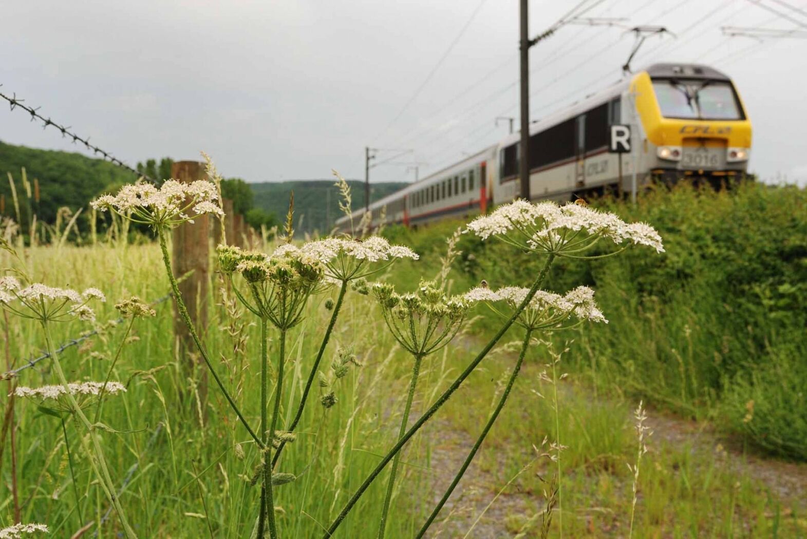
Use the free public transport and travel climate-friendly by bus and train. The start and end points of all CFL trails are accessible by train.
- Parking
-
A parking place is located directly at the starting point.

- Author
-
The tour 42 Station to station Betzdorf - Manternach is used by outdooractive.com provided.
GPS Downloads


Other tours in the regions
-
Region Mosel
446
-
Betzdorf
154