


- Brief description
-
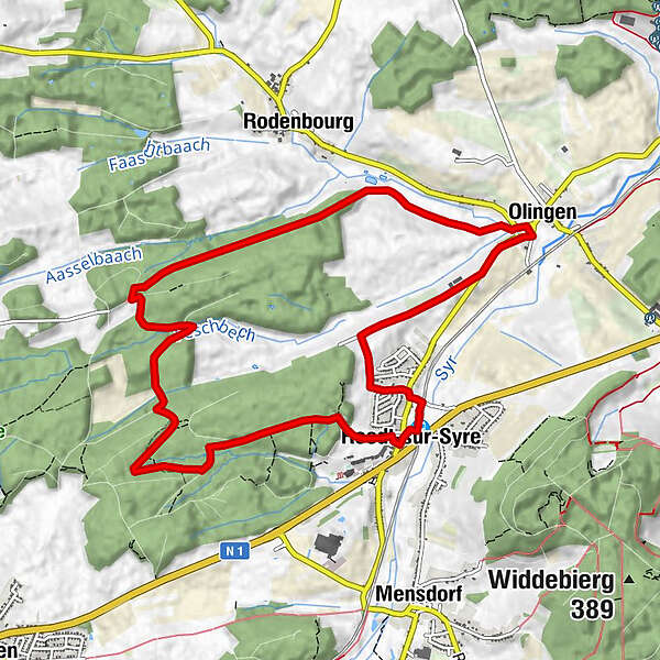
Take advantage of this shaded trail through the Riederbësch, Baurebësch forests and the roman road Kiem which then follows a country road and passes through fields on the return journey.
- Difficulty
-
medium
- Rating
-
- Starting point
-
Train station Roodt-sur-Syre
- Route
-
RoodtRoodt/Syre0.2 kmOlingen8.0 kmRestaurant Rébeca8.1 kmRoodt/Syre10.7 kmRoodt10.7 km
- Best season
-
JanFebMarAprMayJunJulAugSepOctNovDec
- Description
-
Start: train station of Roodt-sur-Syre
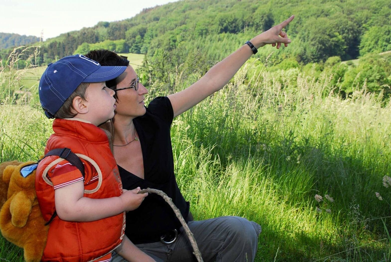
We go through the village and enter the Riederbësch. We wander through the Baurebësch and the Kiem to Olingen. We return to the starting point via the country road and through some fields.
- Highest point
- 306 m
- Endpoint
-
Train station Roodt-sur-Syre
- Height profile
-
 © outdooractive.com
 - Equipment
-
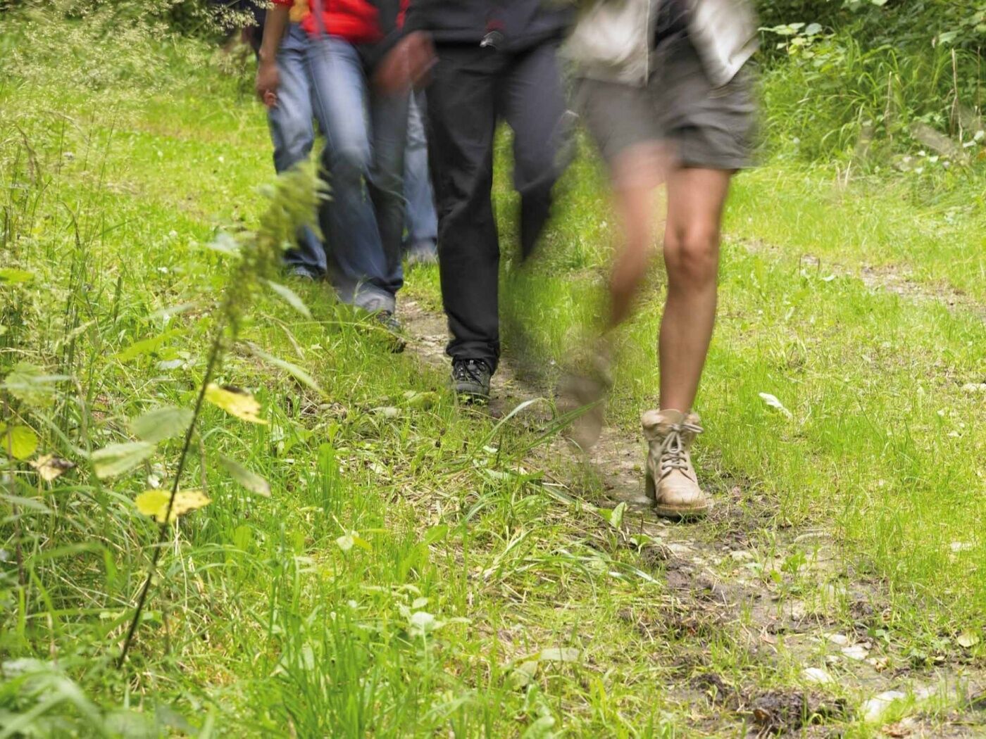
Sturdy footwear
- Tips
-
Church of Saint Jacob, first mentioned in 1083.
Commemorative plaque for the last wolf killed in Luxembourg, in 1892.
- Additional information
- Public transportation
-
Train station: Roodt-sur-Syre
Bus stop: Gare-routière Roodt-sur-Syre
- Parking
-
Parking spots in front of the train station

-

-
AuthorThe tour Auto-pédestre trail Roodt-sur-Syre is used by outdooractive.com provided.
GPS Downloads


General info
Refreshment stop
Other tours in the regions
-
Region Mosel
446
-
Niederanven
105


