© Visit Moselle - Michelle Bingen

© Visit Moselle - Jos Muller

© Visit Moselle - Michelle Bingen

© Visit Moselle - Michelle Bingen

© Visit Moselle - Michelle Bingen

- Brief description
-
SE2
- Difficulty
-
easy
- Rating
-
- Starting point
-
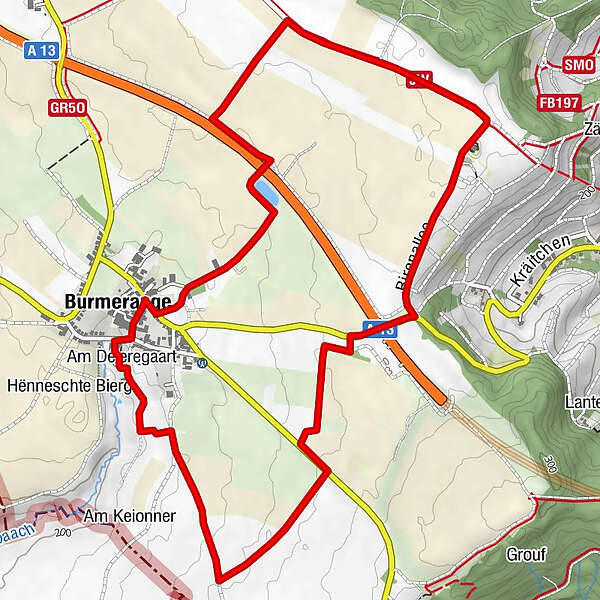
Cultural centre Maus Ketti, Burmerange
- Route
-
Am Fraeschpull0.0 kmBürmeringen0.2 kmAm Déieregaart6.6 kmBürmeringen6.8 kmAm Fraeschpull6.8 km
- Best season
-
JanFebMarAprMayJunJulAugSepOctNovDec
- Description
-
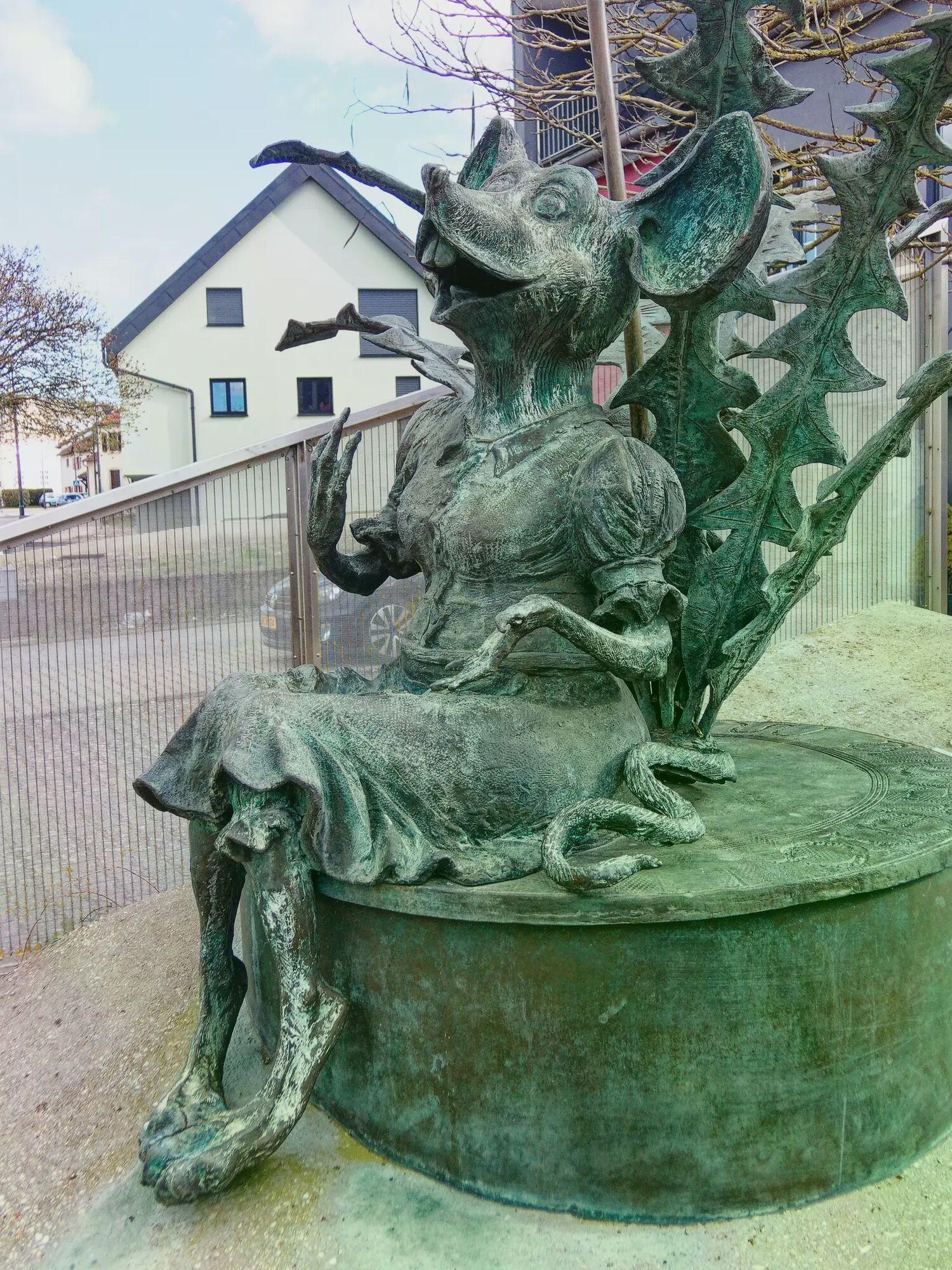
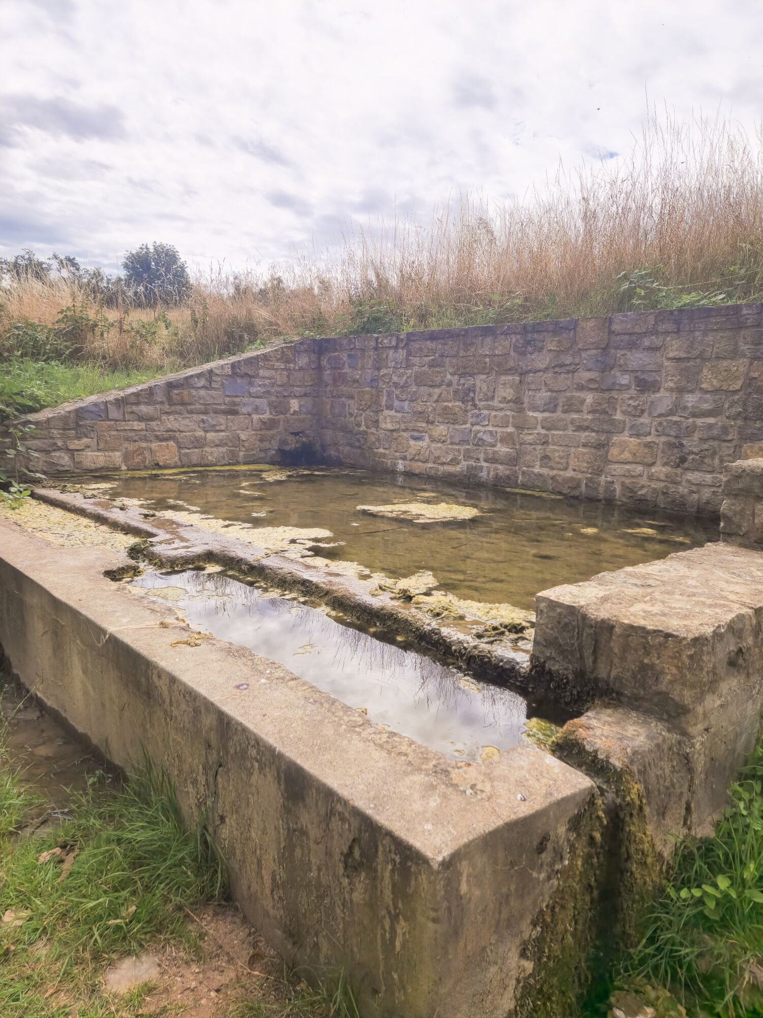
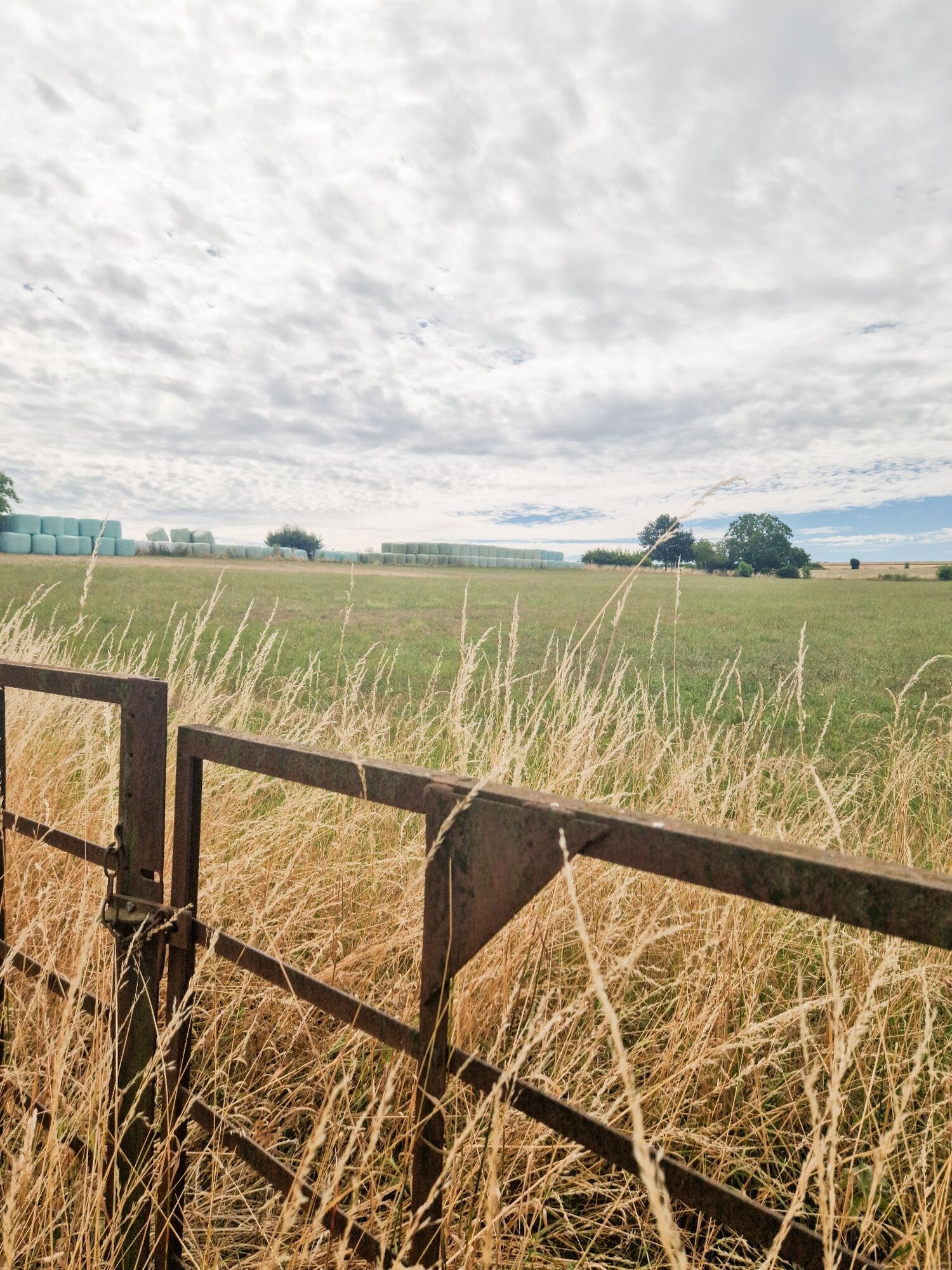
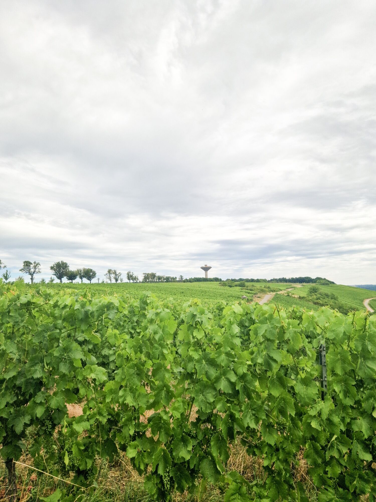
This hike gives an impression of the impressive size of the Bürmeringer Flur, coupled with magnificent views. Passing the Maus-Ketti statue, the path leads from the village of Burmerange towards Wintringen, where after crossing the Bauerebrëck you can admire the extensive and agriculturally valuable fields. The pear tree avenue, one of the last in Luxembourg, leads to vineyards where you have an impressive view over the winegrowing village of Remerschen and the lower Moselle valley. In the direction of Remerschen you reach the other part of the field, around Hëschel and Tritlingen, which indicate disappeared settlements. Over the Queeschewee you head towards the French border, where the view glides over the graceful plateau of Lorraine and where you can see half a dozen French villages, recognizable by the red roof tiles.
- Highest point
- 275 m
- Endpoint
-
Cultural Centre Maus Ketti, Burmerange
- Height profile
-
 © outdooractive.com
 - Additional information
-
Mail: quality@visitmoselle.lu
Tel: +352 26 74 78 74
www.visitmoselle.lu
- Public transportation
-
Bus stop: Burmerange, Bei der Kiirch
- Parking
-
Parking cultural centre Maus Ketti

- Author
-
The tour SE2 is used by outdooractive.com provided.
GPS Downloads


Other tours in the regions
-
Region Mosel
447
-
Schengen
63