
- Brief description
-
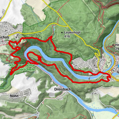
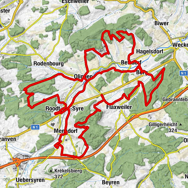
Betzder Panorama-Tour
- Difficulty
-
easy
- Rating
-
- Starting point
-
Train station Betzdorf - 7, Rue de la Gare 6832 Betzdorf
- Route
-
BergBerg5.3 kmFlaxweiler7.5 kmBanzelt8.5 kmGrotte11.9 kmMensdorf18.3 kmChapelle18.4 kmÉglise de l'Assomption de la Bienheureuse-Vierge-Marie18.5 kmRoodt/Syre19.8 kmSaint-Jacques-le-Majeur19.8 kmPeitry Restauberge19.9 kmMugen20.0 kmRoodt21.3 kmOlingen29.4 kmRestaurant Rébeca29.4 kmBetzdorf39.1 kmRelais du Château de Betzdorf Sàrl39.3 kmBerg40.2 kmOlingen43.6 kmRoodt/Syre45.6 km
- Best season
-
JanFebMarAprMayJunJulAugSepOctNovDec
- Description
-
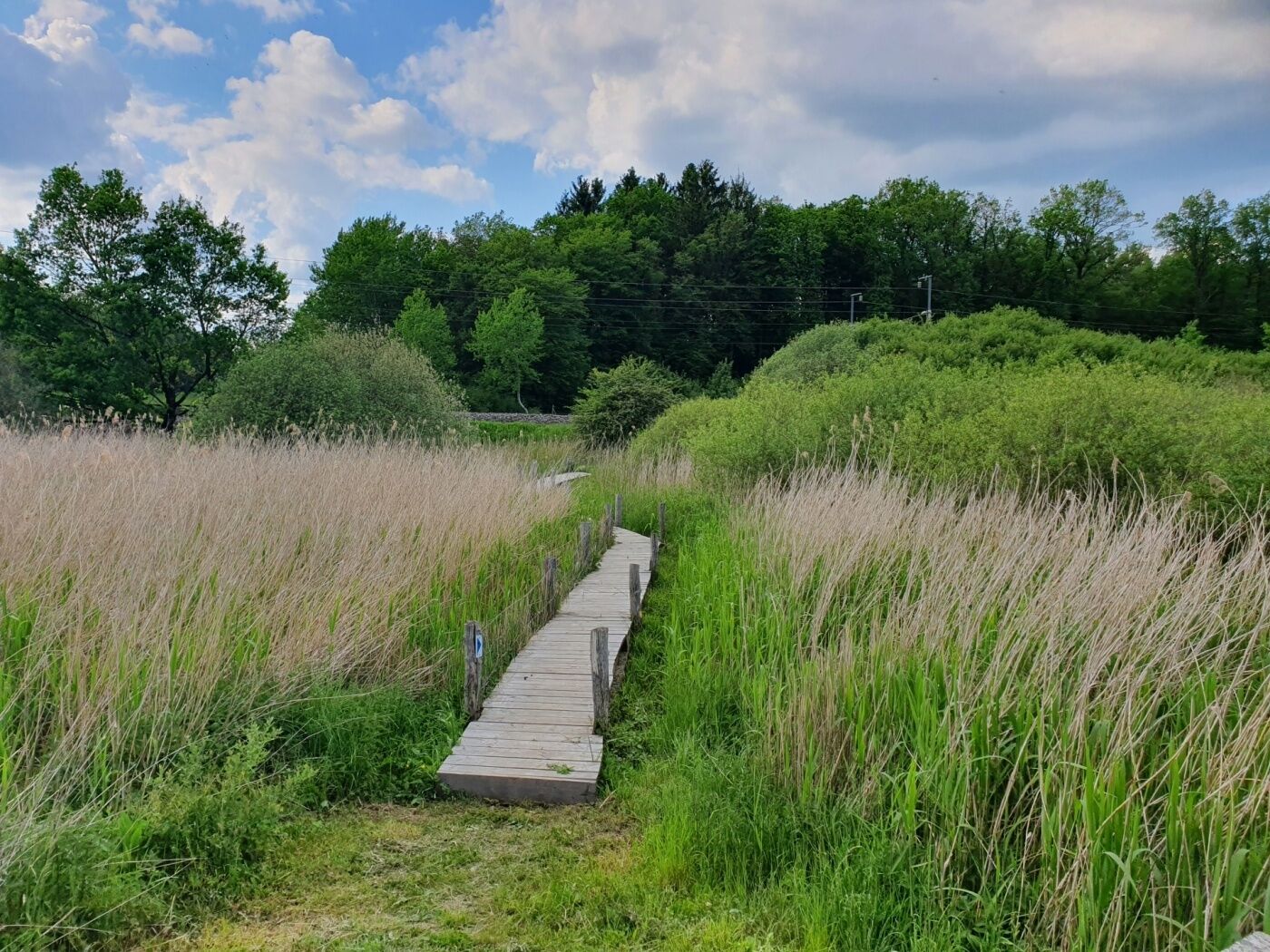
HIKE ON THE HEIGHTS OF THE MUNICIPALITY OF BETZDORF
The Panoramic Tour is a 40.5 km circular route that circles the municipality and runs along the ridges on the edge of the Syria Valley, offering a magnificent view of the valley and the various villages. The tour is divided into 6 stages due to its length.
- Highest point
- 389 m
- Endpoint
-
Train station Betzdorf - 7, Rue de la Gare 6832 Betzdorf
- Height profile
-
 © outdooractive.com
 - Equipment
-
firm footwear
- Tips
-
Discover the "Widdebierg" with the "Betzder Panorama Tour" - a beautiful viewpoint!
- Additional information
-
Mail: quality@visitmoselle.lu
Tel: +352 26 74 78 74
www.visitmoselle.lu
- Public transportation
-
Train station Betzdorf
Bus stop: Bei der Schoul, Betzdorf
- Parking
-
Parking in front of the train station in Betzdorf
-

-
AuthorThe tour Betzder Panorama-Tour is used by outdooractive.com provided.
GPS Downloads


Other tours in the regions
-
Region Mosel
446
-
Flaxweiler
123