© Visit Luxembourg - Visit Moselle

- Brief description
-
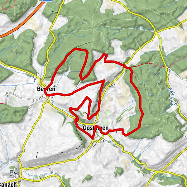
Circular walk Gostingen
- Difficulty
-
medium
- Rating
-
- Starting point
-
Parking Cultural Center Gostingen
- Route
-
Exaltation-de-la-Sainte-Croix0.1 kmGostingen0.2 kmBeyren5.8 kmÉglise Saint-Érasme5.9 kmKapenacker9.0 kmGostingen13.3 km
- Best season
-
JanFebMarAprMayJunJulAugSepOctNovDec
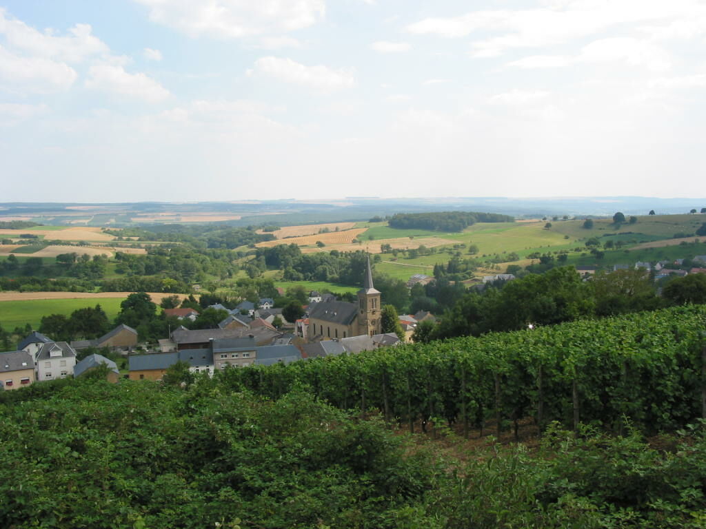
- Description
-
An extensive and varied hike linking the villages of Gostingen, Beyren and Kapenaker.
- Directions
-
We traverse the town and follow the Beyrenerbaach, which we cross twice. We then go across fields and through forests towards Beyren. We return to the starting point via the forests located around Gostingen.
- Highest point
- 358 m
- Endpoint
-
Parking Cultural Center Gostingen
- Height profile
-
 © outdooractive.com
 - Additional information
- Public transportation
-
The next bus station is: Gostingen, Festsall
- Parking
-
Parking directly at the starting point
-

-
AuthorThe tour Auto-pédestre trail Gostingen is used by outdooractive.com provided.
GPS Downloads


Other tours in the regions
-
Region Mosel
446
-
Lenningen
110